
Quick report
If skies stay clear, it’s best to get an early start and plan to be off the snow by around noon. With full sun this time of year, the surface can deteriorate quickly, and I was surprised by just how unsupportable the snow became before midday. If cloud cover moves in, overnight temperatures drop into a hard freeze, or daytime highs stay cooler, you may be able to stretch your window a bit—but conditions can still change rapidly, so it’s worth keeping a close eye on how the snow is responding.
As the day warms, expect small wet avalanches to become increasingly likely, especially on steep slopes where the surface snow loses strength. With air temperatures reaching 51°F, the rapid transition makes more sense in hindsight. Travel is also becoming more challenging overall, with patchy coverage at lower elevations, though I was still able to find consistent snow starting around 4,500 feet.
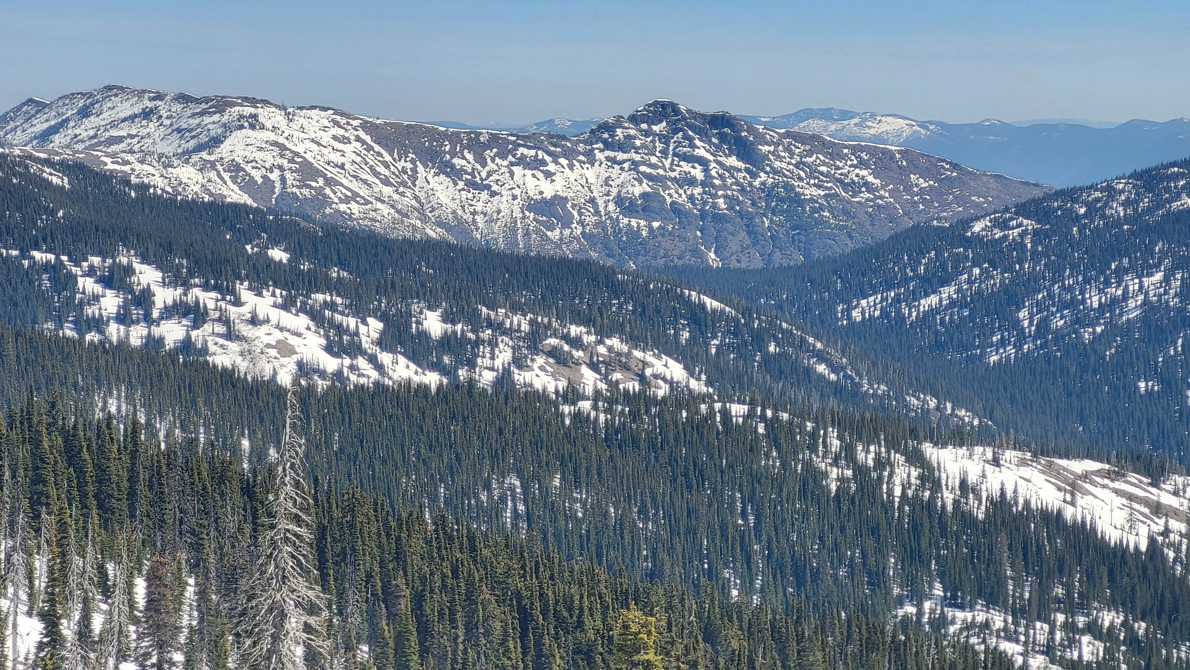
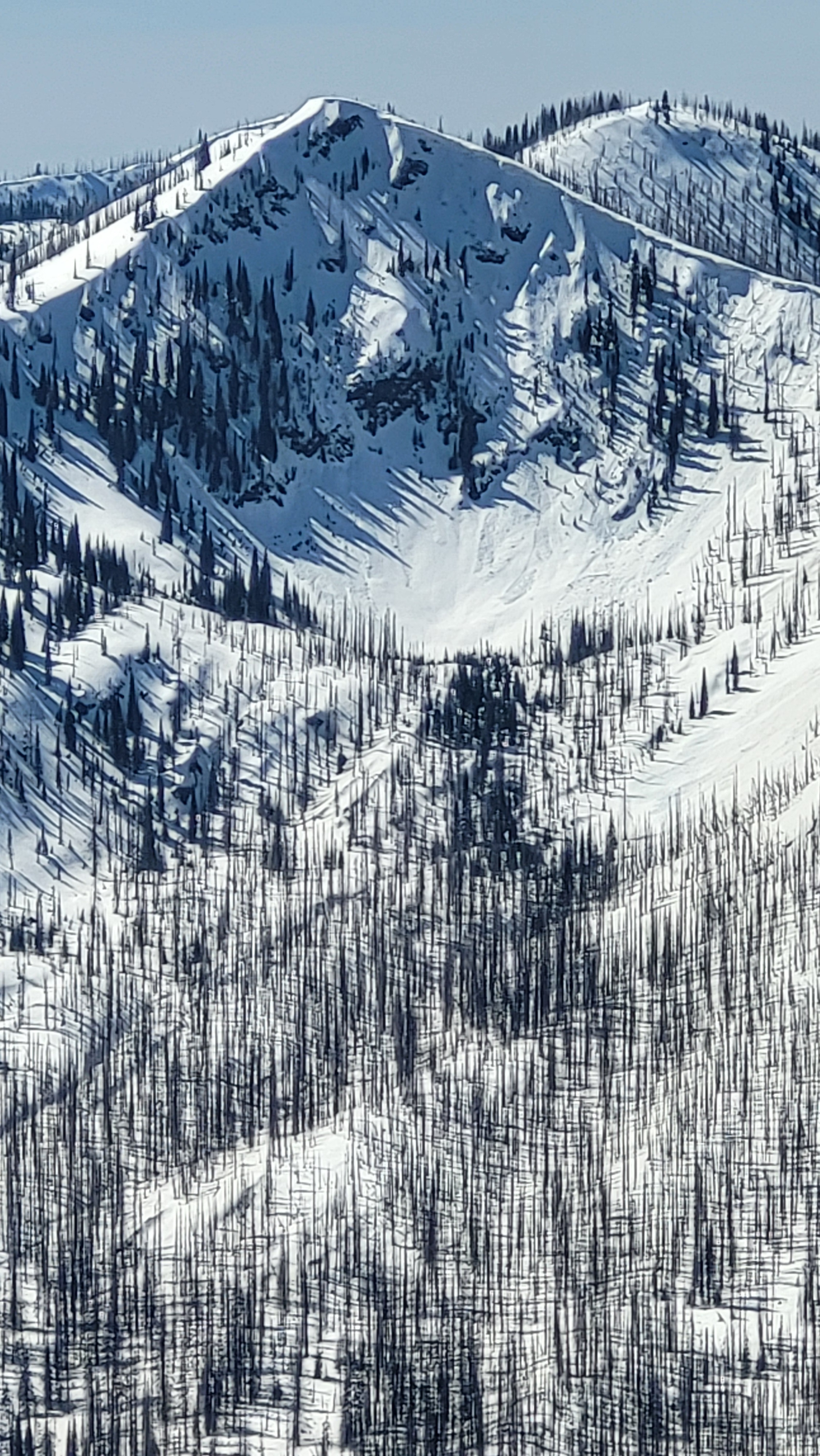
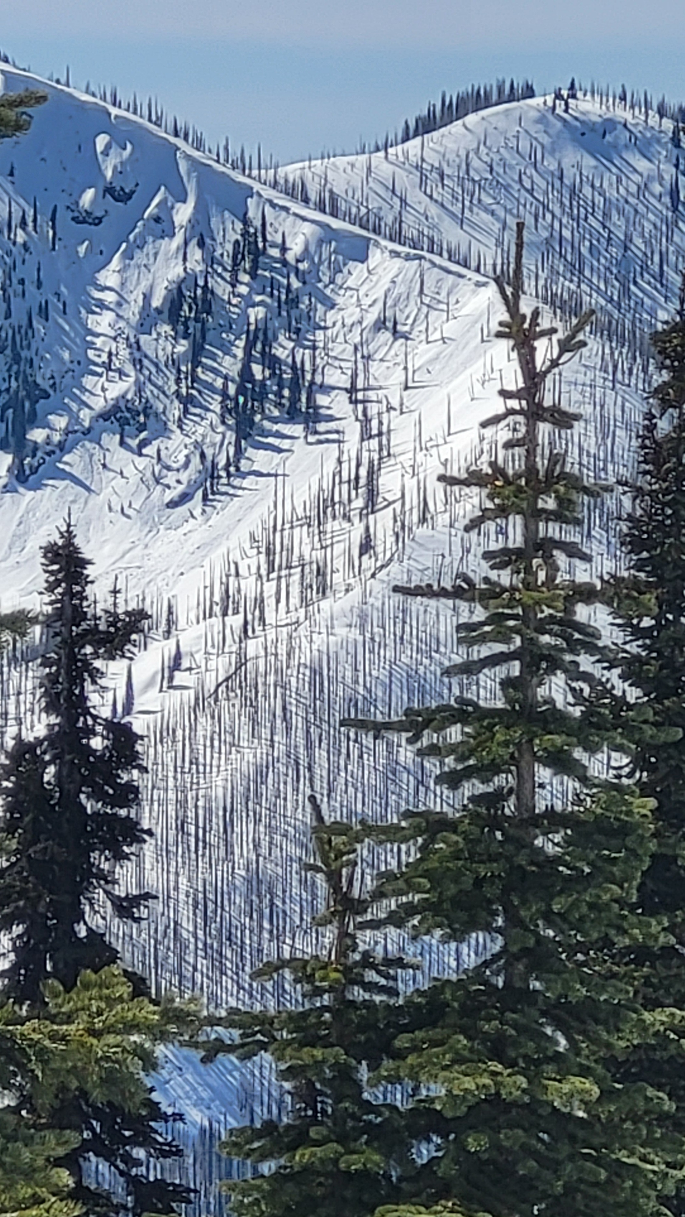
Multiple size 1-2 wet avalanches in the 5-6000 ft range, mostly on E and S facing slopesWeather
- Air Temp
- 51 at 6000'
- Cloud Cover
- clear
- Recent Snowfall
- 0
Warm and sunny
Snowpack
Ther primary concern in the the snowpack is on the surface. the top 12 inches or so are going through a melt-freeze cycle. The firm slab of snow below the surface is preventing water from draining deep in the snowpack and is also keeping deep instabilities as less of a concern.
If you're heading out, going early will be better conditions.