
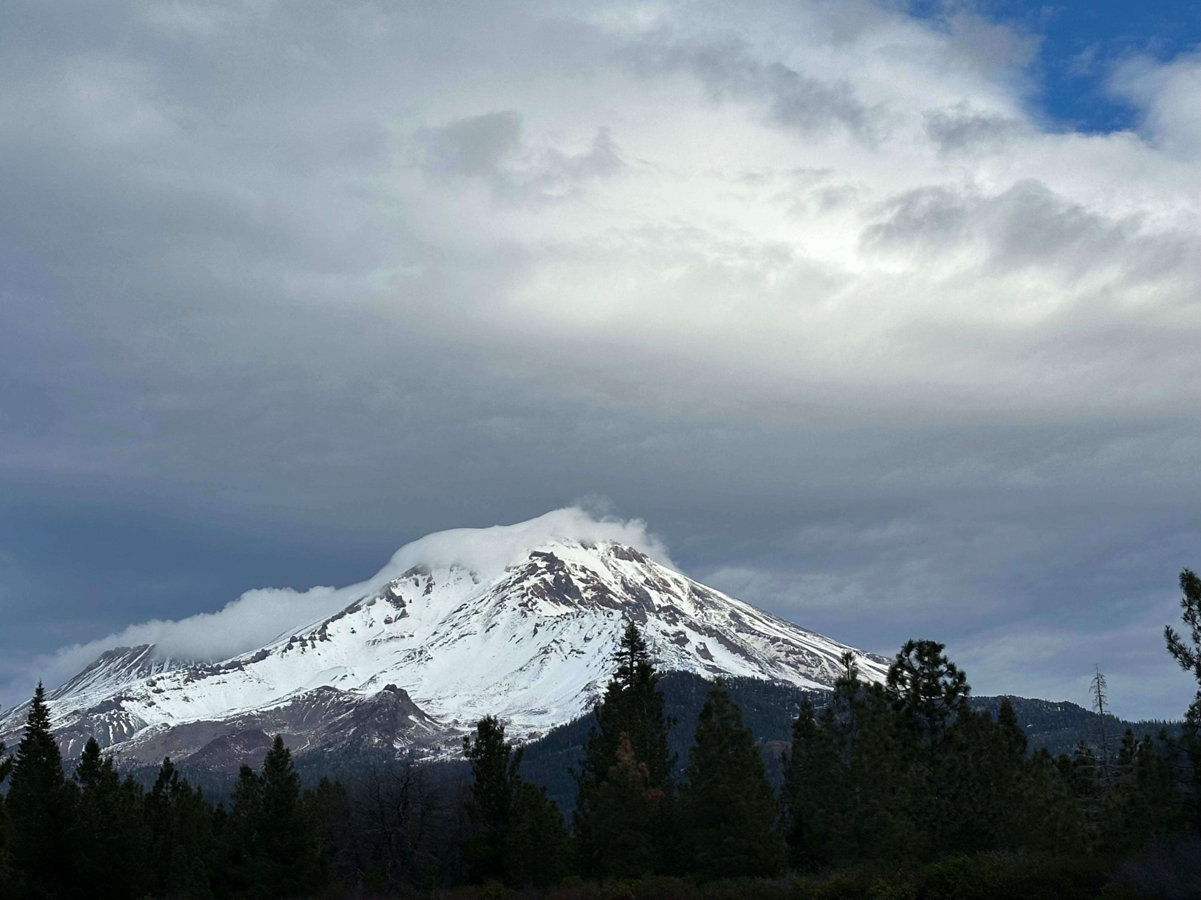
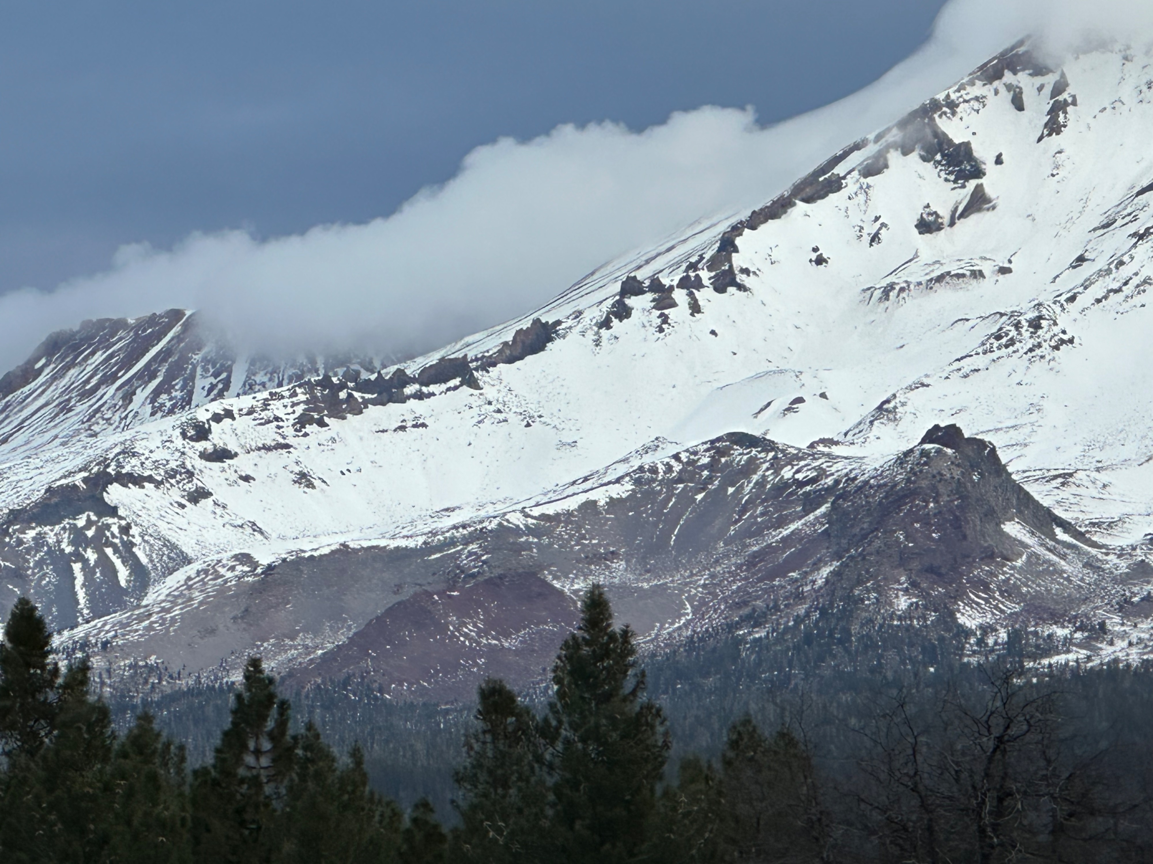
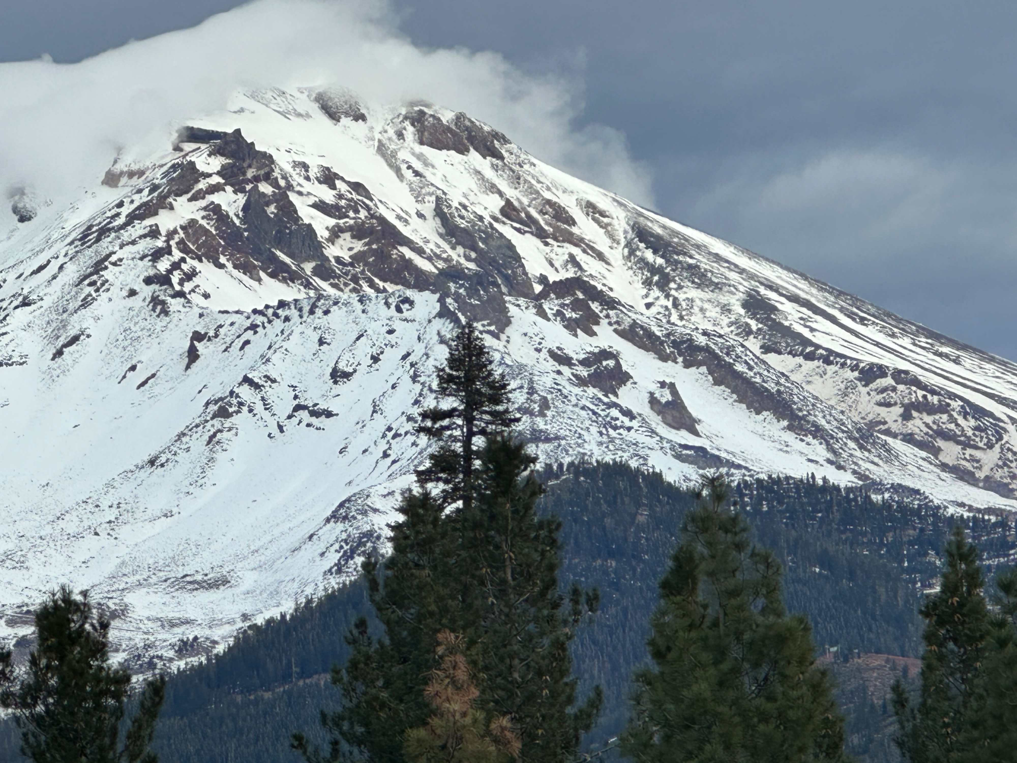
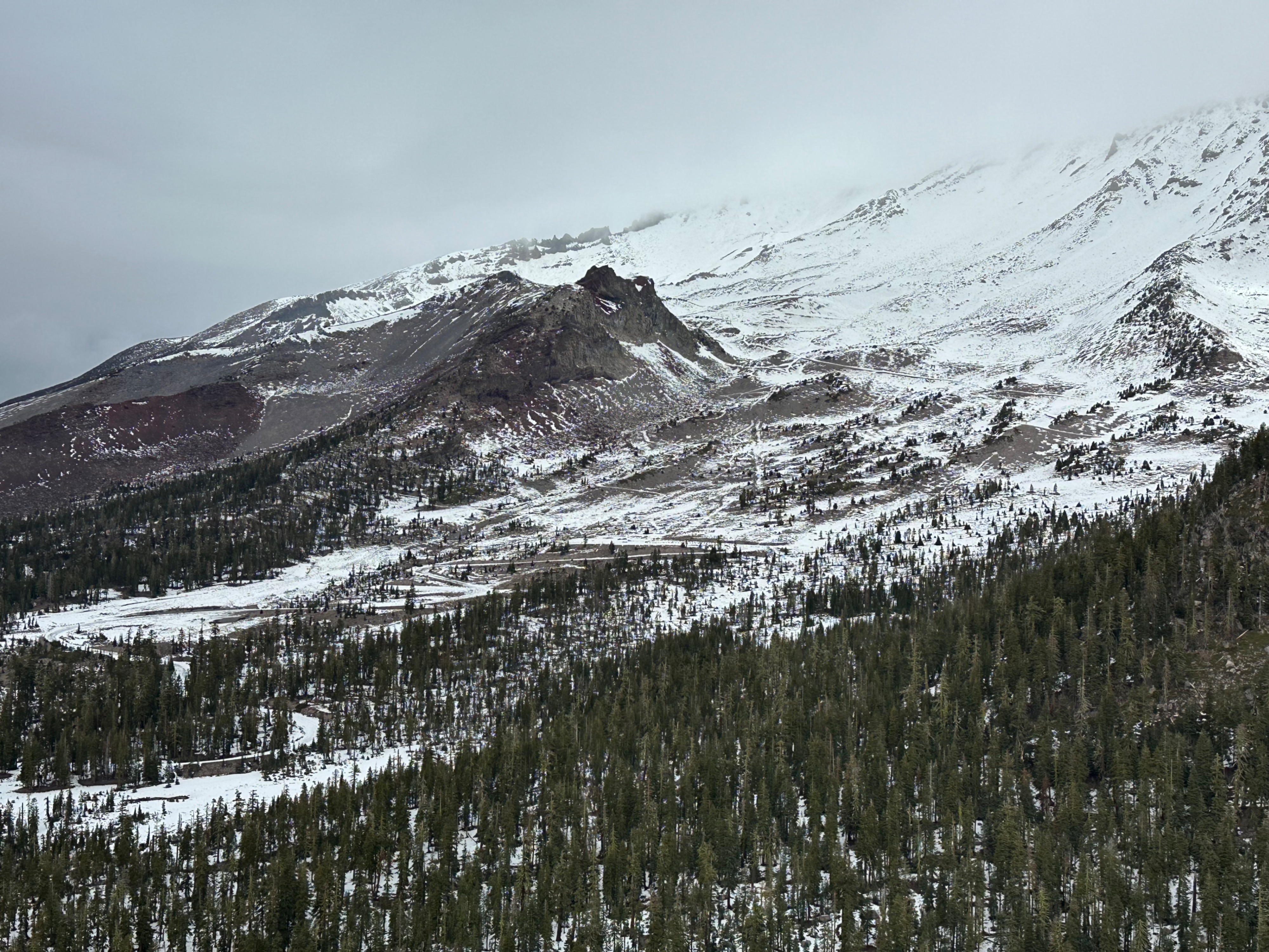
Quick report
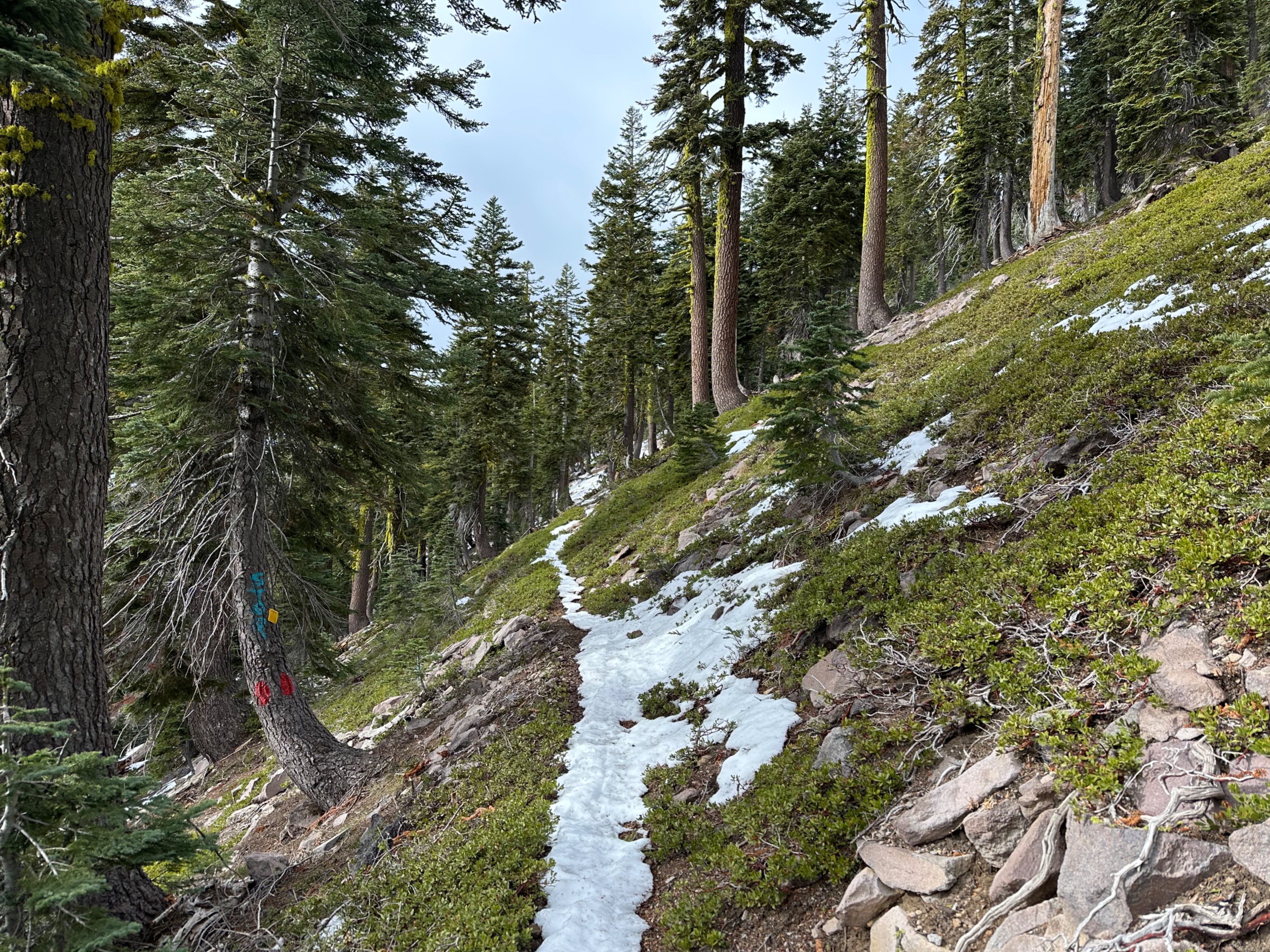
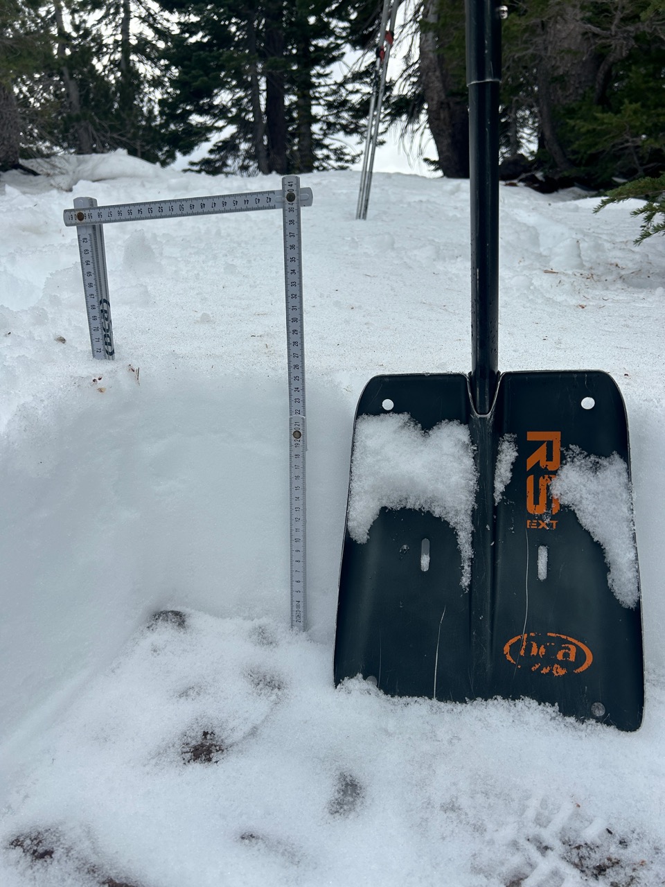
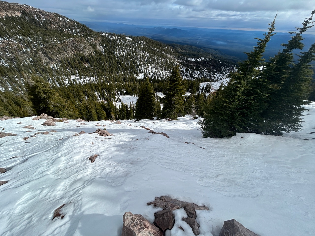
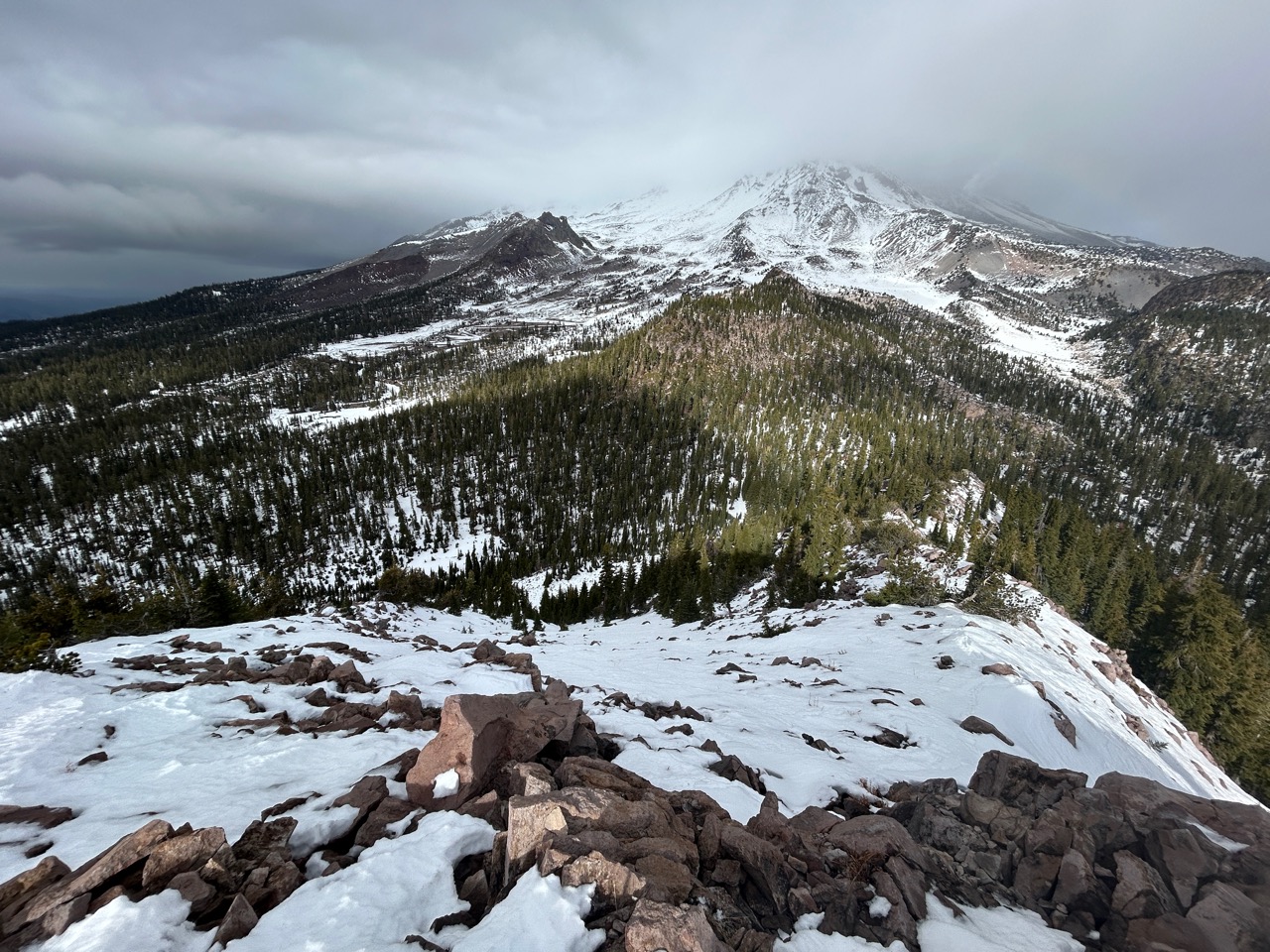
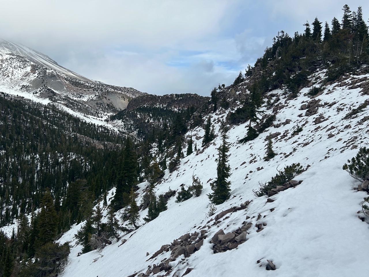
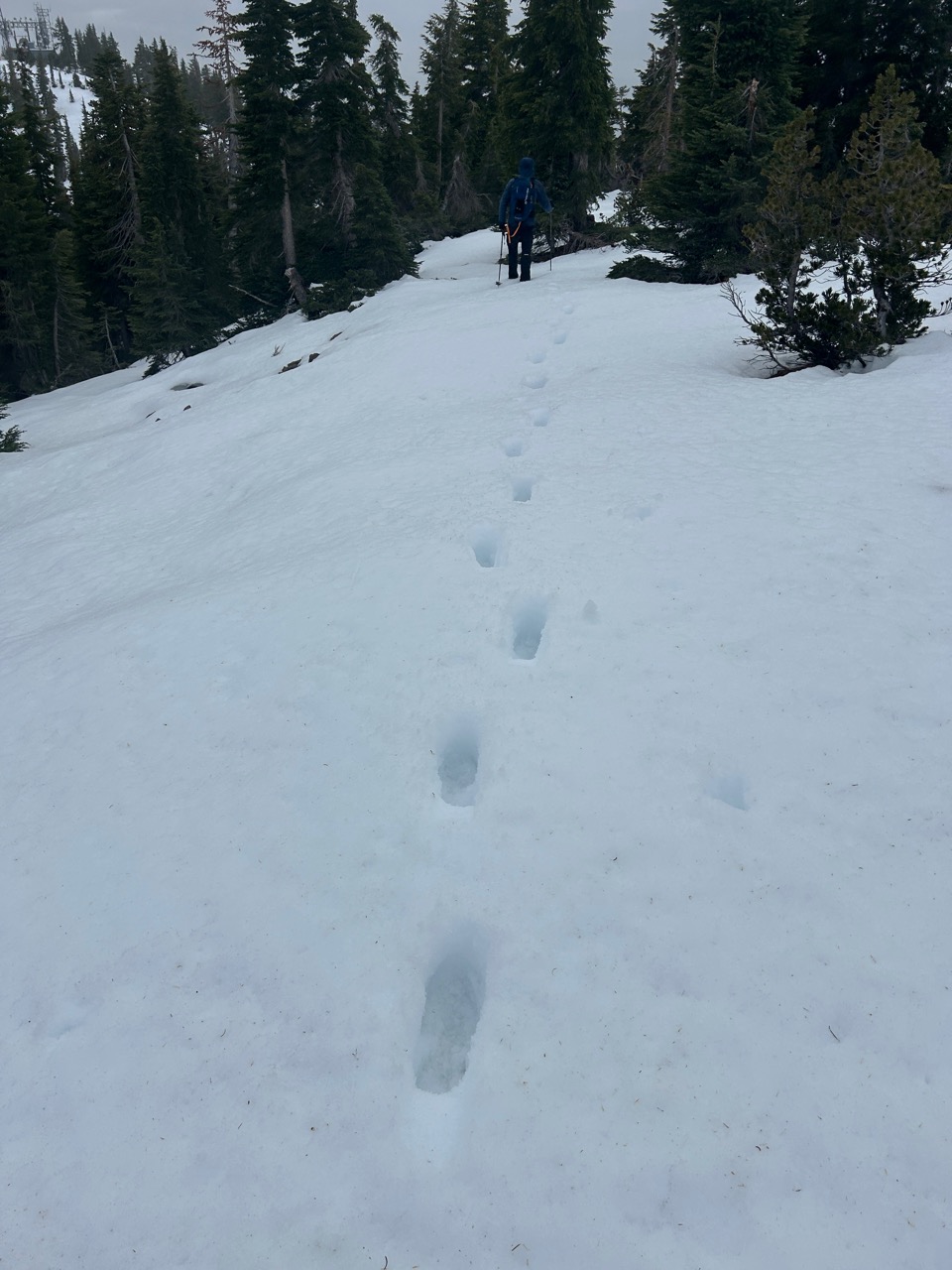
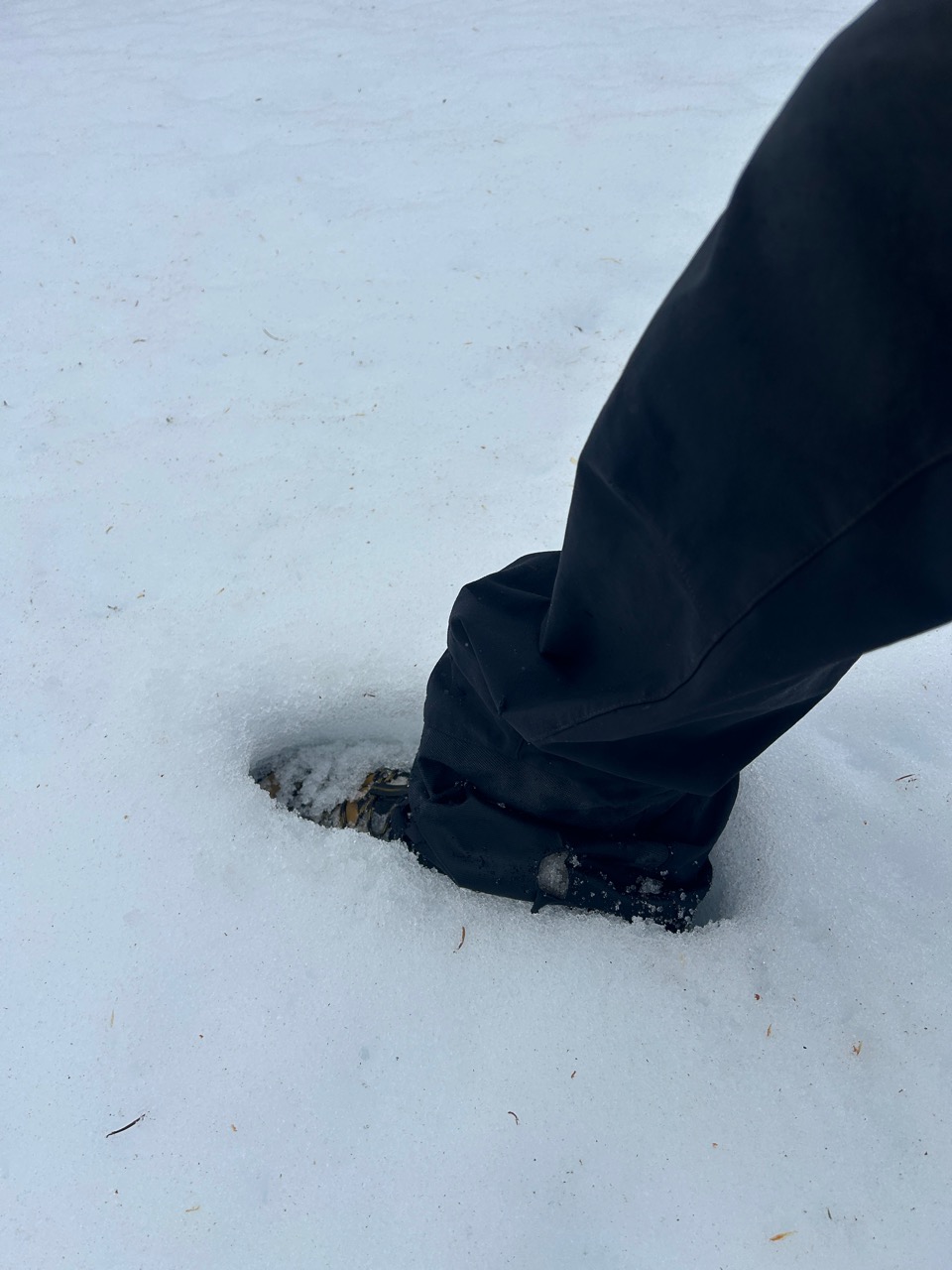
Minimal snow coverage remains the theme. On average, 10" of snow exists at 8,000'. Northern aspects and flat terrain hold the majority of consistent snow coverage, while steep southerly aspects are patchy and bare. Over the last 24 hours, warm mountain temperatures have caused surfaces to become moist and damp. Even snow buried a few inches down has dampened significantly. This will promote strengthening of the snowpack, which is a good thing. Of course, when cooler temperatures do return, which could be tonight or tomorrow, robust surface crusts are likely to form.
Weather
- Air Temp
- 47
- Cloud Cover
- broken
- Wind Loading
- none
- Rain Elevation
- 9,000'
- Recent Snowfall
- 0
- Snow Avail For Transport
- none
An approaching front from the northwest brought increased cloud cover with a few pulses of rain showers. Winds blew from the north-northwest at moderate speeds, with stronger gusts higher up. Temperatures fluctuated regularly throughout the 40s during the field visit.
Snowpack
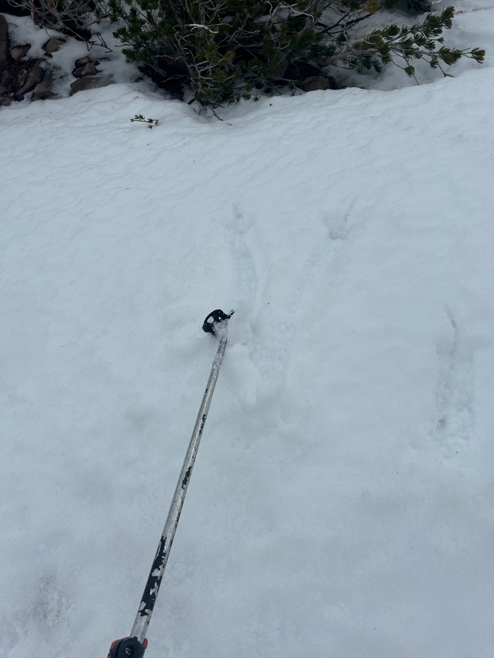
The snowpack's very straightforward. Either there's snow, or there isn't. For areas with snow near treeline, 10" seems to be the average depth. This 10" is comprised of either a melt-freeze surface crust or wind-packed frozen snow. Below the surface layers, more preserved snow exists that's slowly, slowly rotting away. Forecasters aren't too concerned with this snow structure as it's very isolated, inconguent, and is now trending stronger given the warmer temperatures. Moving forward, we'll keep a close eye on those weaker grains near the base of our snowpack and relay any necessary information. Perhaps the more important piece to have on your radar are the bed surfaces. Given the wide variety and spatial distribution of bed surfaces out there, many of which are firm and slick, it's important to know where they exist as these will be the first locations to produce avalanches.