
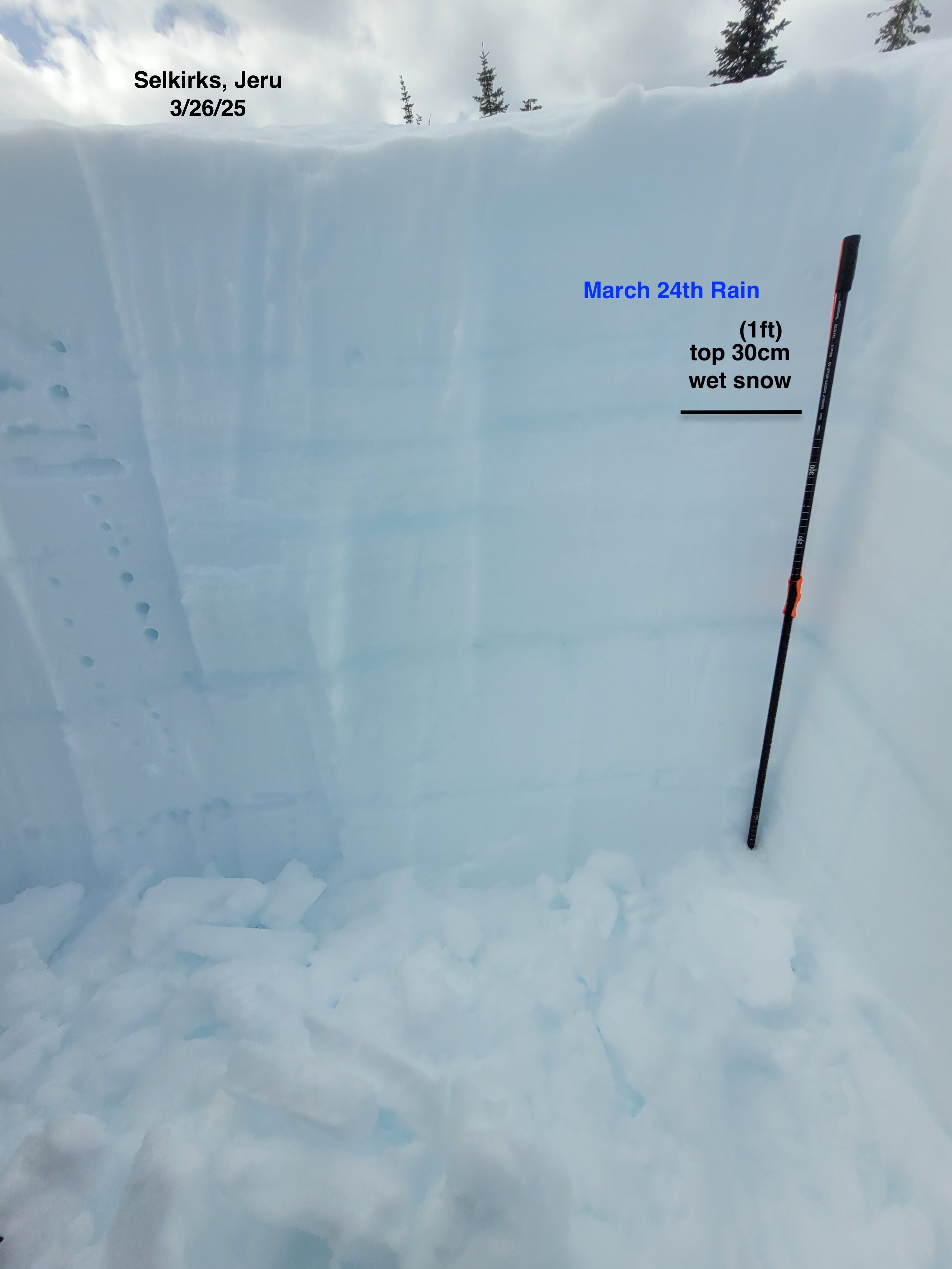
Quick report
Previous rain, above freezing temperatures and wet snow drive current snowpack instabilities. You can reduce avalanche risks by avoiding steep and corniced slopes, and runout zones. Current conditions will begin to change with shifting weather conditions.
Weather
- Cloud Cover
- scattered
- Wind Loading
- none
- Snow Avail For Transport
- none
Warm and sunny with intermittent cloud cover.
Snowpack
Warm temperatures, today's intense sun, and previous rain on Monday all contribute to wet snow surfaces. We observed the top 20 to 40 cm of wet snowpack, with moist to dry snow underneath. Snow surface varied in supportiveness, from 10cm boot penetration to over boot top and weak and collapsible in specific spots. We observed deep wet snow where wet snow is unconsolidated, such as shallow rocky spots. These types of spots could be potential avalanche trigger locations. We observed moderate force CT results in the top 30cm, 4F hard, wet snow on a Northeast aspect at 6000 ft (CT14 RP down 20cm, CT12 PC). A south aspect of same elevation had a similar upper snowpack structure with the top 40cm of wet snow. The recent natural avalanche activity, over the last couple days and today, is the true indicator of instability.
Avalanche
- Size
- D3
- Count
- 10
- Aspect
- E
- Trigger
- N
- Elevation
- 6400 ft
Numerous natural avalanches in the last 72 hours. A number of small to large, D1 - 2, wet loose slides. Also, recent large slab (D2 - 3) avalanche activity. Two slides occurred today while we were watching from the ridge top, one small D1.5 wet loose and an active Glide avalanche, on a granite rock slab above McCormick creek, released a small portion of snow. Evidence of some sections of cornice fall and these as potential triggers of wet loose slides was also observed.