
Quick report
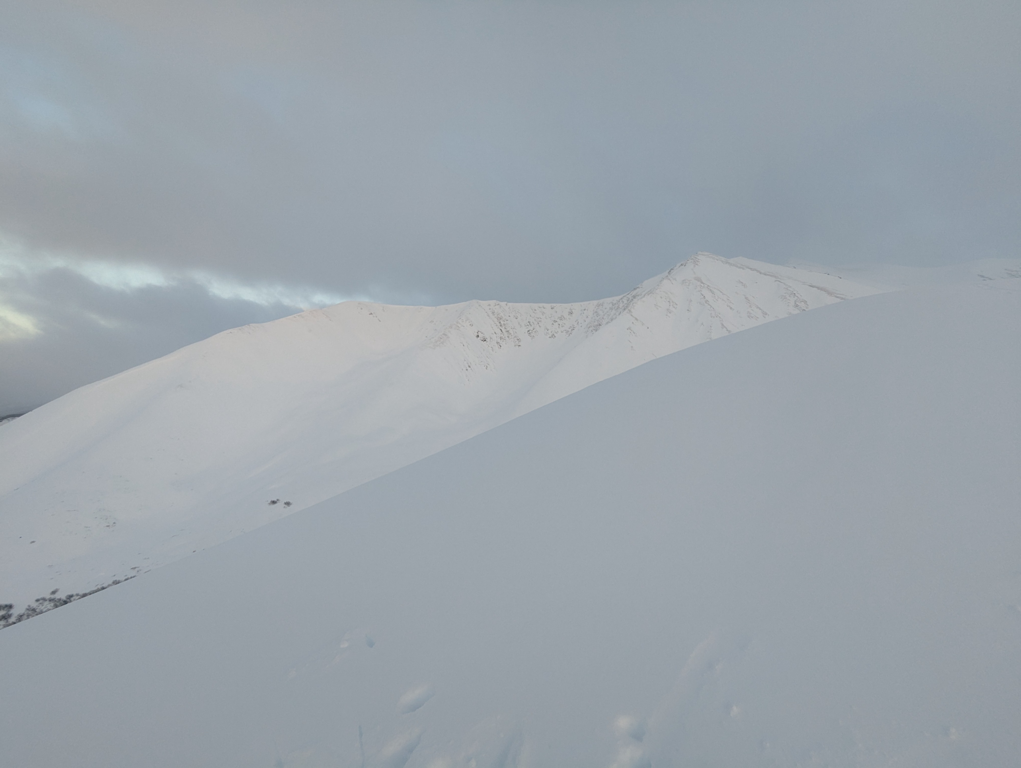
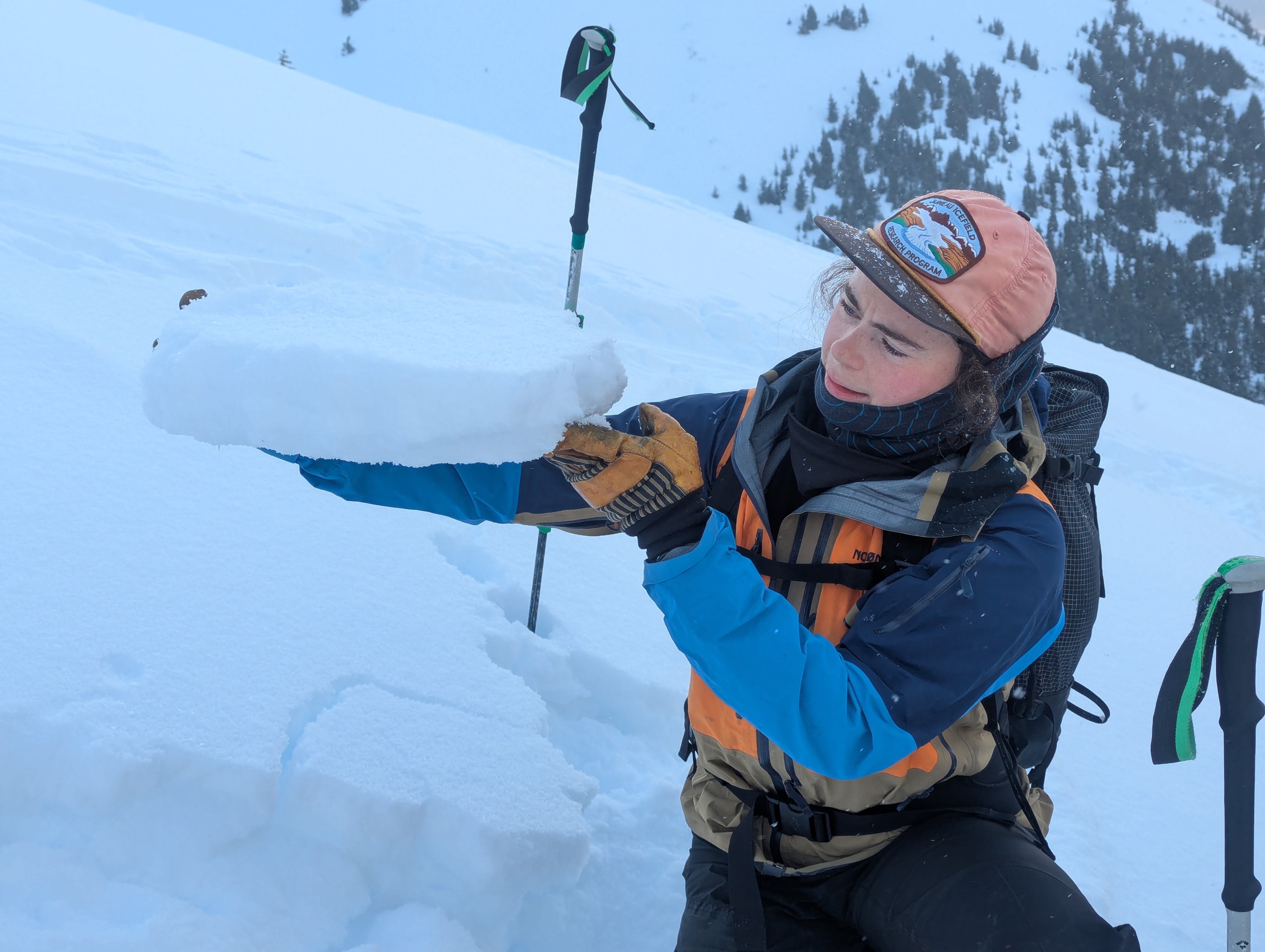
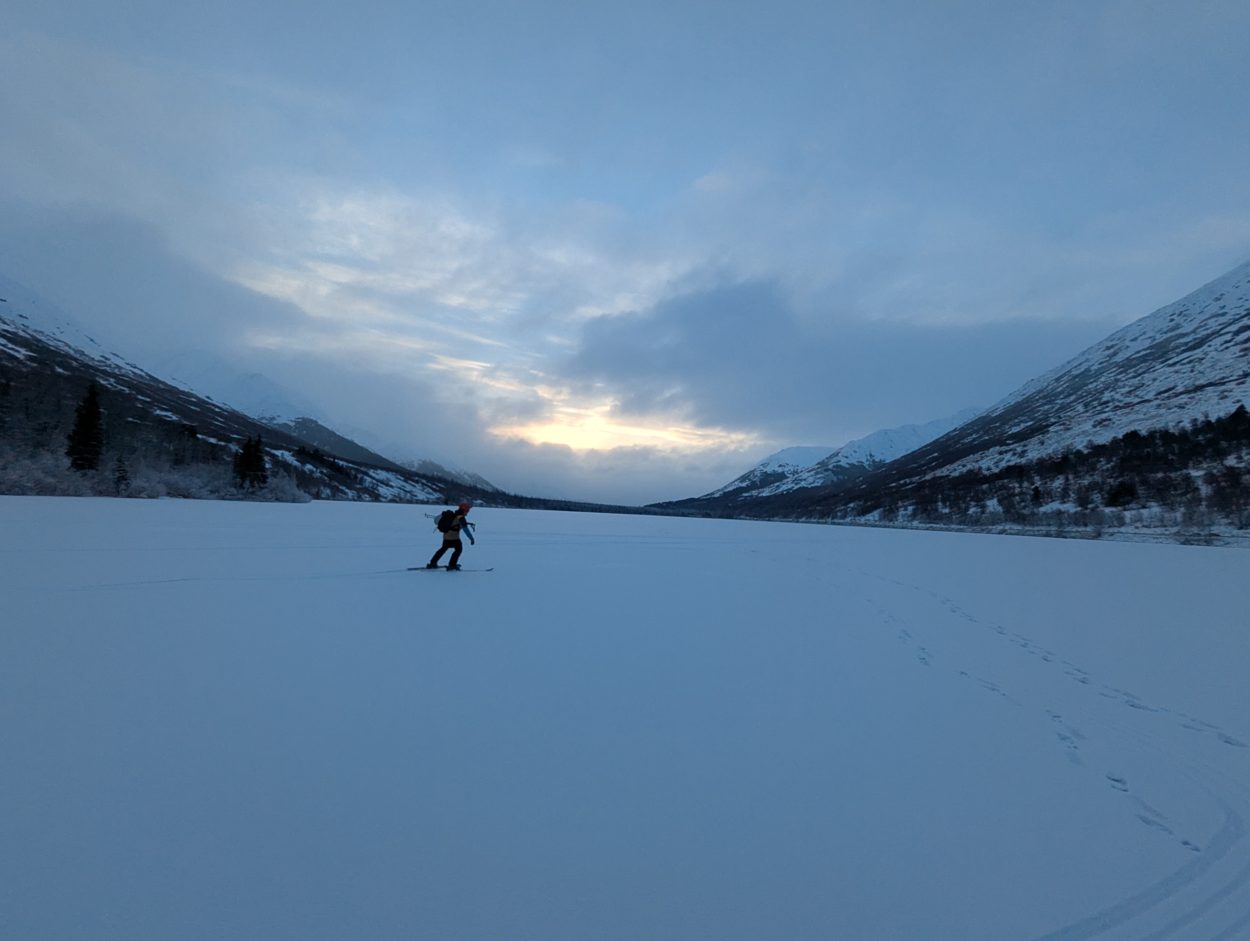
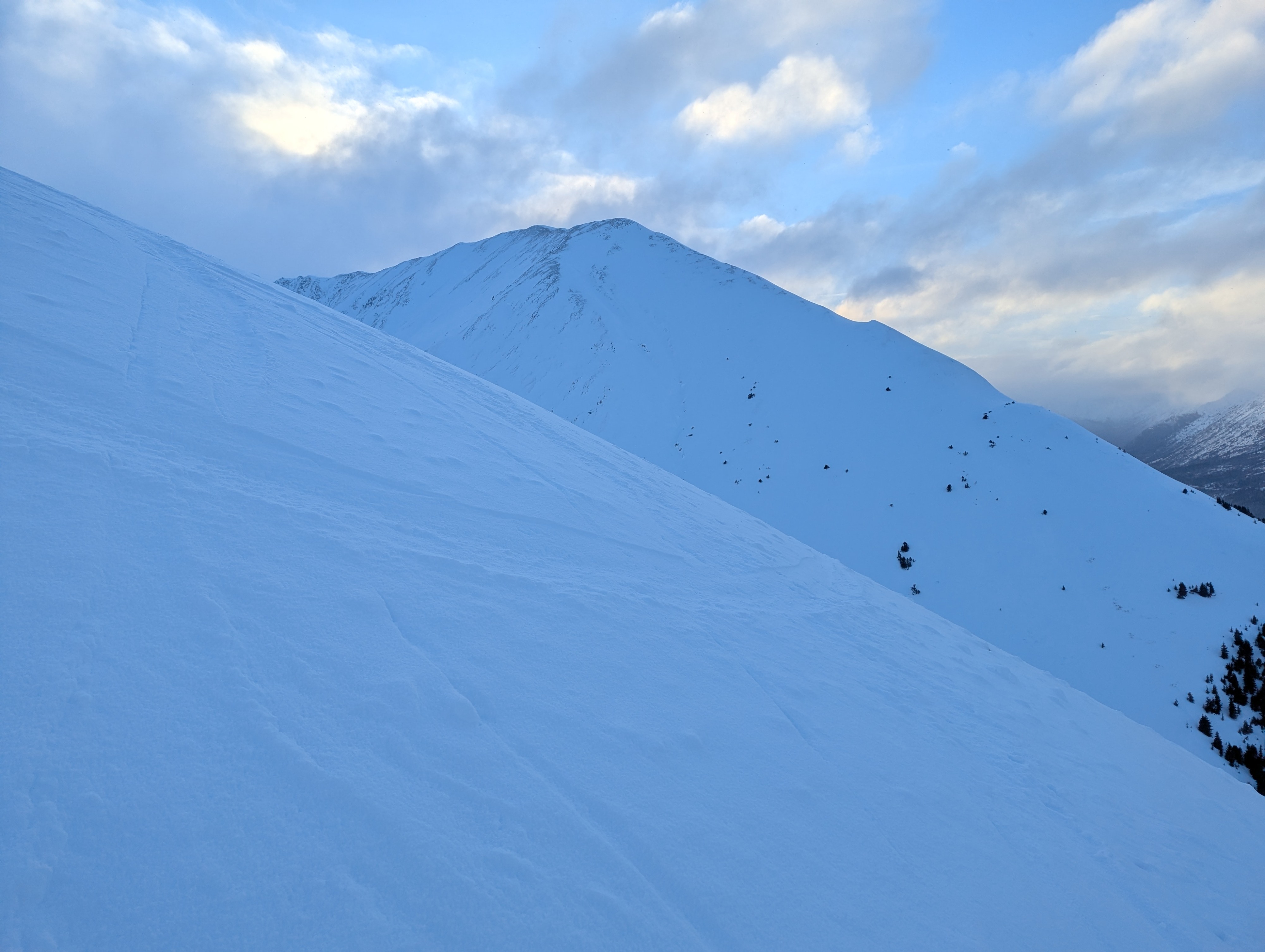
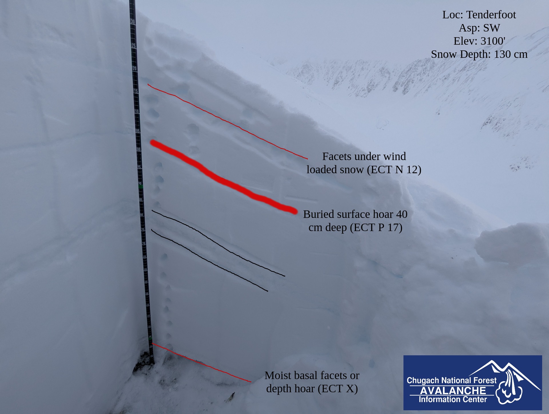
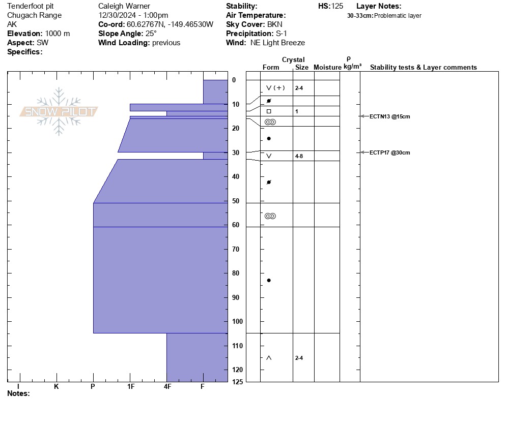
We toured from the Summit Lake parking lot to about 3000 feet along the Tenderfoot ridge to evaluate conditions in the Summit area. We dug a snowpit on a SW aspect just below the ridge. We found propagating test results on a weak layer of buried surface hoar approximately 40cm deep in the snowpack. Due to our findings in our snowpit, we decided to ski a different slope with a lower slope angle.
Old avalanche debris was observed running into the alder off Butch peak.Weather
- Cloud Cover
- broken
- Wind Loading
- light
- Recent Snowfall
- 1-5 cm of recent snow
- Snow Avail For Transport
- small smounts
Skies remained broken with periods of light snowfall and decreasing visibility throughout the day. Winds picked up into the afternoon coming out of the NW.
Snowpack
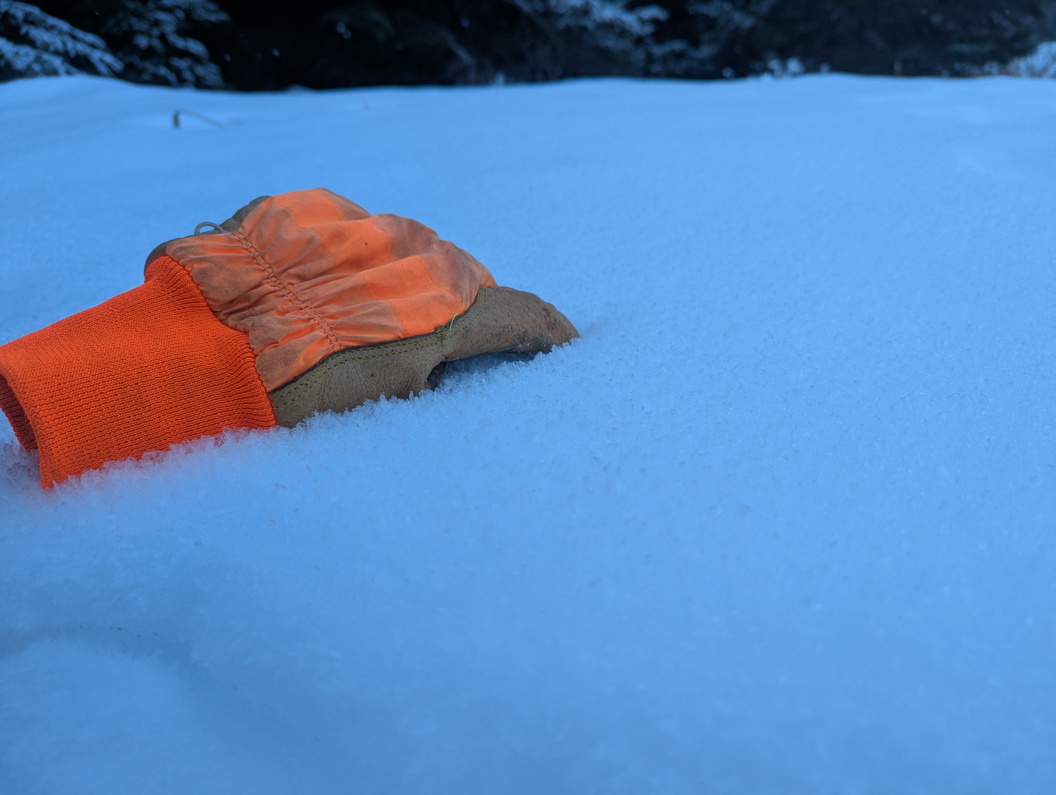
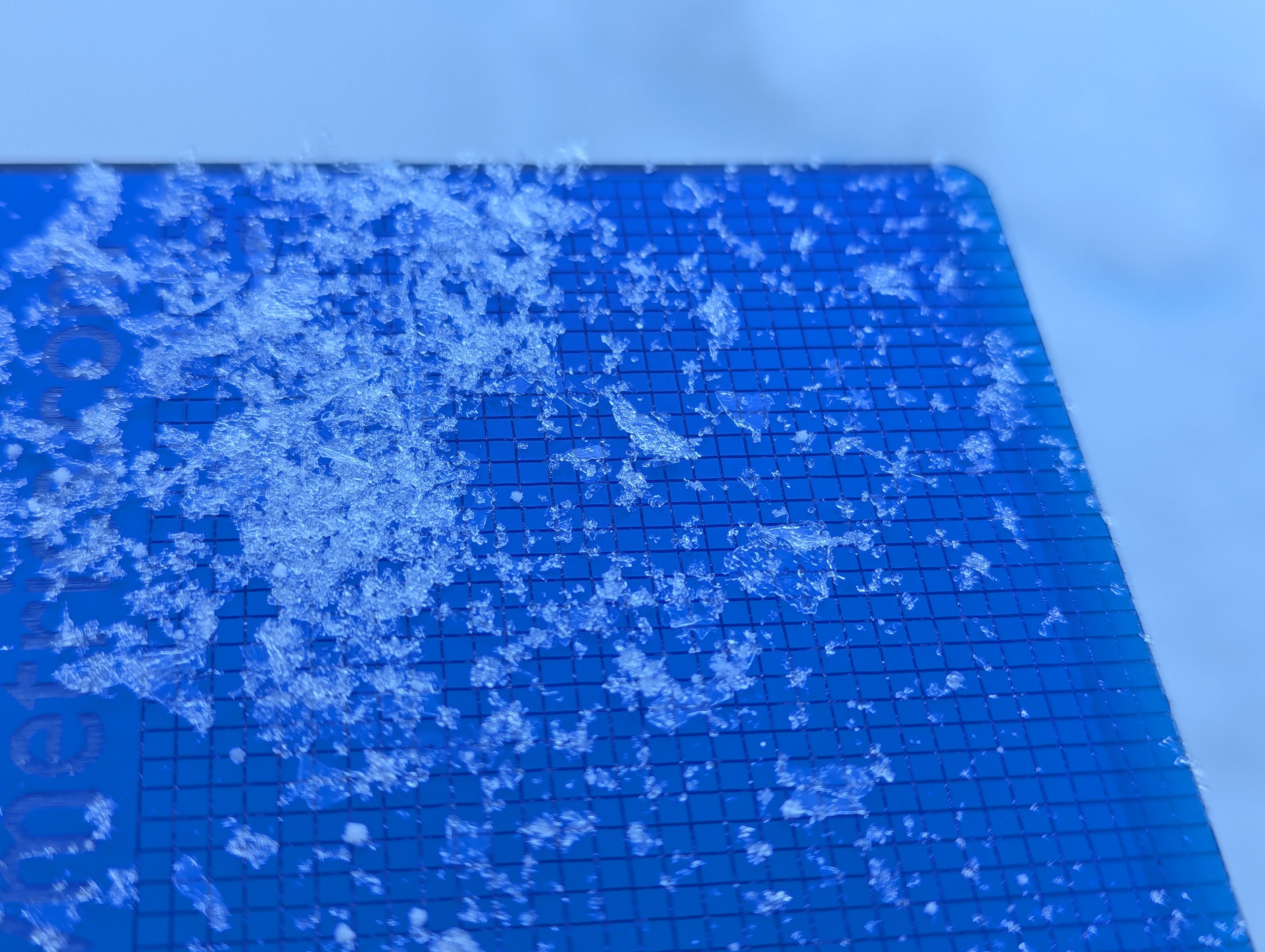
Where we started along the Tenderfoot ridge the snowpack remains thin and creeks are fully exposed. At our high point we found a snowpack depth of 2 meters along a wind loaded ridge and 1.5 m further down from the ridge. A continuous melt-freeze crust exists under 1-4 cm of recent snow up to approximately 2200 feet. Surface hoar covers the dusting of recent snow, which developed after the last few nights of clear weather. At 2200 feet the crust becomes breakable, and fully disappears by 3000'. Along the ridge, we found wind-affected snow. In a snowpit at 3000' on a SW aspect, we found a layer of buried surface hoar approximately 40 cm deep in the snowpack. We also found moist depth hoar at the base of the snowpack. Our extended column test found propagating failure with moderate force on the layer of buried surface hoar at 40cm (ECT P 17).