
Quick report
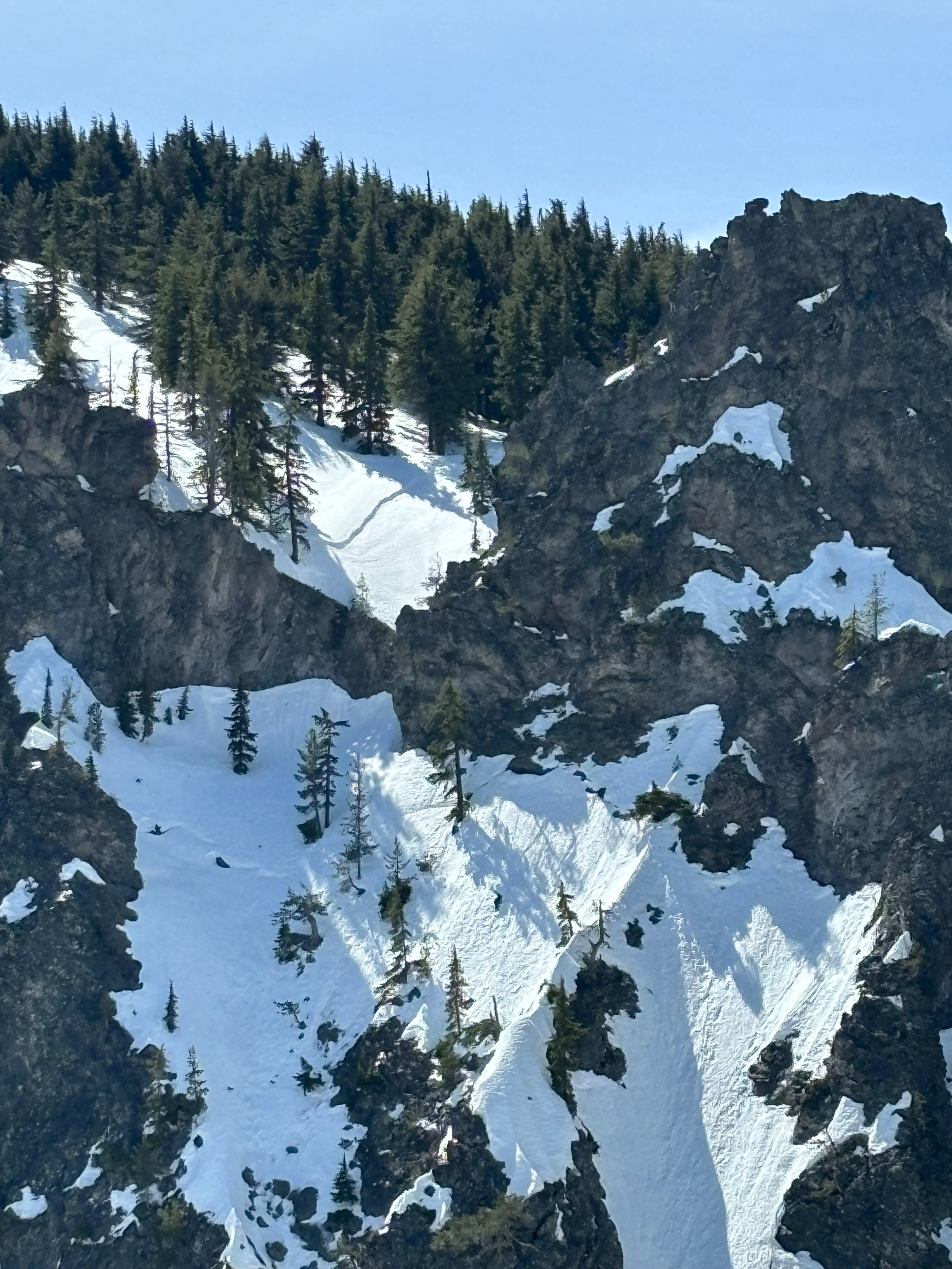
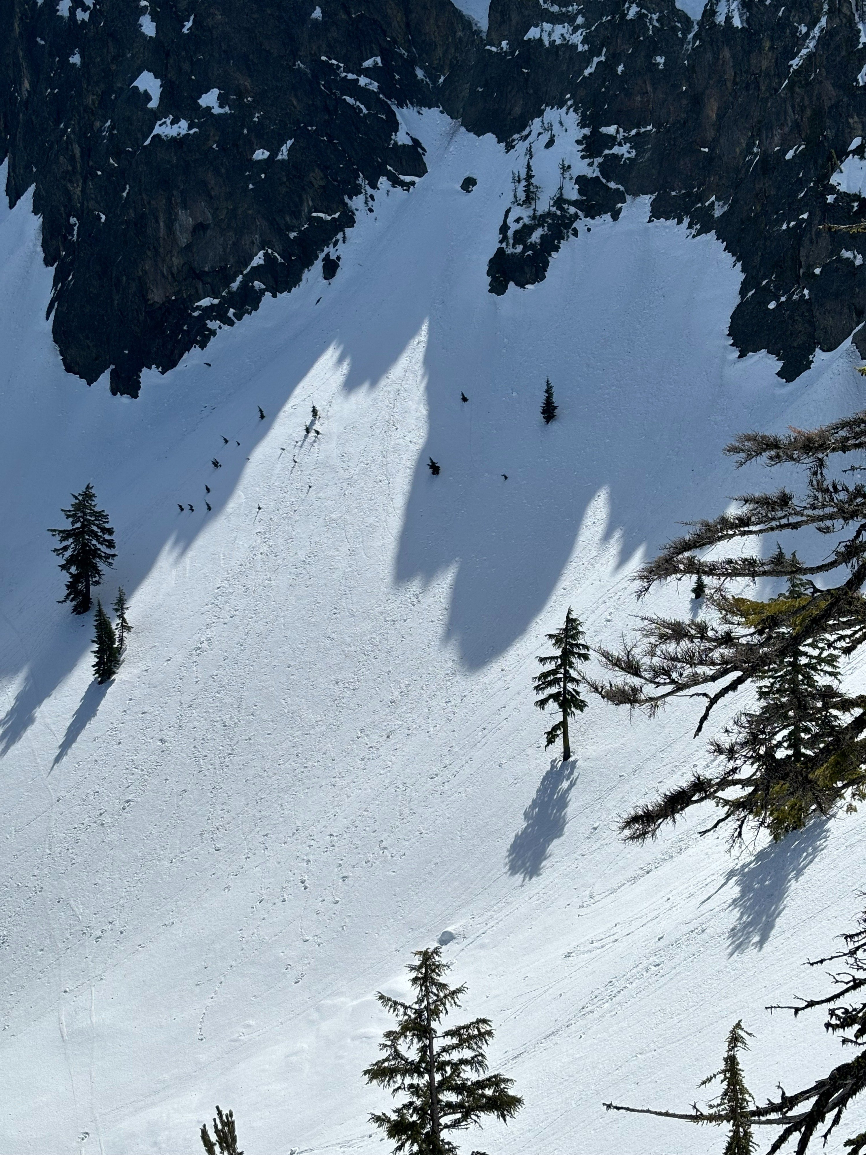
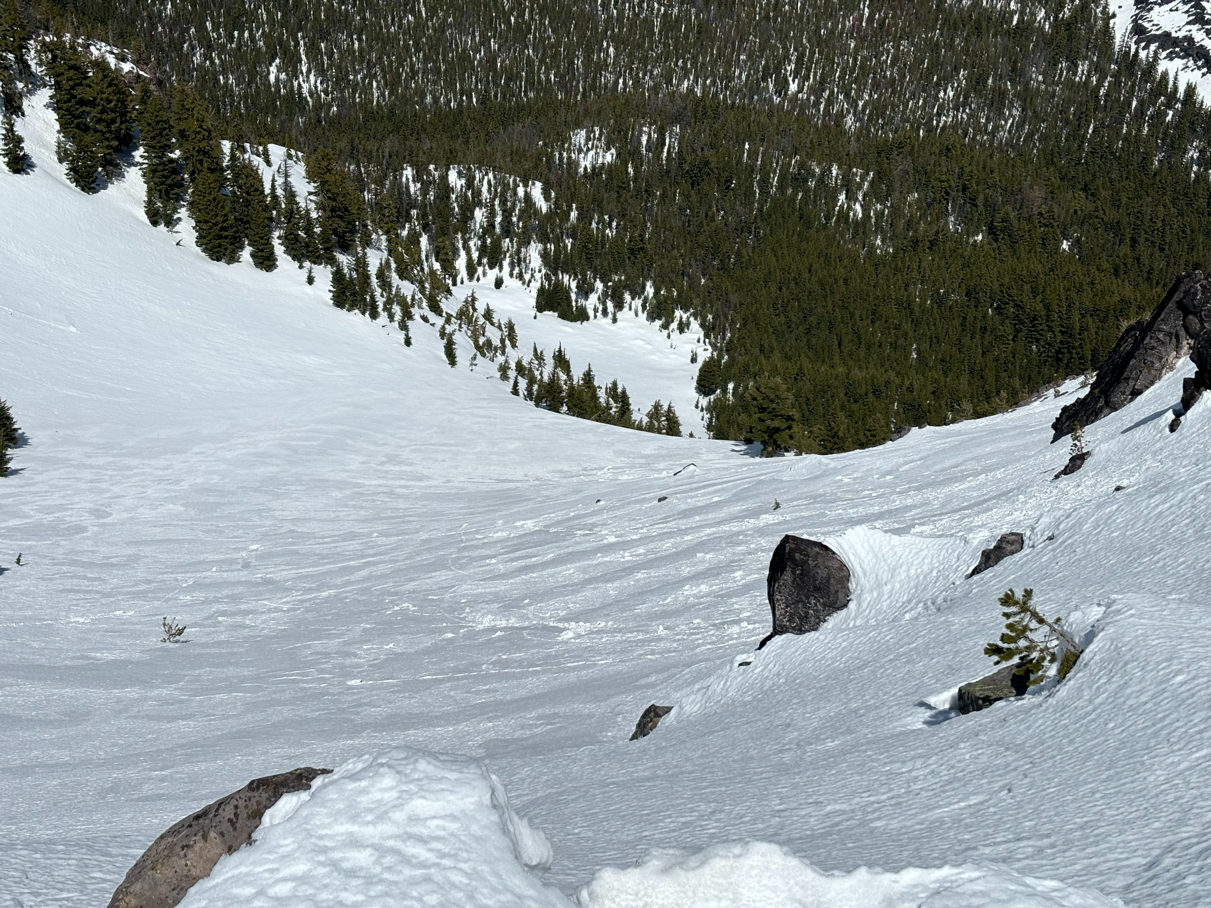
It appears the weekend's rain created a very saturated snowpack, however overnight freezes have laid in a stout crust on the upper snowpack. By late morning through the afternoon on solar aspects the upper few inches of the surface was softened corn snow. Increasing cloud cover and winds into the afternoon kept high elevation north aspects quite firm. I did not observe any wet loose avalanche activity, but there was a peppering of debris on most open slopes (likely a result from the weekend's rain event). I observed one decent-sized crown on a NE facing slope, however this was likely several days old. With a stout, supportable melt-freeze crust and warm sunny weather on the forecast, there should be good corn skiing to be had in the coming days, with caution towards wet-loose avalanche problems later in the day as the temperature gets warmer.
Weather
- Air Temp
- 30
- Cloud Cover
- broken
- Wind Loading
- none
- Snow Avail For Transport
- none
Morning started with mostly clear skies and light winds. By the afternoon cloud cover increased to broken skies (over half of the sky covered with clouds) and moderate winds out of the west, gusting to 29mph.
Snowpack
I found a melt freeze crust on all aspects I toured (mostly North, East and South). Northern aspects above 7500 ft remained firm through the day, with a pencil-dense crust of up to 30cm on top of 4F highly saturated snow. On upper southerly aspects, by 2pm there was 6cm of softened corn snow on top of a 12cm supportable crust. Boot penetration was 10cm on these southern aspects; I did not break through the crust. On high elevation open slopes (7900 ft.), I found an average of 110cm snow depth.