
Quick report
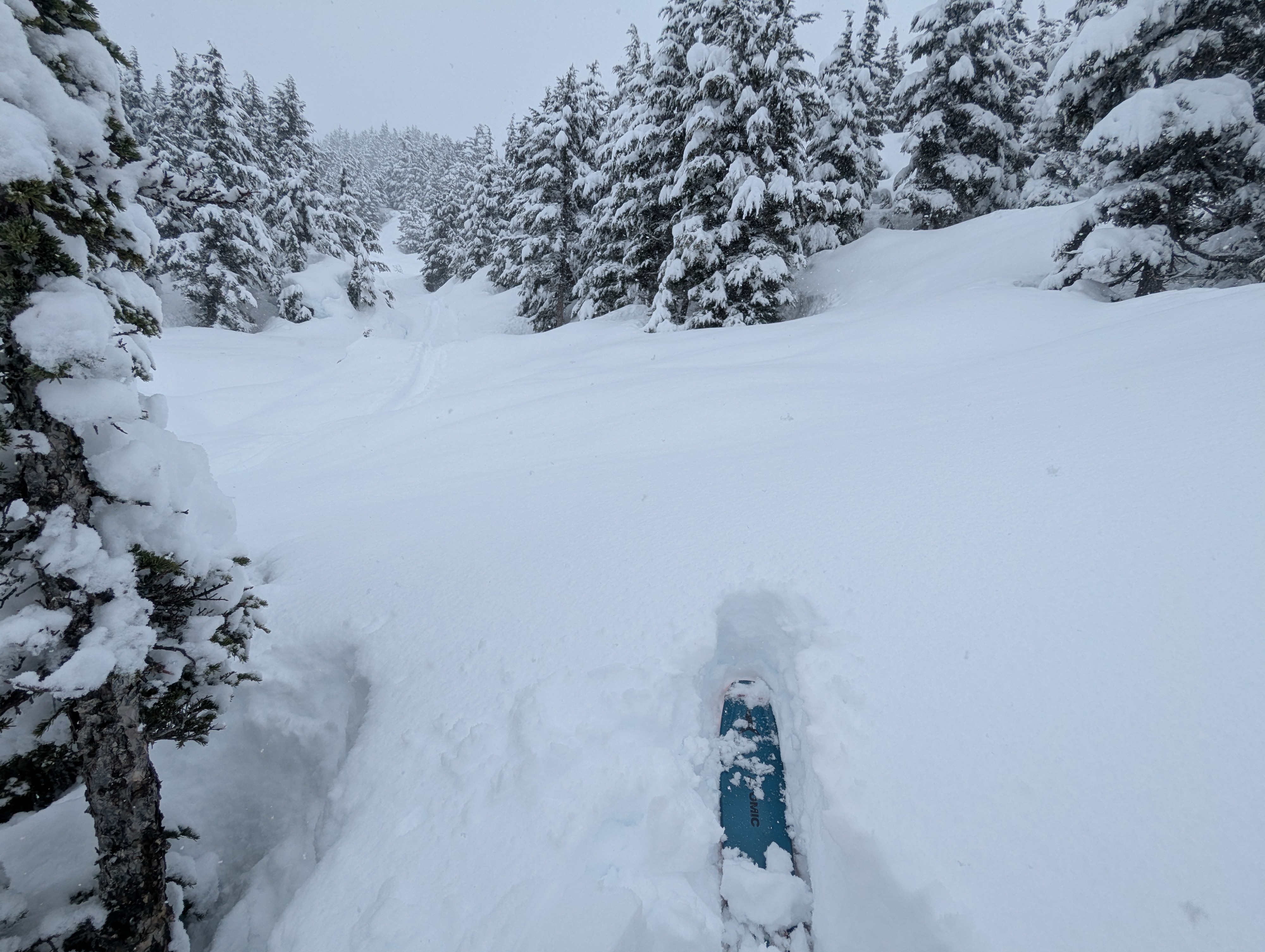
Overall the snowpack is complex right now, with the potential for storm snow avalanches 1 to 2' deep and persistent slab avalanches 3'+ deep. With the recent heavy snowfall, we recommend giving the snowpack some time to adjust and sticking to low angle terrain away from runout zones of overhead avalanche paths. Even though we are shifting to the spring mindset and waiting for the shed cycle to come, it was very fun to ski a deep powder day on Tincan after experiencing tropical conditions there last week. Winter doesn't want to let go yet.
We didn't see any red flags, but the new snow was a little upside down (heavier on top) and seemed like it would easily slide off steeper slopes with the weight of a skier.Weather
- Air Temp
- 30
- Cloud Cover
- obscured
- Wind Loading
- none
- Rain Elevation
- 0'
- Recent Snowfall
- 45 cm
- Snow Avail For Transport
- large amounts
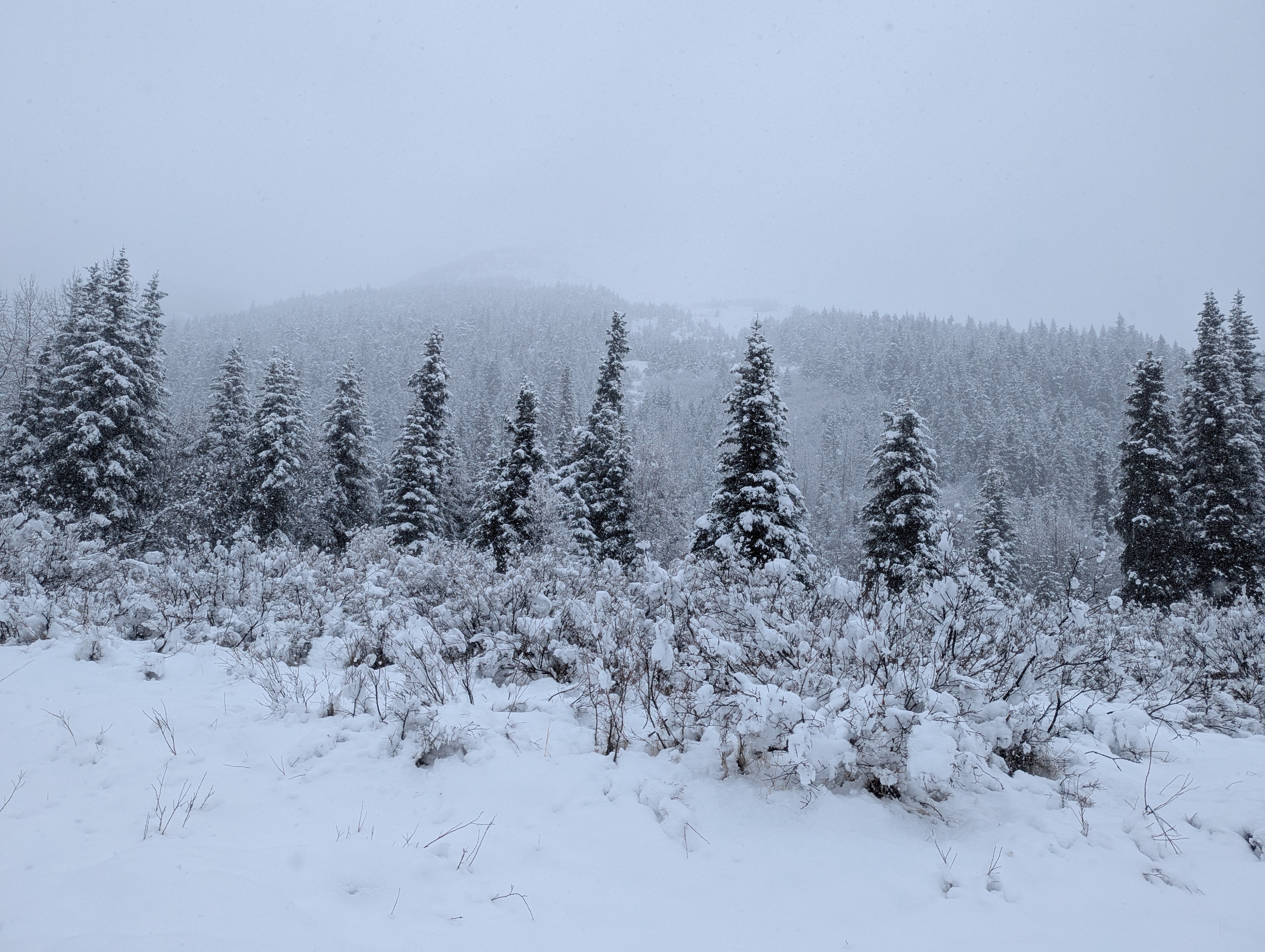
Obscured clouds down to sea level with moderate to heavy snowfall. Further south in Turnagain Pass near the Johnson Pass north trailhead the snow was light and there was only 3-4" on the ground at the road elevation.
Snowpack
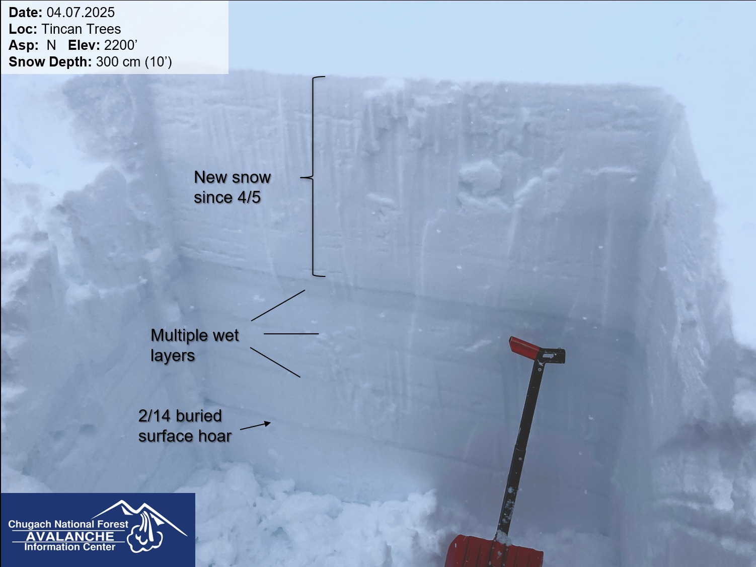
We dug one pit at 2200' on a NE aspect. The total snowpack depth was 300 cm (almost 10'). The upper 2' of the snowpack was all soft new snow from the past few days. In our extended column test we had failures on these storm layers (ECT N 3 down 35 cm, ECT N 14 down 60 cm) but they did not propagate across the column. We also had failures that did not propagate in some of the wet snow layers where meltwater was pooling during the recent warm spell about 80 cm deep (2.5'). We found the Valentine's Day buried surface hoar down 110cm (3.5') standing upright with grain sizes ranging from 4-6 mm. This layer failed and collapsed dramatically with 2 hard taps beyond the normal range of the ECT test (ECT P 32).