
Quick report
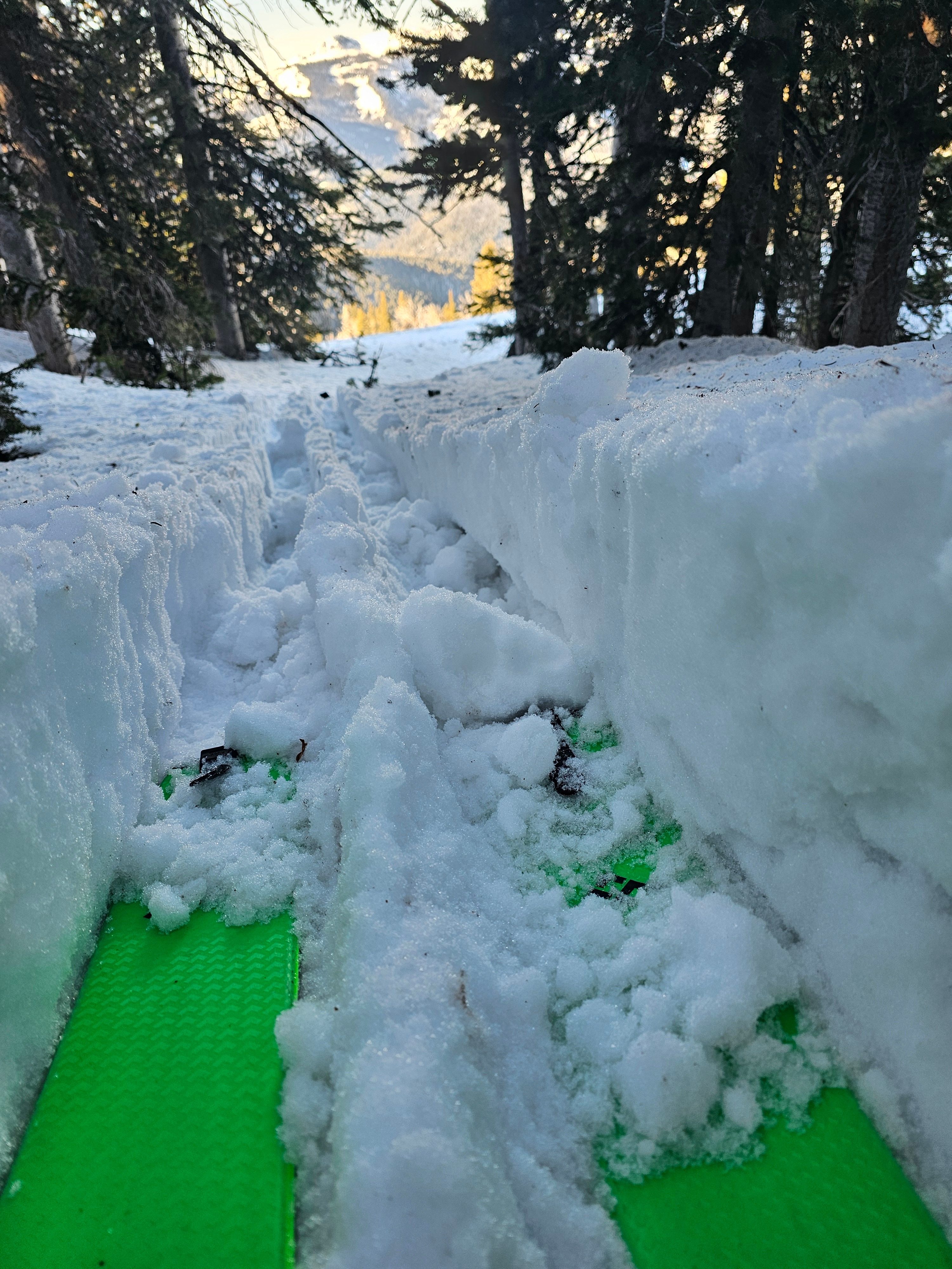
The snowpack has experienced a lot of heat and melting in the last couple of days. Snow surfaces had a superficial refreeze, but still had moist to wet snow a couple of inches below the surface. By noon, east, south, and southwest slopes had become wet and punchy.
Although temperatures have remained above freezing at night and hot during the day, there has been some radiative refreeze at night, and winds have helped cool surfaces. I suspect this is why we have not seen more wet slab activity, but we are not out of the weeds yet, and I do not trust a snowpack with this much water in it until it gets a solid refreeze and can transition into a spring snowpack. Where things have been slightly calmer and warmer to the south, there were reports of wet slabs yesterday.
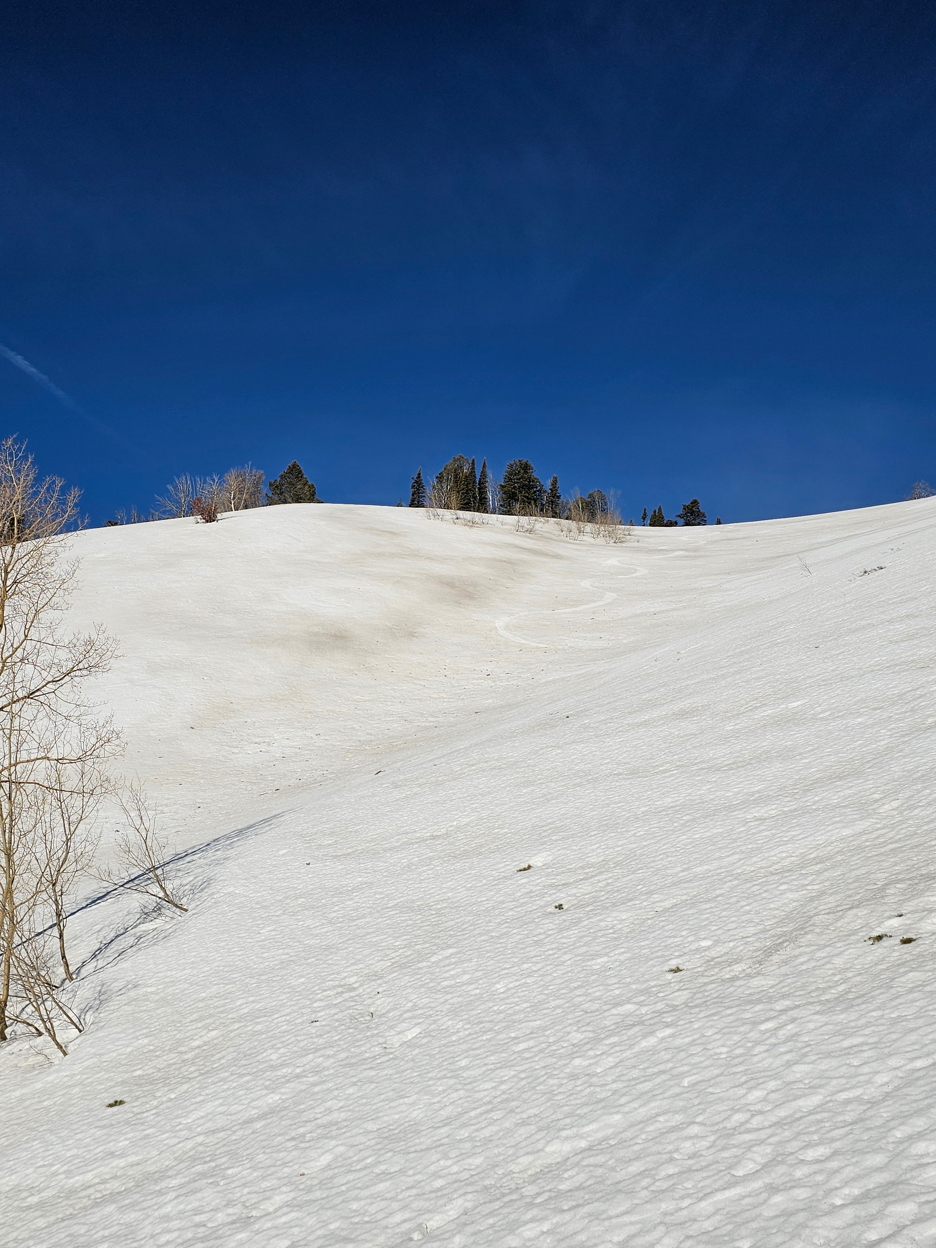
Where you can find smooth snow with minimal dust, good turns exist for a short period of time. Soon after, surfaces become punchy, sticky, and wet.
Snow on E-S-W aspects was becoming punch a couple hours after the sun started to hit.Weather
- Air Temp
- 40s
- Cloud Cover
- few
- Wind Loading
- none
- Snow Avail For Transport
- none
The high pressure ridge of doom was in full effect with strong sunshine and warm temperatures. There were light and moderate winds blowing from the west and southwest, but snow surfaces were still warming signicantly.
Snowpack
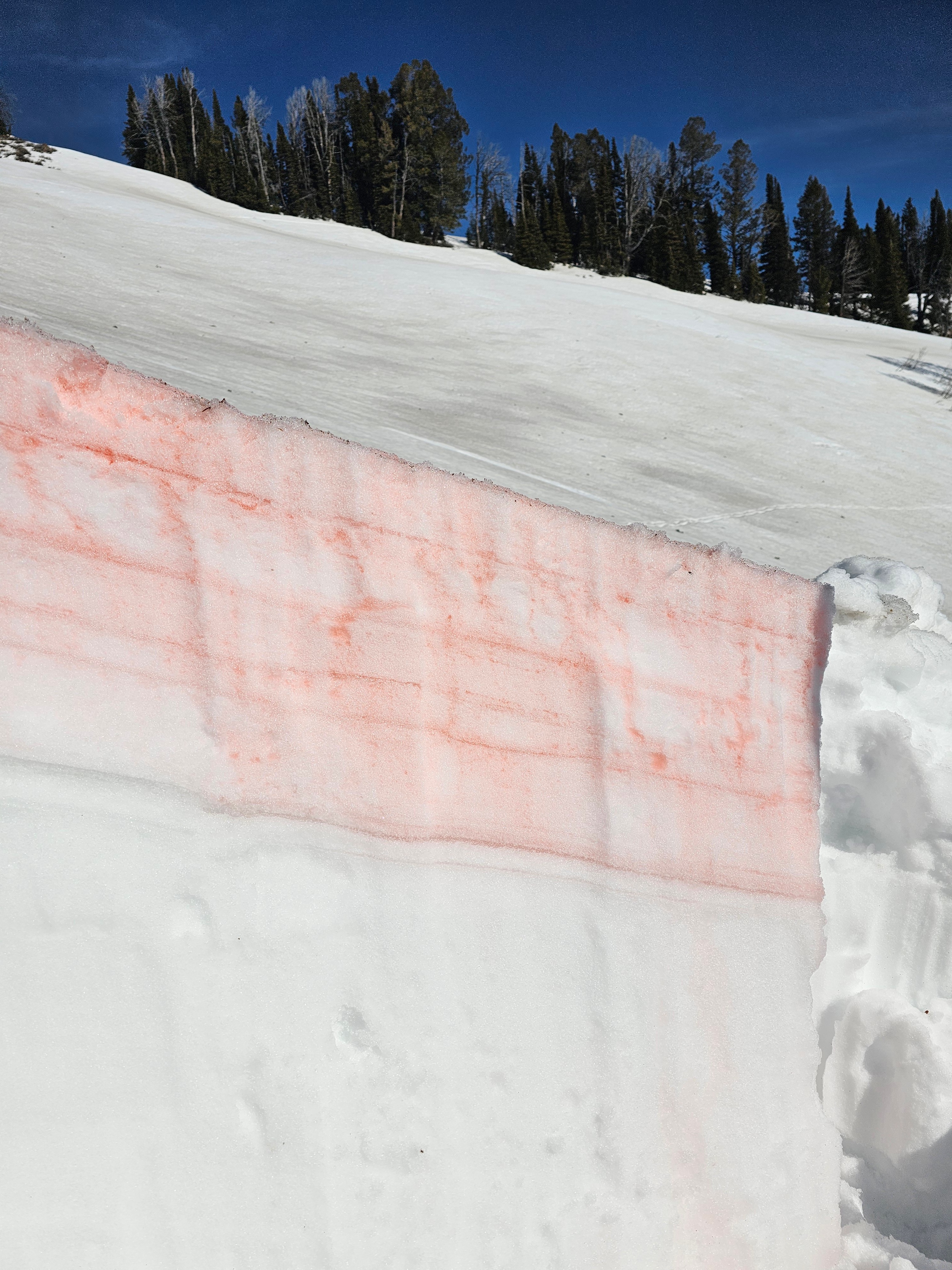
I dug on an E aspect at 8,600' to see how much water was moving in the snowpack. Sure enough there was moisture in the top 5 feet of the snowpack, with signicant pooling on a layer that was about 50cm down. As you may expect, traditional stability tests did not yield any results. Until we get a solid refreeze the effects below the top 4 inches wet snow avalanches will remain of concern.
Avalanche
- Size
- D1 R1
- Type
- WL
- Aspect
- E
- Trigger
- N
- Elevation
- 8400 ft
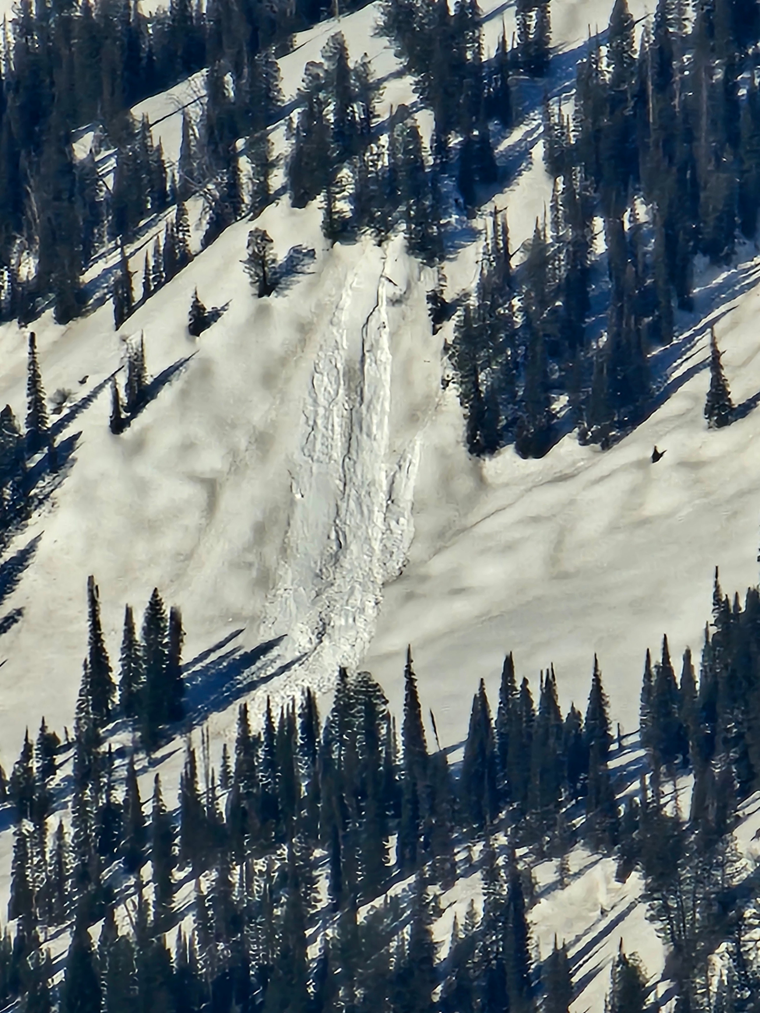
Natural wet loose avalanche on south of Mosquito Creek at middle elevations.