
Quick report
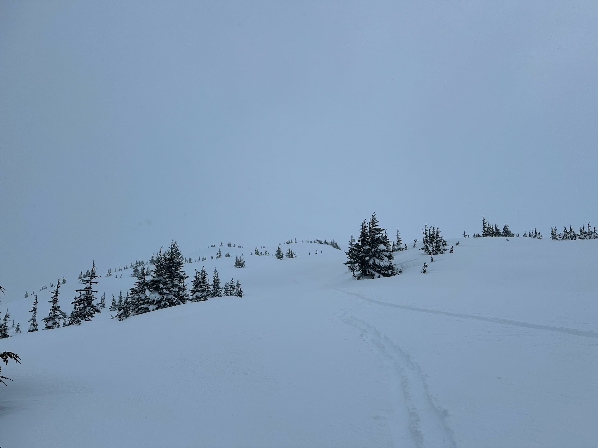
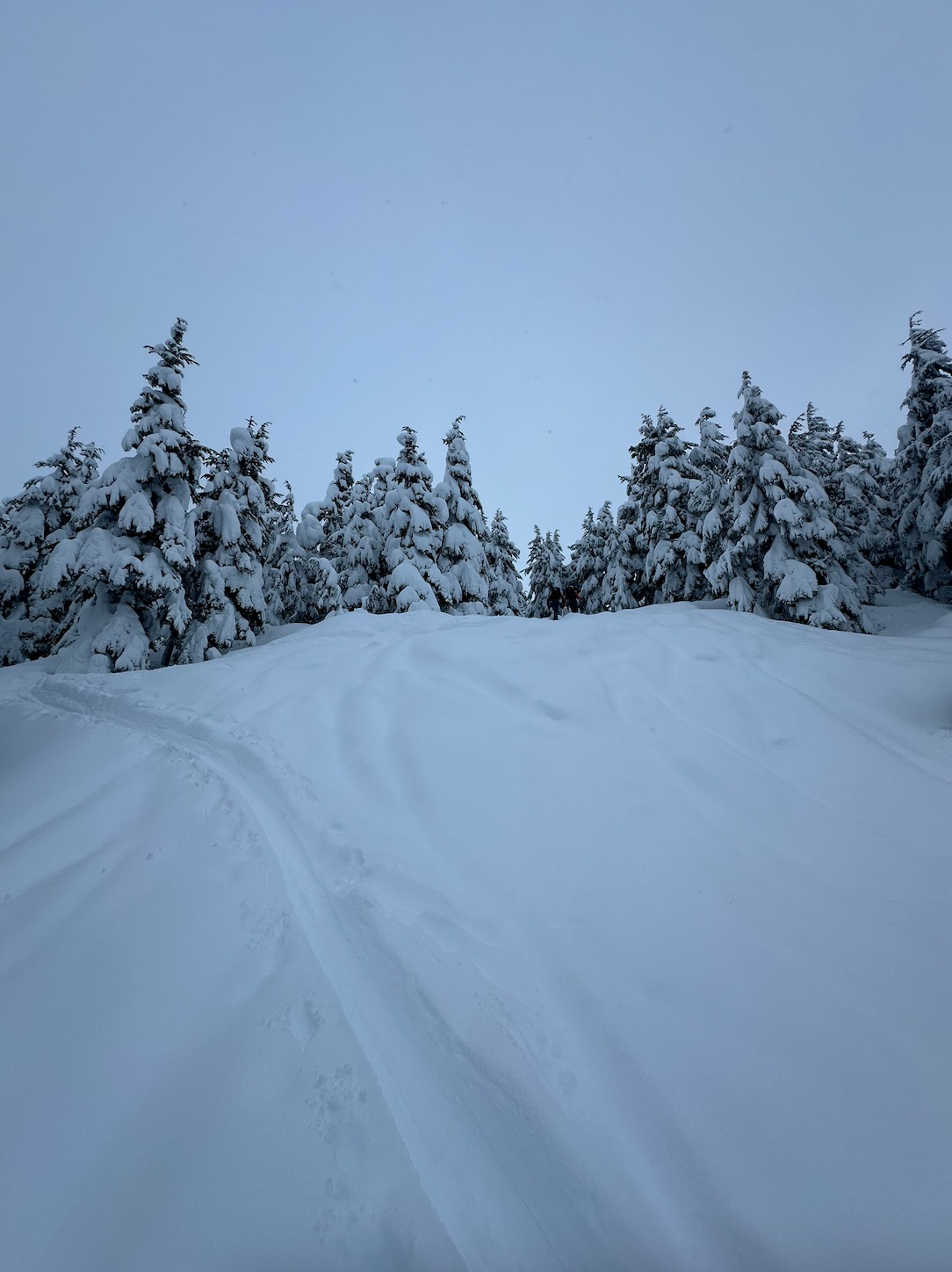
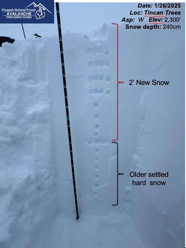
Over the past two days, the lower elevations have received 18 inches of moist, dense new snow that becomes dry and 2 feet deep at mid-elevations. We did not observe signs of instability while traveling, and our snowpit did not produce any concerning test results, which are good signs looking ahead. We did not venture into the alpine but wind slabs were likely forming as the snow intensity and winds picked up in the afternoon. With such poor visibility it is unknown any extent of recent natural avalanches, especially in the alpine. We found good quality skiing and soft snow in wind-sheltered terrain.
Weather
- Cloud Cover
- overcast
- Rain Elevation
- 900
Rain turned to snow at about 900' while driving up this morning. Skies were overcast it was snowing lightly in the morning but became obscured around midday as winds and snowfall intensified. On our way home the snow line dropped to 200 feet above sea level, turning into mixed-winter precipitation along the Turnigan Arm.
Snowpack
At mid-elevations, we found 2 feet of dense new snow that has fallen during the recent storm, over the past two days. We dug a snowpit at our high point of 2300 feet and did not find any concerning results. The new storm snow appears right-side-up and is bonding well to the old snow surface. At treeline we observed the snow becoming harder on the surface, formed by the strong winds that have been blowing snow around in unsheltered and alpine terrain. In wind-sheltered terrain, we found soft snow and good-quality skiing.