
Quick report
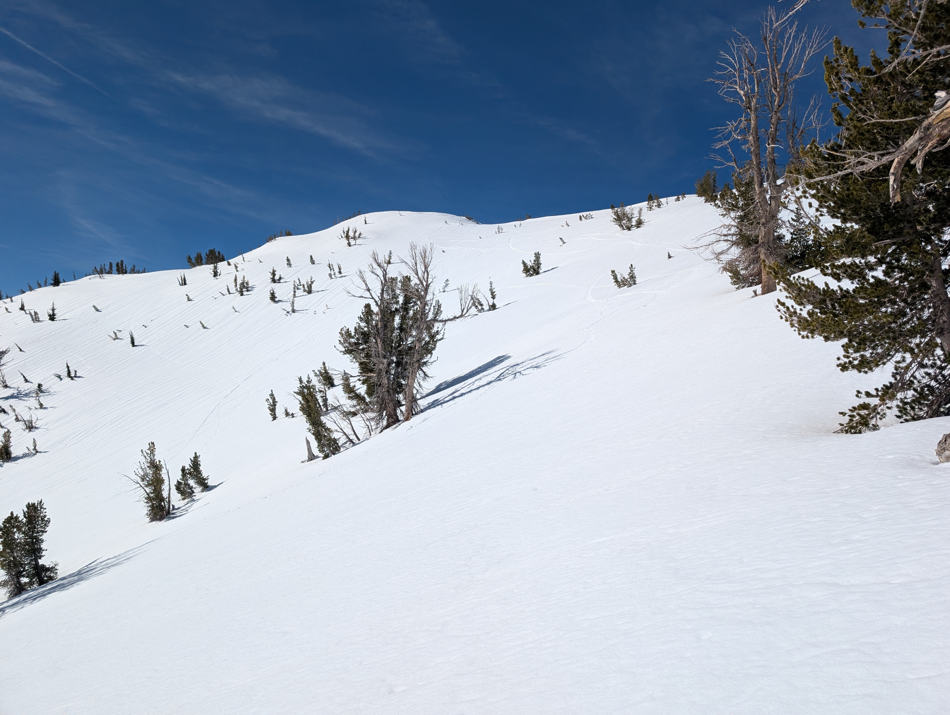
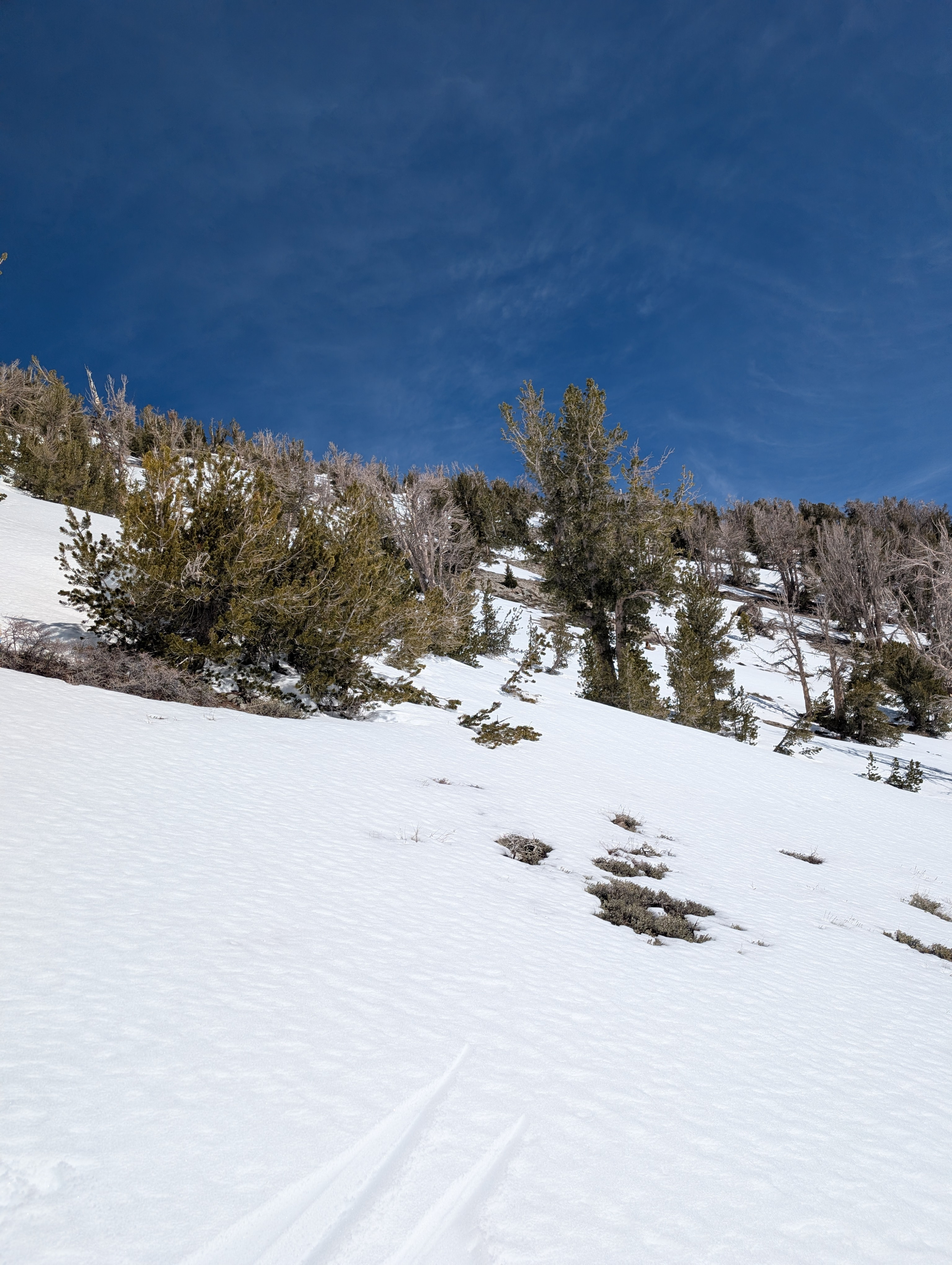
On the drive to Relay Peak, we could see large patches of bare ground on the south aspects of Rose Knob and Incline Lake Peak. These look similar to how they looked before the storm at the end of February. East and northerly aspects still have good coverage, as do some of the higher elevation south aspects. We felt firm crust snow under our skis this morning in open areas where heat could escape from the snow into the clear sky last night (refreezing driven by radiational cooling), but wet snow remained on the surface in tree-covered areas where trees blocked that radiational cooling. These firm surfaces quickly started to soften as soon as the sun hit them, and 1-2 inches of soft wet snow existed on the surface of E-SE-S aspects by 10 am. By 11:00 the wet surface snow measured 3 inches in depth. Those sunny slopes remained supportable until at least noon, but I would expect them to have deeper wet snow later this afternoon based on the rate at which they were warming up.
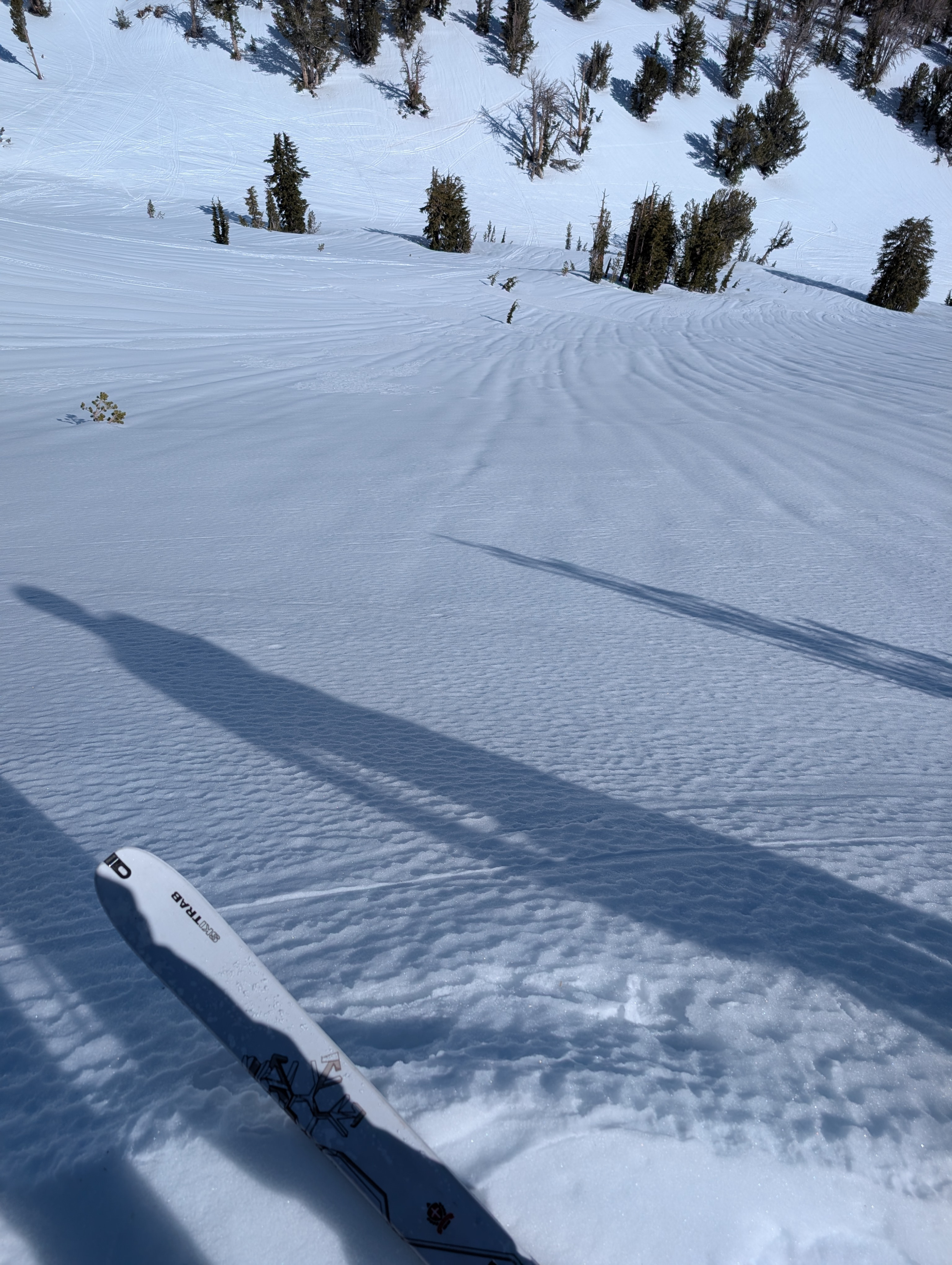
The melt-freeze cycles have smoothed out the SE-S aspects in this area. The E aspects still have some uneven surfaces and rain runnels, but they are also starting to get smoother. Northerly aspects remain uneven with numerous rain runnels and bumpy surfaces. They also stayed firm and frozen throughout our tour.
Weather
- Air Temp
- 45 °F
- Cloud Cover
- clear
Warm weather, sun, and little to no wind made it fell more like late April than early March.
Snowpack
We dug into the snowpack and found wet snow below the melt-freeze crust. Snowpit observations showed good bonding and good drainage through the snowpack. Snowpit tests did not produce unstable results (ECTX, CTN).