

Quick report
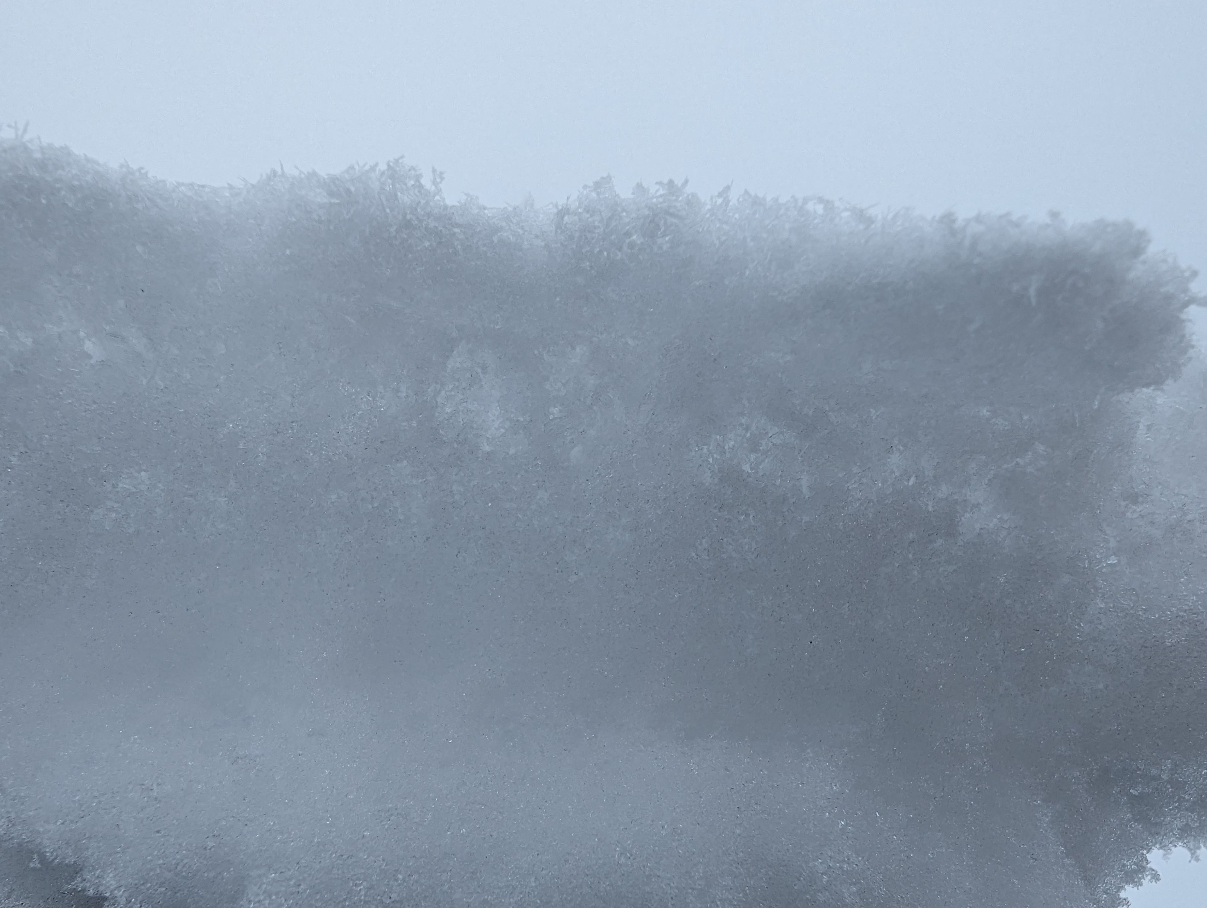
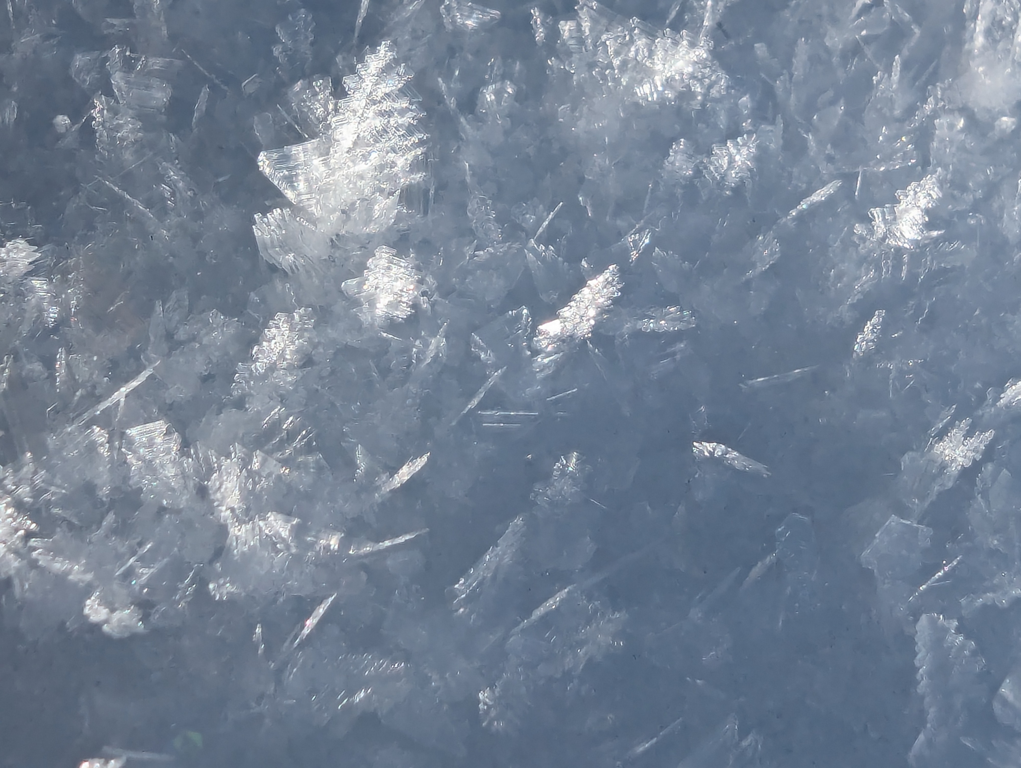
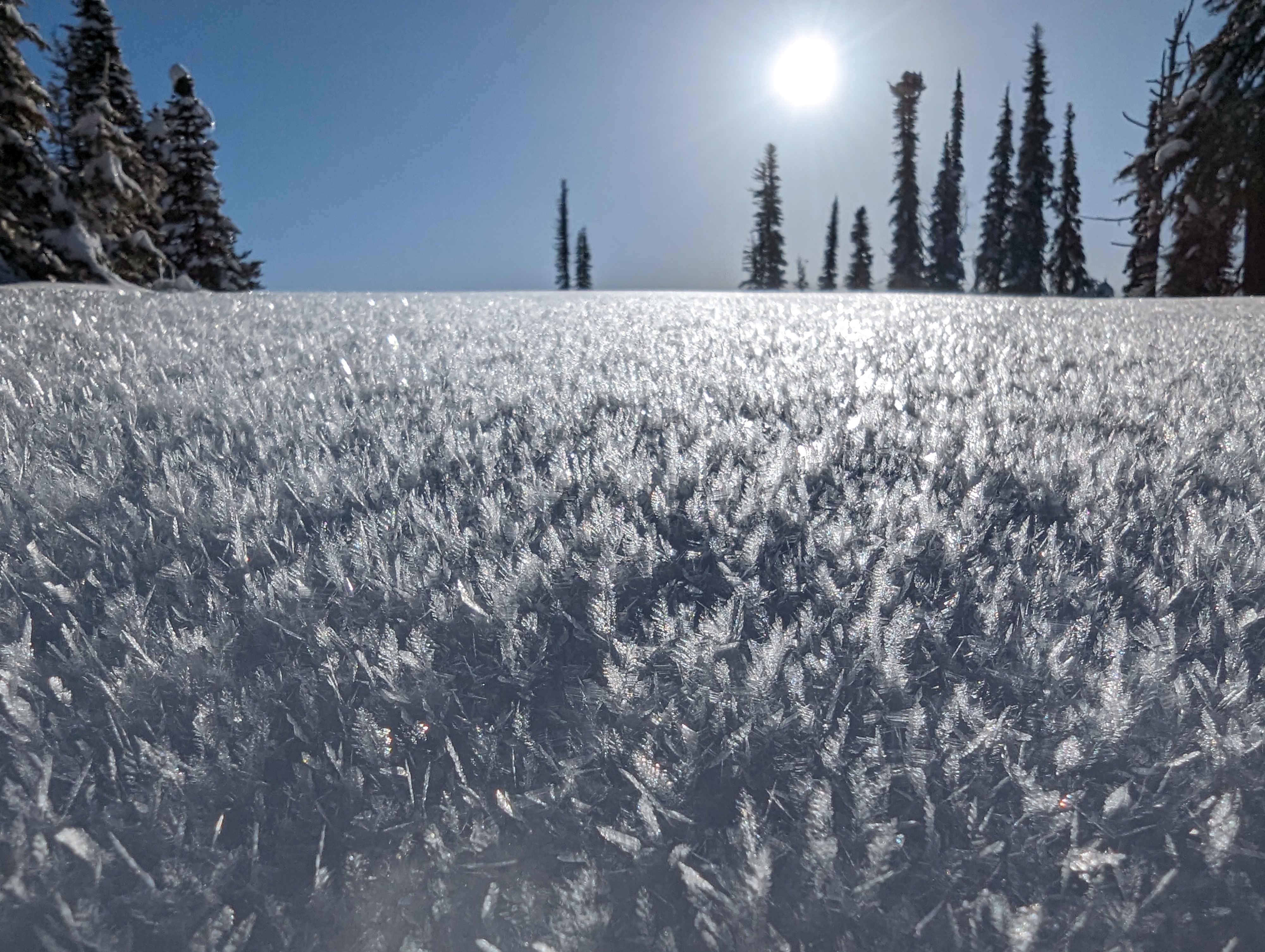
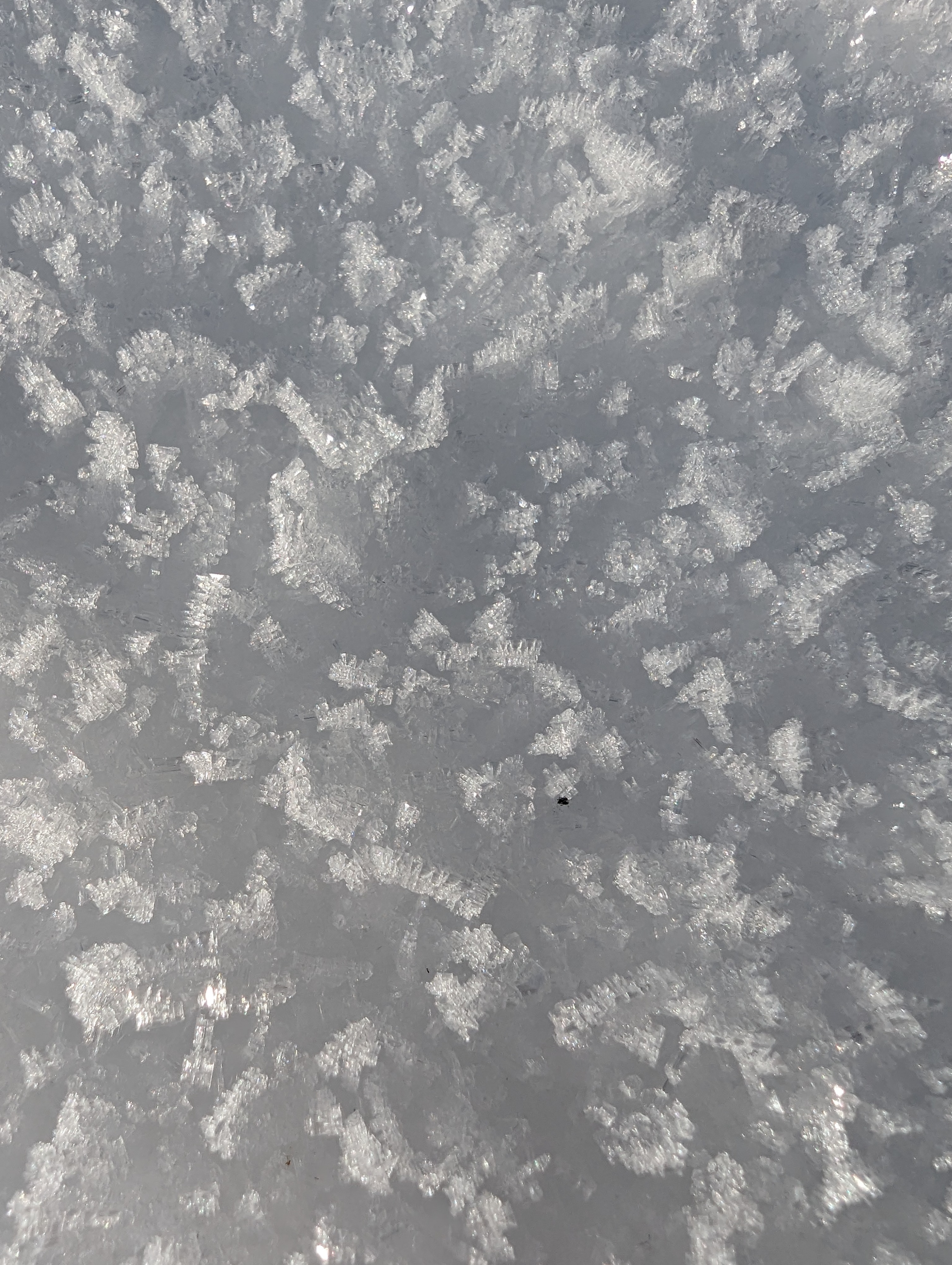
The recent hoar frost formation, small amounts of precipitation, and sun exposure have created a problematic weak layer that could potentially become a hazard with the predicted snowfall this upcoming week. On 20240222, I observed some graupel accumulation at Brundage at 6000-7500ft. On 20240223, I observed 2cm hoar frost growth on all aspects 6500ft-7500ft. On 20240224, I observed that the hoar frost had become rimed up with the overnight fog. On the morning of 20240225, I observed that roughly 0.5cm of lightly wind blown new precipitation has deposited on top of the rimed up hoar frost on E-SE-S aspects around 7500ft. Additionally, on Sun exposed slopes, a sun crust had formed just below the hoar frost layer. It will be interesting to see how the wind affects this layer during the next storm. It may blow strong enough to destroy this layer on windward slopes. On lee slopes, a wind slab may form on top of this weak layer, creating a potentially touchy snowpack.