
Quick report
Cold, soft snow still lingered on most northerly aspects and a few upper-elevation east aspects on Rubicon Peak this morning. As the day warmed, the snow surface warmed as well, leaving moist, heavy snow in spots by afternoon. Lower elevation sunny areas and places near tree drippings warmed the most.
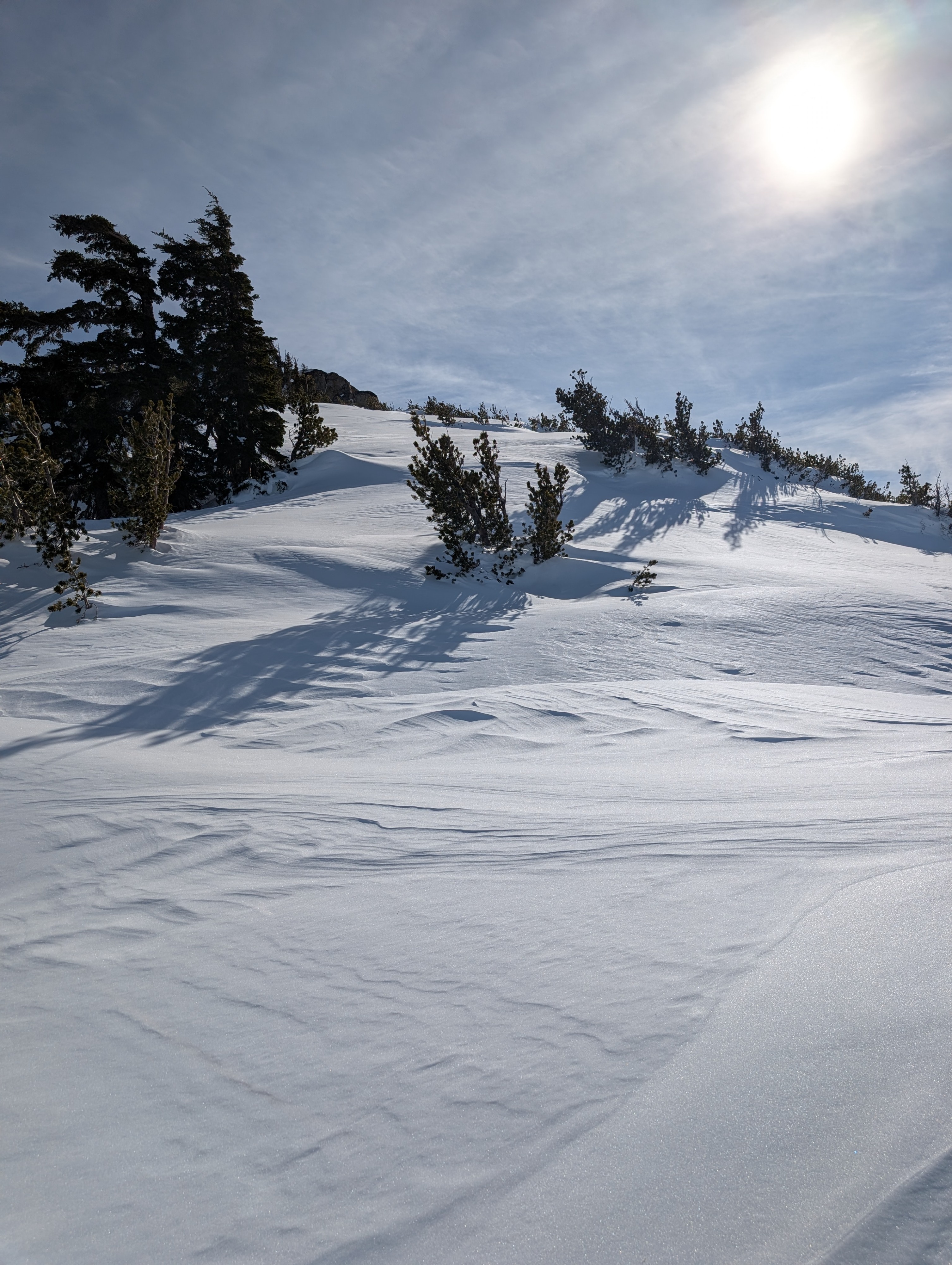
At higher elevations, wind-affected snow remains widespread, with a variety of surface types, including wind-packed snow, uneven wind-sculpted snow, and rippled surfaces.
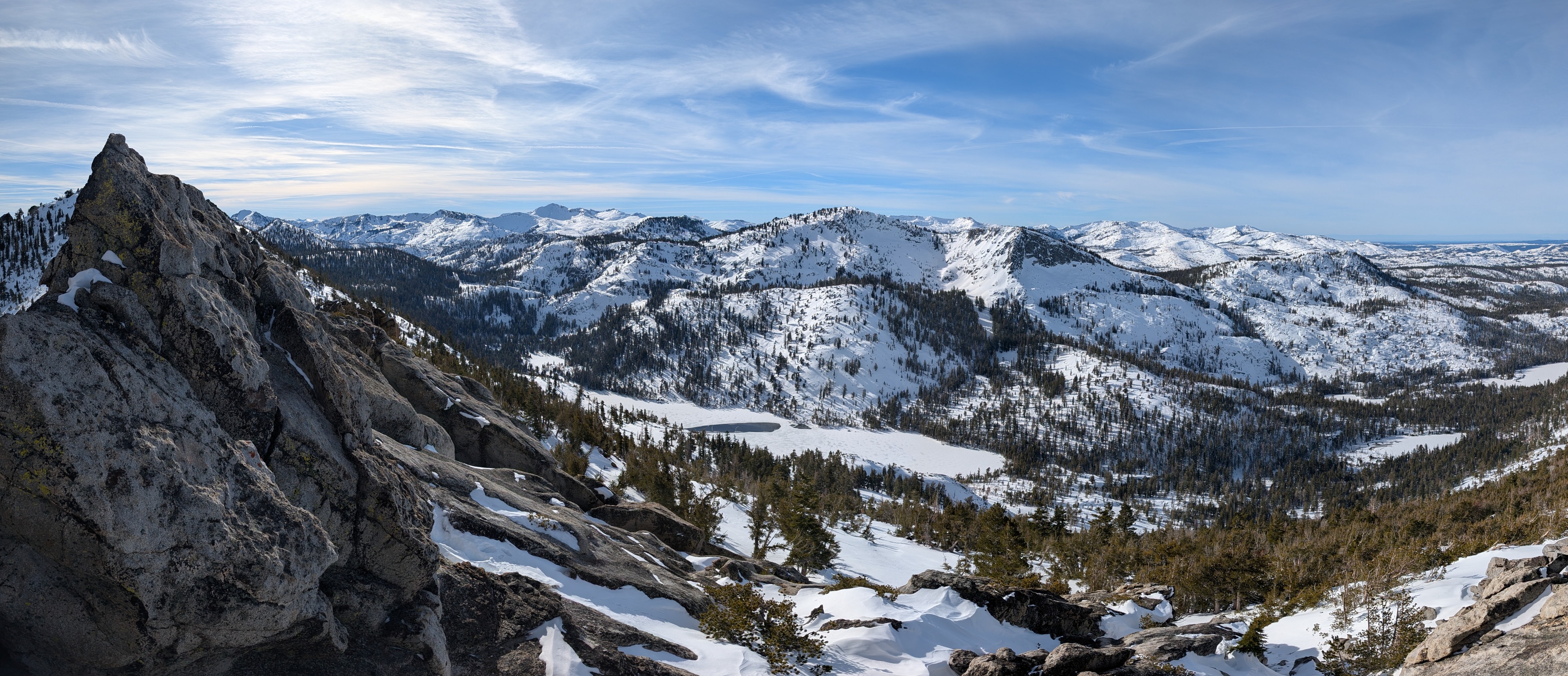
Looking out into Desolation Wilderness, we did not see any new avalanches. We also did not encounter signs of currently unstable snow during our tour. We did find some interesting layers in the snowpack that bear watching (see snowpit section).
Weather
- Air Temp
- 41
- Cloud Cover
- few
- Wind Loading
- none
- Snow Avail For Transport
- small smounts
Snowpack
The recent storm snow continues to consolidate and settle. It sits on top of a rain crust and old snow that was previously wet. We observed a thin layer of weaker snow (facets) near the rain crust in our snow pit. Some tests did not produce unstable results on this layer (ECTN), but others indicated that if this layer were to somehow break, the fracture might propagate along it (PST 45/100 END, DT 22 SC).