
Quick report
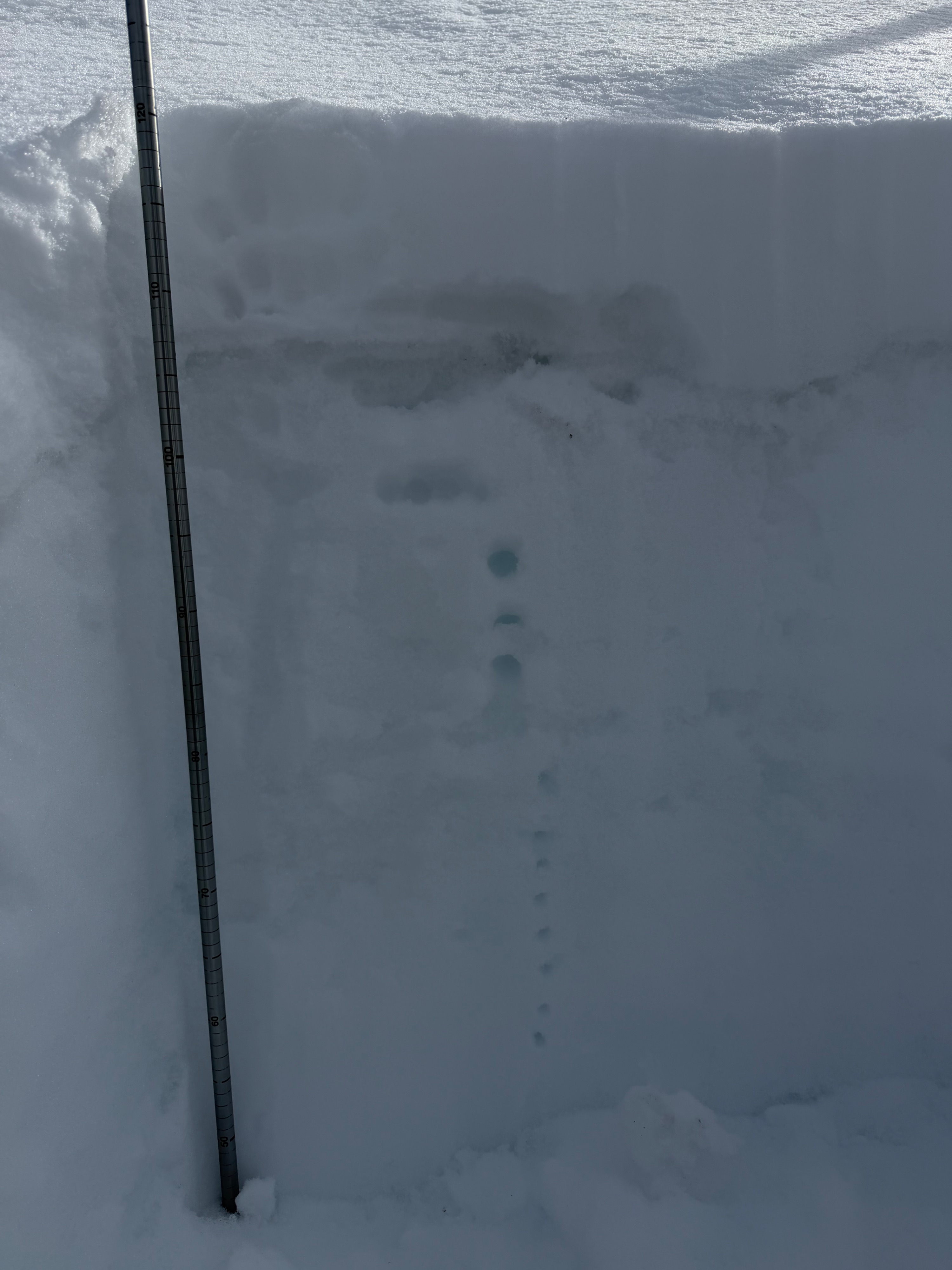
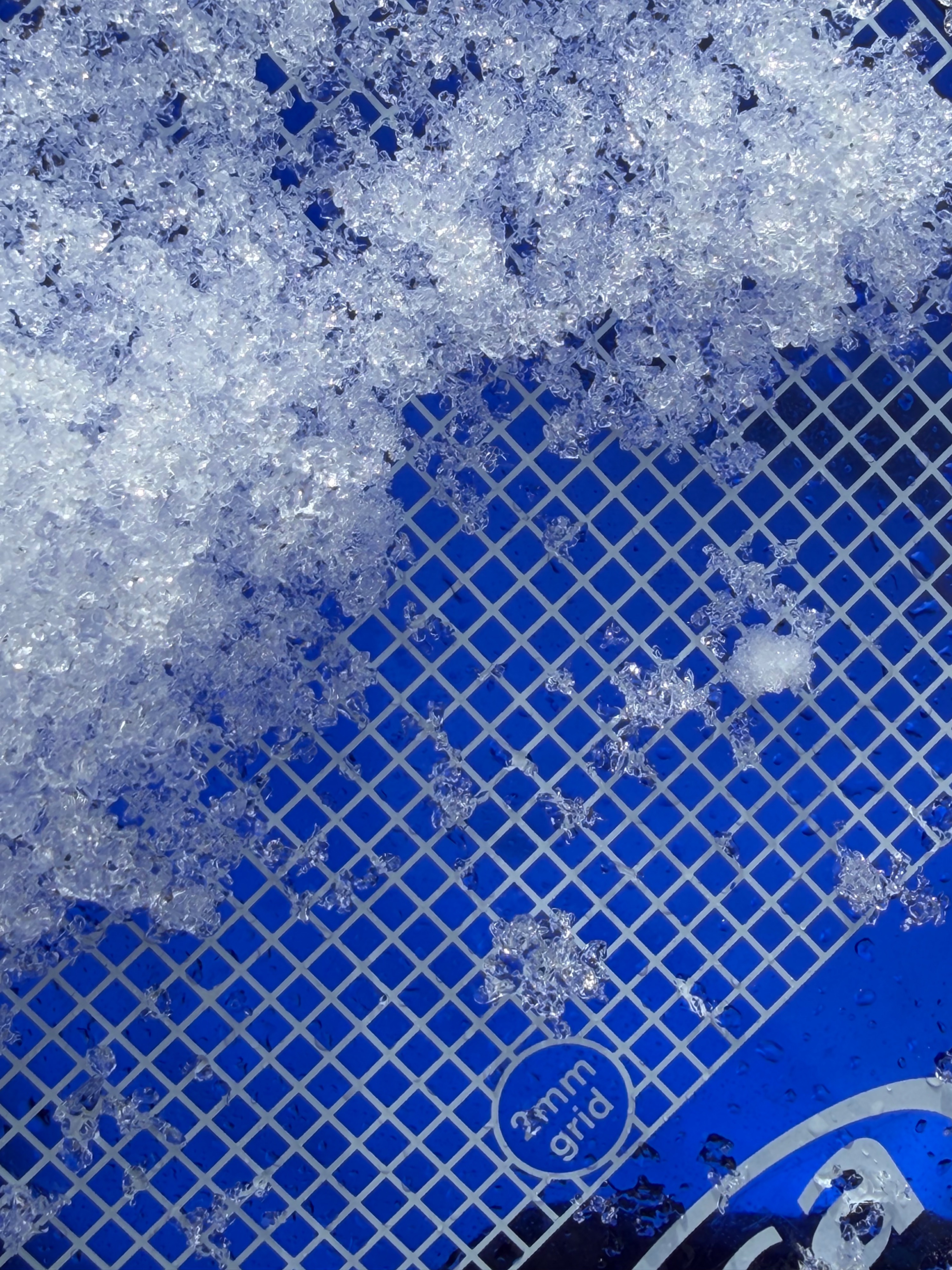
Our AIARE 1 class toured the ASI zone with the intent of obtaining the structure of the upper snowpack after our recent storm- and before the large forecasted storm this week. We found very poor snowpack structure in the top 30cm of a hasty pit we dug on a north aspect at 7000’. The new storm snow was very light and sugary- fist minus and seems it may have started to facet a bit. Under this we found a 2cm thick rain crust down 15 cm that had started to facet and was very brittle. Under the crust there were another 15 cm of facets that’s averaged 5mm in size- this layer was fist hard trending down to 4 finger hardness at about 35 cm from the surface. Currently there is no overlying slab over this facet sandwich- but it is a very concerning set up with our excepted storm. Additionally these faceted layers are now overriding a lot of rocks and other shallowly burred features that could be potential trigger points thanks to the past month of snowpack settlement.
Weather
- Cloud Cover
- broken
- Wind Loading
- light
- Recent Snowfall
- 15
- Snow Avail For Transport
- small smounts
Light SW winds increased in the afternoon with some moderate gusts over ridges.