
Quick report
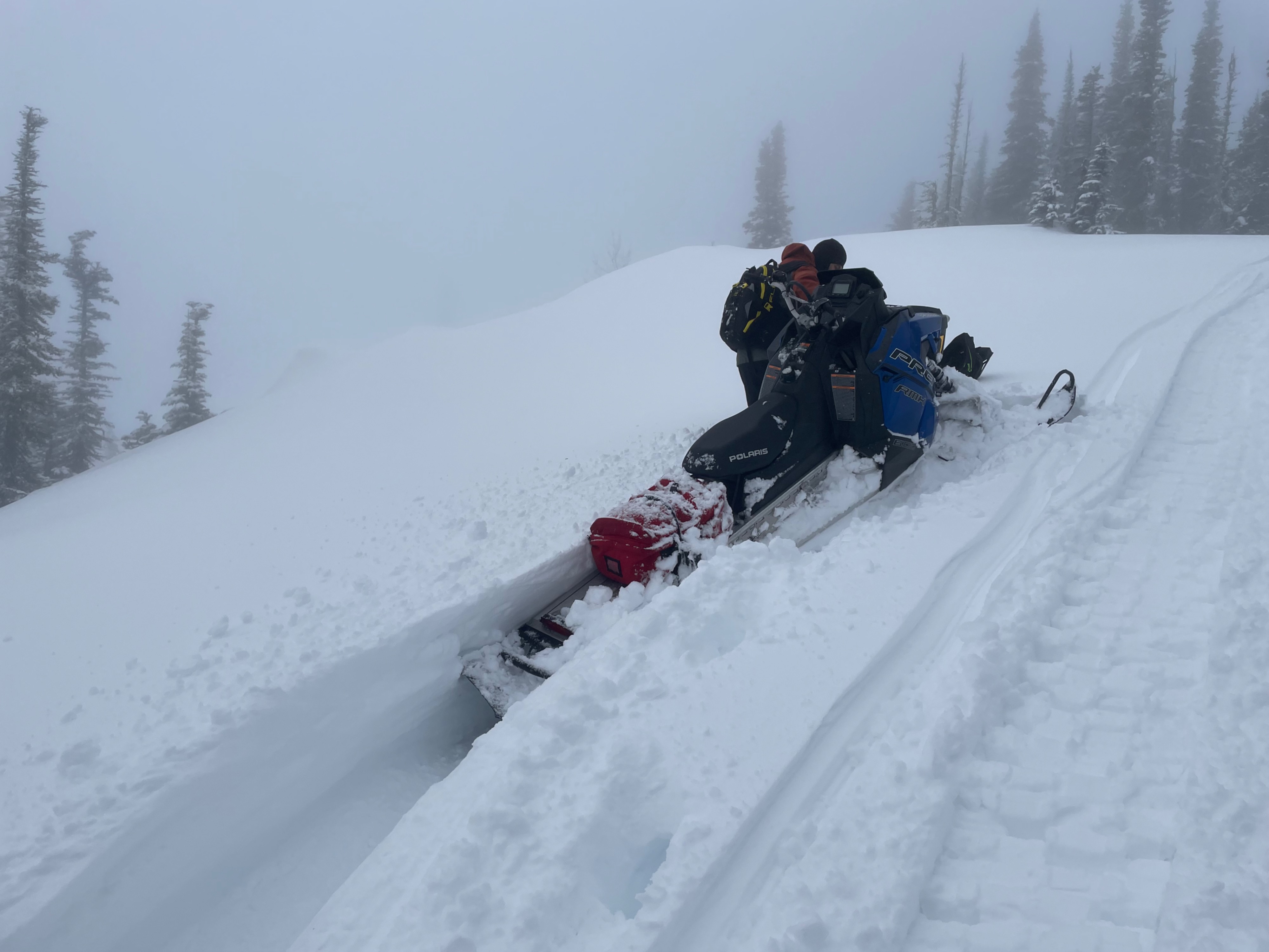
We had a wet foggy day in the mountains that began with misty rain down, low at the trail head in the valley, and fairly wet snow on the surface at upper elevations. The wind was calm, to light out of the southwest.
We did not observe any instabilities during our travels.Weather
- Air Temp
- 26
- Cloud Cover
- obscured
- Wind Loading
- none
- Rain Elevation
- Below Mccall
- Recent Snowfall
- 11
- Snow Avail For Transport
- small smounts
Wet and foggy with visibility improving in the afternoon with very brief breaks in the clouds.
Snowpack
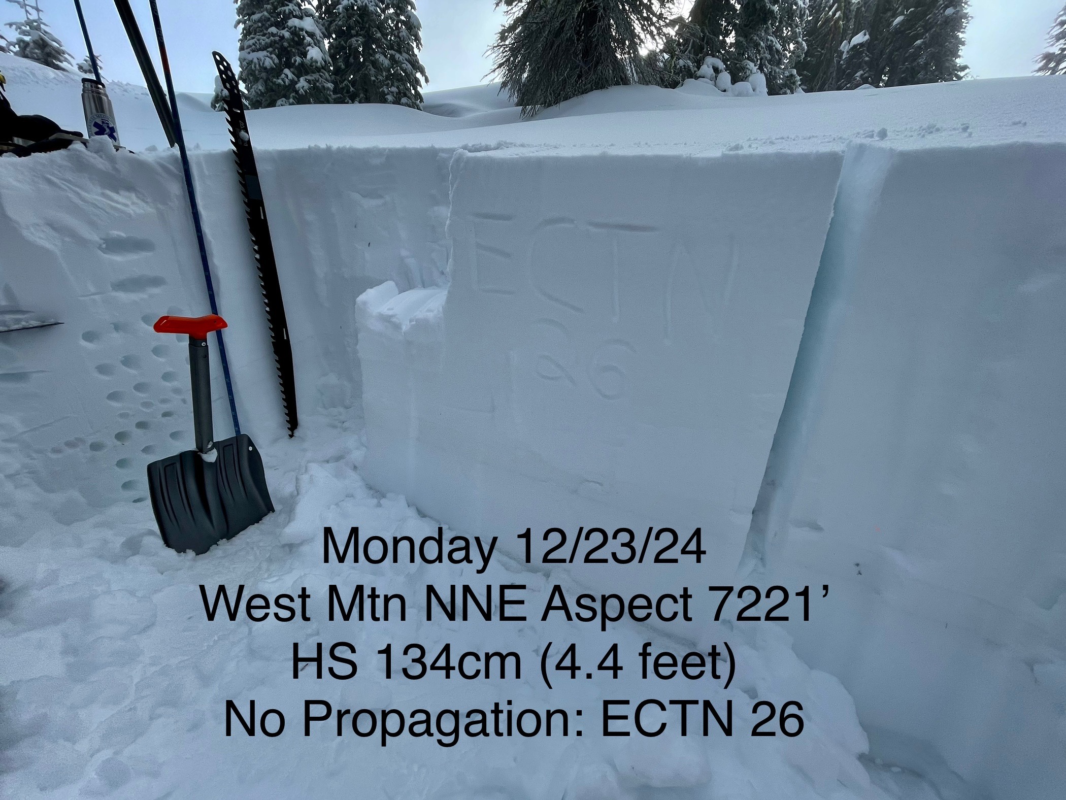
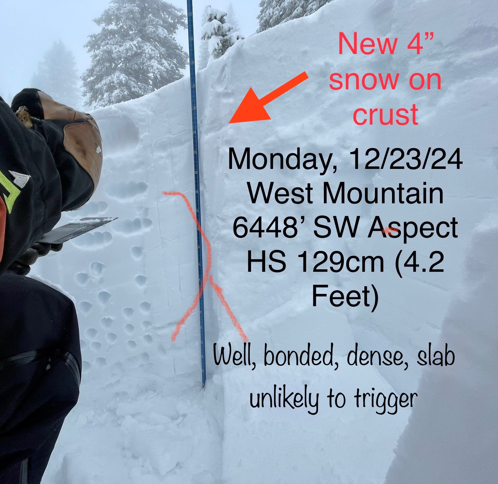
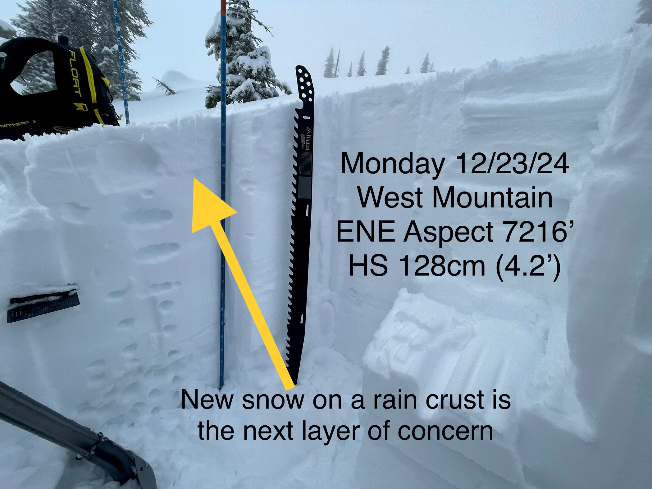
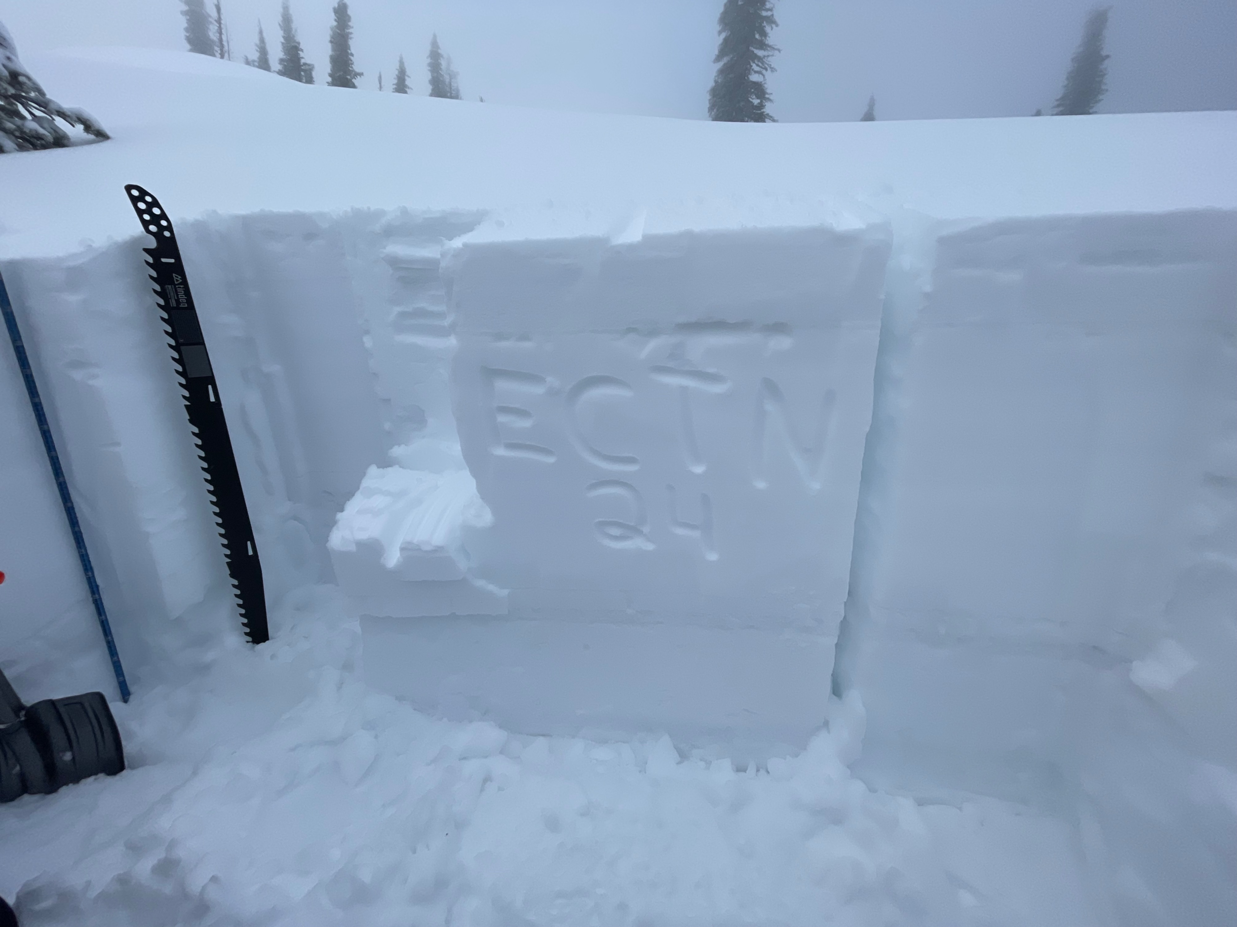
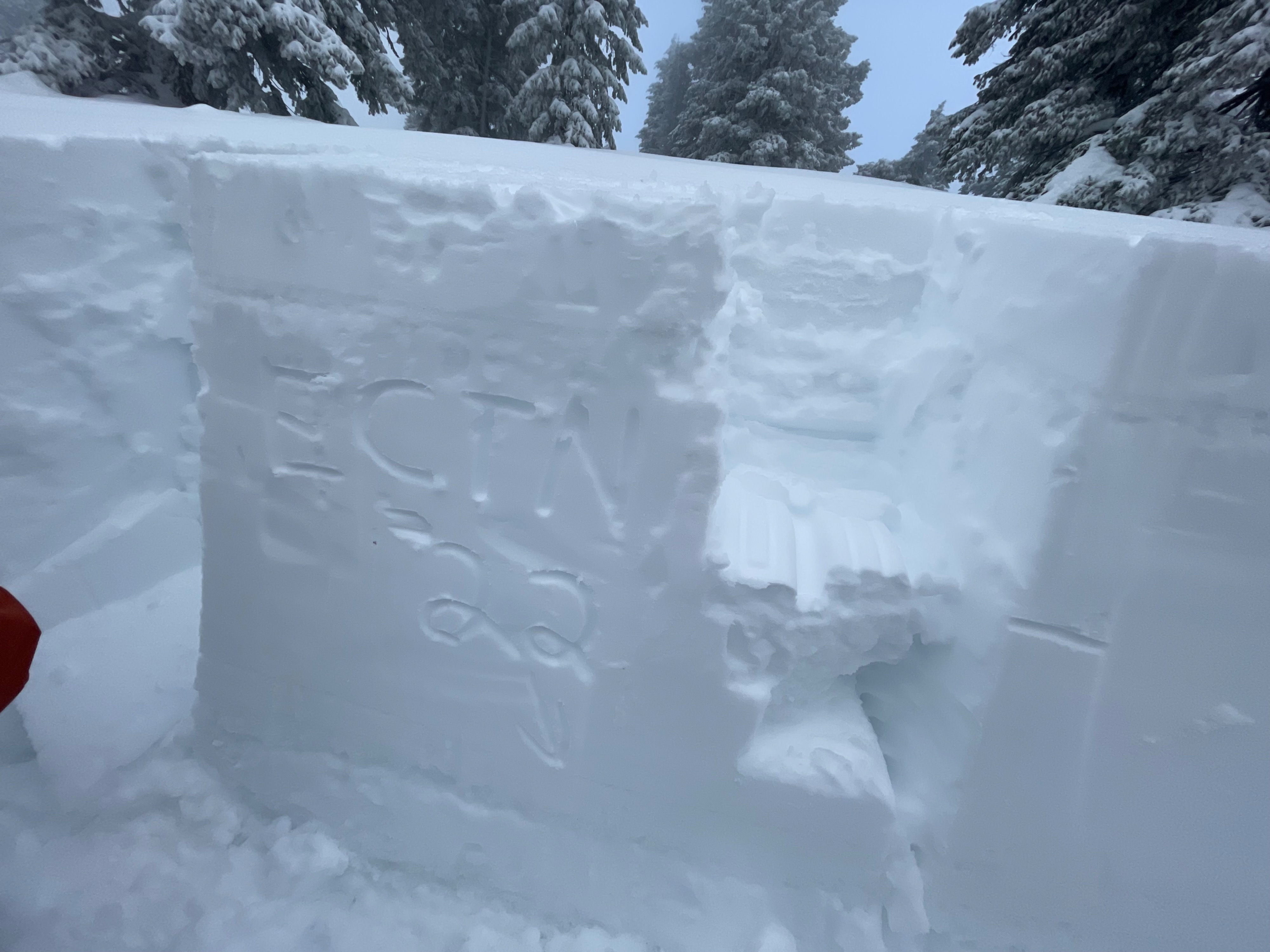
Three test pits confirm that the snow pack is fairly dense or solid right now below the upper foot of the snowpack. No failures propagated in all of our 3 Extended. Column Tests. Triggering deeper weak layers seems unlikely. Facets were moist and able to bond to a snowball. Our main concern now lies beneath 4 to 5 inches of new snow observed today that’s resting on a thin rain crust that should break down, but may pose problems towards the end of this week with added snow load.