
Quick report
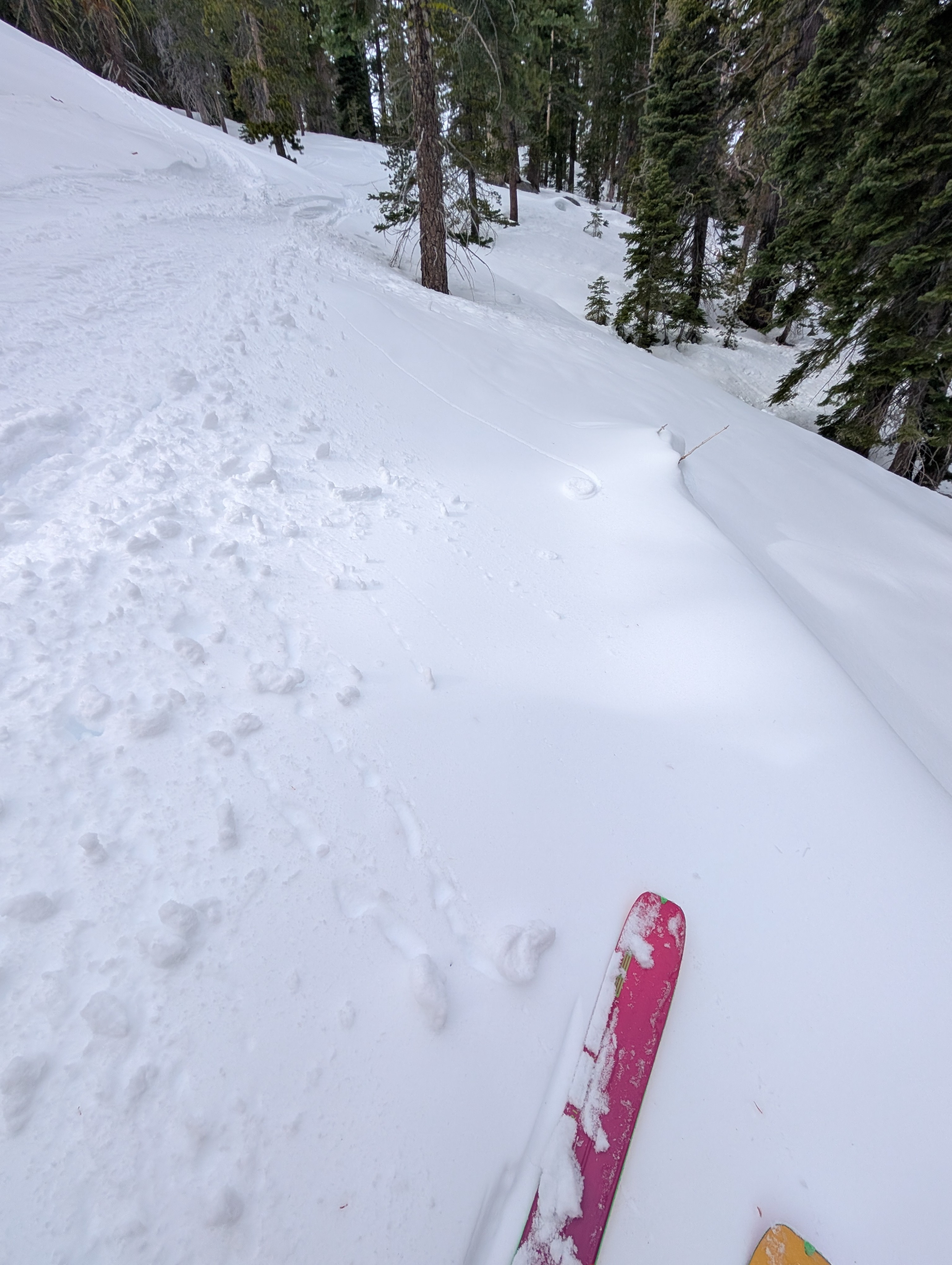
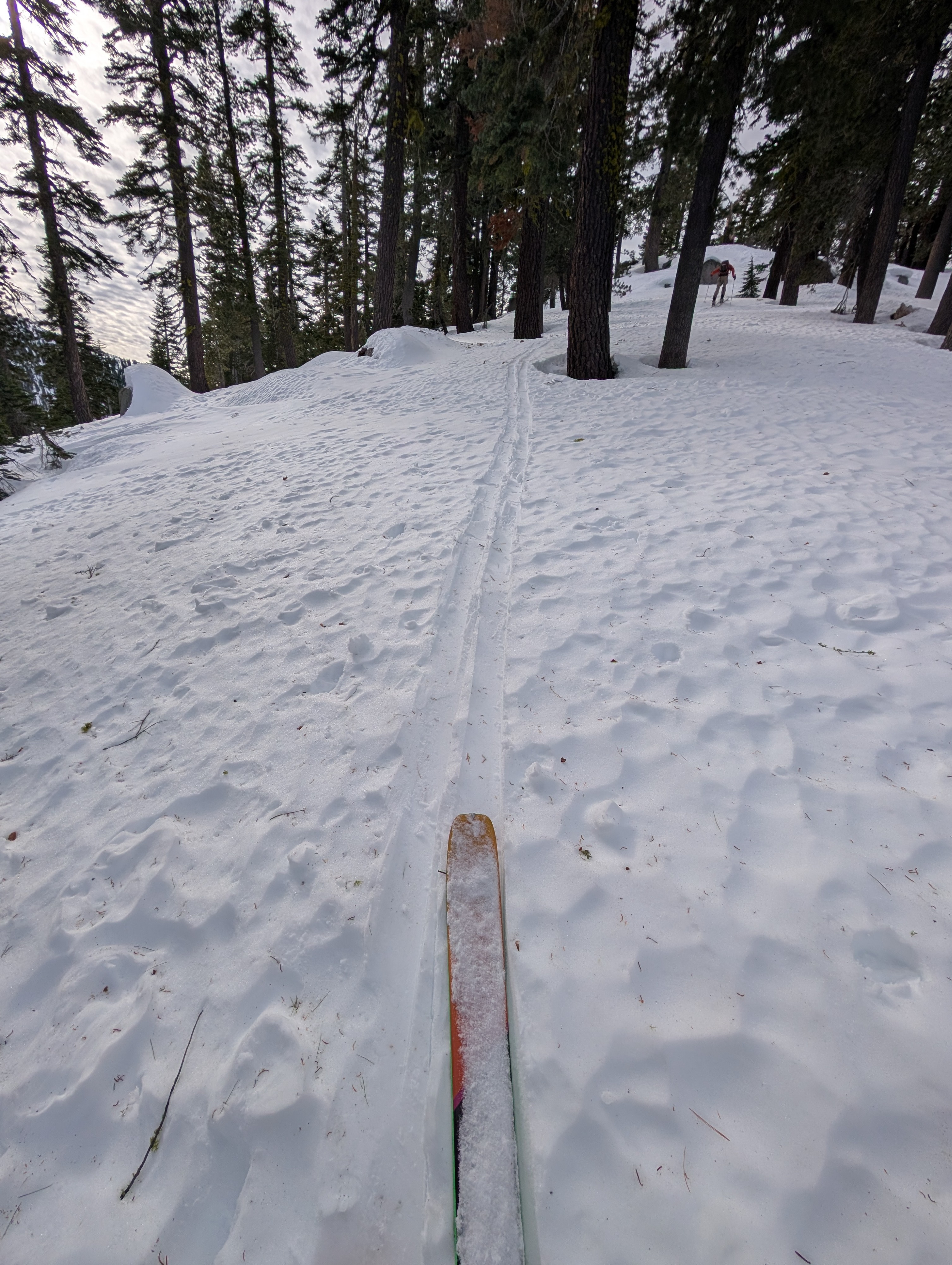
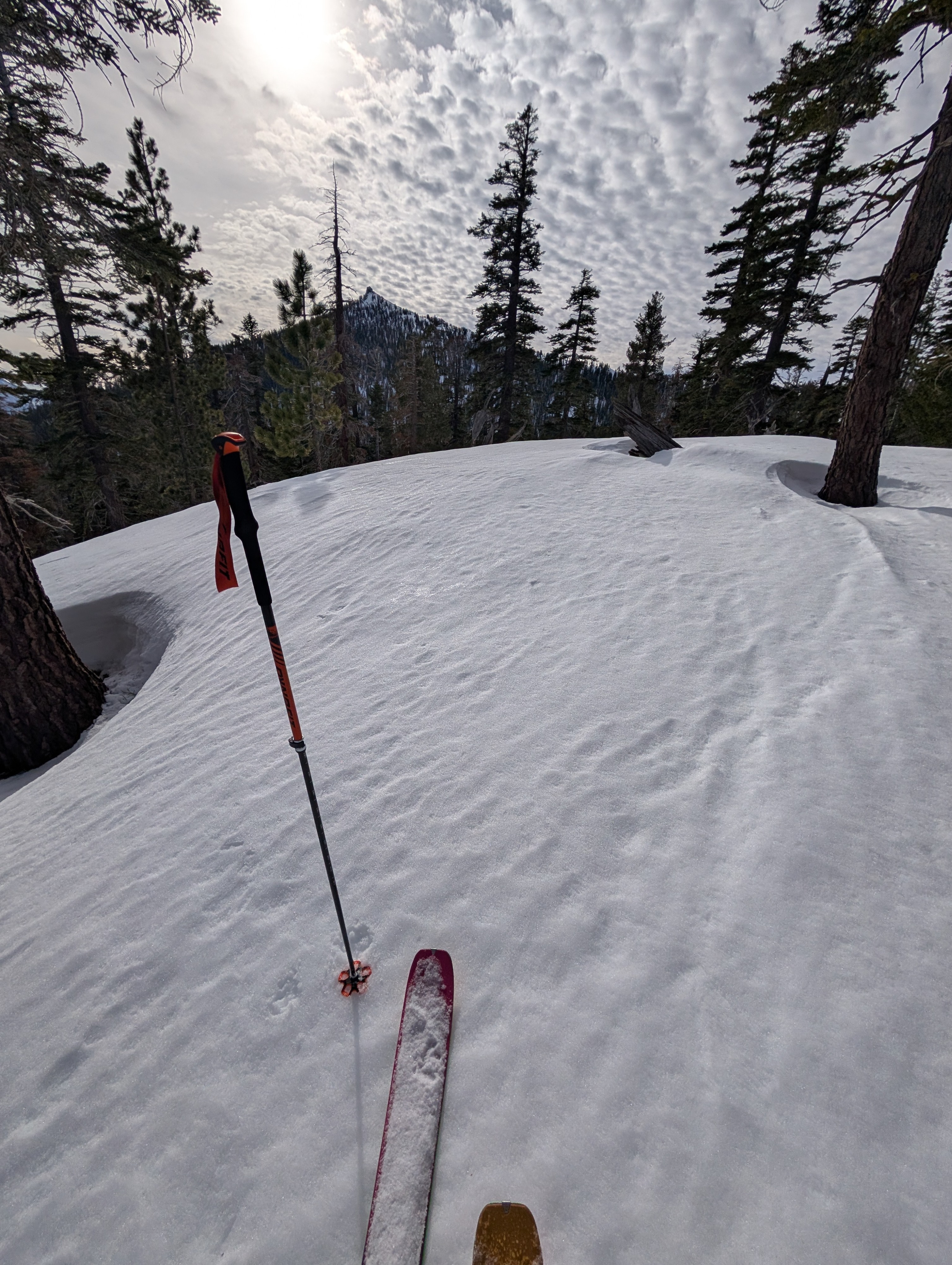
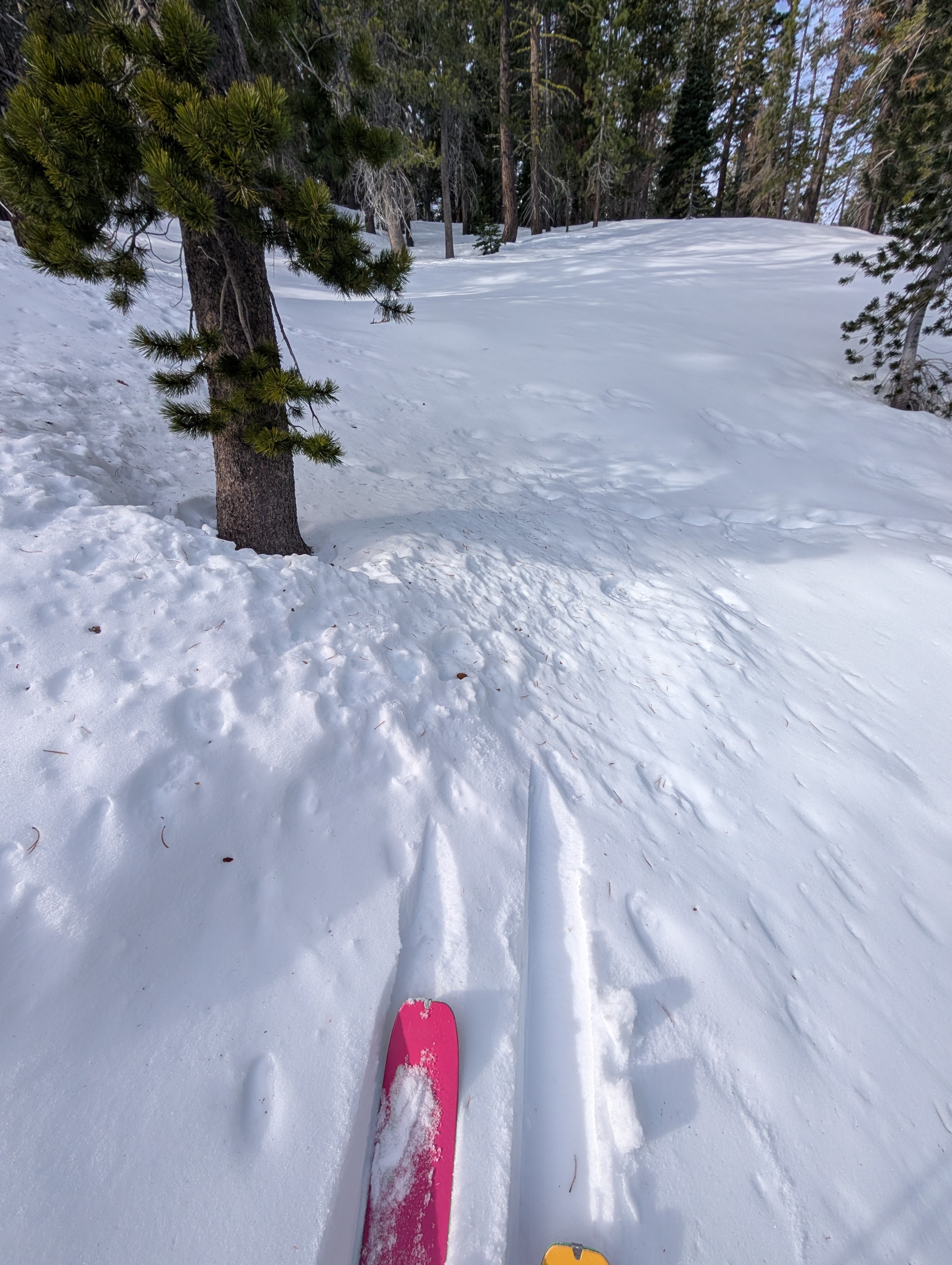
Another day of warm, dry weather and another day of variable snow conditions. We did start triggering small pinwheels and roller balls on steep slopes by midday, but otherwise, we did not see any signs of unstable snow. Cloud cover today caused some changes in the snow surface by trapping heat and making it moist on many aspects. This wet, sticky surface snow also existed in some spots on the previously cold north-facing aspects below 8000 ft and probably higher by this afternoon. A few areas of colder, drier snow lingered on these north-facing aspects, mixed with the moist surface snow, making for some "interesting" travel conditions. Elsewhere, we found snow conditions similar to those seen at other locations around the forecast area: sunny areas had transitional melt-freeze snow and sun cruts; wind-exposed areas held varying degrees of wind-affected snow; and plenty of open creeks and sinkholes still exist.
Weather
- Air Temp
- 42 ° F
- Cloud Cover
- broken
Clouds started moving into the area this morning, leading overcast skies and a greenhouse effect that allowed some warming on most aspects.
Snowpack
Snowpit data and observations continue to show a consolidating snowpack below the surface. Tests did not produce results.