
Quick report
- Cracking
- specific
- Collapsing
- isolated
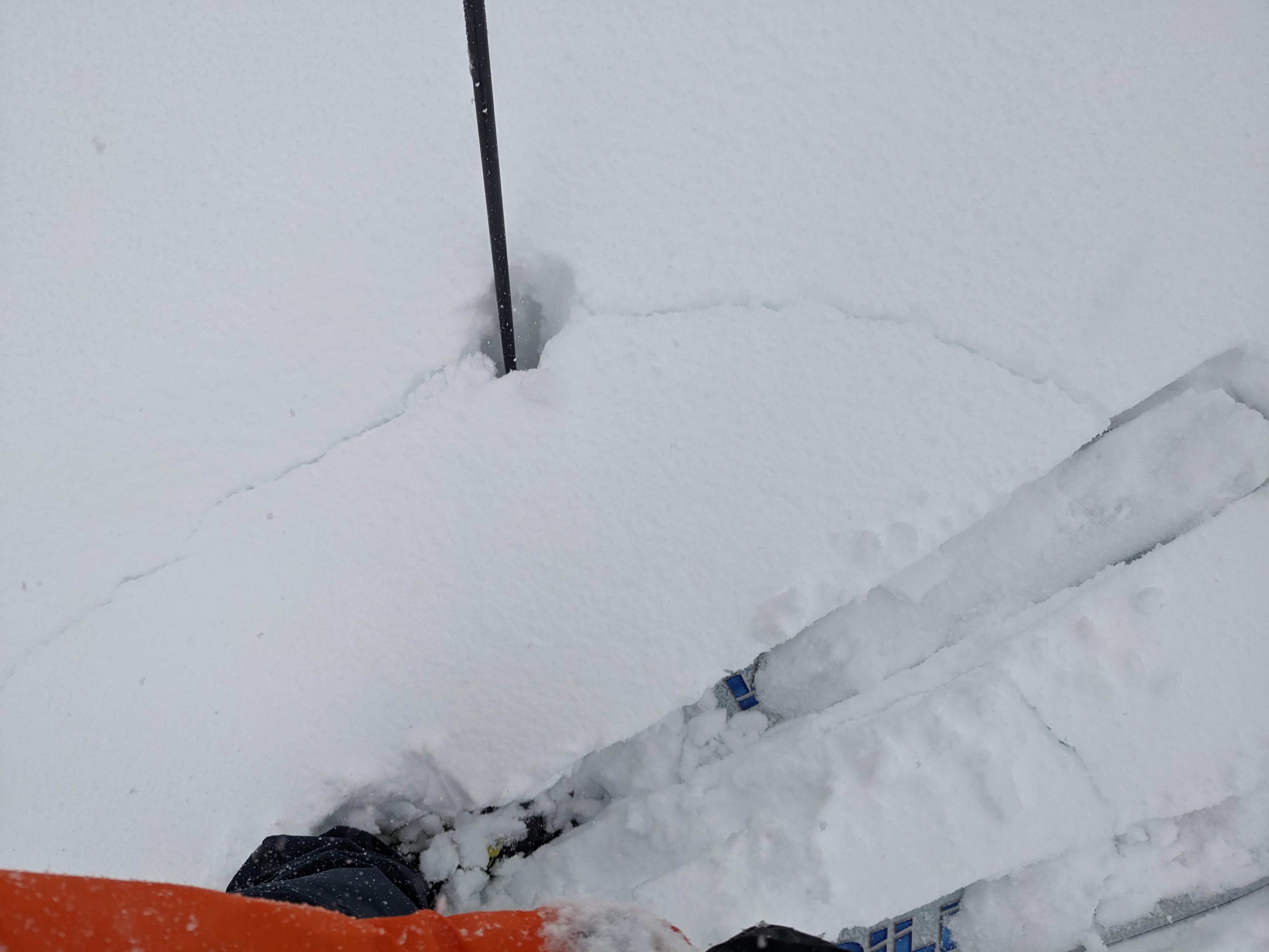
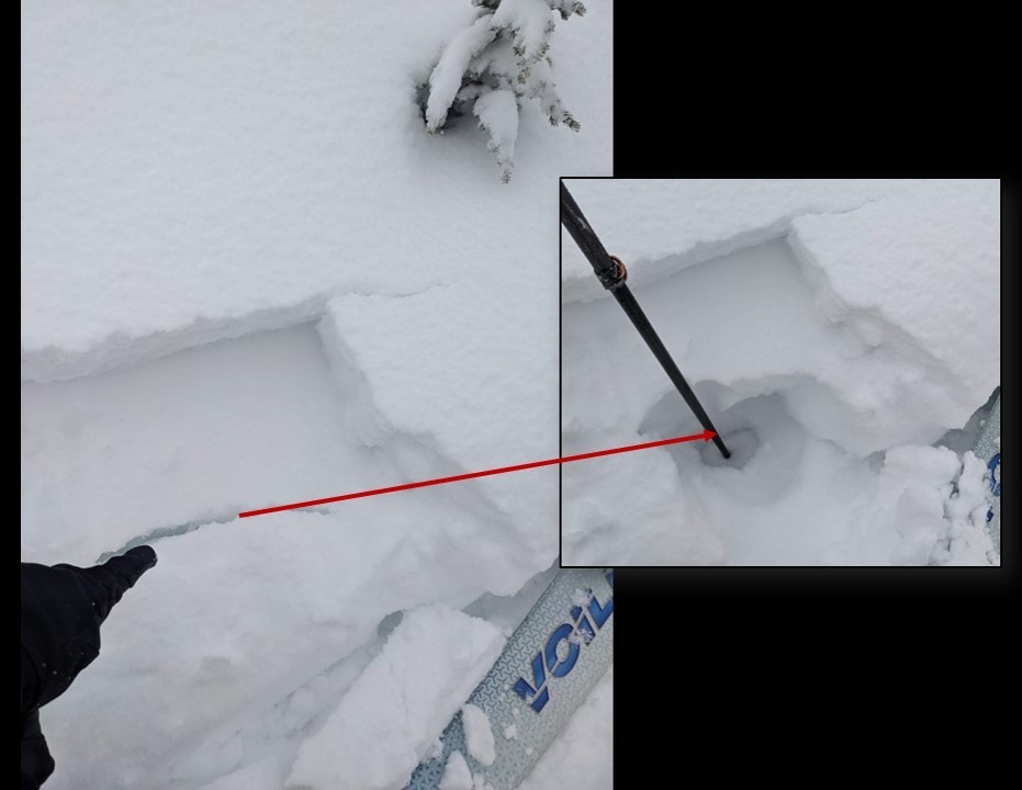
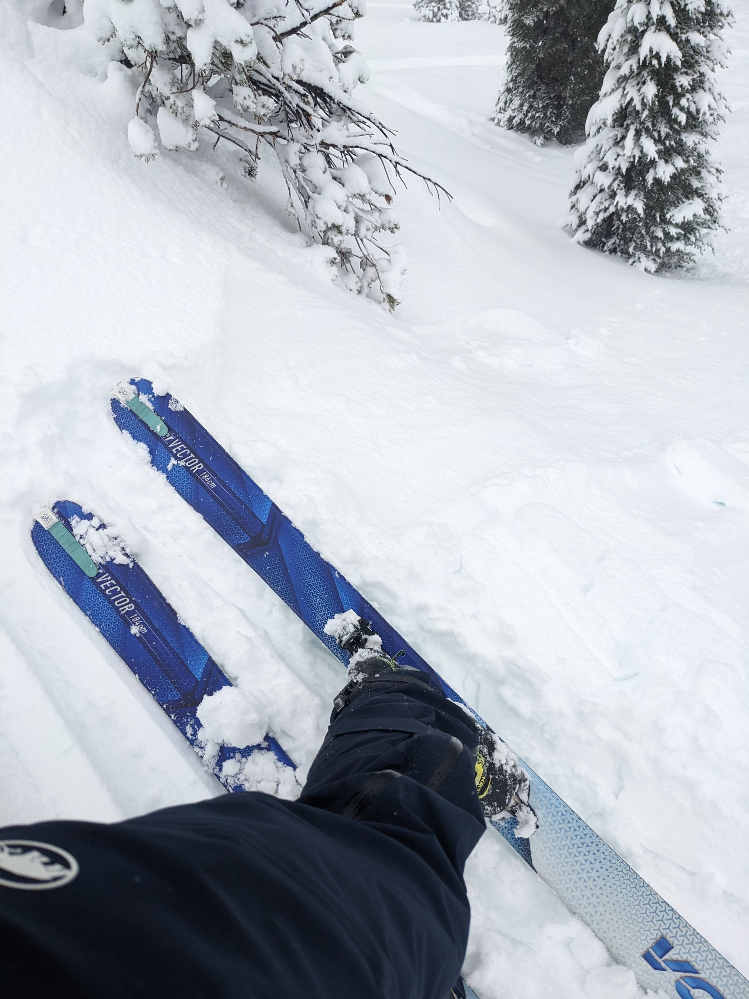
Driving up to Tamarack, the rain changed to snow at about 7500 ft, and we found about 3 inches of new heavy wet snow in the parking lot when we arrived. Old ski tracks and skin tracks remained visible. We tried to avoid these in hopes of seeing how the buried persistent weak layers were handling the heavy new snow. With each pole plant, we could feel the heavy snow and the more cohesive old snow layer below it. When it seemed like the pole had finished sinking into the snow, it would plunge through the old, weak snow below those layers. Small cracks also formed around our skis while skinning, and we triggered one whumpf/collapse (see instability section for more details). When we gained the ridge, strong winds buffetted us, but we did not find any large deposits of wind-blown snow. We did keep finding the buried weak layers. These weak layers got weaker and more pronounced as we ascended. Overall, we found plenty of signs of instability and decided it was best to stick to lower-angle terrain for the ascent and our descent. While skiing down, we could also feel the weak snow on some turns as we punched through the new snow and more consolidated snow above the weak layers. On our drive back home, the snow level had climbed to 8300 ft.
We triggered some cracking at the old snow / new snow interface and in the old, weak snow in the bottom half of the snowpack throughout our tour. This cracking occurred on N-NE aspects between 8800 ft and 9800 ft. None of these cracks propagated very far. We also triggered a whumpf when the surgery's weak snow (facets) near the base of the snowpack collapsed while we skinned across a low-angle N-facing aspect at 9450 ft. The collapse radiated out in a 6 ft radius from my skis.Weather
- Air Temp
- 35 ° F
- Cloud Cover
- obscured
- Wind Loading
- light
- Rain Elevation
- 7500 - 8300 ft.
- Recent Snowfall
- 6 CM
- Snow Avail For Transport
- small smounts
On the drive to Tamarack, we encountered periods of heavy rain up to 7500 ft. Snowfall came in pulses during the tour but amounted to less than an inch of new snow. We experienced strong winds on the ridgelines, but blowing snow remained limited, as did drifted snow on the leeward sides of ridges. On the way home, the snow changed to rain at 8300 ft.
Snowpack
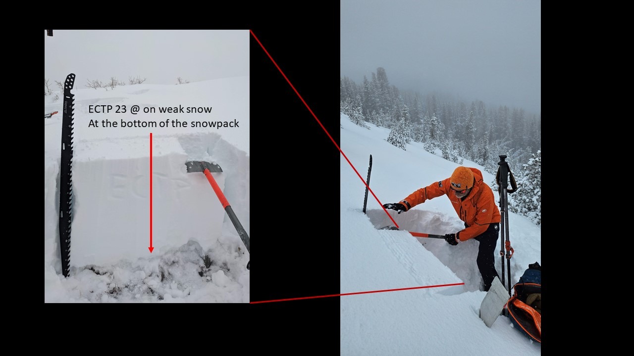
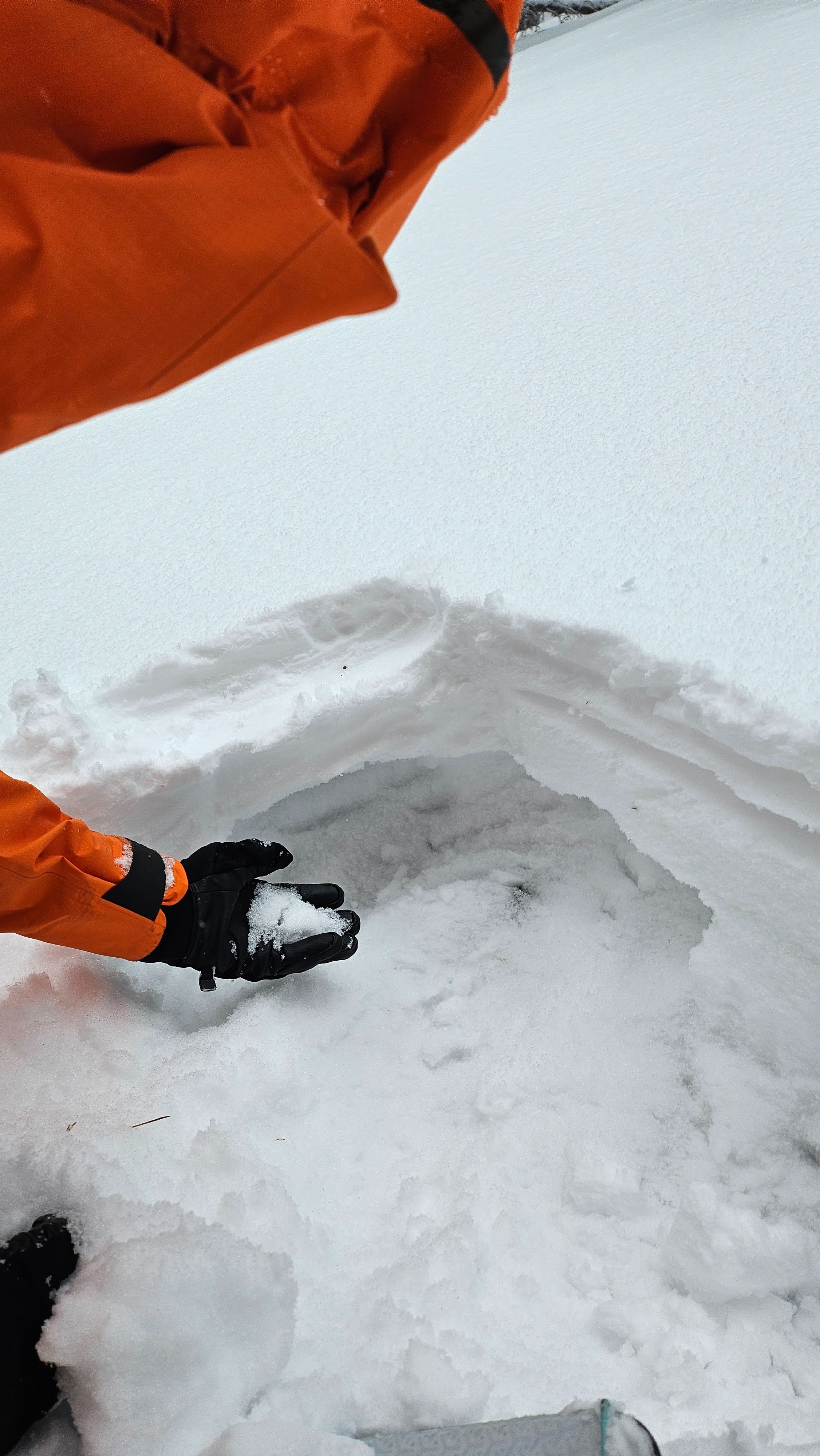
6 - 10 cm (3-4 in) of new heavy wet snow had accumulated on top of the old snowpack in the Tamarack Peak area. Below 8800 ft, a thin rain crust existed at the base of the new snow. Above 8800 ft, the rain crust disappeared. This new snow fell on top of an old snowpack that consisted of a layer of more consolidated snow that ranges from ~ 15 cm (6 in) to about 50 cm (20 in) thick on top of a layer of old, weak, sugary snow that also varies in thickness. The old, weak snow remained loose and mostly dry. It did not clump together when squeezed. We performed 2 ECTs on N and NE aspects, one at 8900 ft and one at 9450 ft, both propagated.