
Quick report
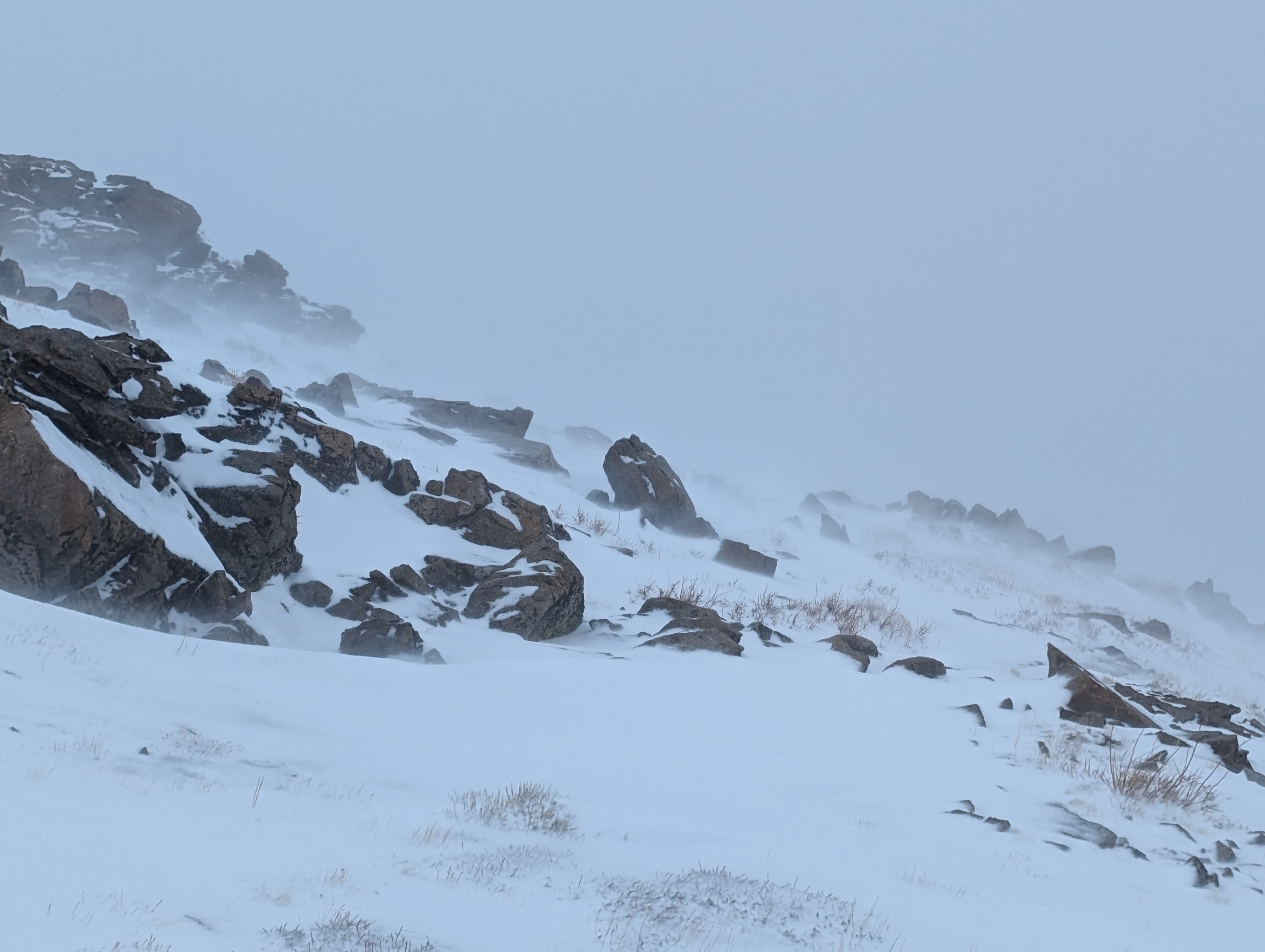
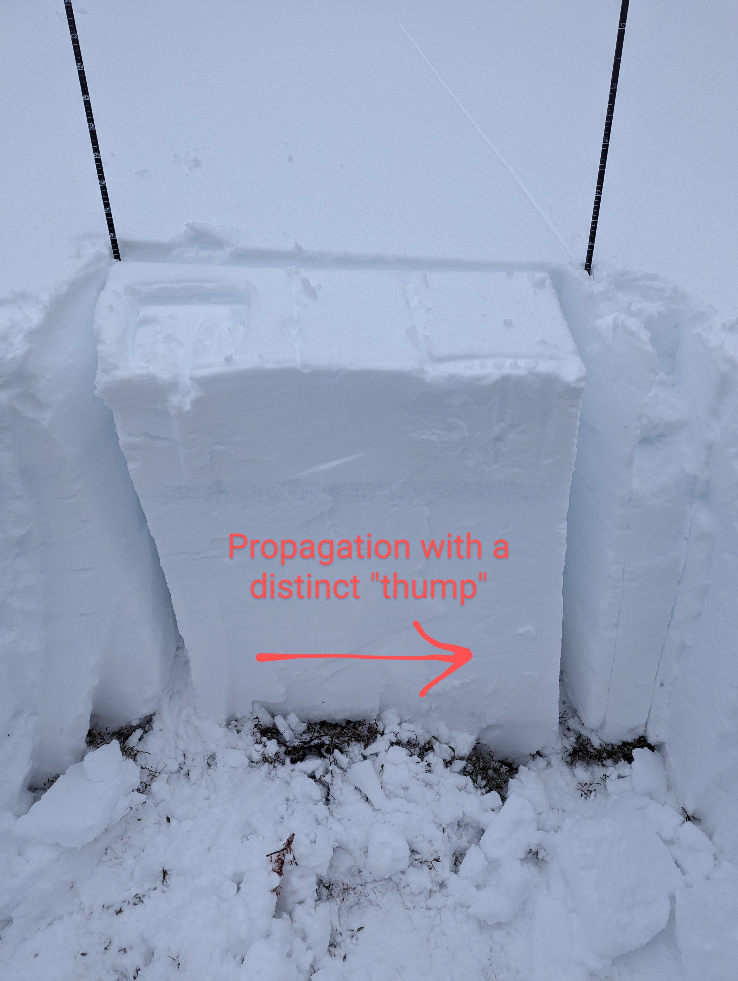
We started our day in the rain, and experienced both rain and wet snowfall throughout our tour. As we got above 8200ft, I did find some intact surface hoar under the 2" of new, wet snow. But it was very patchy in distribution, and when I checked the same areas later in the day, I could no longer find it. During a break in the precip, we stopped to dig two snow profiles (E aspect at 8200ft) and found the Dec 19th layer still reactive, but the Jan 2nd layer unreactive. In the upper snowpack, there were several crust layers with adjacent cold snow that had the potential to be layers of concern, but they did not present as such in our profiles today. On a steep NE aspect at our high point of 9000ft, we saw debris from a very recent natural Wet Loose avalanche (or possibly multiple overlapping) that was not big enough to bury a person. Also at our high point of 9000ft, the new snow was just cold and dry enough to get moved by the moderate to strong winds. Although we didn't see evidence of Wind Slab instabilities, we didn't go higher where the most snow was being moved.
A small (D1), natural wet loose avalanche observed on a NE aspect at 9000ft, and unstable snowpack tests on Dec 19th layerWeather
- Air Temp
- mild
- Cloud Cover
- overcast
- Wind Loading
- moderate
- Rain Elevation
- 9000
- Recent Snowfall
- 5
- Snow Avail For Transport
- moderate amounts
Rain and snow mix to our high point of 9000ft
Snowpack
Wet new snow on top of yesterday's surface hoar. Just a few inches, but enough to apparently destroy the SH. Early in the day, I found some intact SH above 8200ft, but it was patchy. Then in the early afternoon in the same places as earlier, I could no longer find it intact. Jan 2nd layer was unreactive to snowpack tests, but Dec 19th layer still produced unstable results.