

Quick report
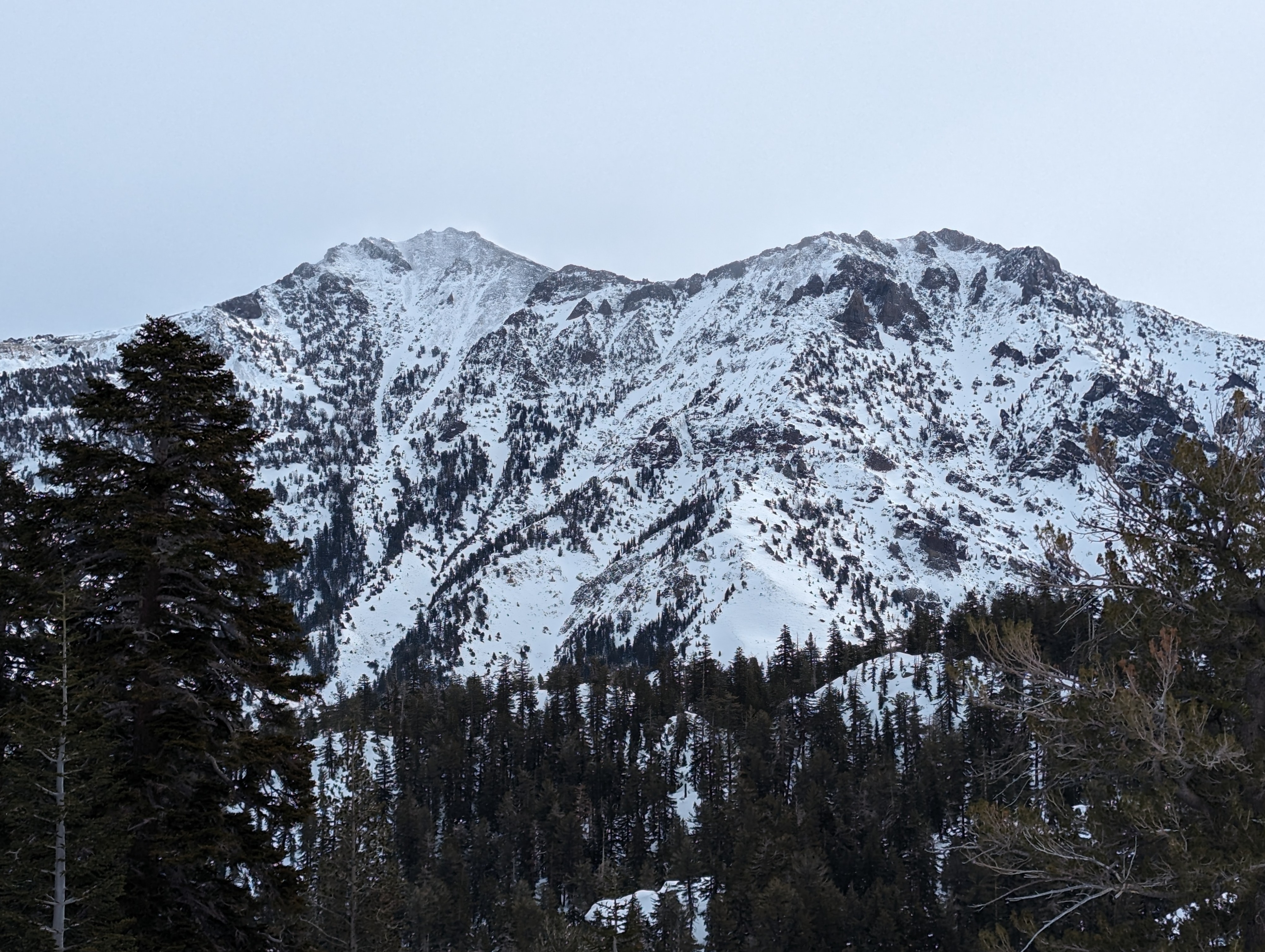
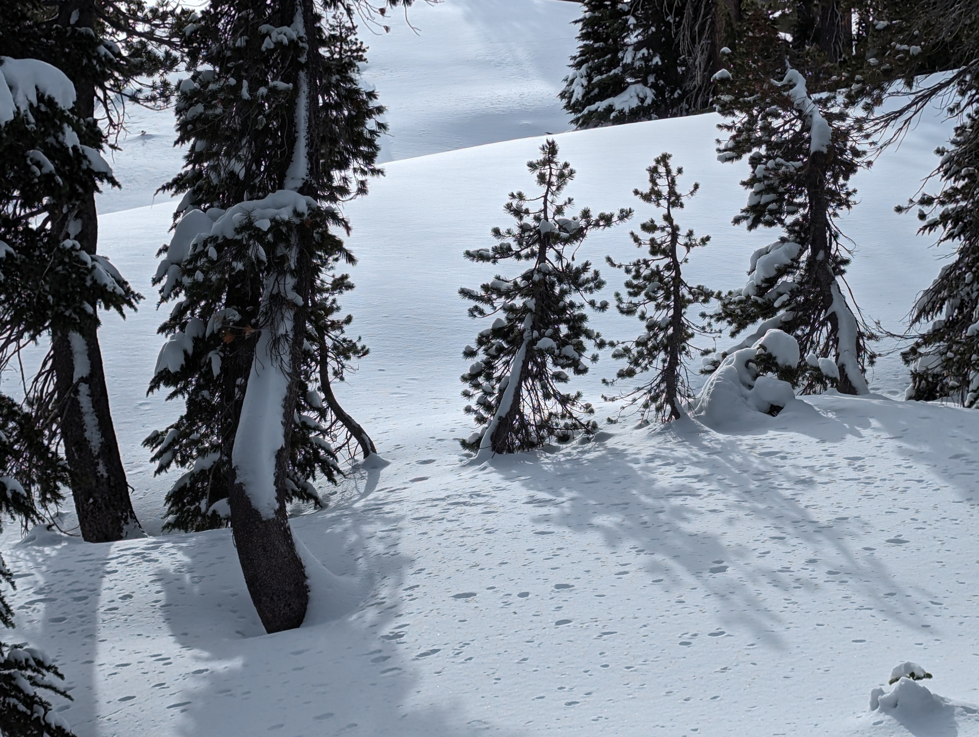
We rode Ebbetts Pass near the snotel station, and found good snow but also one bad rock. Observations were cut short by a broken A-arm and our shifted focus to getting out safely (we weren't very close to HWY 4 when it happened). My single Extended Column Test propagated on the lower Jan 2nd layer, which was closer to the mid-December rain crust than I've seen elsewhere recently. The facets just above the mid-Dec rain crust were similar in size and weakness to those I saw yesterday at Lower Blue (yesterday they were the weak layer in snowpack tests and a remote triggered avalanche). As we gained more exposed ridges, the snowpack became notably thinner, and big peaks in the area had been stripped of upper elevation snow by recent and current winds. Flagging on trees indicated recent N winds, but today's winds were strong from the SW.
A single ECT propagated along the bottom of the double Jan 2nd PWL (a damaged snowmobile shifted our focus to a safe exit instead of more snowpack tests).Weather
- Cloud Cover
- overcast
- Wind Loading
- moderate
- Snow Avail For Transport
- small smounts
Very windy, overcast skies, and mild temps
Snowpack
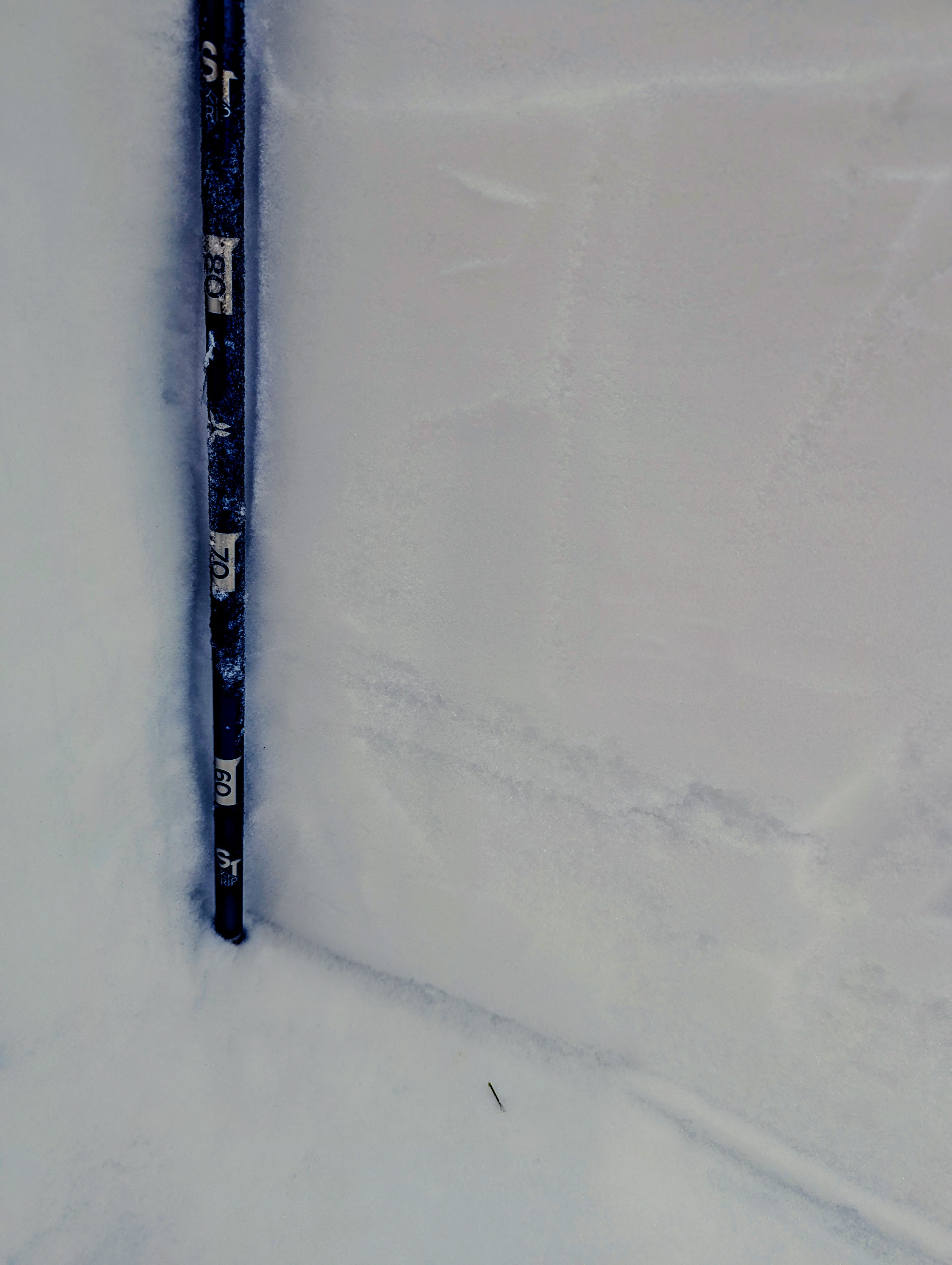
Probing wind sheltered terrain near 8600ft at the Ebbetts Pass snotel revealed 1-2ft more than today's snotel readings. The upper Jan 2nd facet layer had some SH within it, while the lower Jan 2nd layer was weaker with larger facets. Also a facet layer above the mid-Dec rain crust.