
Snowpack
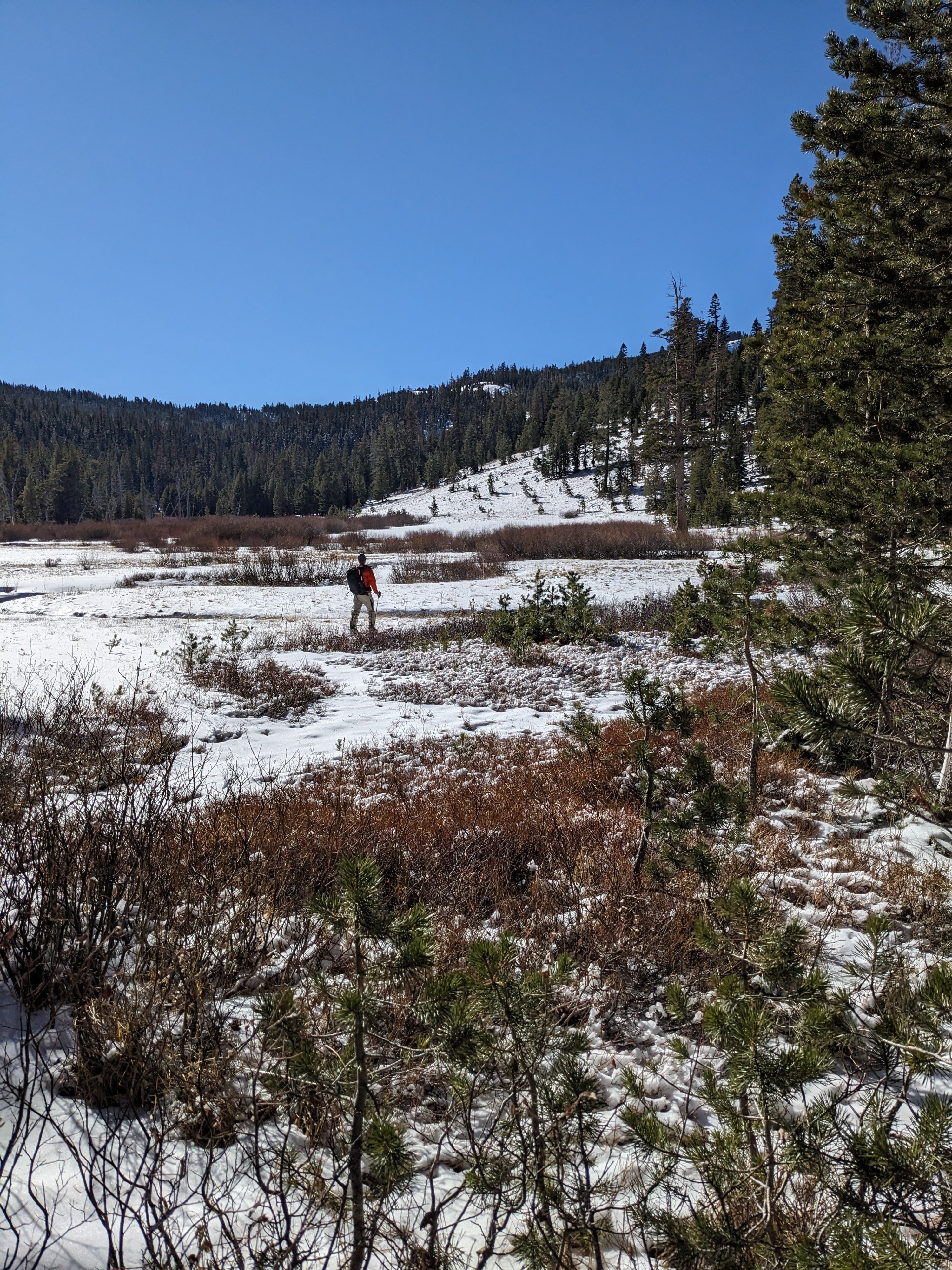
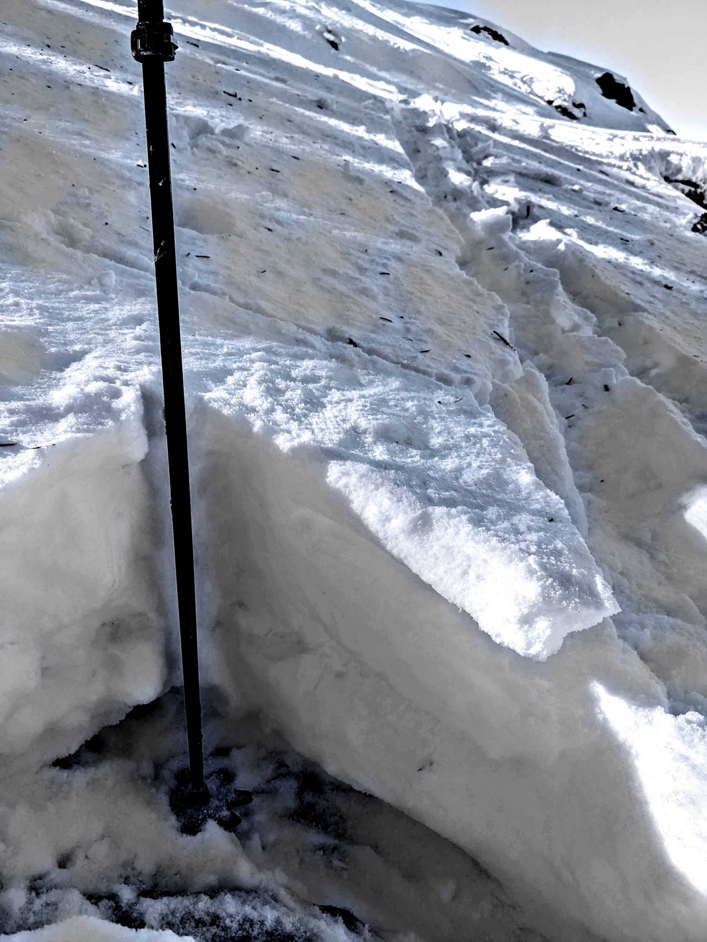
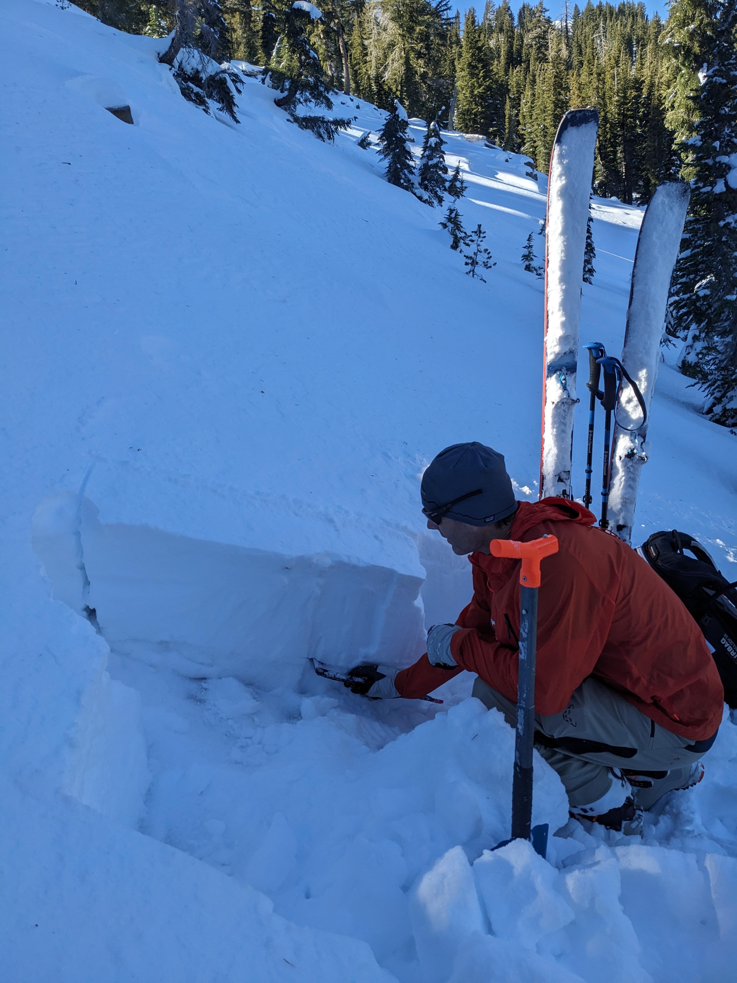
This weekend's storm left a mix of rain and snow across the region. Consistent but thin coverage started around 7600 ft. in the Mt. Lola area on N aspects. The snow was only a few inches deep but was very supportable since it fell as a mix of rain and snow. Between 8000 and 8200 ft, snow depth increased with old snow existing underneath the new snow. The snowpack in this area consisted of a mix of fresh snow, crusts, and old, weak snow that had started to clump together.
By 8600 ft, the snowpack held less buried crusts and more weak snow on northerly aspects sheltered from the wind. The old snow at these upper elevations remained loose and weak. Tests indicated that it could become a problem when more snow accumulates on top of the weak layers.
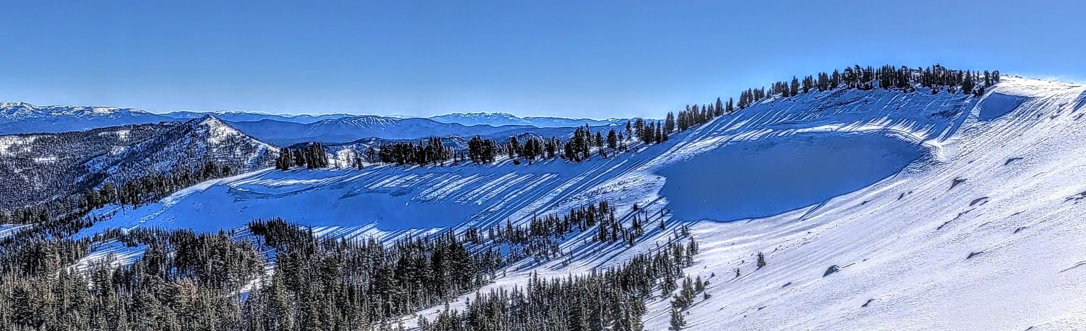
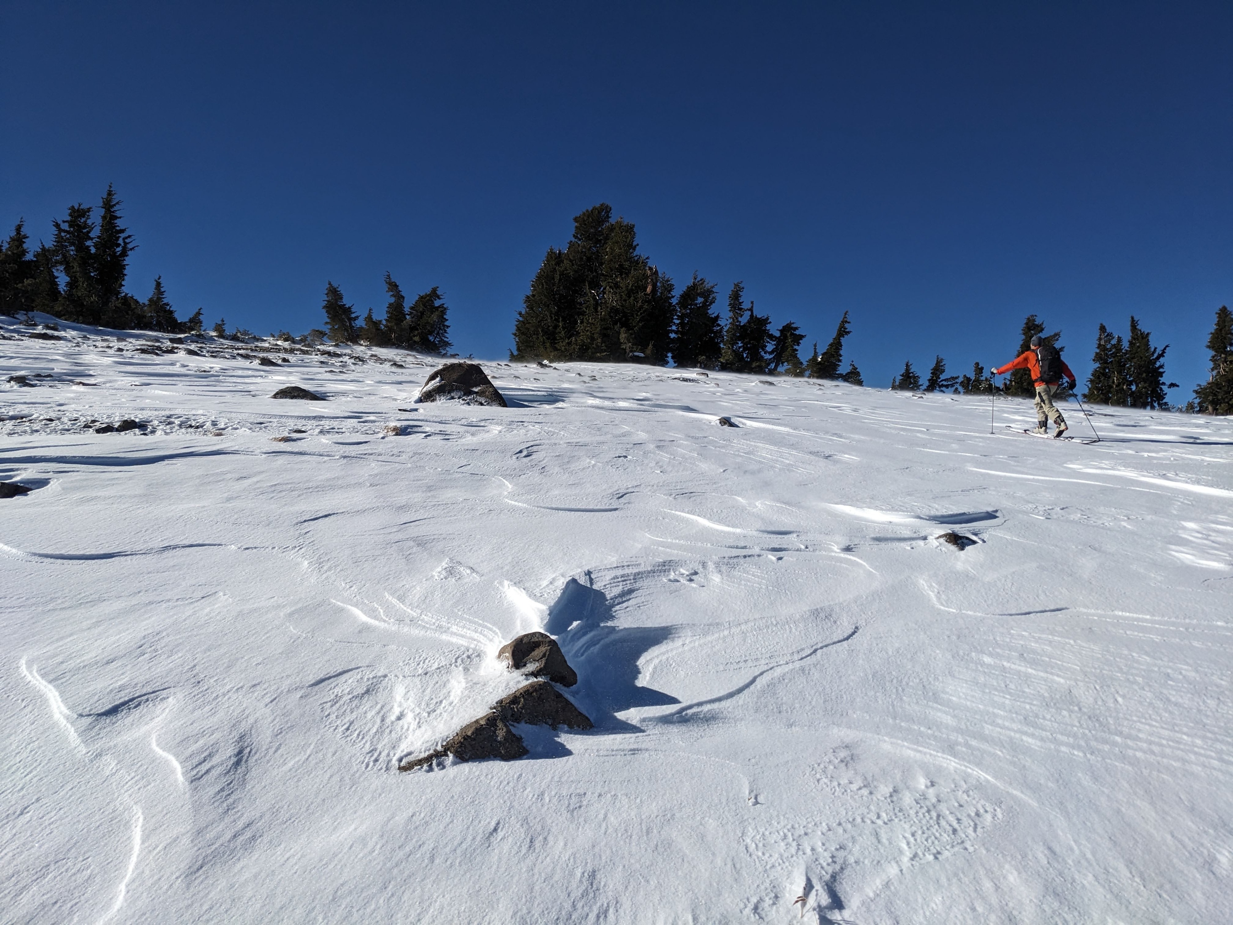
Near the top of Mt. Lola, east winds had scoured N-NE-E aspects back to ice crusts or dirt. The strong east wind continued to blow snow onto the westerly aspects, creating firm, dense, wind-packed snow on the leeward aspects.