

Weather
- Cloud Cover
- overcast
- Wind Loading
- light
- Rain Elevation
- 8000' today with signs of rain on snow up to 9000' last night.
- Recent Snowfall
- 8
- Snow Avail For Transport
- small smounts
Snowpack
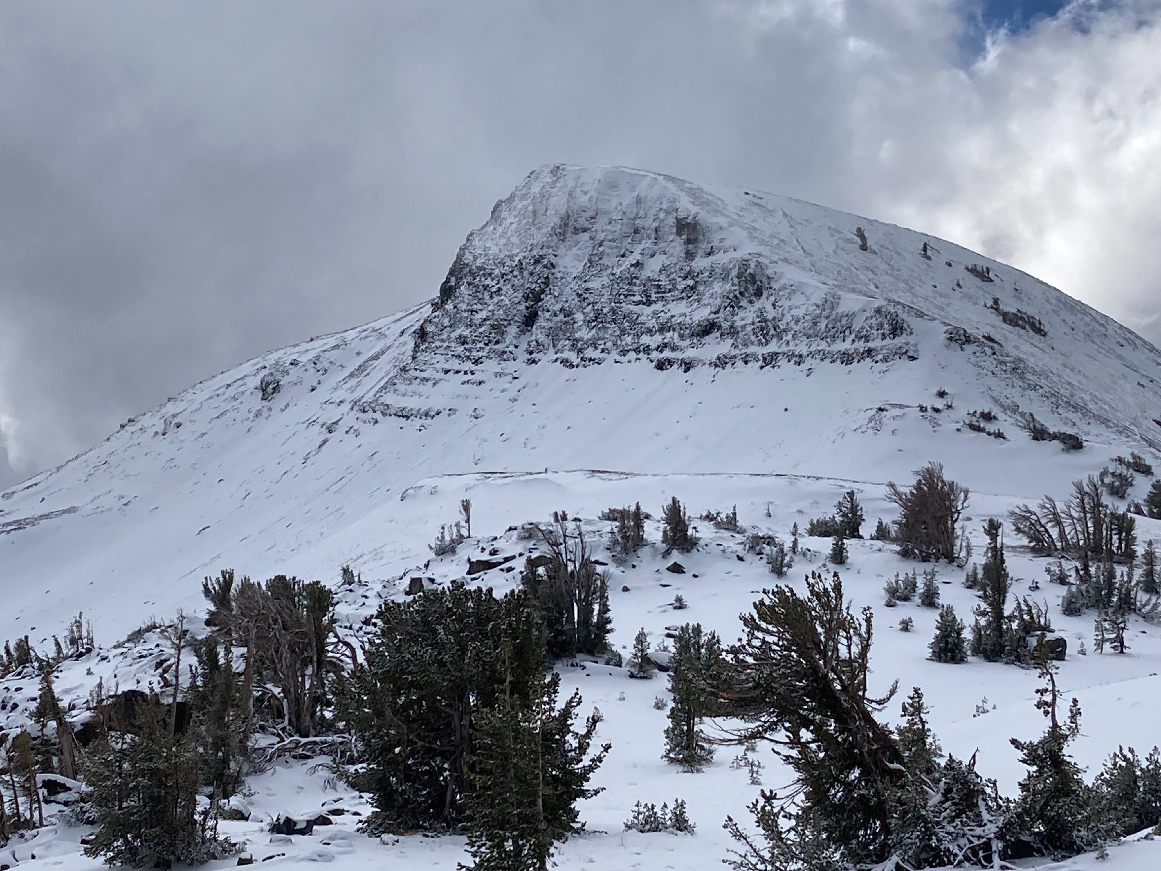
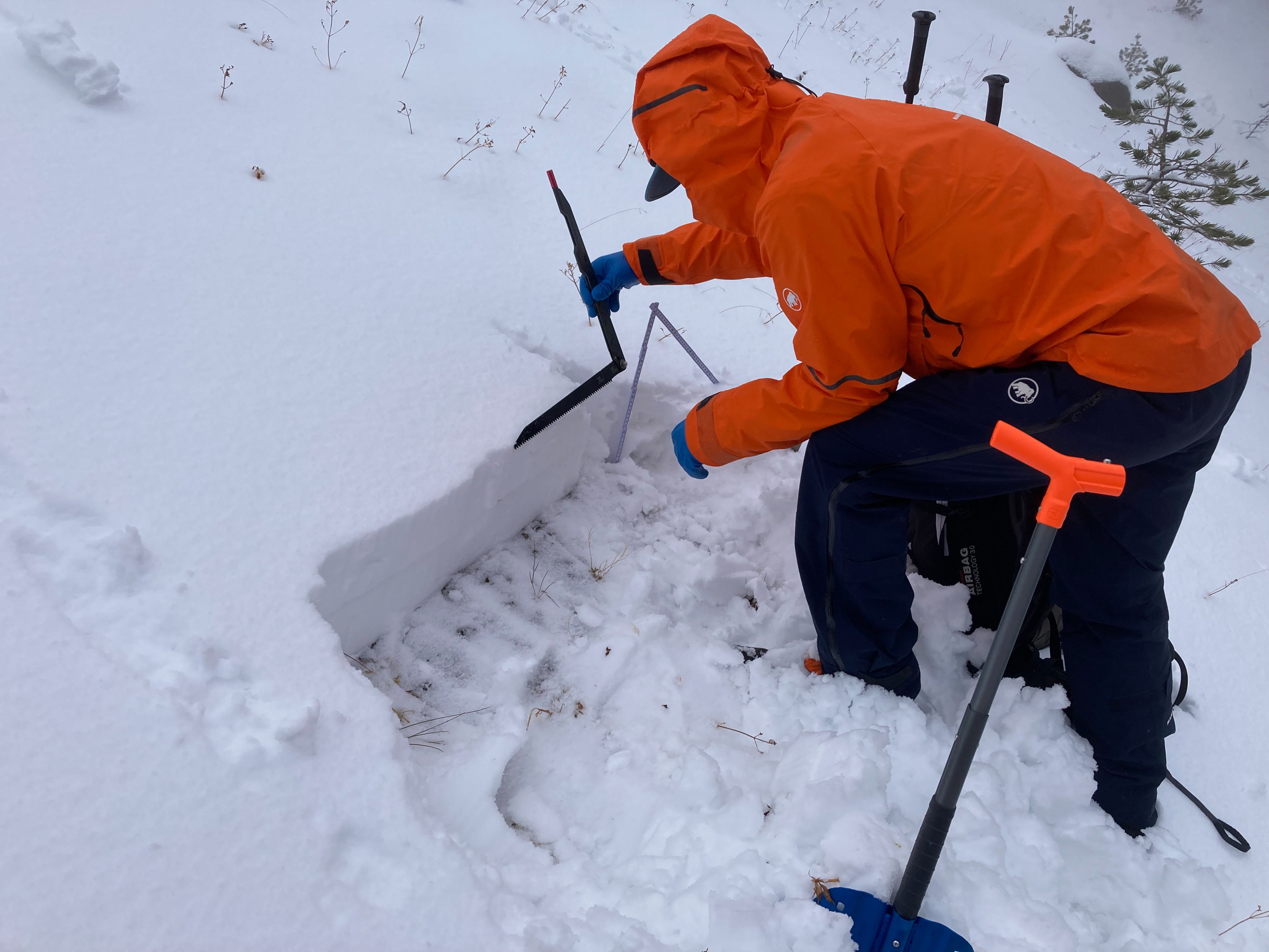
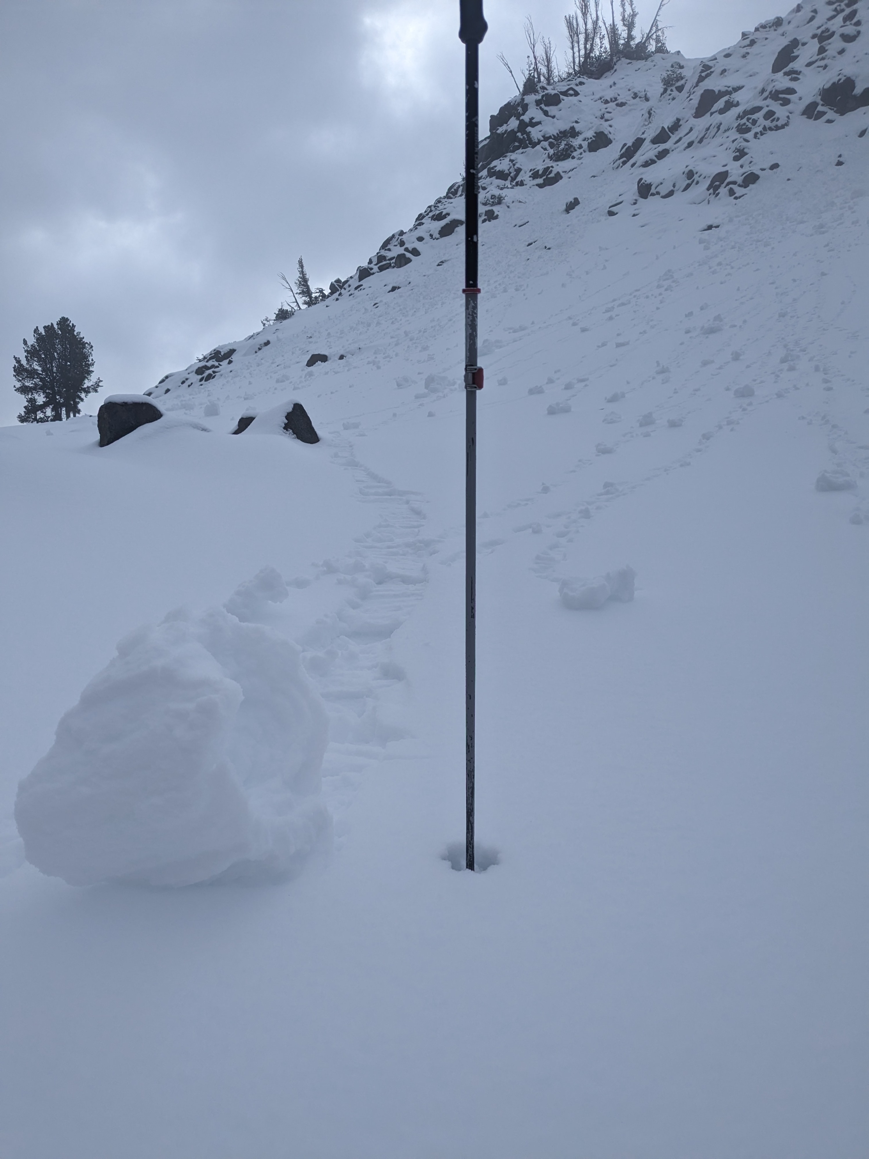
3 to 4'' of new snow fell overnight and into this morning in the Carson Pass area above 8000'. The rain/snow levels fluctuated during the storm with a rain crust within the new storm snow and the shallow snowpack consisting of all wet snow. Small roller balls also occurred due to rain on snow during the storm with rain up to at least 9000' in this area. At our snowpit near 8600', 8-9'' of snow existed with the previous weak faceted snow at the base of the snowpack becoming wet and gaining some strength. Moving into higher elevations and more wind exposed terrain we found wind drifts up to 2 feet deep. With the larger wind slab load above the existing faceted layer at the base of the snowpack, we were able to get unstable snowpack test results. Avalanches are a concern in these specific areas at higher elevations where wind blown snow now exists on top of the previous weak faceted snow.