
Quick report
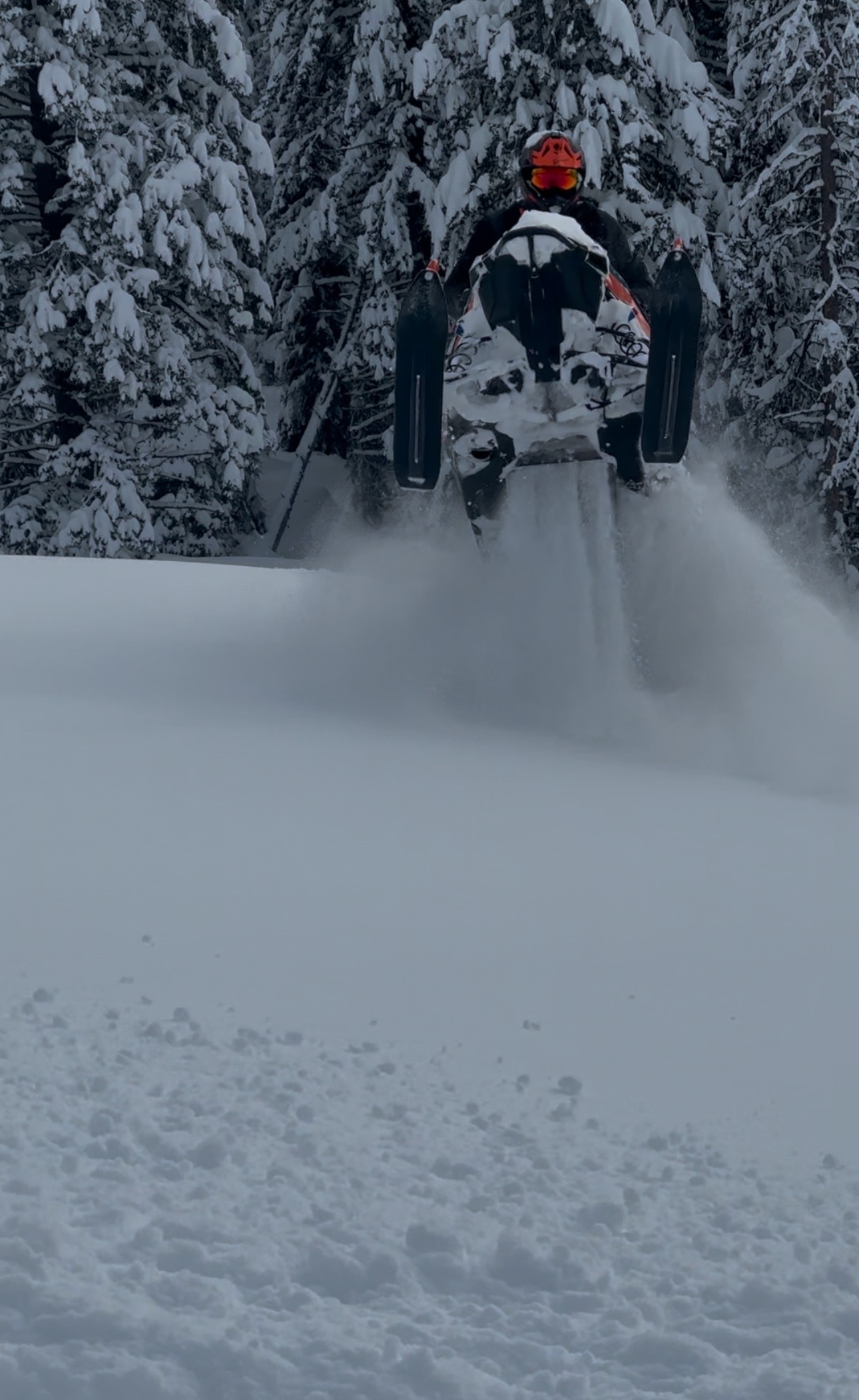
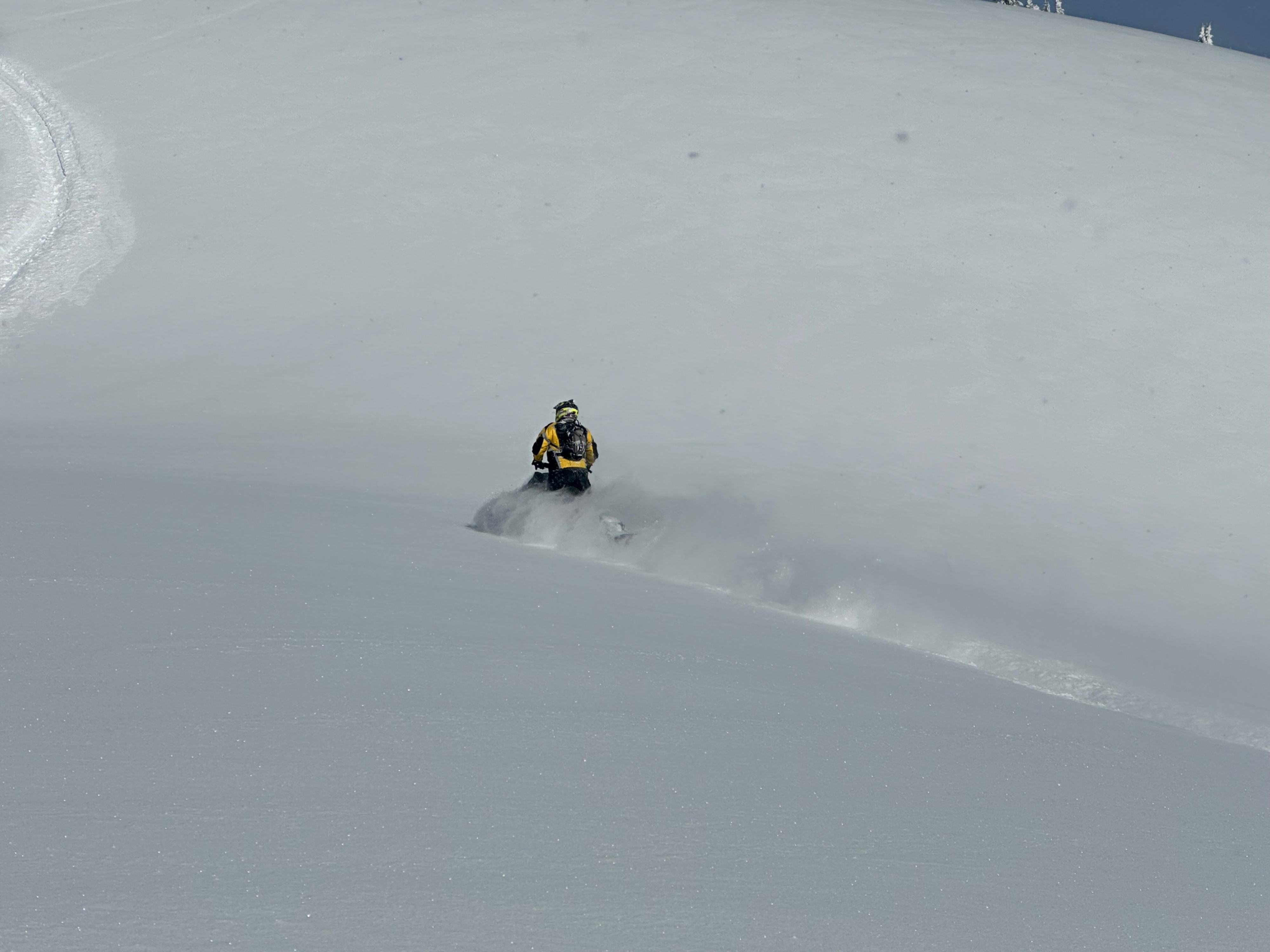
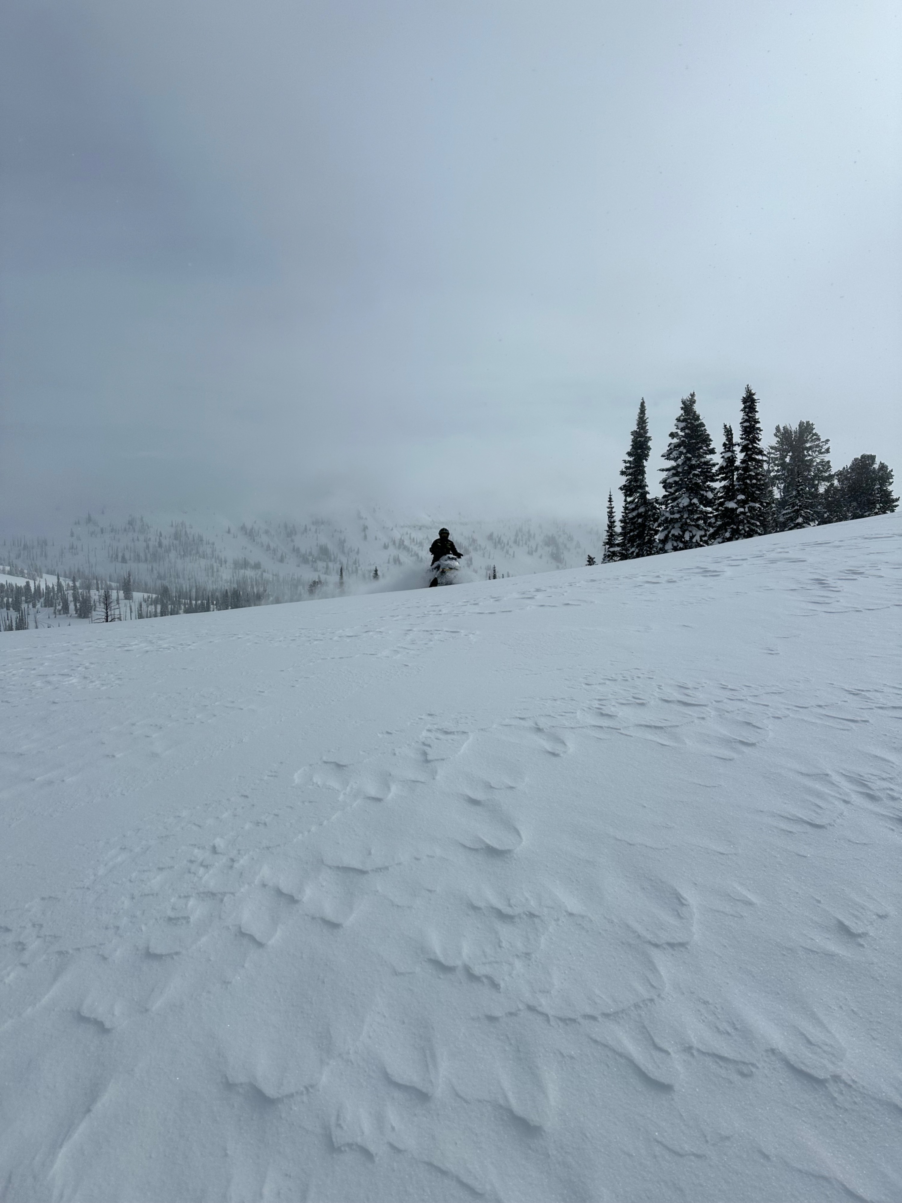
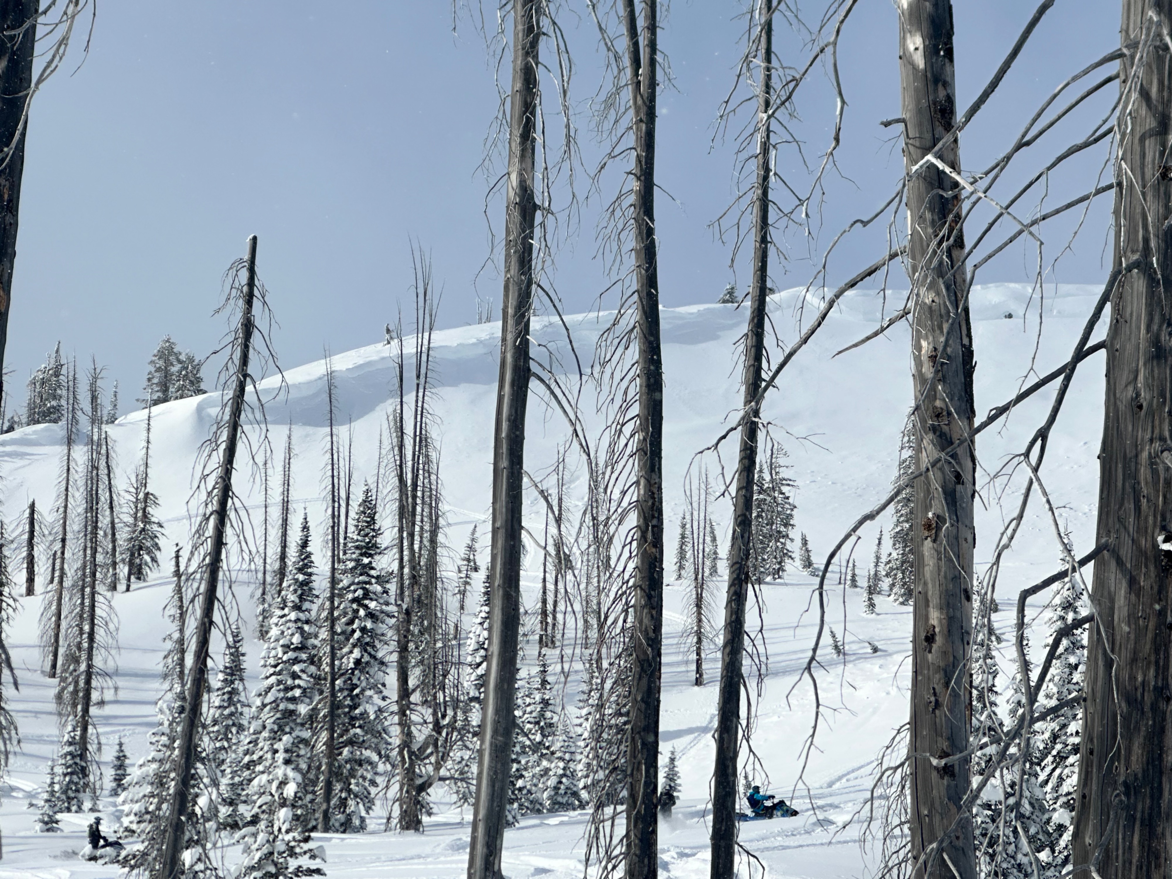
Over 11 feet of total snowpack. New snow totals between 2’ to 3’ between 5500 - 8000. Recent strong southerly winds above tree line developed wind slabs, N/NE cornice formations. Observations observed consistent with 2/8 bottom line concerns. Snowpack settled significantly (1 to 1.5 feet) between 2/7-2/8. Clear skies early - afternoon colder temps, light wind and 3” of new snow by late afternoon. Traveled cautiously and off slopes greater than 30 degrees.
Avalanche
- Size
- D2.5
- Aspect
- NE
- Trigger
- N
- Elevation
- 7200 ft
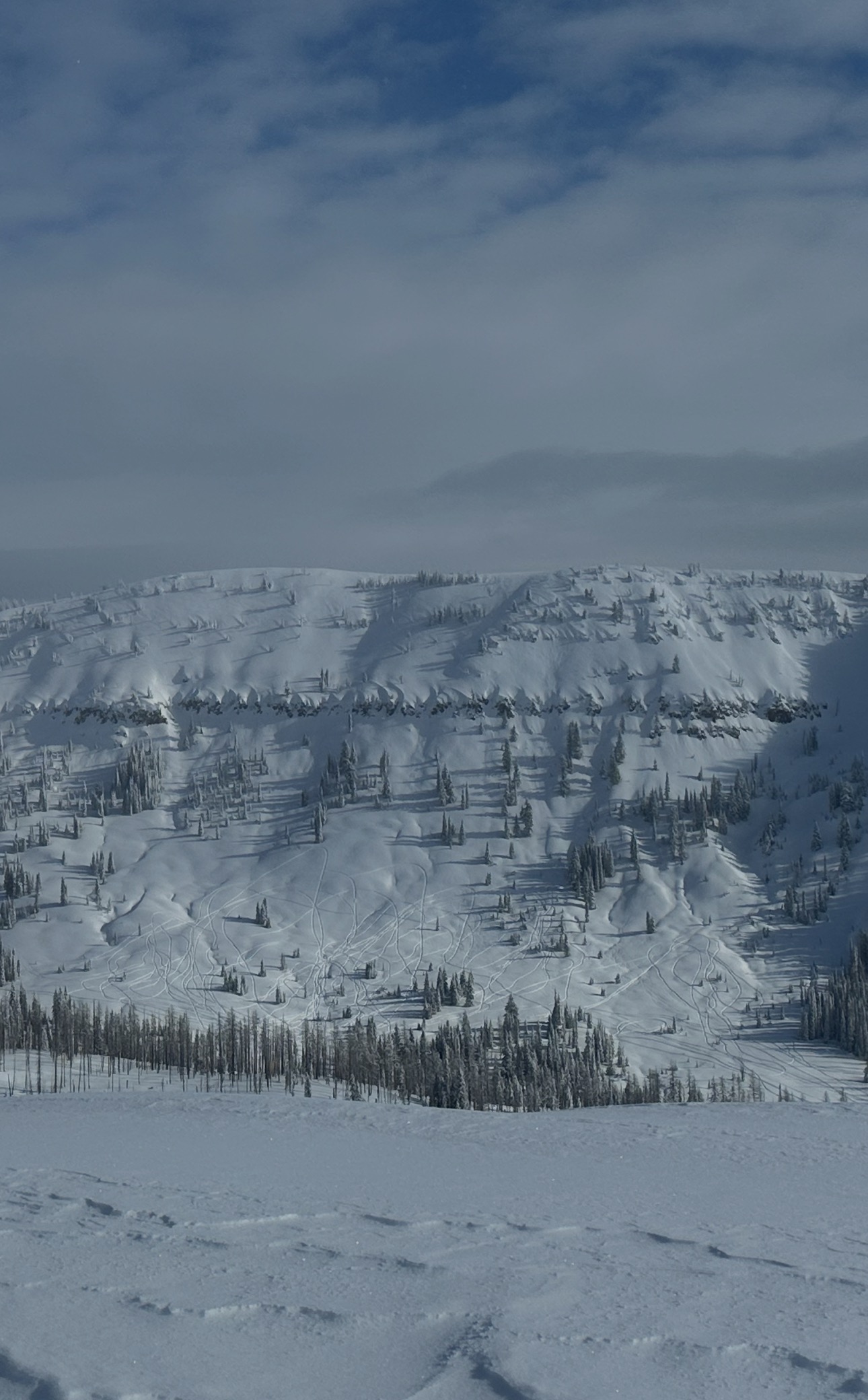
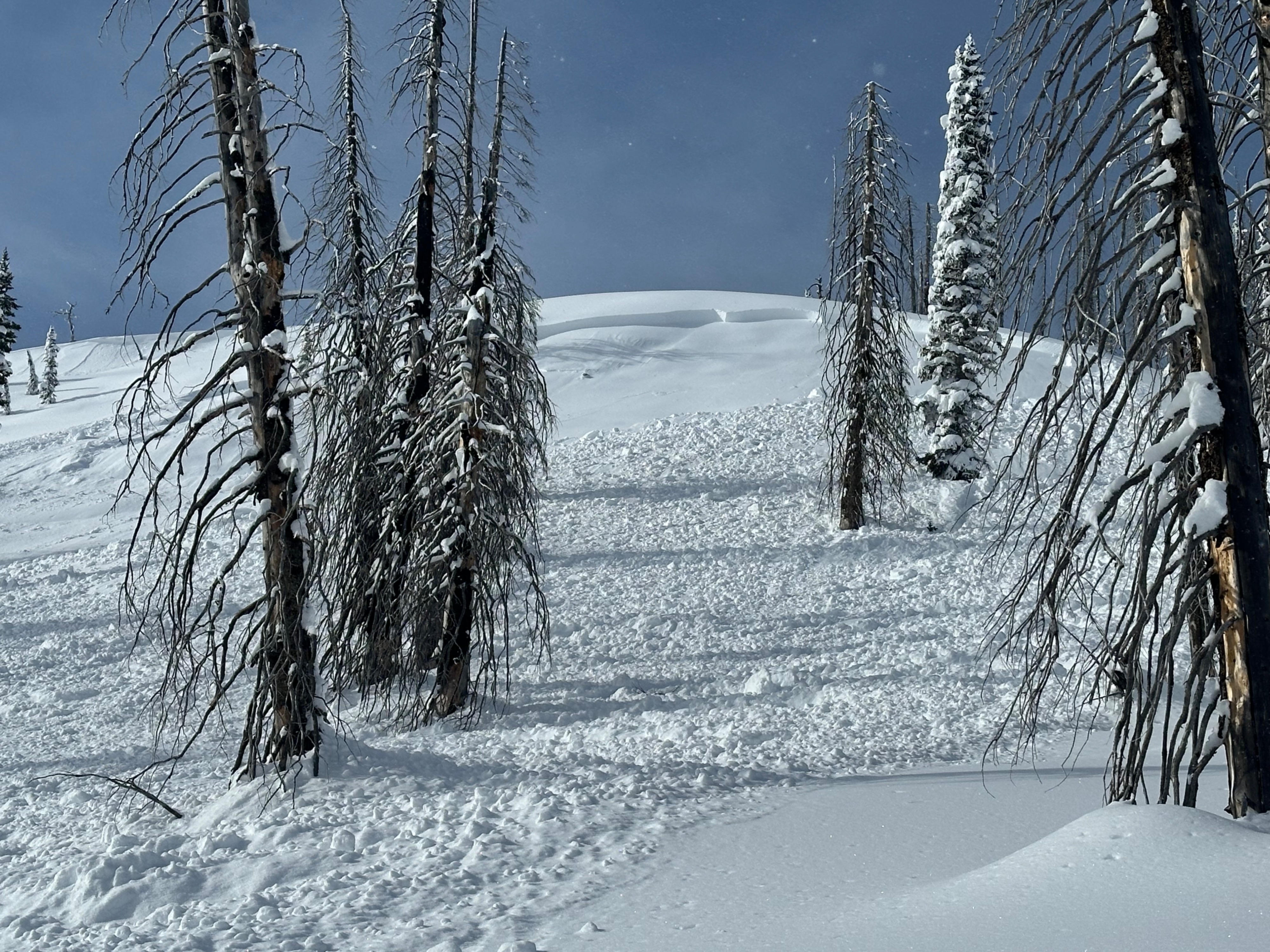
What appeared to be a very recent natural storm slab avalanche occurring late 2/7 early 2/8. 5’ crown approximately 50 yards wide. Over 200 yard runout on a N/NE aspect greater than 30 degrees near ride line. Hard to tell if it failed on January layer. Area typically undisturbed and known for facets. Significant snowpack settling overnight from recent storm.