
Weather
- Cloud Cover
- scattered
- Wind Loading
- none
- Recent Snowfall
- 0
- Snow Avail For Transport
- none
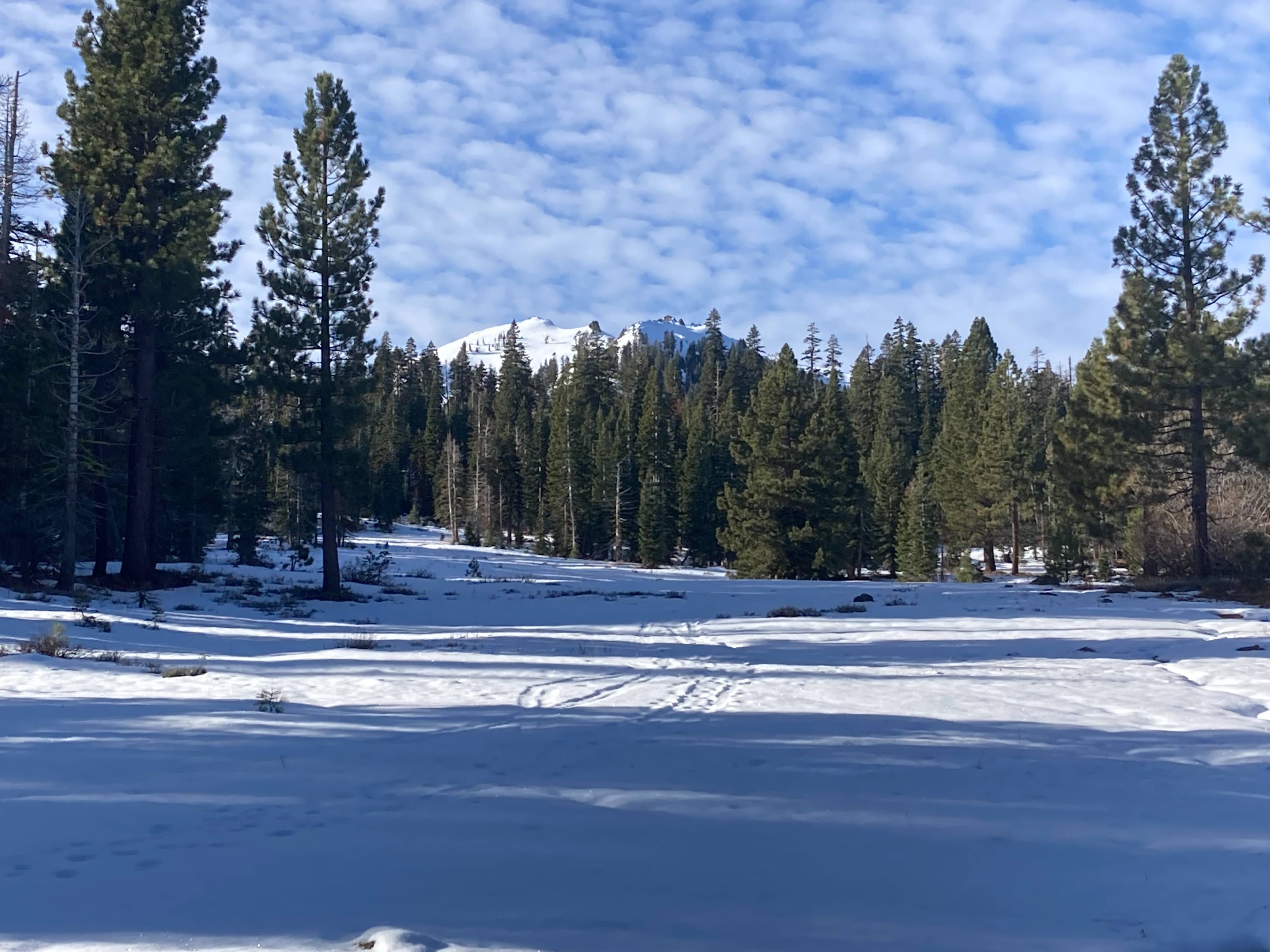
Mostly clear skies this morning with increasing clouds and winds into midday.
Snowpack
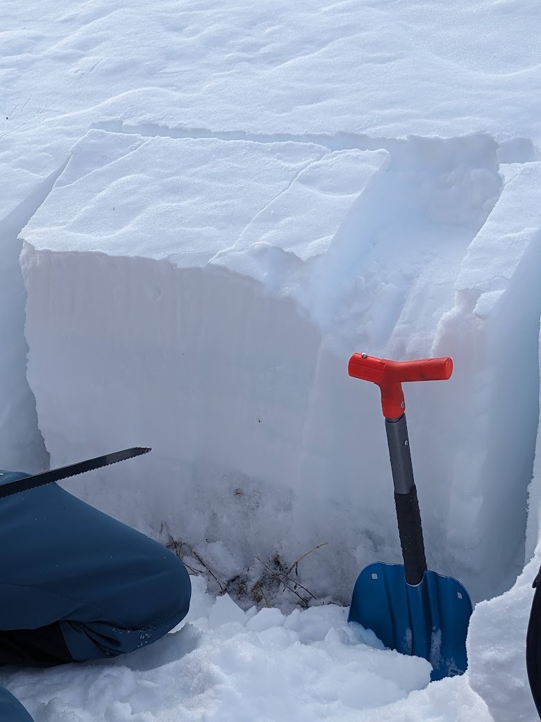
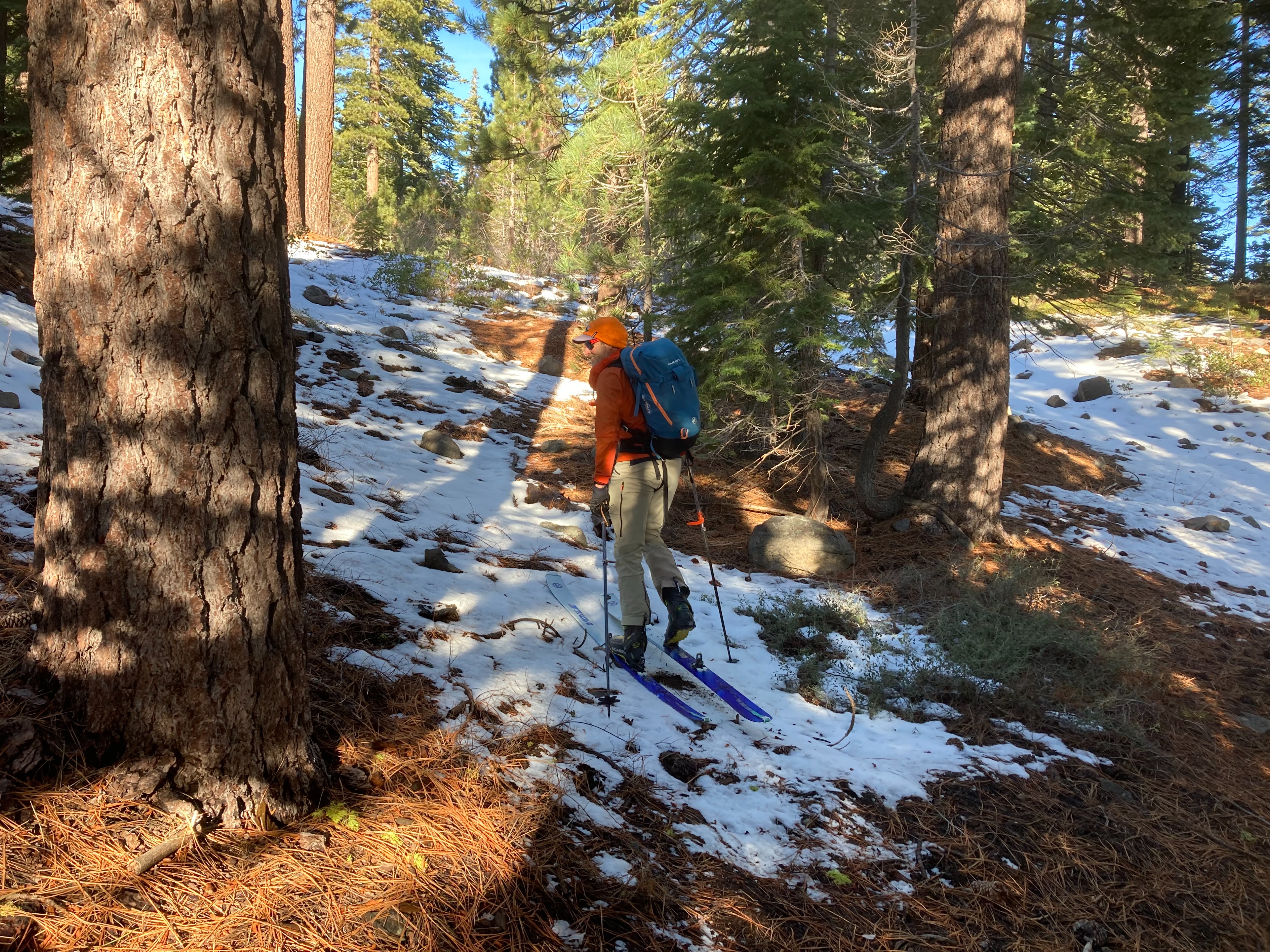
We went to Silver Peak today to look at the snowpack at different elevation bands. We dug multiple snowpits and did snowpack tests at different elevation ranges on northerly aspects where the previous PWL exists. Snowpits below 8000' showed a well bonded snowpack with so signs of unstable snow. At the snowpit at 8200', there was a more defined facet layer at the base of the snowpack. This layer was wet and much stronger than what we've been seeing at higher elevations. Snowpack test showed a sudden collapse with the CT, but no propagation with the ECT.
A surface rain crust exists in this area. On shaded northerly aspects, this thin crust has started faceting and decomposing and is not detectable in many areas above 7500'. These near surface facets will need to be monitored as storms are forecasted later this week.