
Quick report
- Collapsing
- Observed
We experienced multiple medium-sized collapses throughout the day.
Weather
- Recent Snowfall
- 45cm
- Snow Avail For Transport
- large amounts
The morning started out clear and crisp with clouds moving west to east throughout the day. It was overcast by 11cm and snowing lightly. Winds were calm throughout the morning.
Snowpack
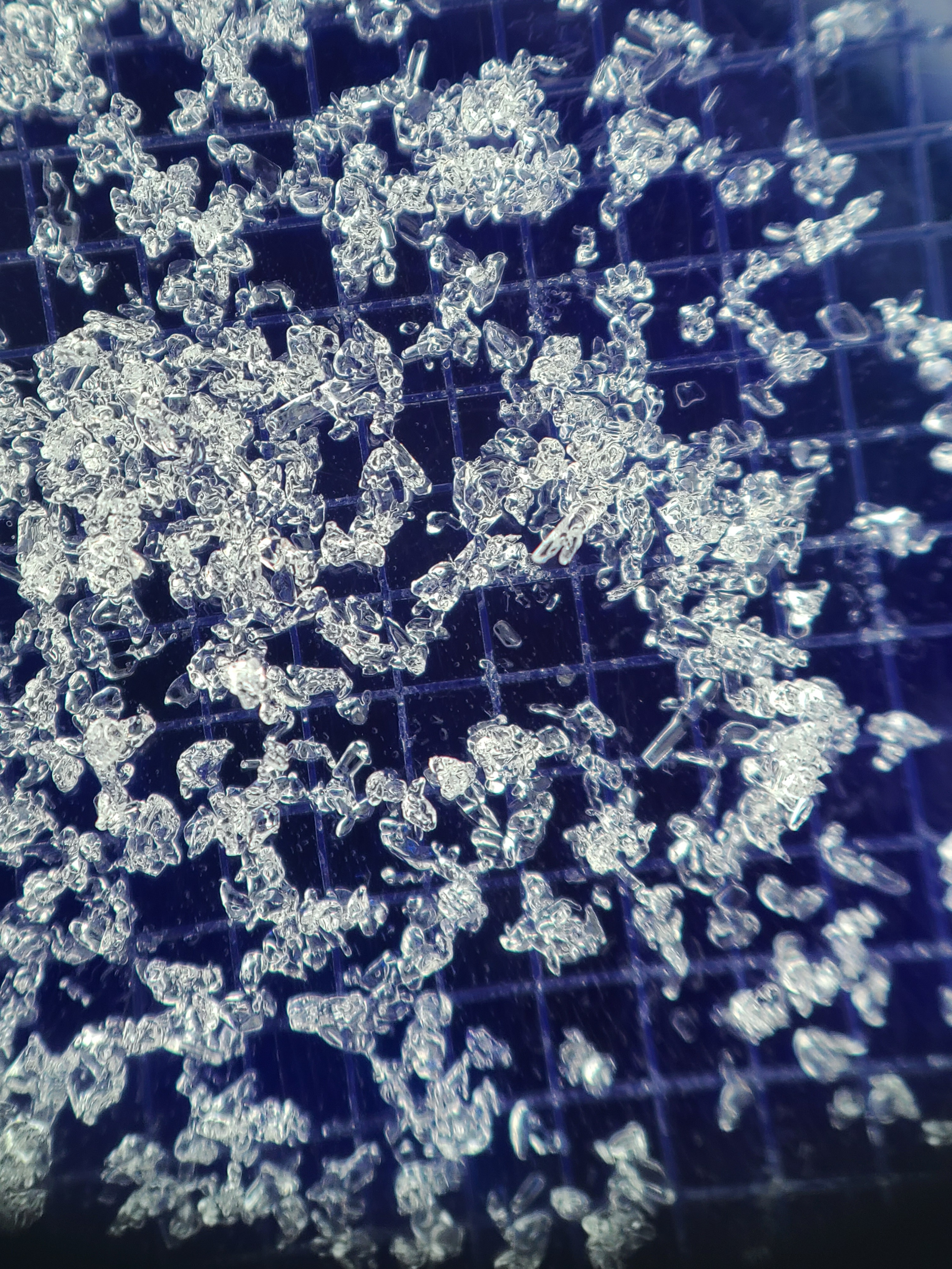
We dug a quick, hasty pit where we experienced our first snowpack collapse on a north aspect at 3600ft. We found 40cm of recent storm snow with a melt-freeze crust down 15cm from the mid-storm warm-up. This storm snow rested over the old snow surface, which was weak 1-2mm faceted grains over the 1/10 crust in this location. Compression test results failed suddenly on this layer. (CT12 SC ↓ 40cm)
We also dug a more in-depth snow profile at 4300ft on a north aspect.
Height of snow: 189cm
Height of storm snow: 45cm
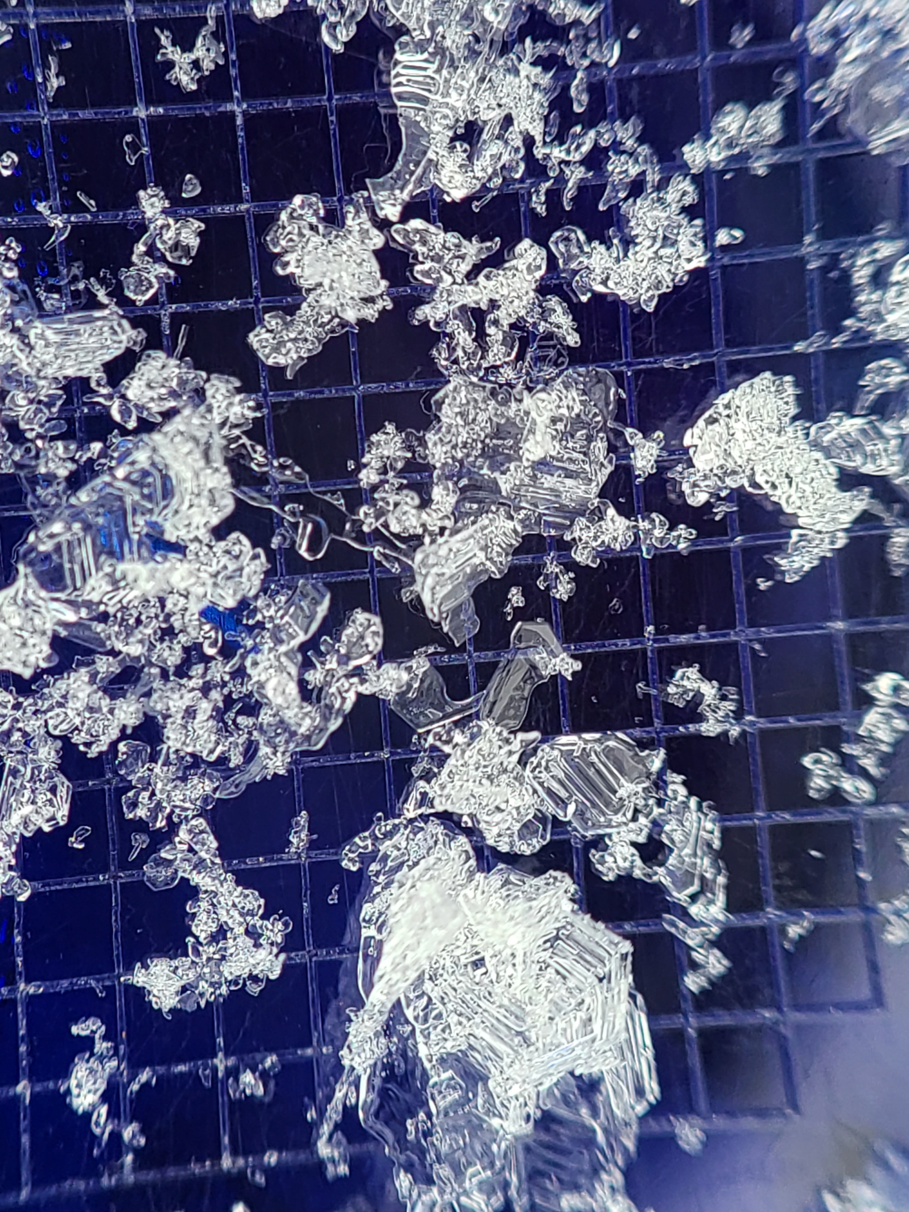
Snowpack Summary: The overall snowpack structure in the upper pack was very weak. The recent storm snow (F-) contained two thin, brittle melt-freeze crusts, all resting over the January Drought Layer down 44cm. The JDL was 1cm surface hoar with 1-2mm faceted grains below, over the 1/10 melt-freeze crust. The 1/10 crust is brittle and presented as a complex of crusts with weak snow in between and below. This weak snow was rounding facets that had experienced liquid water at some point. While stability tests were unremarkable, I suspect this is due to the lack of cohesion of the overlaying slab.
Stability Test Results
STM SP ↓23 ↓44
ECTN17 ↓23 ↓44
PST 75/100 SF @44cm (JDL or new/old interface)
Avalanche
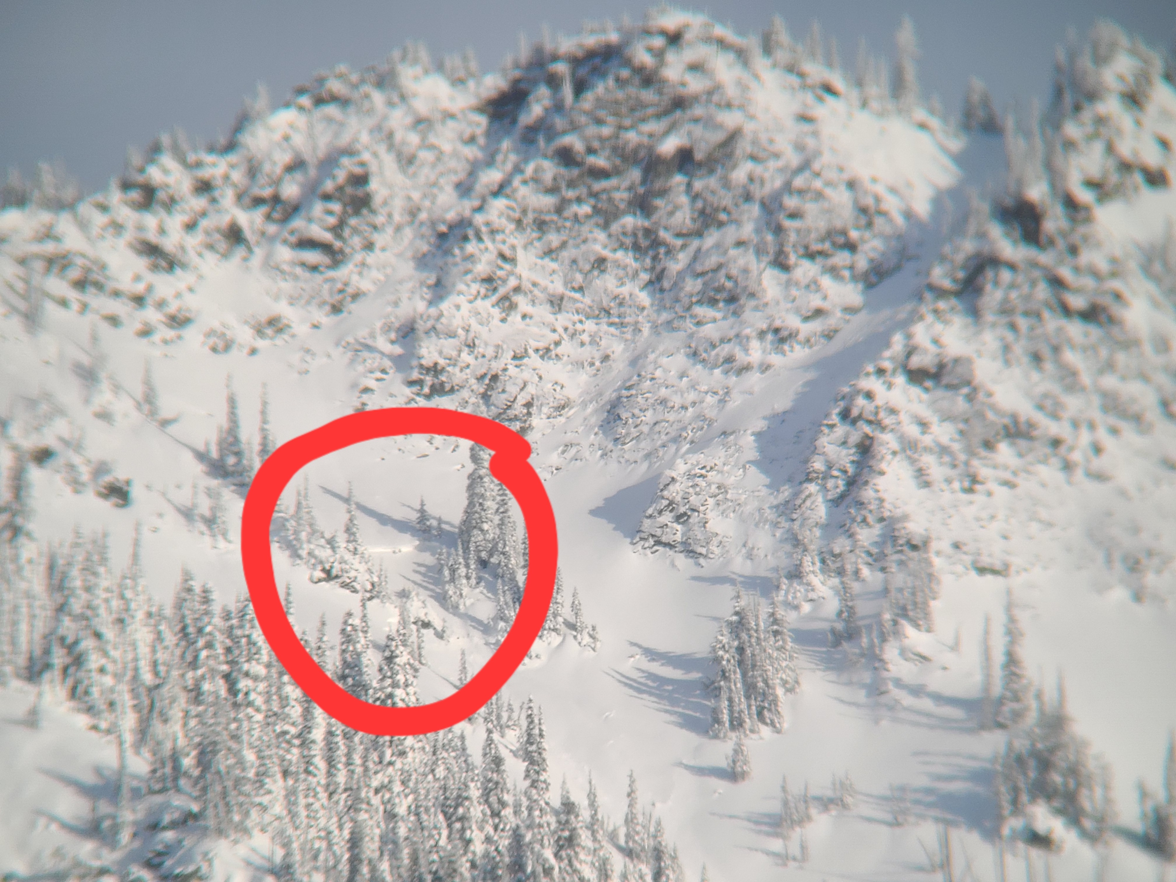
Surprisingly little natural avalanche activity. But we did observe one large, deep crown on the south aspects of Nason Ridge at approximately 5700ft.