
Quick report
Quiet day all around, the most notable observation being the lack of wind and wind transport up to 7000'. Layering in the upper snowpack above the earl-Feb crust isn't alarming but a layer of small facets - and maybe surface hoar in a few places - will be a consideration with future loading events. There is enough new snow to create small wind slabs or wet loose given enough input from wind or sun. In Glacier Creek, there isn't enough snow at low elevations to allow for any level of avalanche danger.
None other than minor cracking in a few ridgeline features.Weather
- Cloud Cover
- broken
- Wind Loading
- none
- Recent Snowfall
- 10cm
- Snow Avail For Transport
- moderate amounts
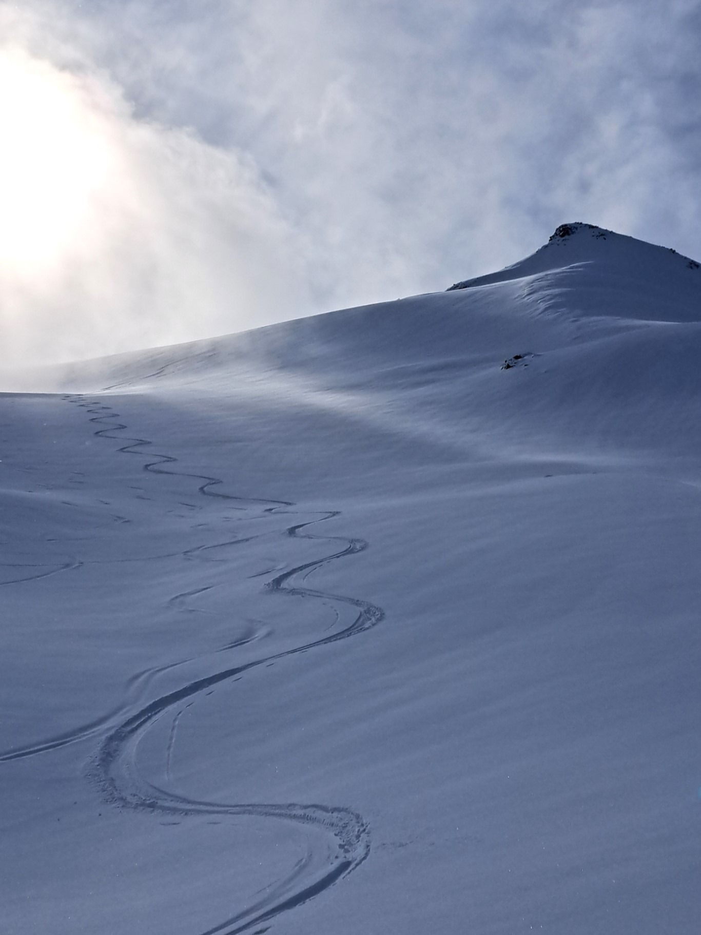
Obscured skies transitioned to broken at 10:30 allowing for periods of good visibility up until 14:00 when it shut back down. Snow showers mixed with sun breaks, maybe 1-2cm through the day. Calm with light winds picking up from the west in the afternoon. No wind transport.
Snowpack
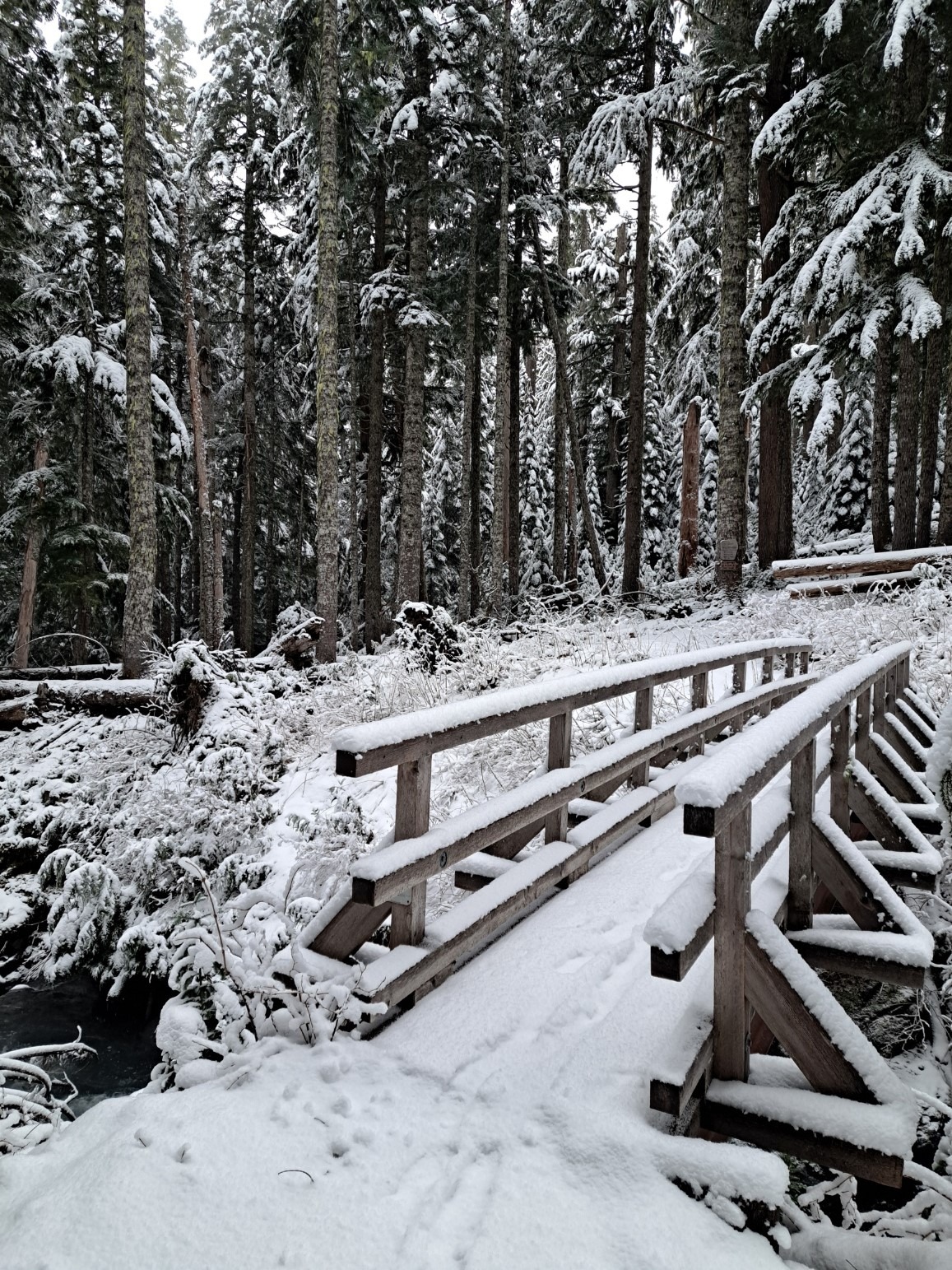
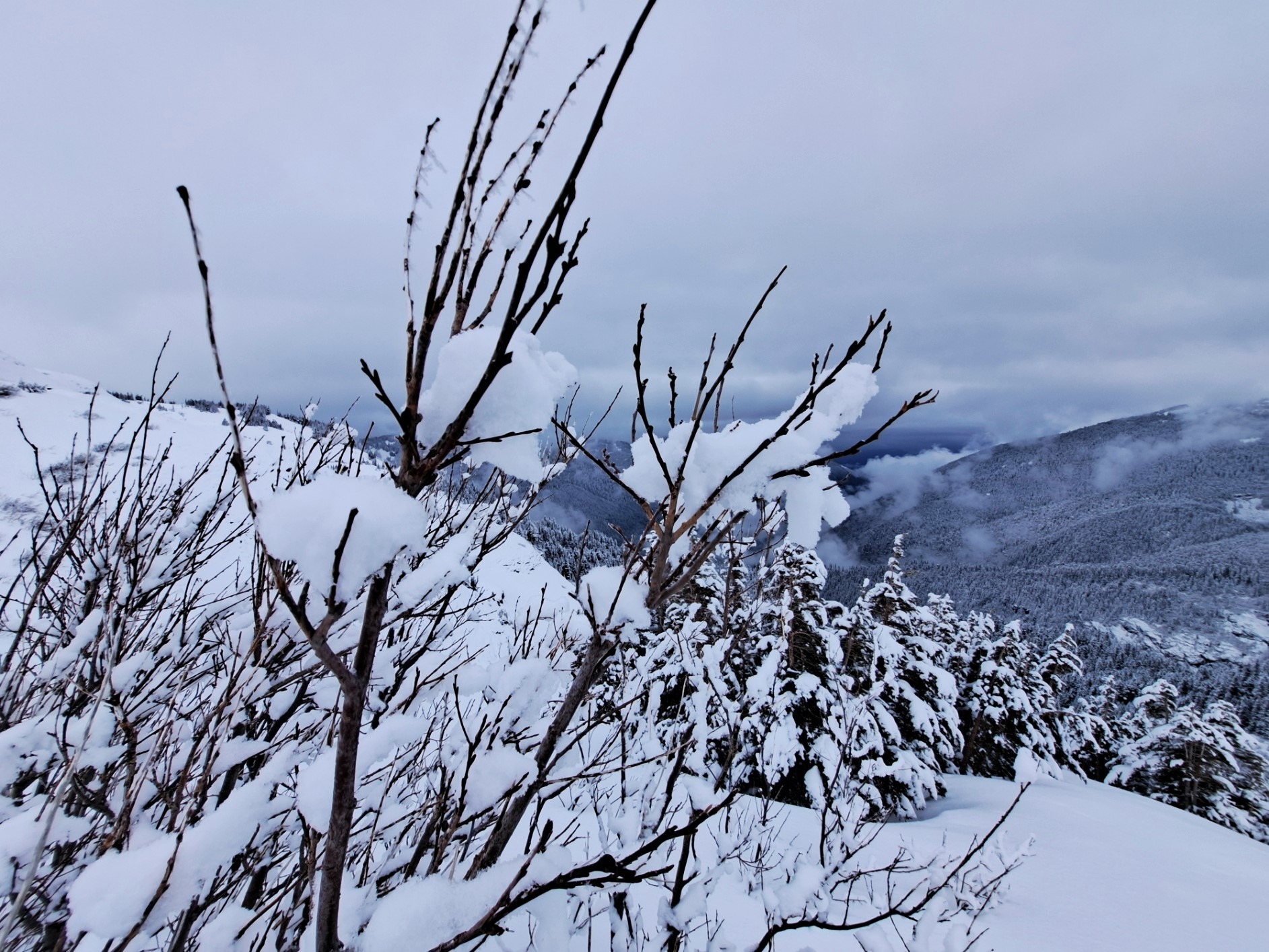
10-12 cm of F and 4F new snow last night and this morning - some graupel on the surface - from 3700' all the way up to 7000'. A few old wind-loaded pockets to 60cm but most upper elevation locations had 15-30cm of recent new and wind-drifted snow over the early-Feb melt-freeze crust. 5-10cm new snow over crust at 5000'. Variable bond of new snow to the crust.
In many locations there is a 5-10cm layer of mixed rounds and facets to 1mm above the crust. Tilt tests and shovel shears didn't produce much in the way of either clean or easy shears in this layer - or any other thin new snow layers above the early-Feb crust.
Avalanche
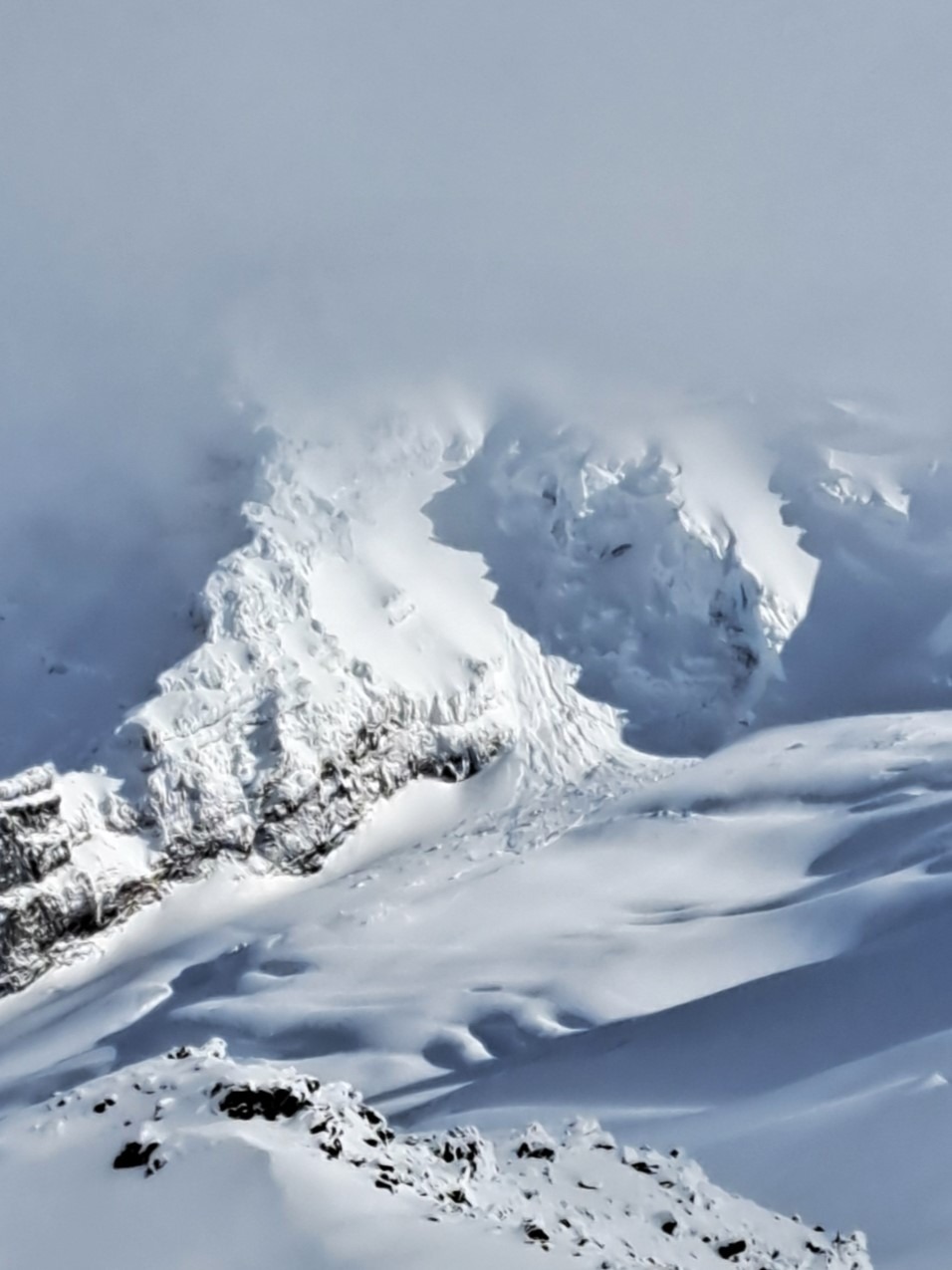
No new avalanches other than a very large icefall off the Roman Mustache.