
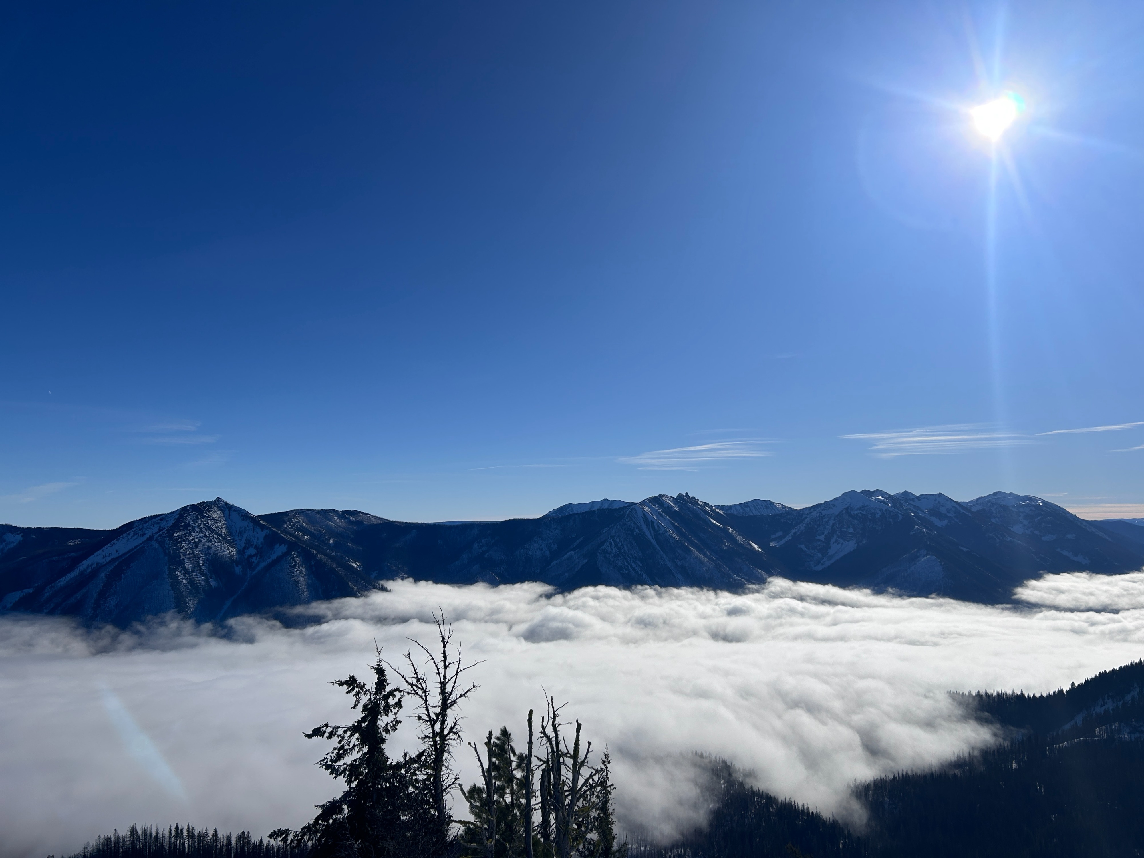
Quick report
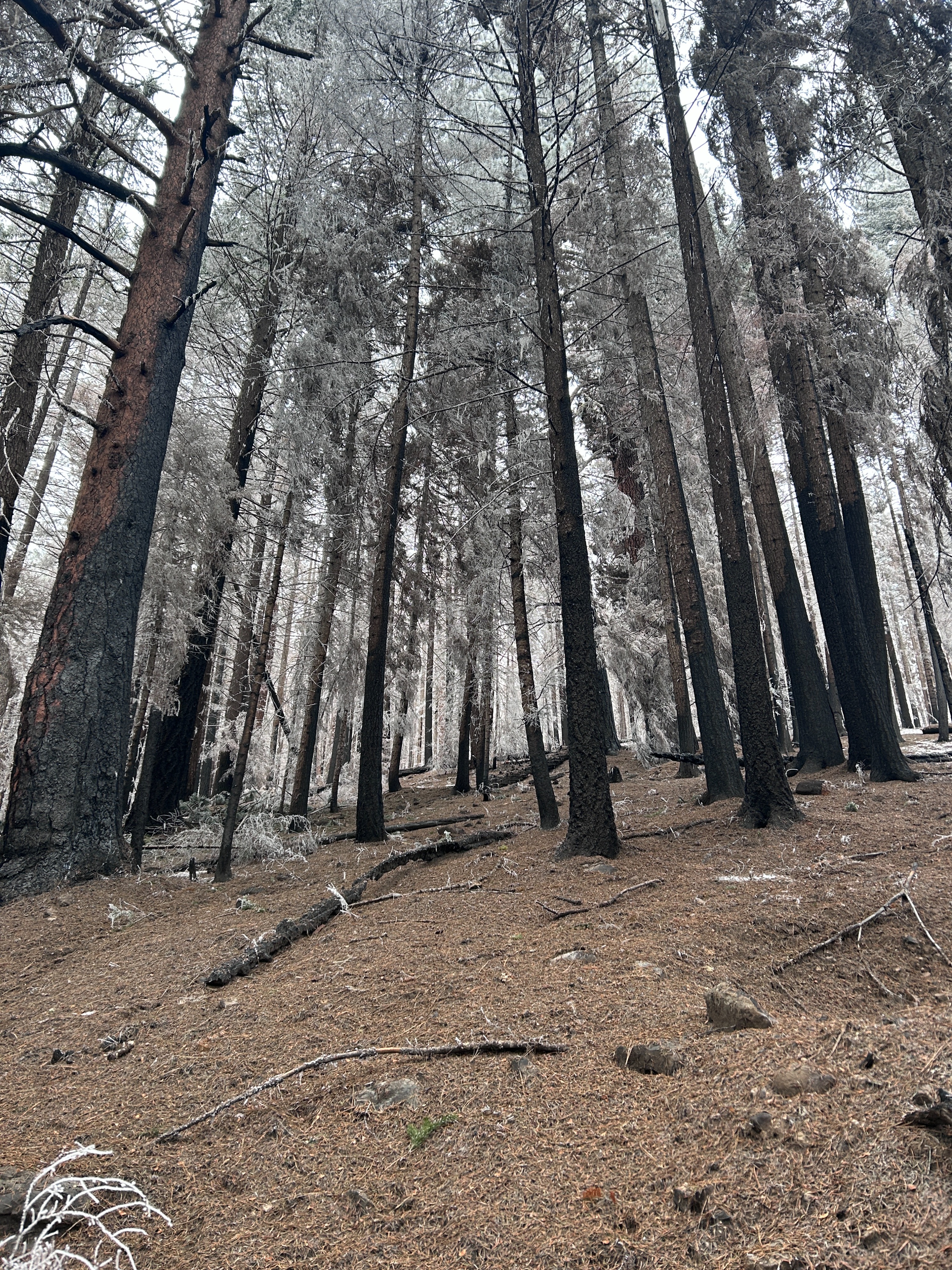
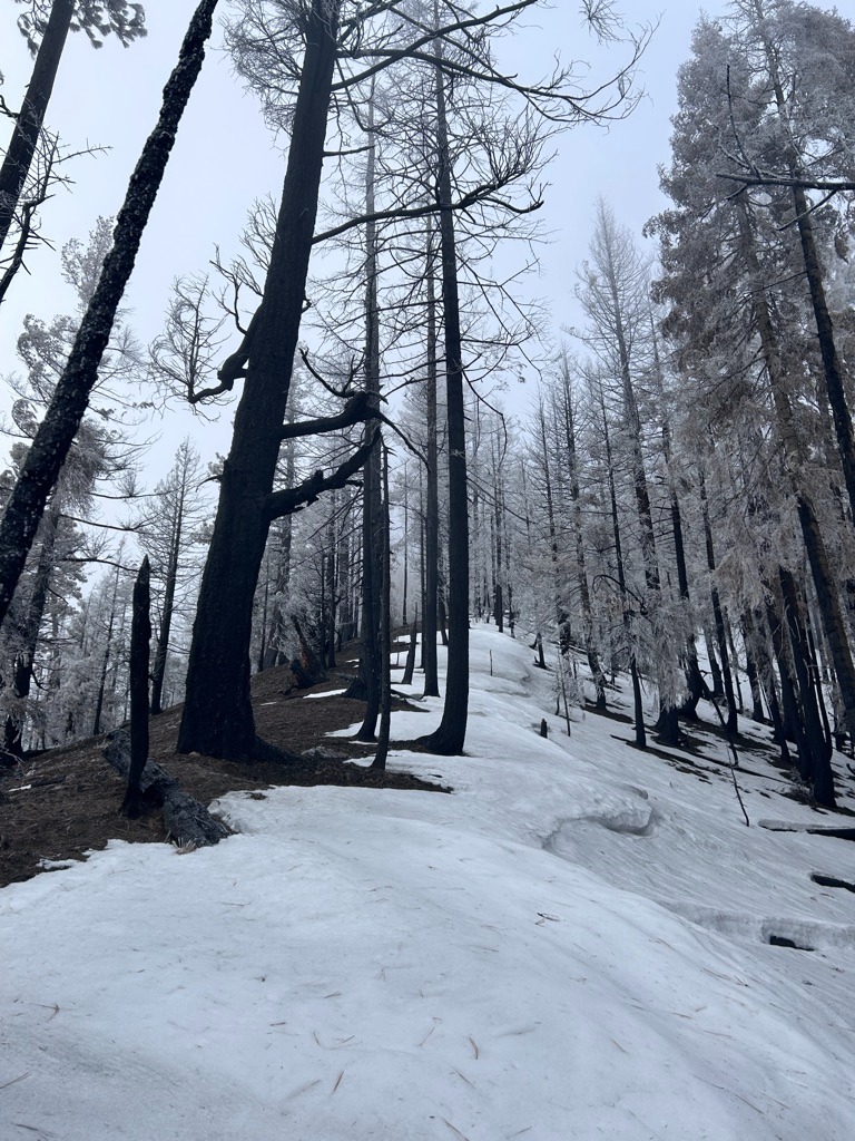
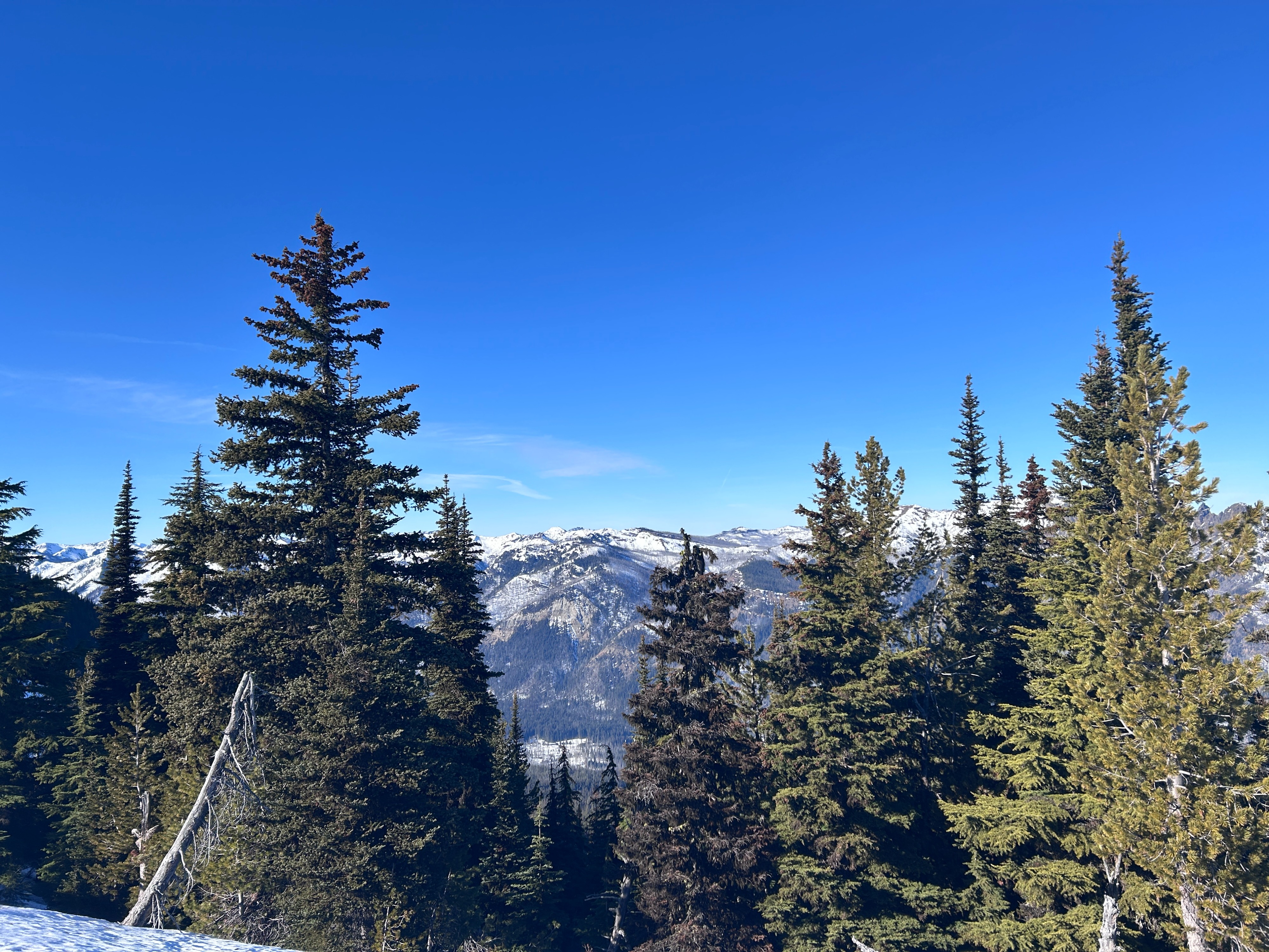
The East South zone is definitely looking rough after so many days of high pressure. Dry ground, ice, and crusts dominate the snowpack, no matter what aspect or elevation you're on. The burn in this area is also not helping the snowpack hold on. Some good news is that this area escaped the rain that much of the forecast region experienced a week and a half ago. And as always, getting above the inversion layer and into some sunshine is good for the soul.
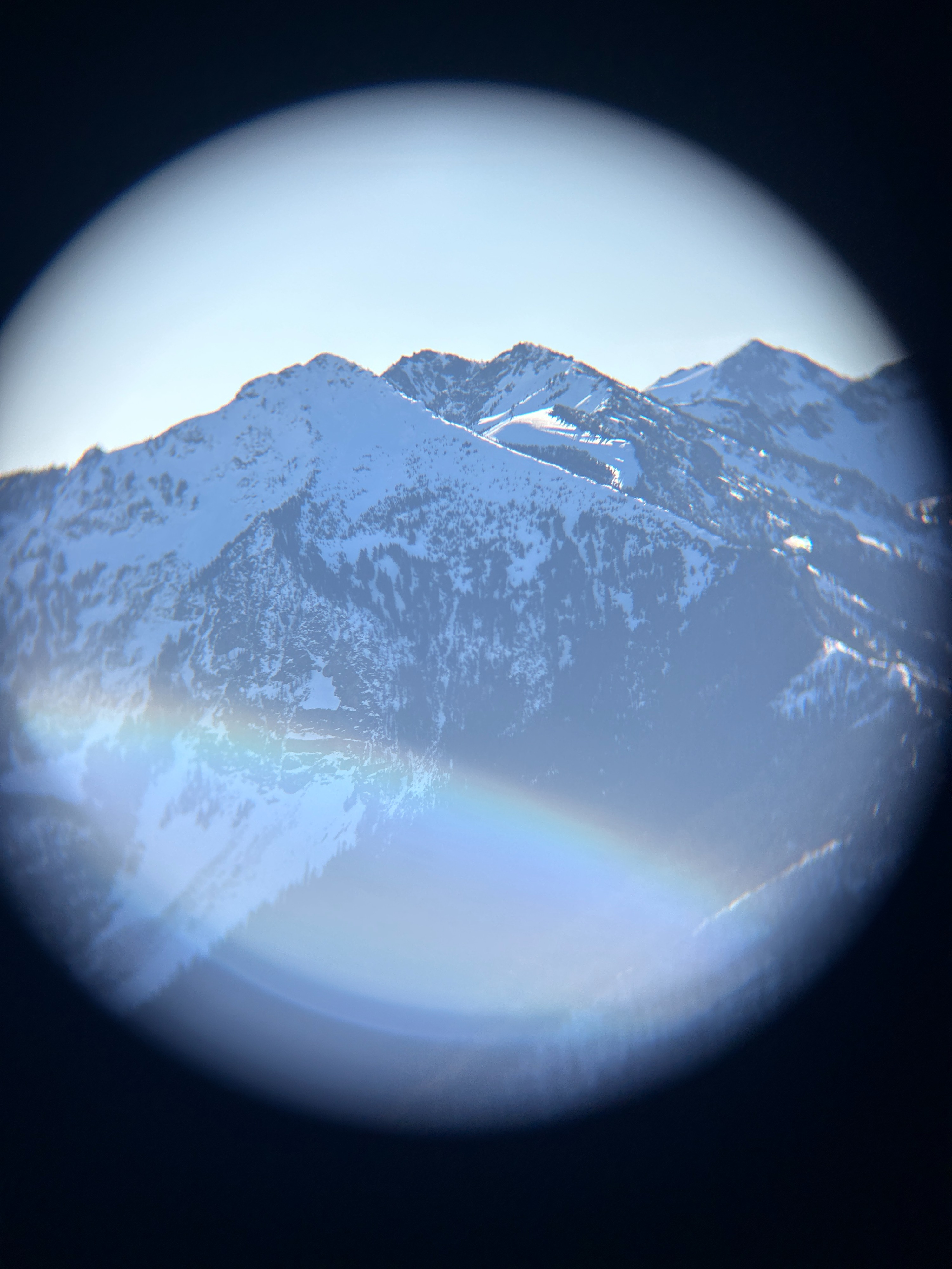
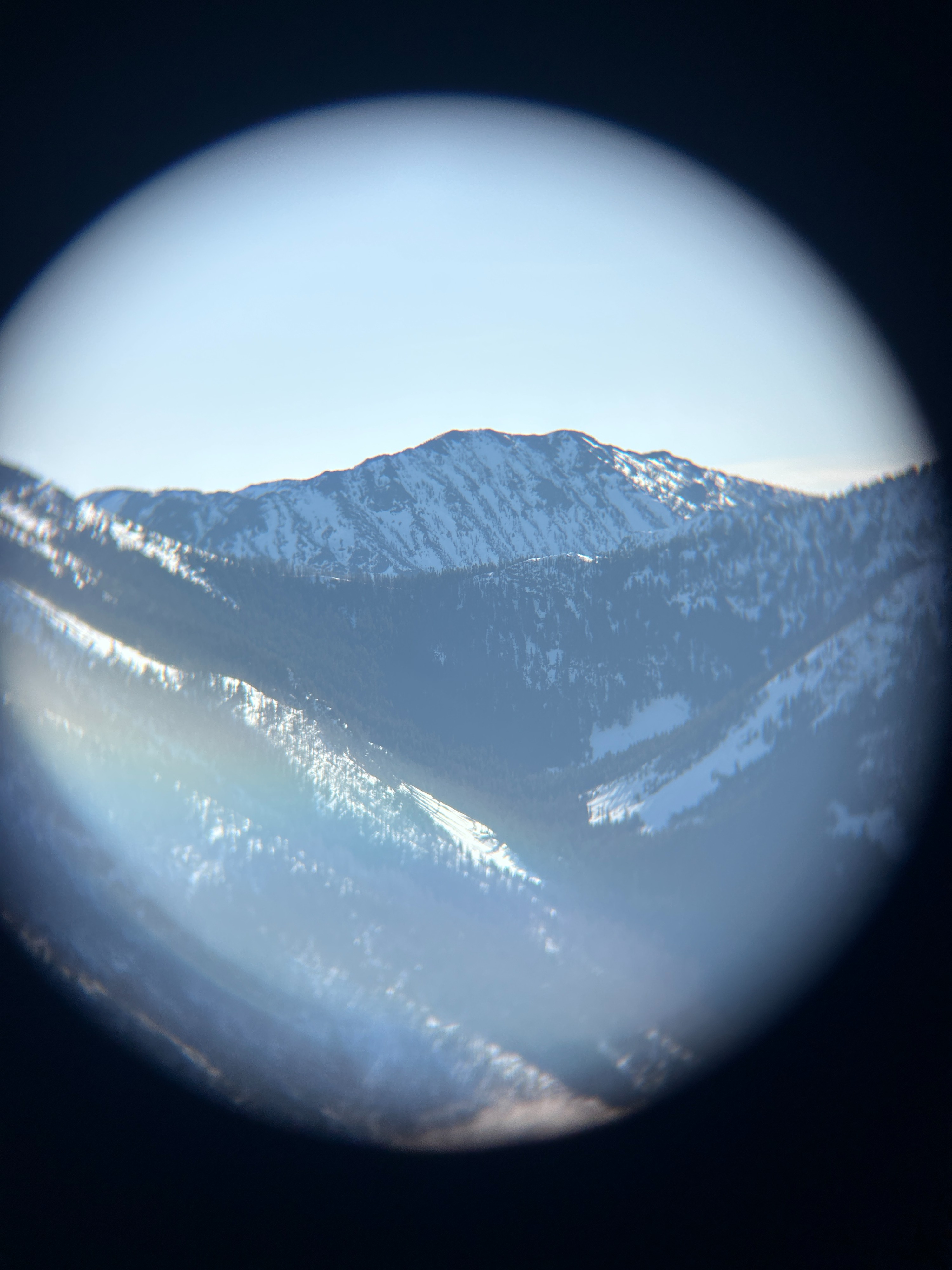
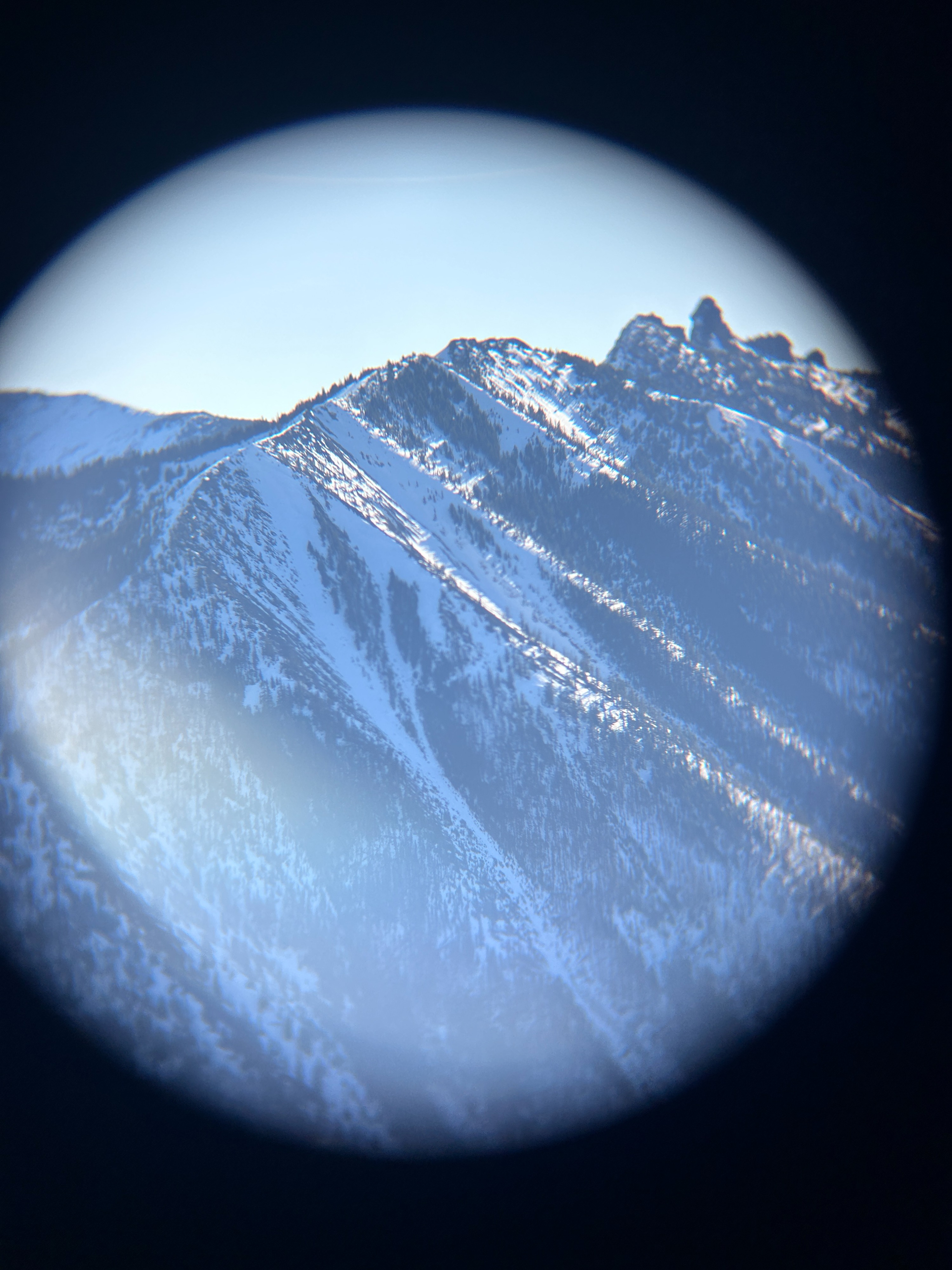
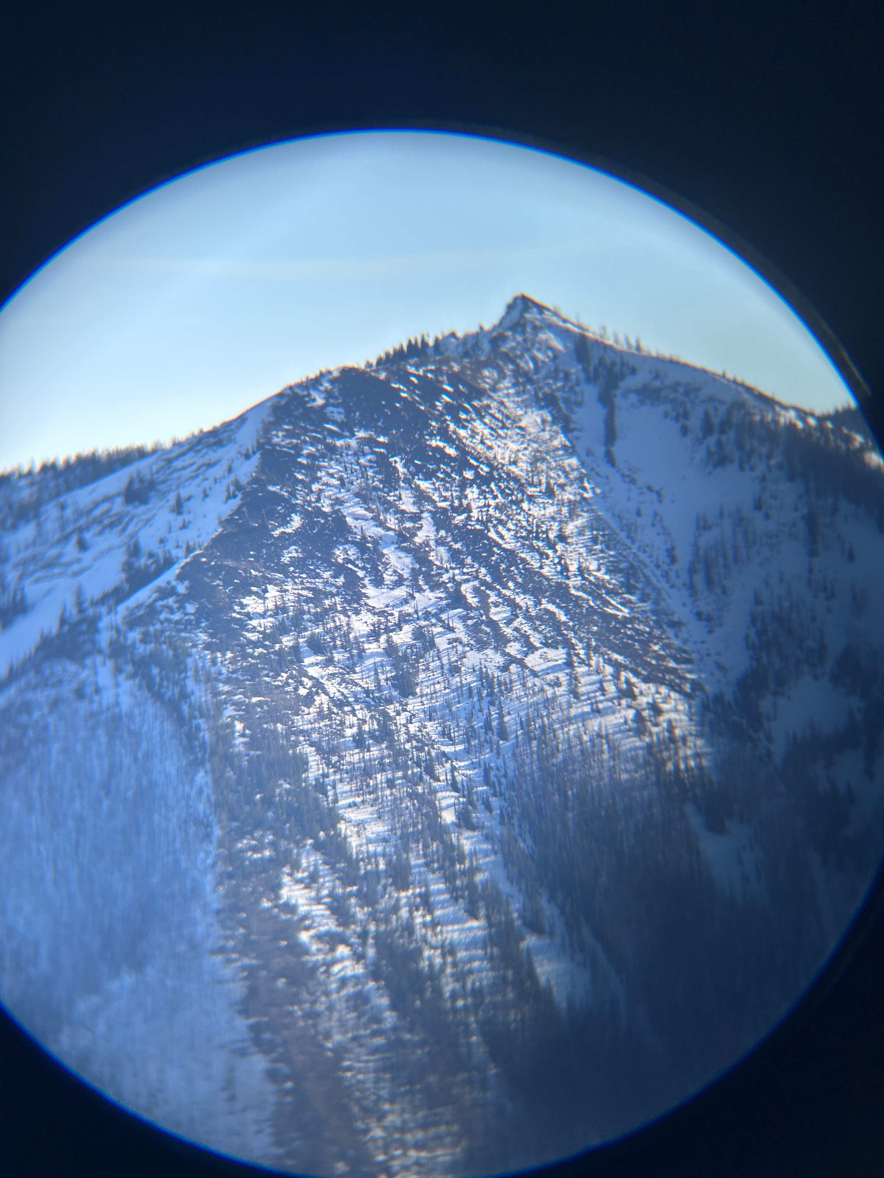
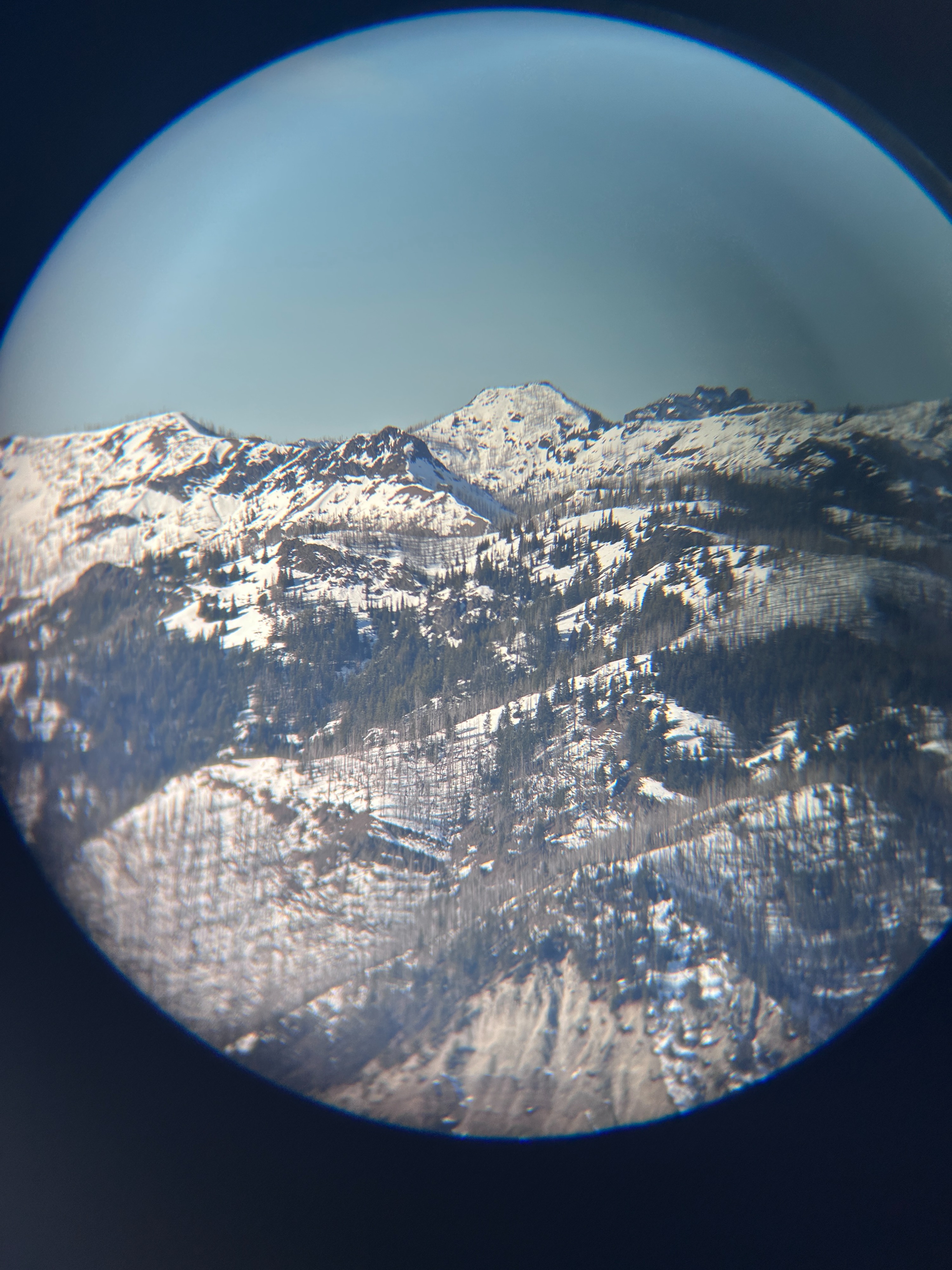
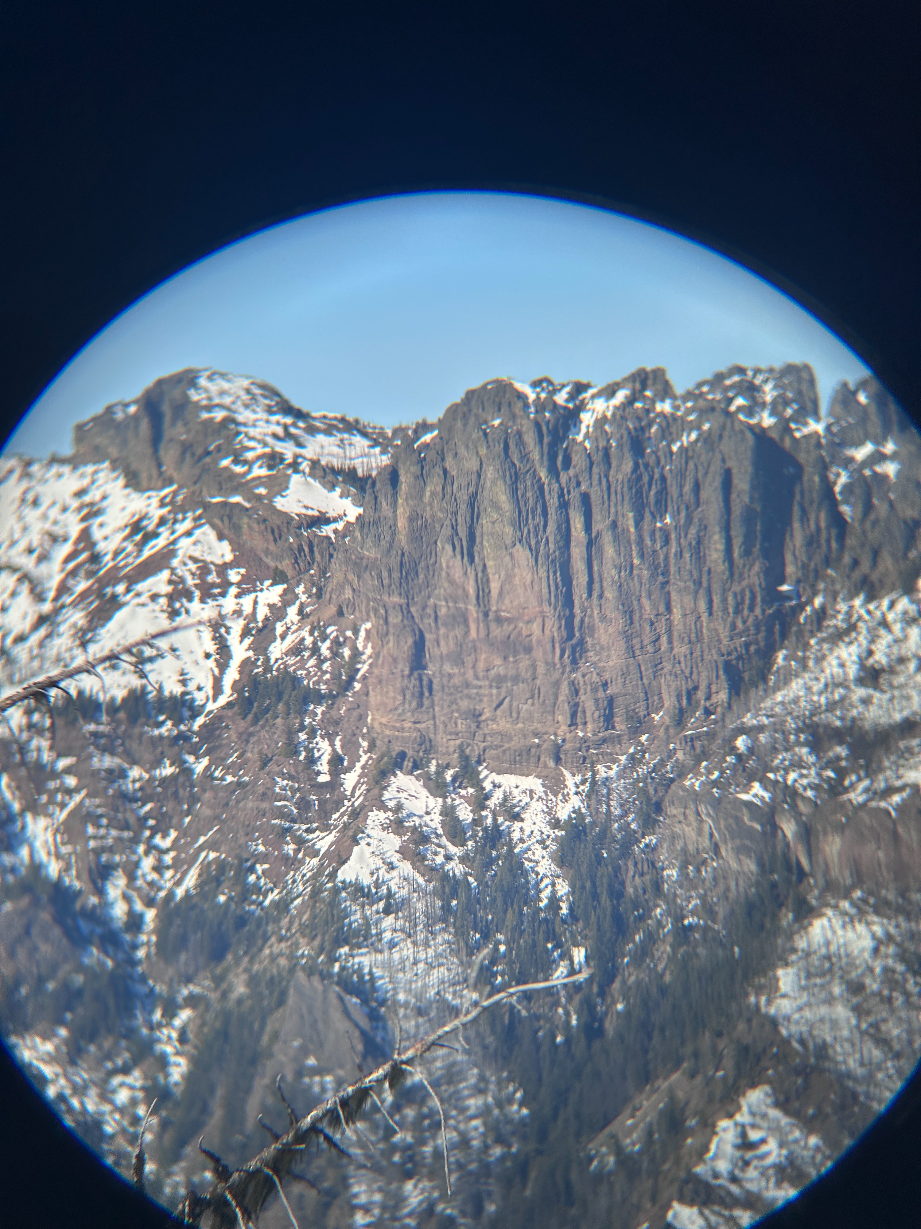
Also notable was the lack of old avalanches observed in surrounding terrain. Maybe I wasn't looking closely enough or everything was just too far away but I could hardly find any evidence that the snowpack had warmed and weakened in the zone.
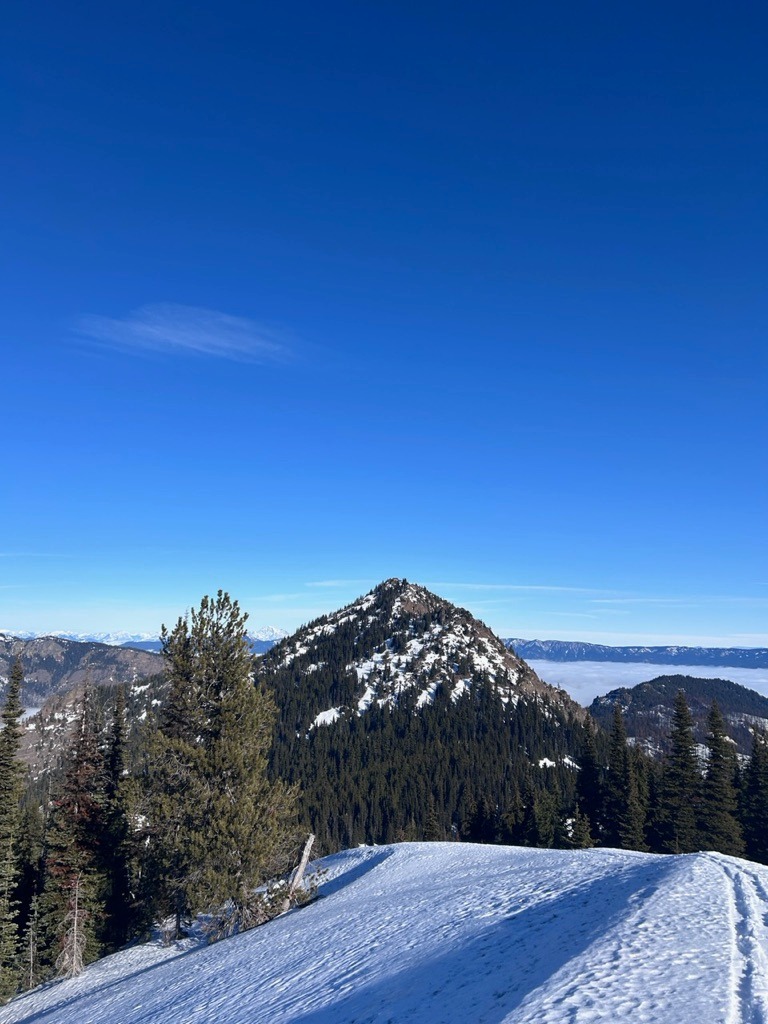
I glassed terrain in all directions from the summit of #6 and did not spot any old avalanches. Some old, extensive rollerballing could be observed in a few locations.Weather
- Air Temp
- 21-39
- Cloud Cover
- clear
- Wind Loading
- none
- Recent Snowfall
- 0
- Snow Avail For Transport
- none
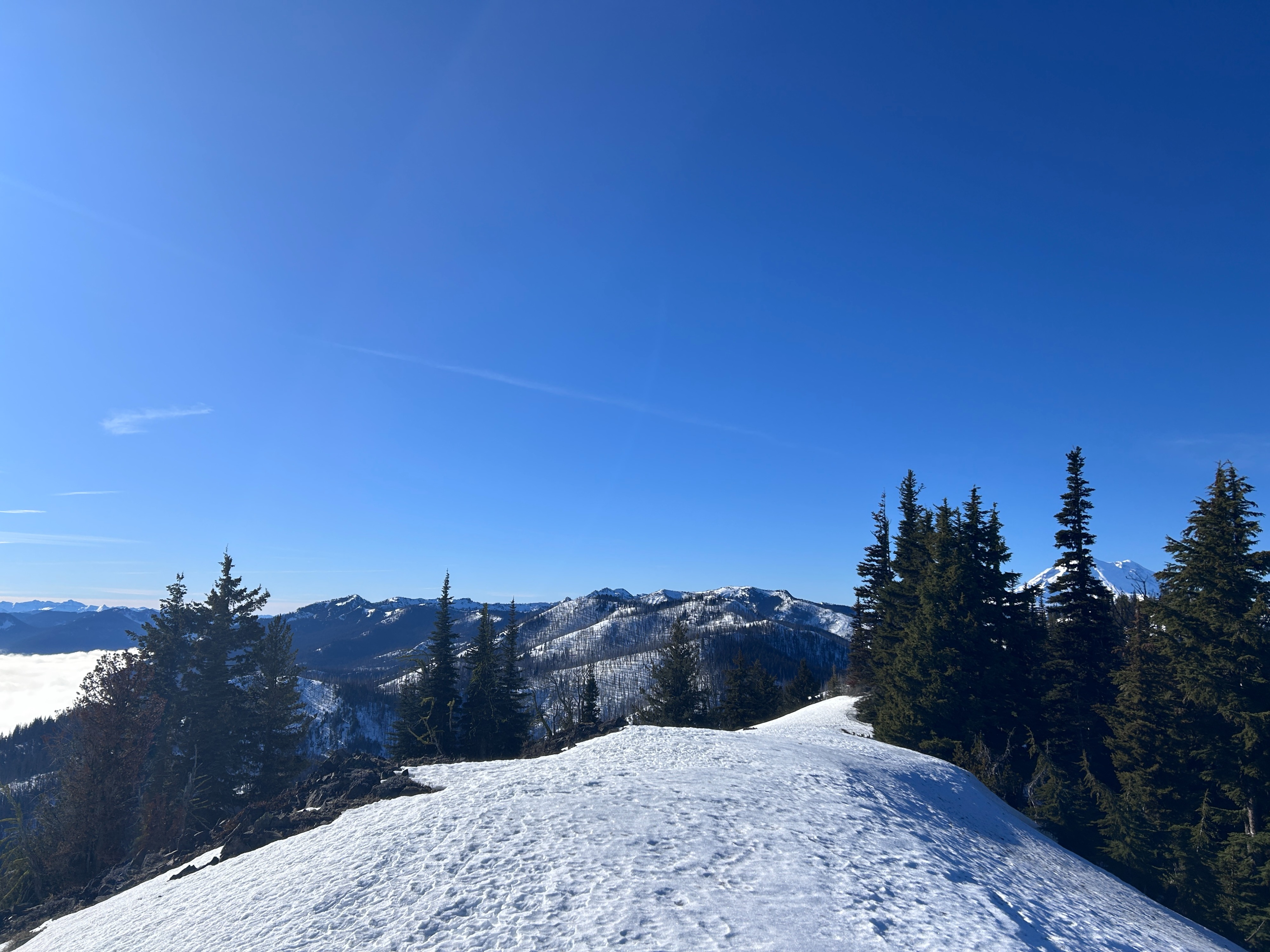
The temperature inversion and resulting cloud bank hangs on up to 4500 ft. Above this, temperatures increased quickly and the sun shone strong. The wind was calm and from the SE.
Snowpack
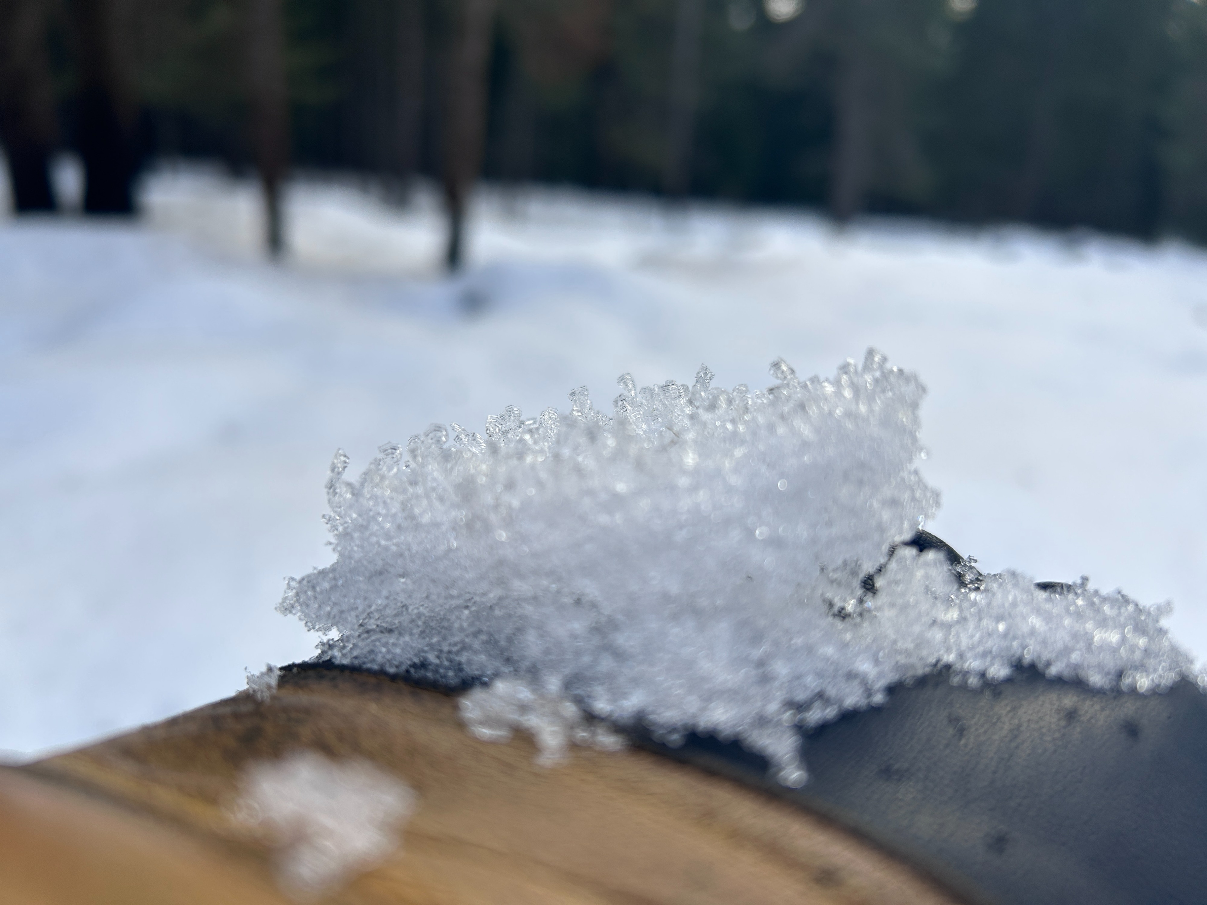
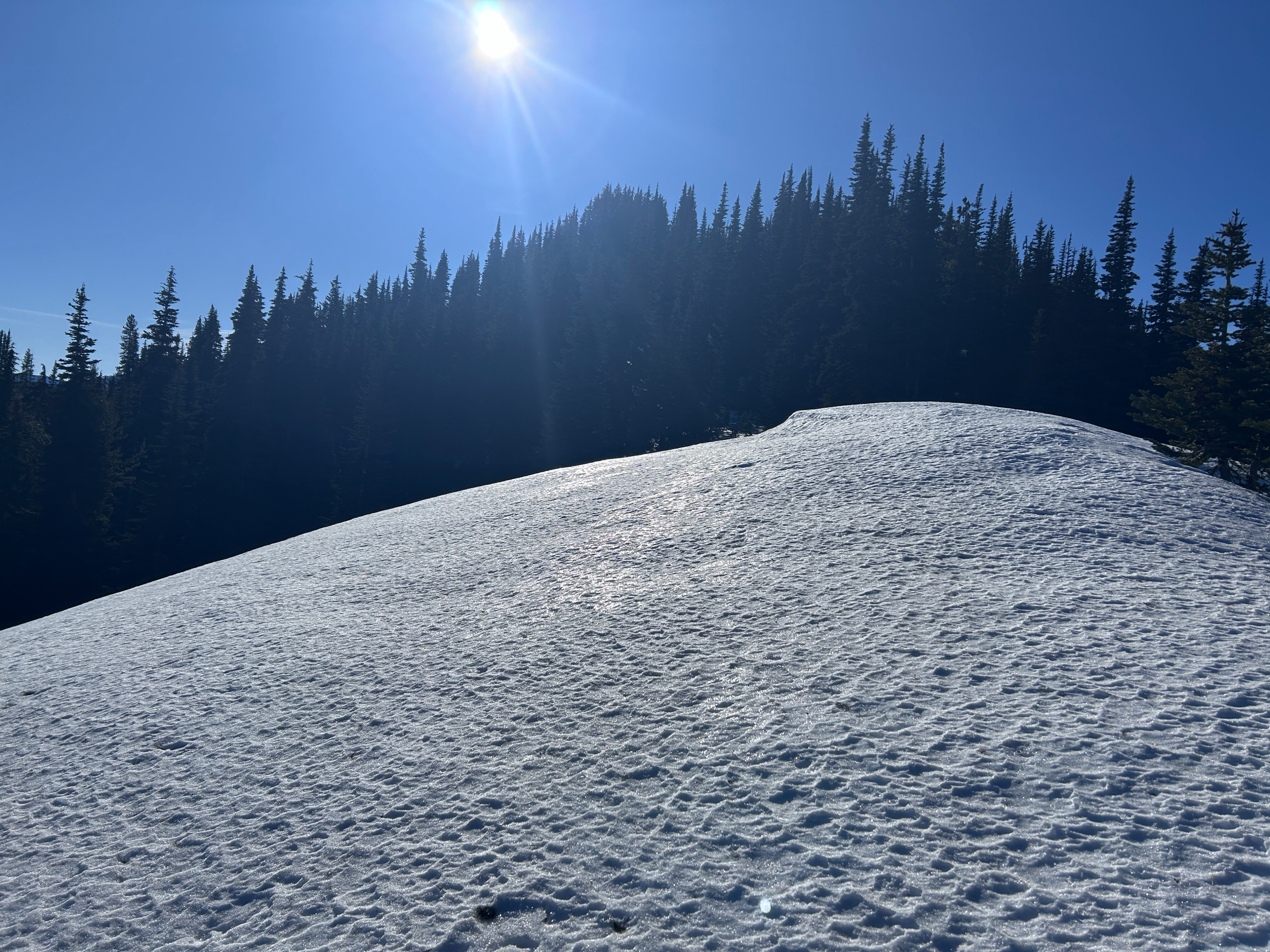
I ascended terrain that was largely south facing. There is not consistent snow coverage from the road to 4500 ft. I suspect that more north facing may be in a similar state of disrepair. The snow that does exist is 20-30cm (8-12") of breakable crust extravaganza. Widespread surface hoar development was also observed
From 4500-5500 ft, you would still run into the occasional dry patch but travel was much more straightforward overall. Surfaces were still very breakable crust-y as well as hard ice underneath trees. Average depths increased to 40-60cm (16-24in). Surface hoar was still observed but it was less widespread at these elevations.
Right around the saddle at 5600 ft, I noticed the snow becoming significantly softer, especially on easterly terrain. For the most part, surfaces still had a very thin melt freeze crust, but below was dry, faceting snow. I dug a pit on a NW aspect at 6100 ft. The depth of this pit was 79cm (31in). I found the aformentioned thin surface crust and 20cm (8in) of faceting rounded grains below. There was a small hand hardness change within this snow. Below, I found a zipper crust with layers of grains in various stages of faceting. The bottom half of the snowpack was made up of hard rounded grains and crusts. I performed a compression test and got a moderate resistant result at the density change in the upper layer of facting rounded grains (CT12PC down 12cm). I performed an extended colum test and got a moderate non-propagating result at the same interface (ECTN12 down 12cm).