
Quick report
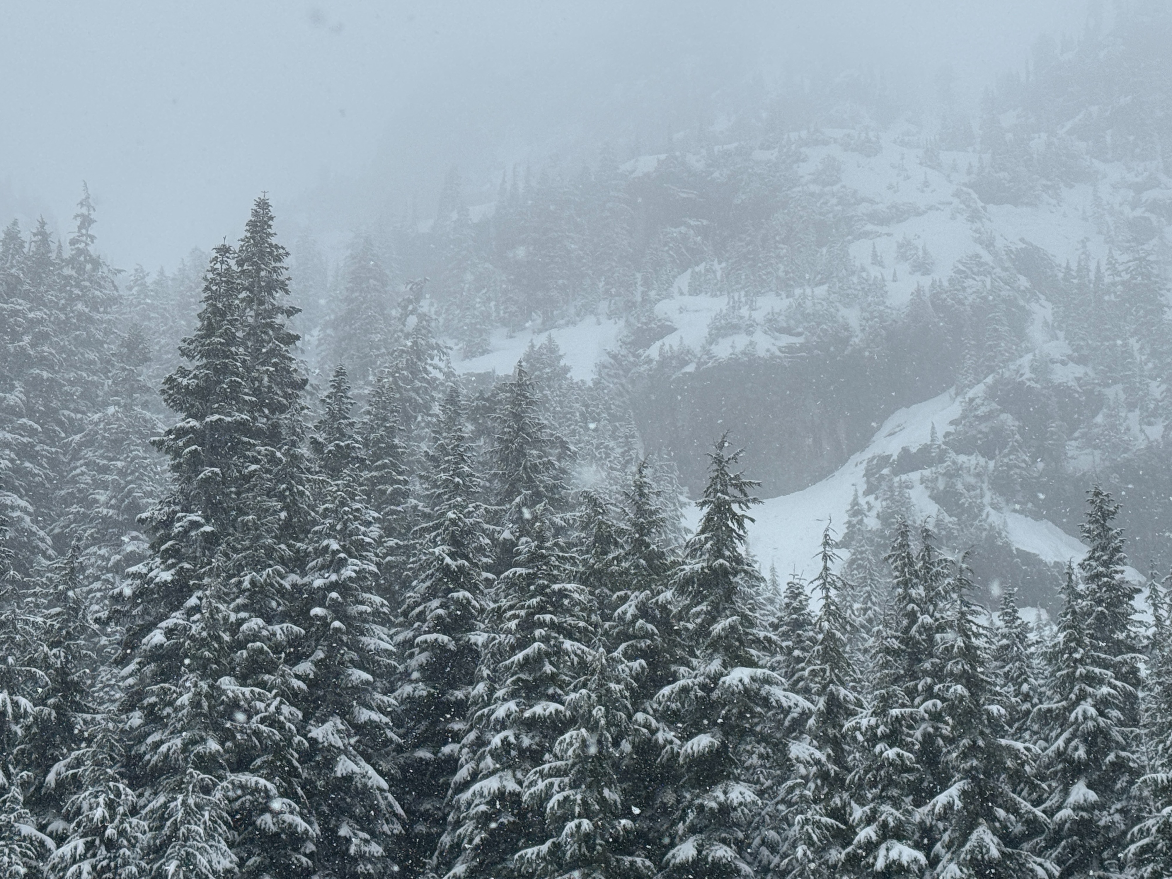
Well, it's snowing again. That's good news. We found about 1-2 inches at lower elevations, and reports were of 2-4 inches higher in the terrain. This new snow sits over a thick crust. Down low, the crust was soft but supportable. Higher, it was firm and icy. With such limited new snow, we didn't see much in the way of avalanche concerns, but we didn't reach very high in the terrain.
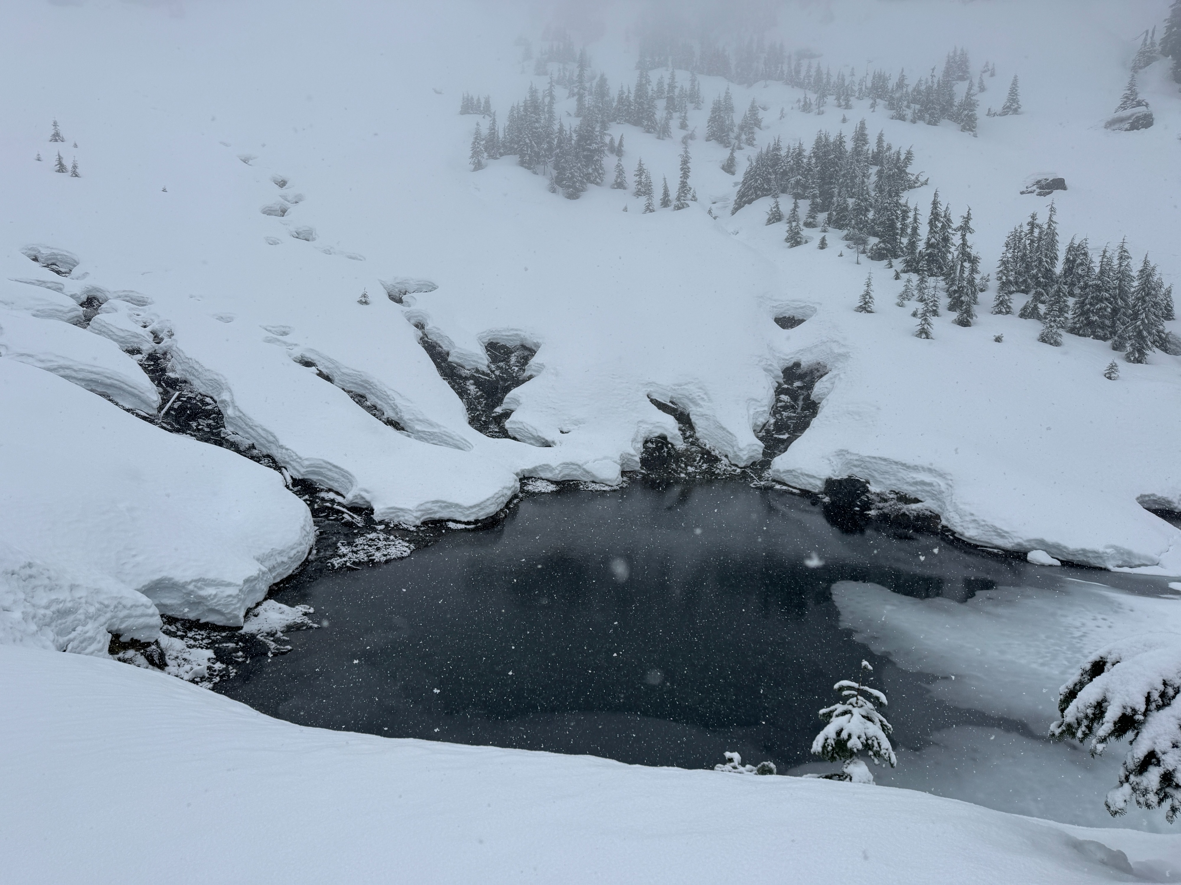
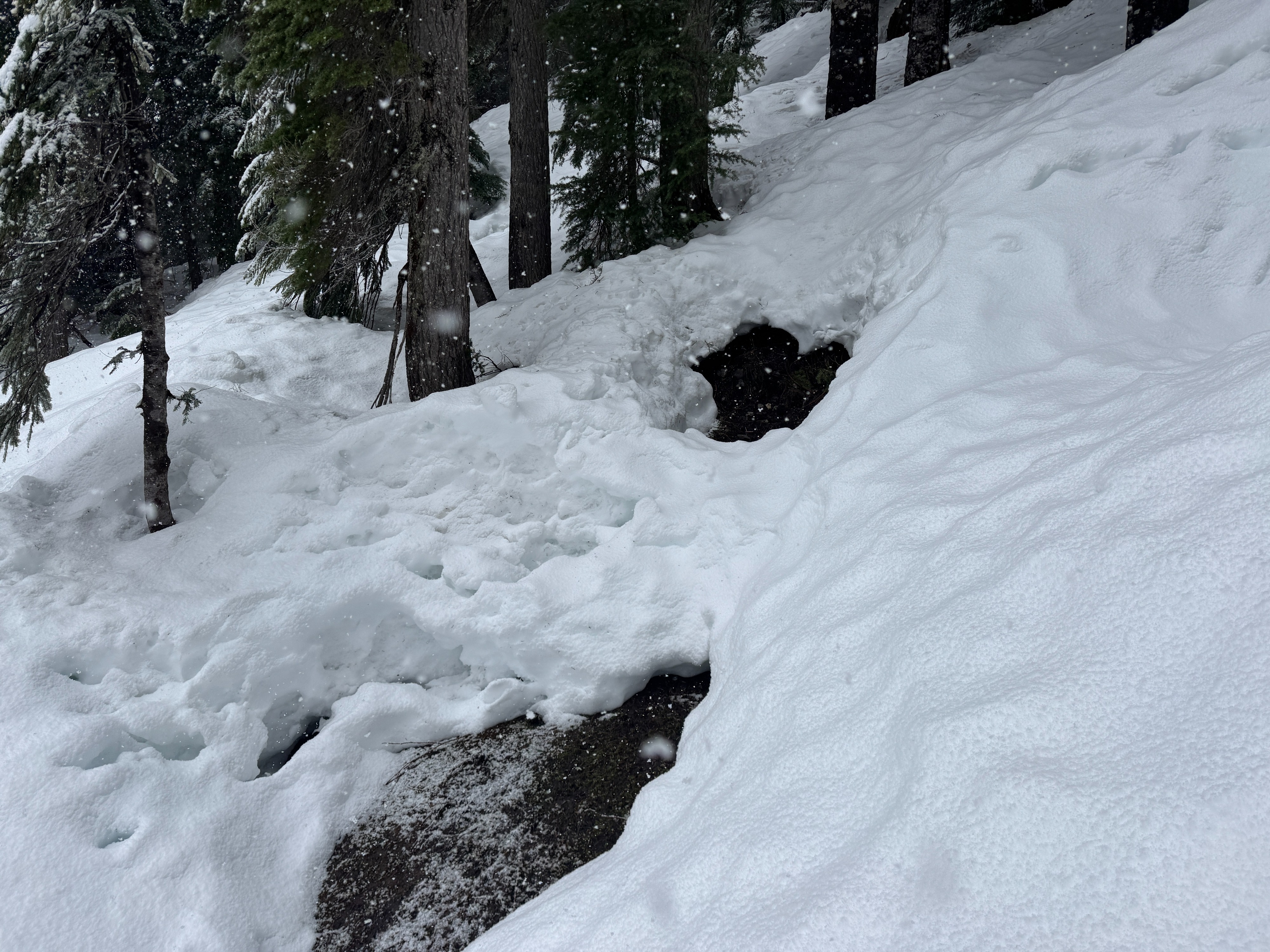
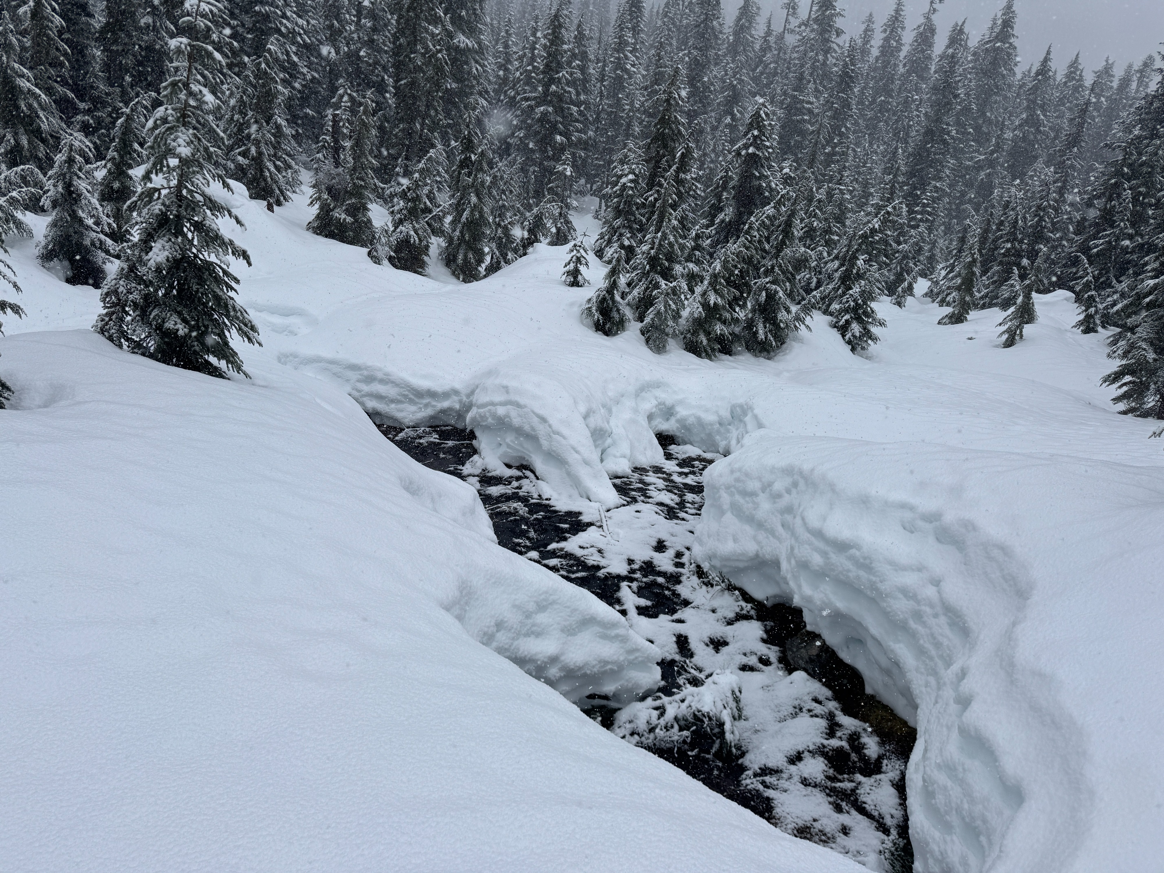
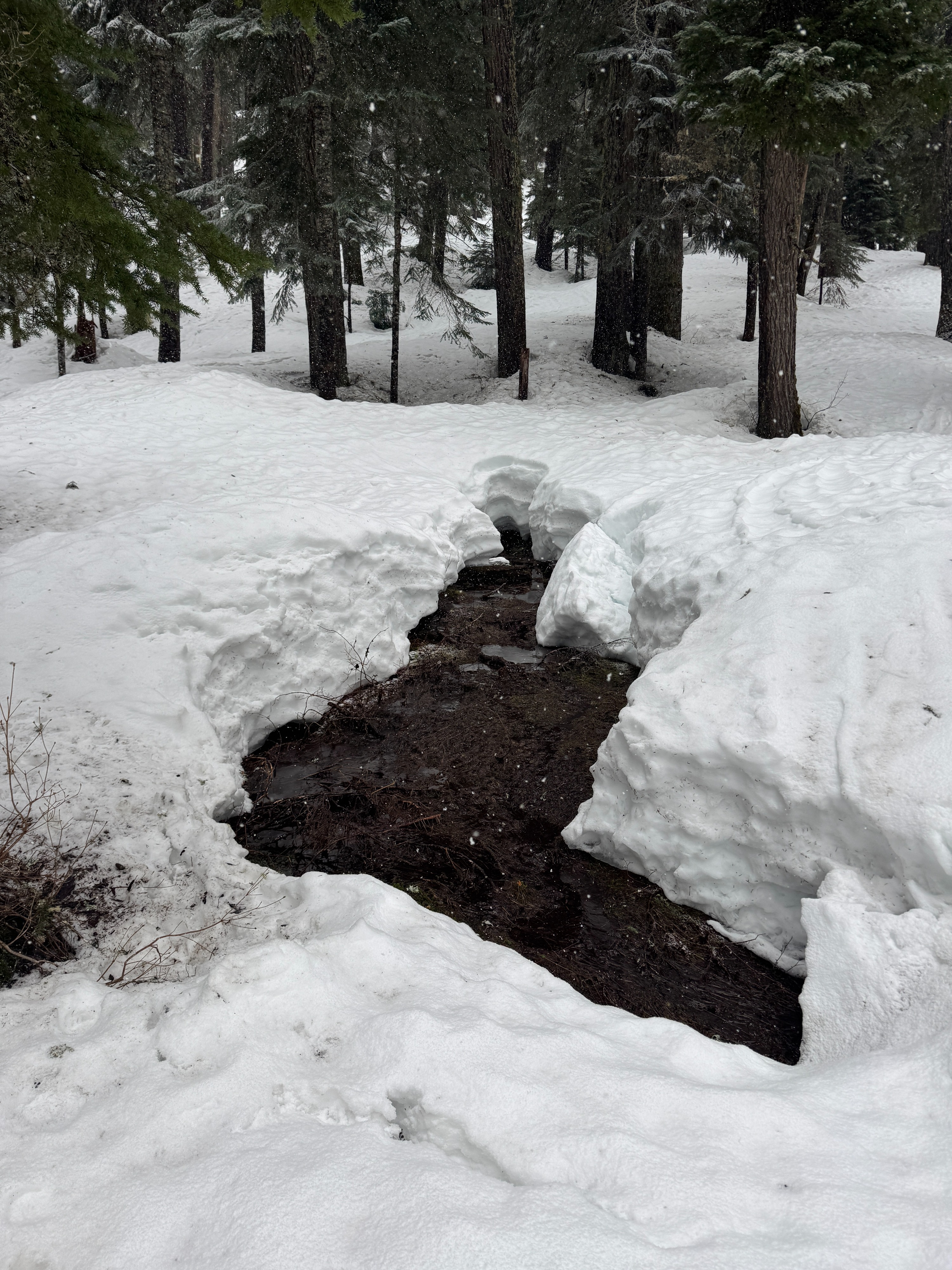
The biggest observation of the day was the continued decline in coverage. Creeks are open everywhere, and finding safe crossings can be a challenge.
Weather
- Air Temp
- 32
- Cloud Cover
- obscured
- Wind Loading
- none
- Rain Elevation
- 3000
- Recent Snowfall
- 3
- Snow Avail For Transport
- small smounts
Snowy with S1-S2 snowfall rates. Winds blowing at lower elevations, but not really moving much snow. Mild temperatures near freezing.
Snowpack
At lower elevations, 1-2 Inches of new snow now caps the 3/25 crust, and it was still snowing when we left the field. The underlying crust was soft and edgeable at lower elevations, bur reports from other parties indicated it was firm and icy higher in the terrain. Despite the fact the new crust was not fully frozen, it was supportable (ski and boot).
The new crust is about a foot thick. Underneath, weaker wet snow still exists, but the over lying crust seems to be keeping this from being an issue.
Coverage: The rain on 2/24 continued to degrade snow coverage. Numerous holes, open creeks, and downed debris area common. Travel in general is just slower than normal due to all the obstacles.
Avalanche
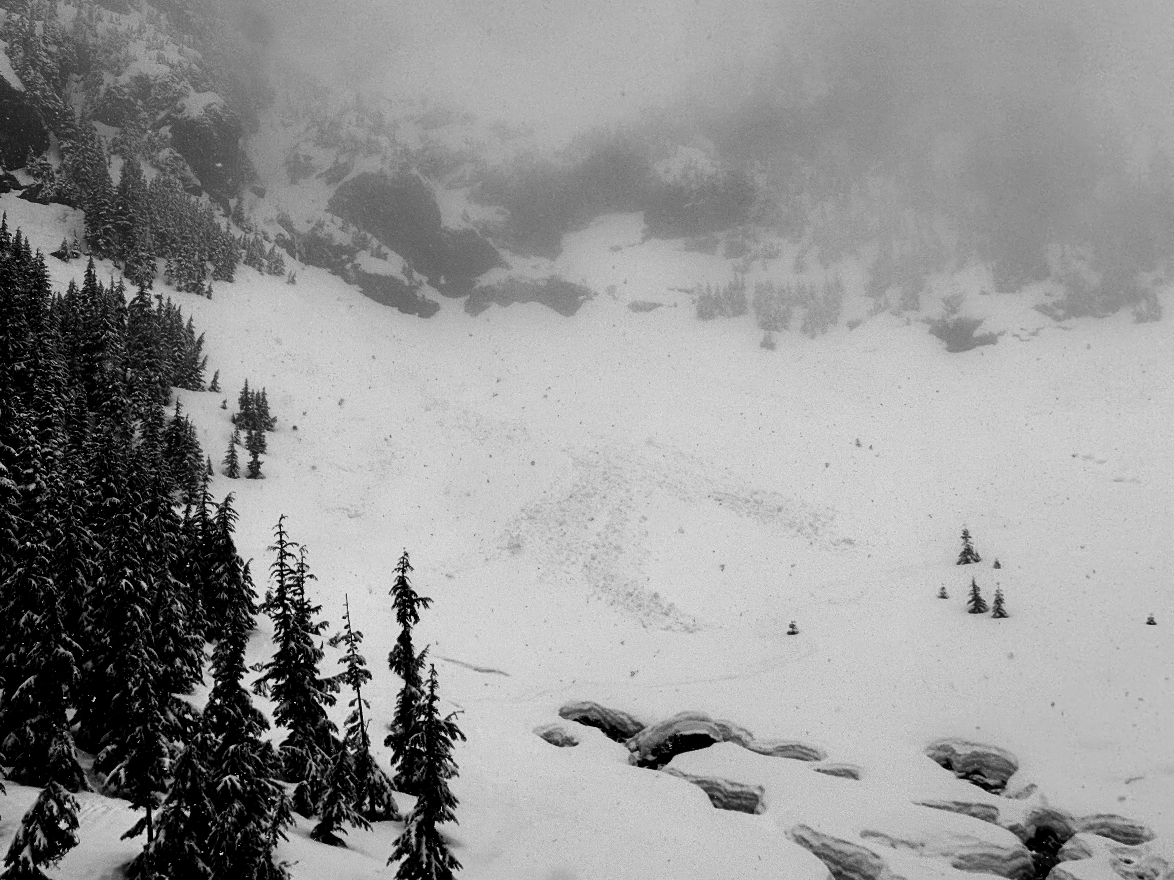
We found one large pile of debris near Bryant Peak in the Source Lake basin. It's hard to say when it released, but it looks fresher than the other debris piles in the area. This slide could have occurred on Tuesday 3/24.