
Quick report
It's springtime, and fresh dry snow doesn't typically last for long. So we went out today to assess how the recent storm snow was handling the warmup and to observe any reactivity in wind-drifted snow.
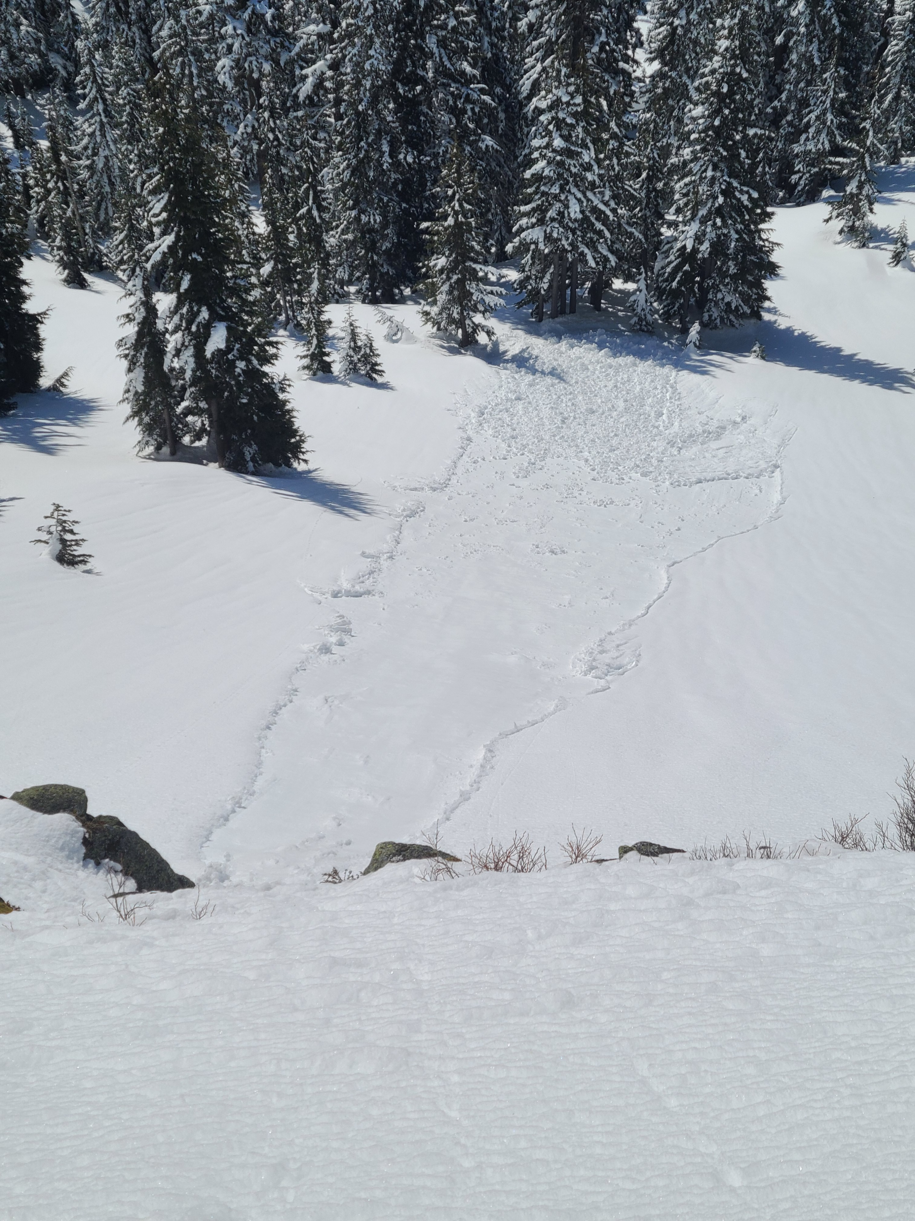
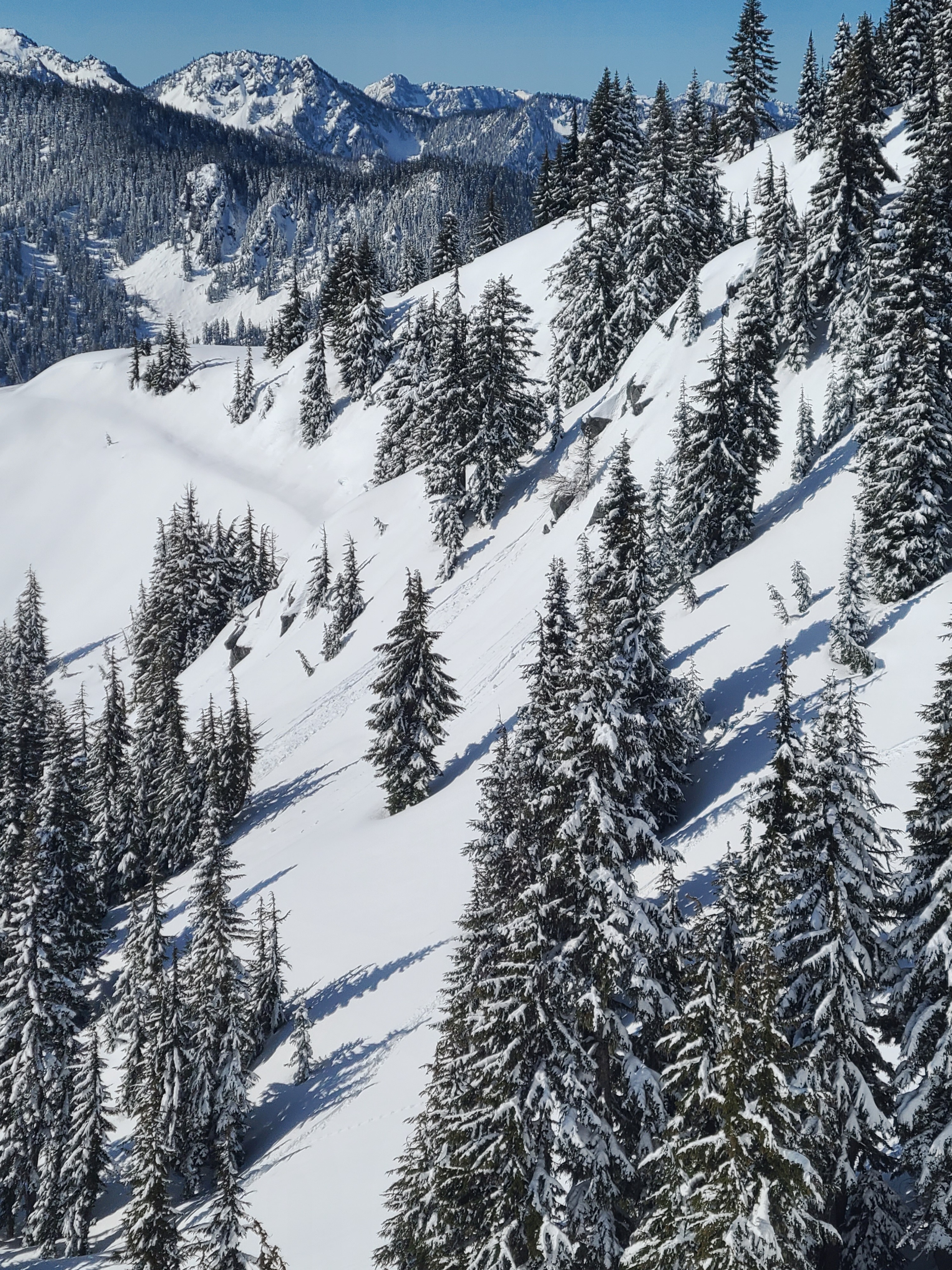
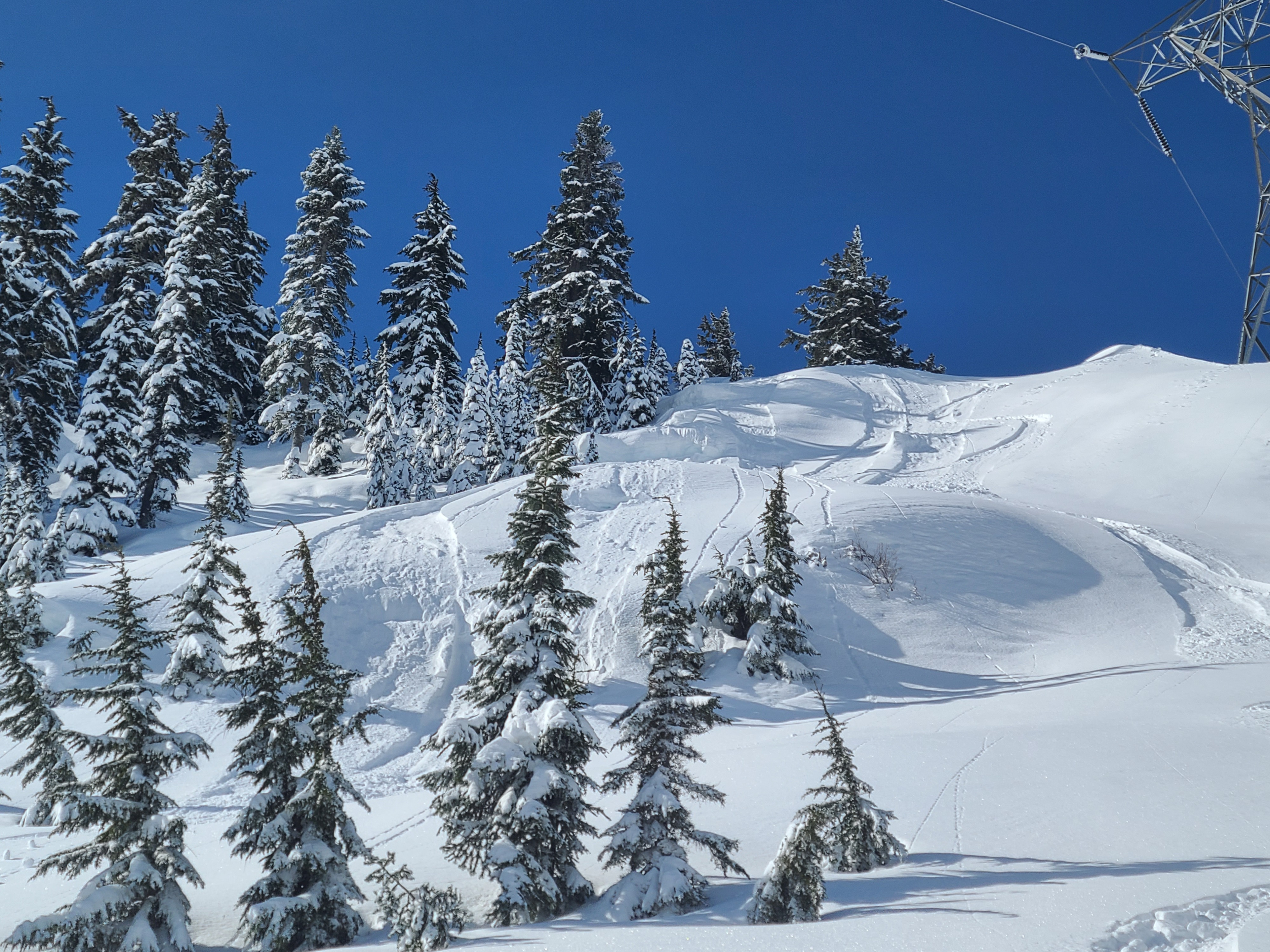
The strong March sun quickly warmed sunny slopes and broke down thin surface crusts formed overnight. Small natural wet loose avalanches were running by 10 am. On steep, shadier slopes, we could push small, dry loose avalanches, and they were still holding onto cold, dry snow well into the afternoon. We found that the wind slabs at middle elevations were very soft and stubborn where we traveled, and test slopes produced no results.
Weather
- Cloud Cover
- clear
- Wind Loading
- previous
- Snow Avail For Transport
- moderate amounts
It was a sunny day with light winds. Ambient temperatures were above freezing, and it was very warm in direct sunshine, but shady slopes stayed cold.
Snowpack
Snow Surface Summary
On southerly aspects, a 1-2cm thick melt-freeze crust that had formed overnight quickly broke down with daytime warming and sunshine. So, by mid-morning, sunny slopes consisted of wet, heavy surface snow. On shady northern aspects, there is 30-45cm of cold, dry snow with widespread surface hoar. Boot pen on all aspects was approximately 30cm, down to the underlying 3/25 crust.
Snowpack Summary
30-45cm of recent snow rests over a thick knife hard crust (3/25 melt-freeze crust). This crust is supportable to boots and 8-12 cm thick. The recent snow showed a favorable bond to the 3/25 crust, and snowpack tests produced no results. Below the 3/25 crust, there is a thick layer of melt forms that are refreezing and gaining strength.
Snow Profiles
5100ft, SE aspect
HS 245cm
Notable Layers
↓24cm 3/25 melt-freeze crust
CTX
5200ft, N aspect
HS >300cm
Notable Layers
↓37cm 3/25 melt-freeze crust
CTX