
Quick report
The season is still young, and the snowpack is still very, very thin. However, a generally supportable snowpack at middle elevations allowed for consistent and predictable travel. What little avalanche hazard we found was generally confined to pockets of wind loaded snow.
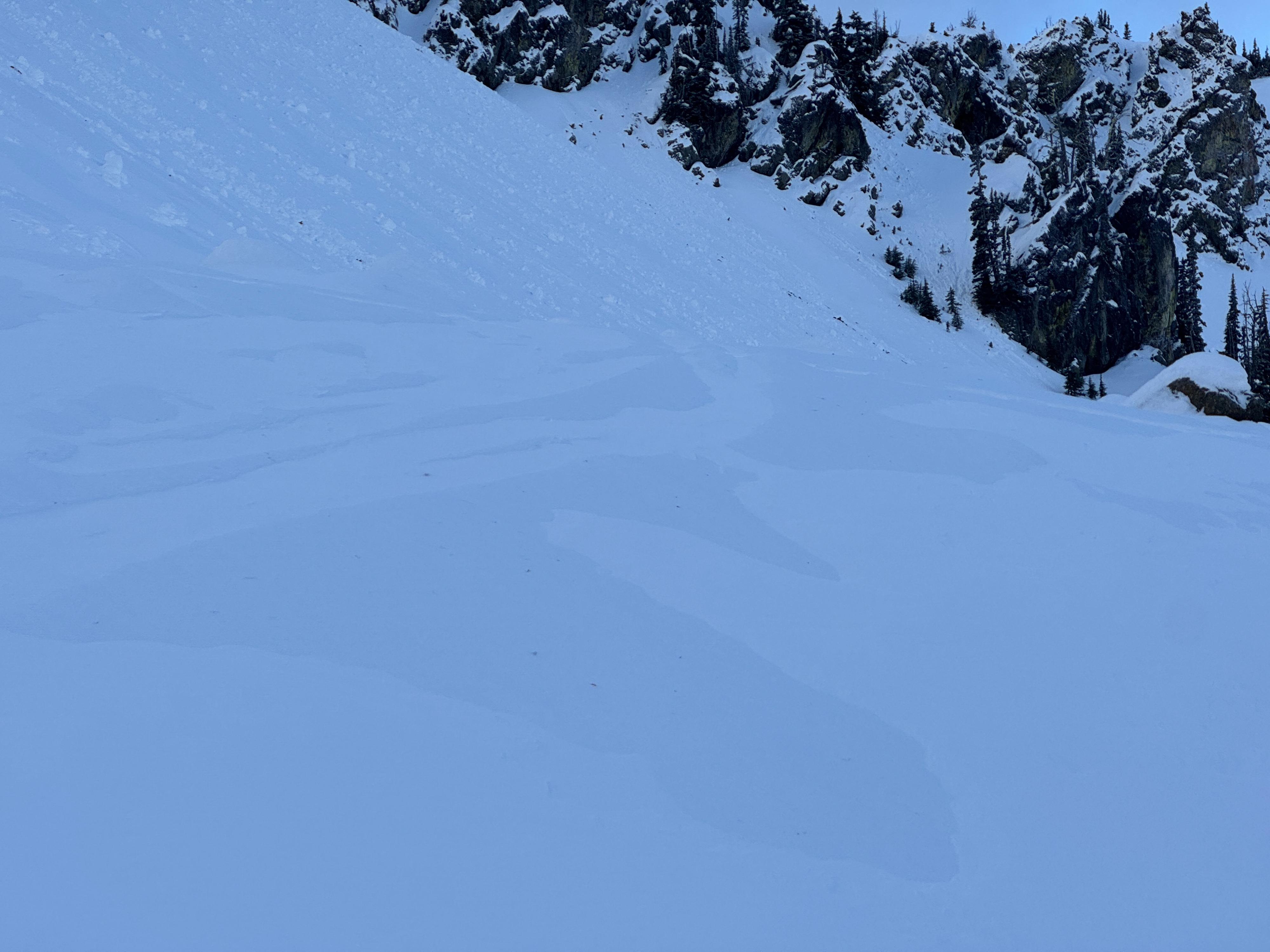
Avalanches were from Friday 12/5's rain event. No cracking or collapsing noted.Weather
- Cloud Cover
- broken
- Wind Loading
- moderate
- Rain Elevation
- 4500
- Recent Snowfall
- 2
- Snow Avail For Transport
- small smounts
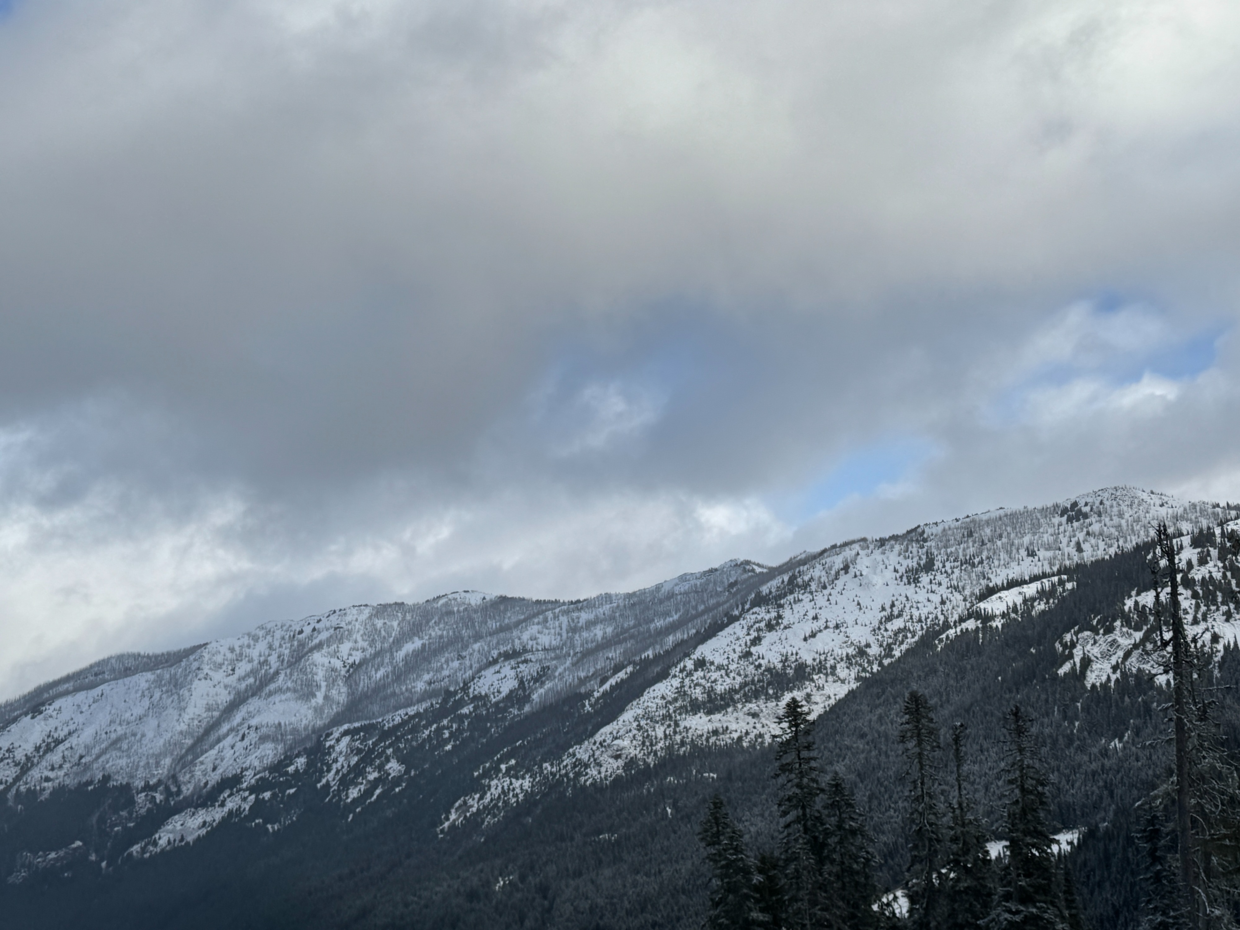
Definitely in the Crystal "sucker hole" in the eddy behind Mt Rainier. While there was a few flurries here and there, the day was generally very nice, with some blue sky and good visibility. Moderate but gusty west winds.
Snowpack
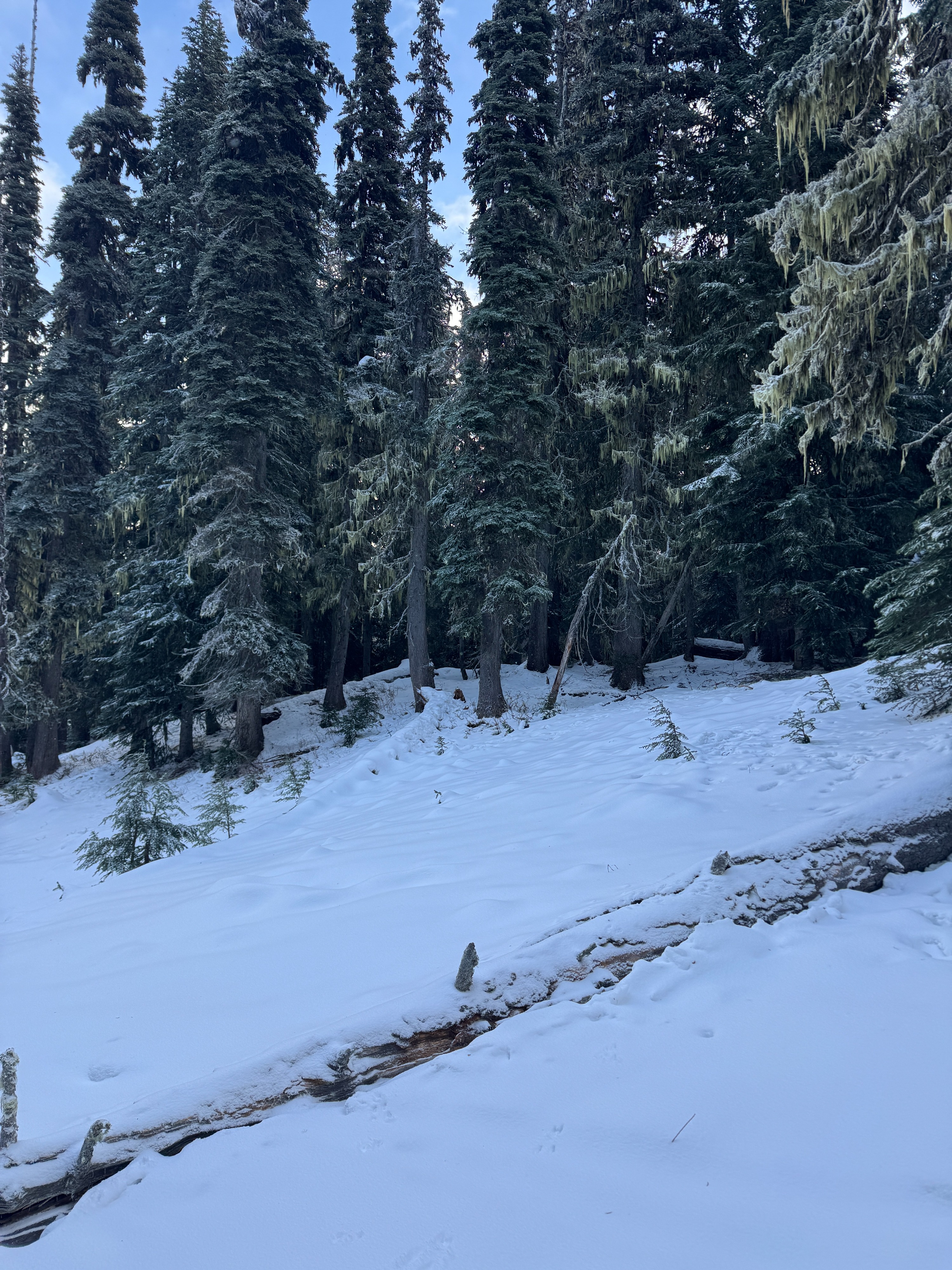
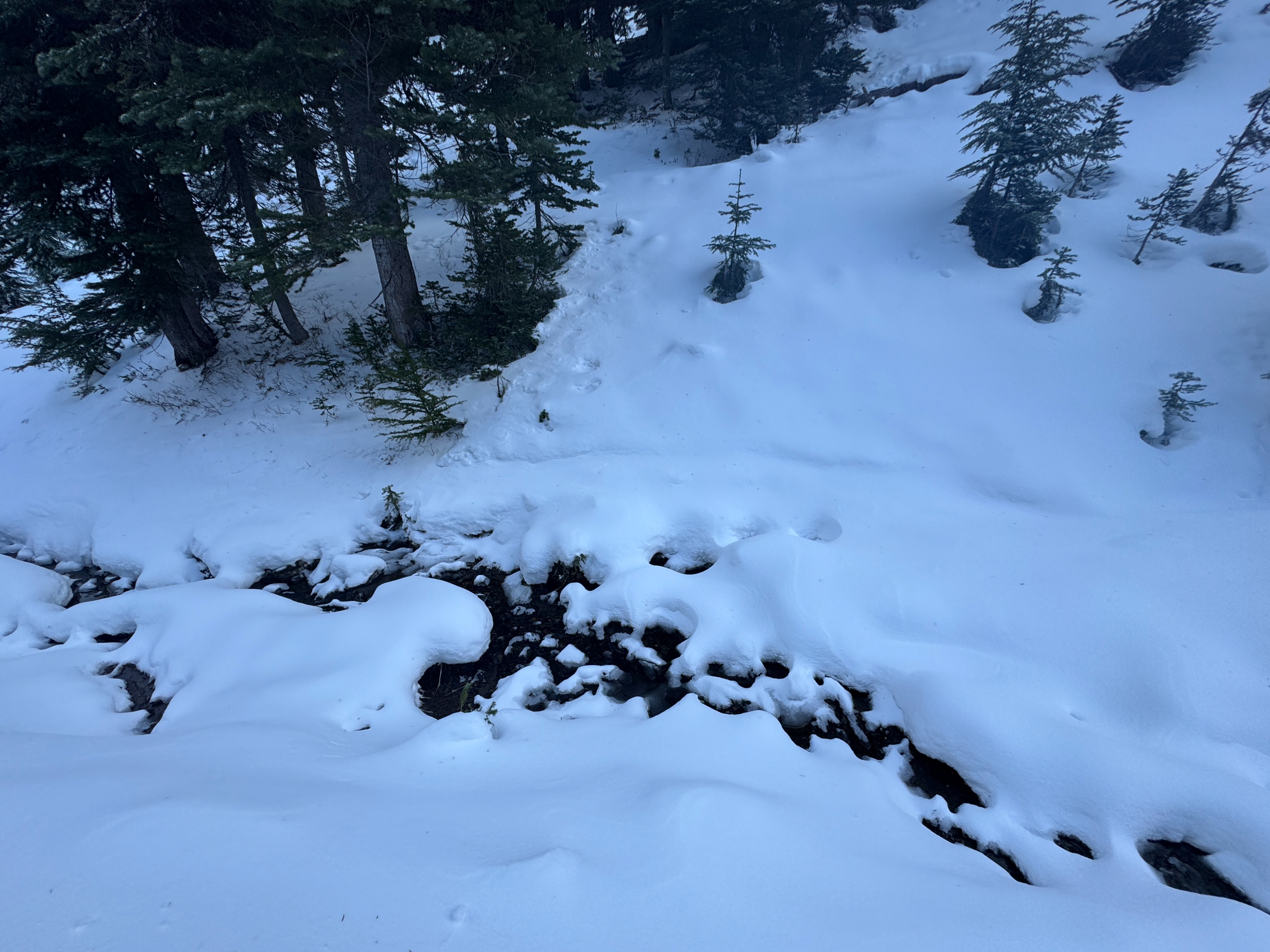
The snowpack is still very thin with lots of early season obstacles. Normally smooth and simple travel routes are blocked by creeks, downed logs, small trees, and shrubs. It took longer to travel both up and down.
Lower Elevations: There's barely any snow below 5000ft. Snow depths range from 0-6 inches. Between 5000 and 5500ft, snow depths increase to around a foot.
Middle Elevations: The snowpack really starts to gain depth in the middle elevation band (5500-6500ft). Depth started around 15-18 inches and increased to about 24 inches. While this might not sound like much snow (and it isn't!), the snowpack was generally strong and ski supportable. It kept us off any shallowly buried obstacles. In general, you could see most of the early season hazards and weren't worried about hidden 'sharks.'
There was about an inch of new snow at middle elevations, sitting on a strengthening crust. In the places we looked, the entire snowpack showed signs of water. Stronger crusts were found just below the new snow and at the ground. The latter is the remnants of some large grain facets formed over the past few weeks. These big (2mm) old facets were wetted by recent rains and had refrozen.
While there wasn't much new snow to blow around, the moderate westerly winds were making quick work of scouring some slopes and drifting others. We found signs of wind transported snow as soon as we left the protection of the forest. This gave us pretty high confidence wind loading would be worse near the ridge.
Avalanche
- Size
- D1 R1
- Type
- WL
- Aspect
- N
- Trigger
- N
- Elevation
- 6300 ft
All wet loose avalanches were from Friday's rain event.