
Quick report
- Cracking
- specific
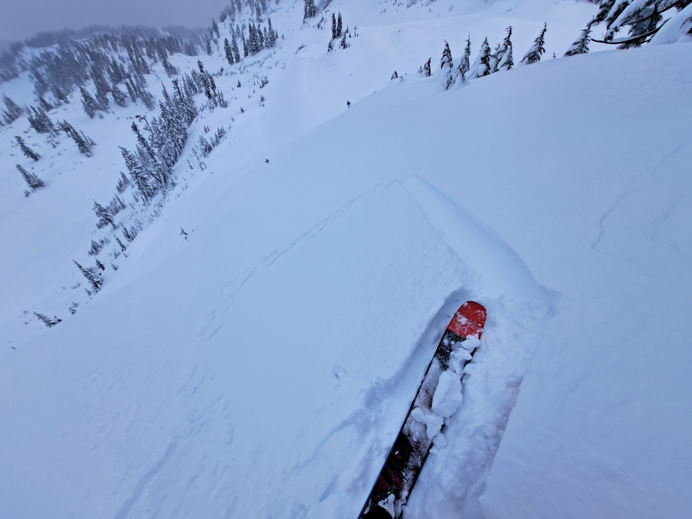
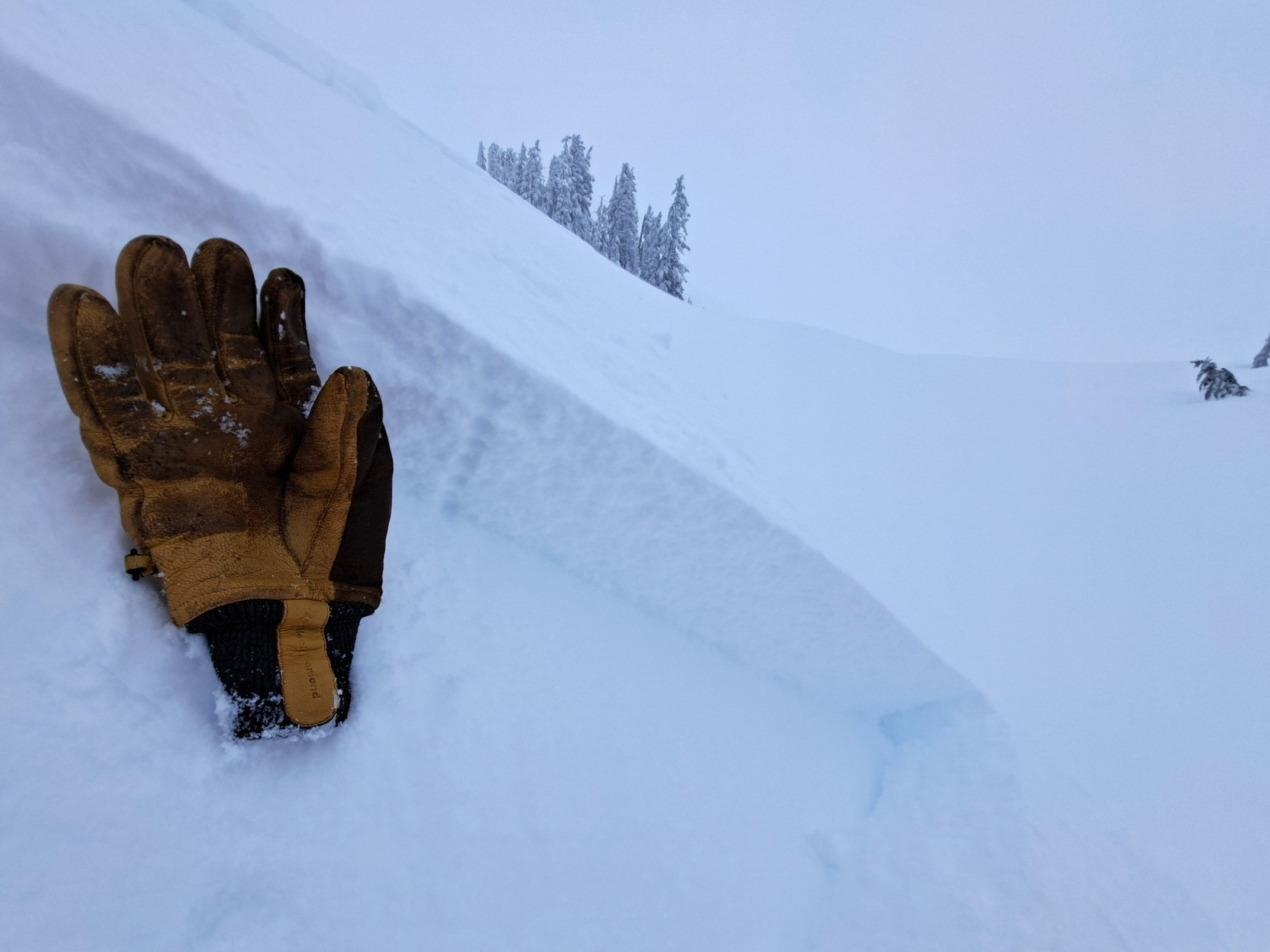
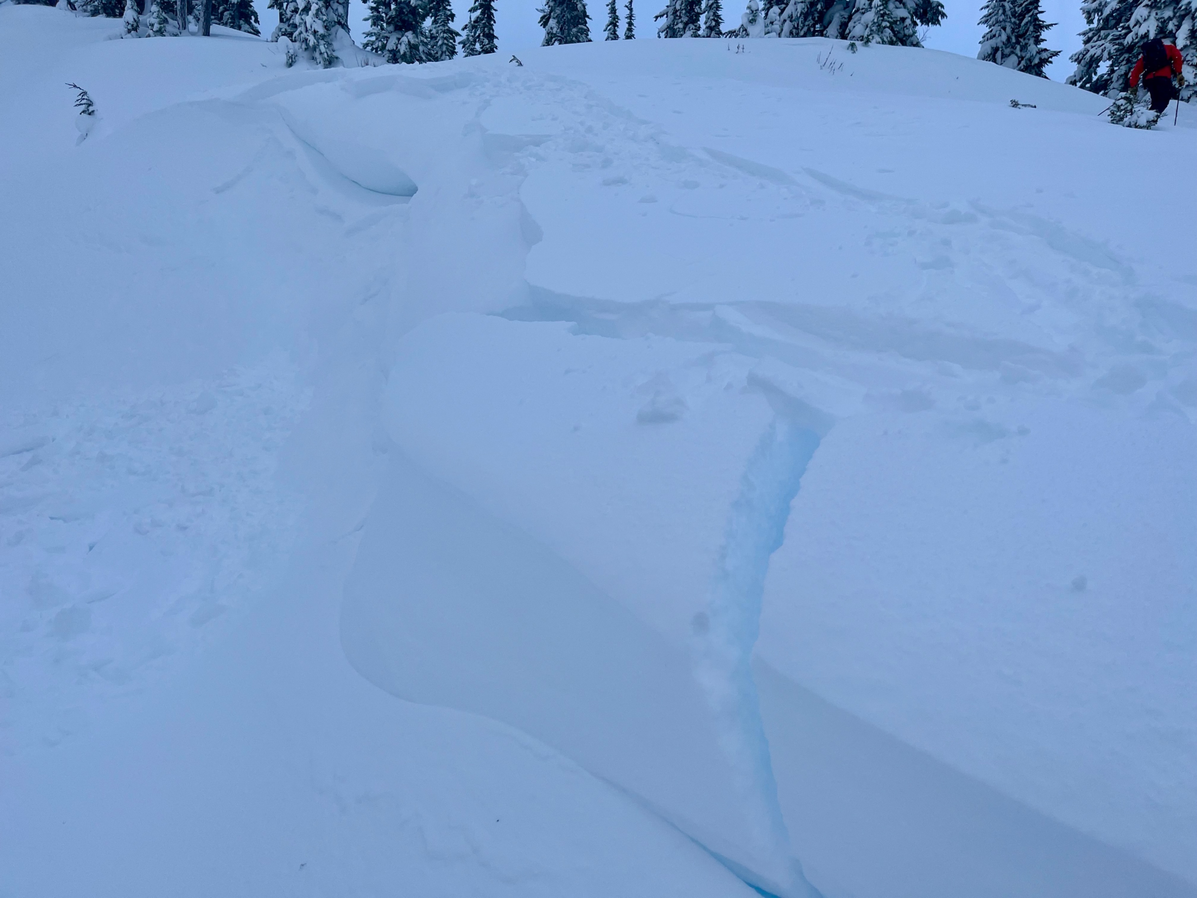
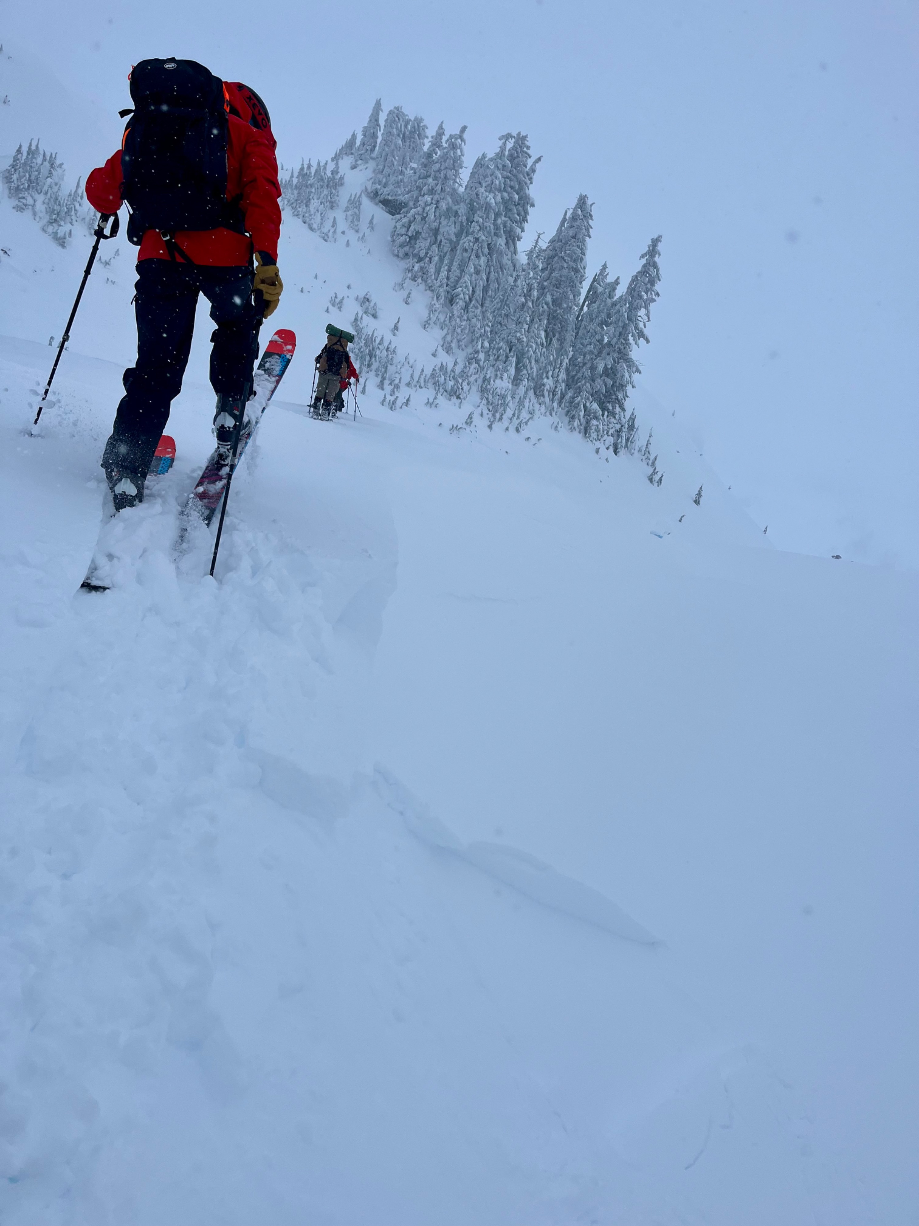
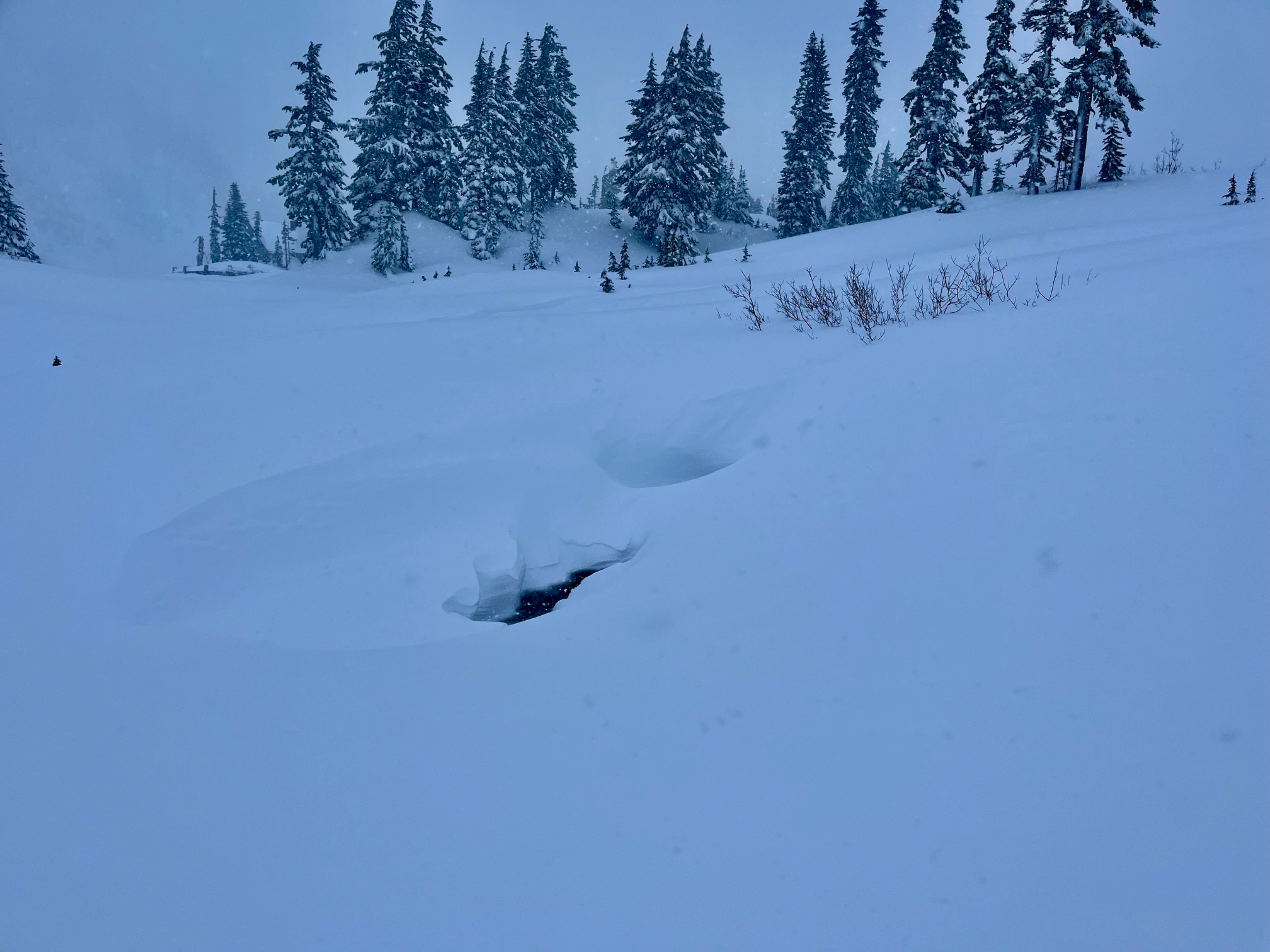
Our main goals were to investigate any new snow instabilities, determine the depth of the December 18 crust, and identify any weaknesses near the crust. We found that our main avalanche concerns were newly wind-loaded snow on slopes, and in non wind-loaded areas, most of the previous day's weaknesses appeared to have healed. We were able to produce cracking and tiny avalanches on wind-loaded test slopes. Non wind-loaded slopes were unreactive to slope testing. The December 18 crust was around a meter deep where we travelled.
Since my last visit 3 days prior, there had been a meter of snow, and conditions went from looking rather bare-bones to looking like a legitimate start to winter. There's still plenty of exposed early-season features I made sure to navigate around. Lighter surface snow, aside from in wind-drifted areas, made for good skiing.
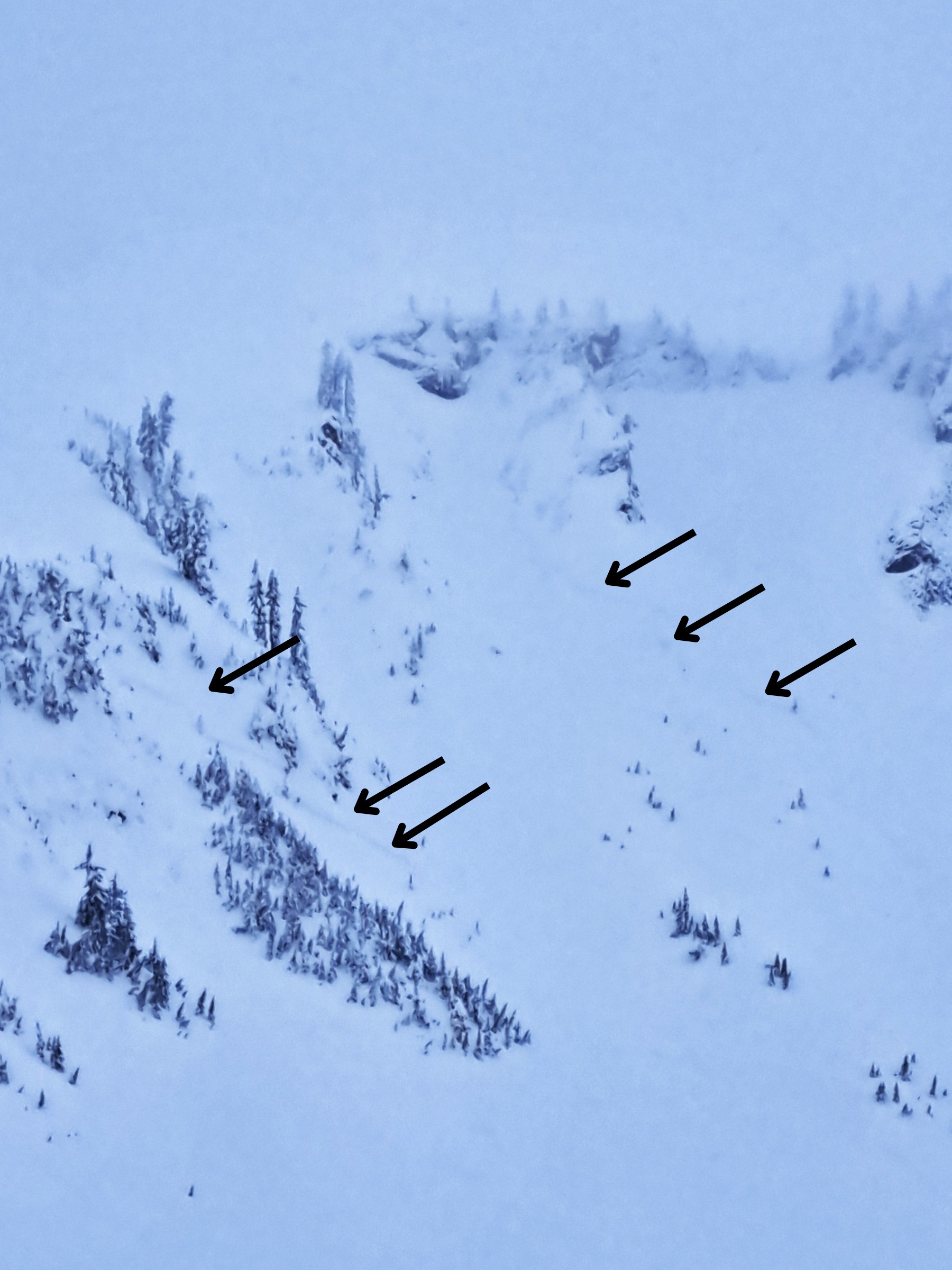
We intentionally caused cracking and tiny pockets to release on wind-loaded features. Non wind-loaded slopes were unreactive. We saw a few crown lines on the north side of Table Mtn, but visibility was poor, plus snow and wind were constantly affecting the surface, so it was difficult to identify a time that the avalanches may have happened.Weather
- Air Temp
- 25
- Cloud Cover
- obscured
- Wind Loading
- moderate
- Rain Elevation
- 2000
- Recent Snowfall
- 15
- Snow Avail For Transport
- large amounts
Increasing morning wind and snowfall during our outing. We've hardly had a break from constant snowfall for days now, so it's hard to label what the new/recent snowfall is. Since the Dec 18 crust formed 3 days ago, we've received 4" of water, or about 4' of unconsolidated snow.
Snowpack
Wind had variably affected the surfaces wherever we traveled. Ski penetration ranged from about 5-15cm. Boot penetration where we dug our pit was about 80cm.
The December 18 crust was about a meter (3+ft) deep everywhere we went- from the Heather Meadows telemetry site (4200') to Austin Pass (4800'), our high point.
In a pit we dug at the top of 5-minute trees, snow was predominantly right side up in the layers above the Dec 18 crust, aside from a vague, thick graupel layer near the top of what was likely the previous day's snow. We found few instabilities, with only hard compression test results beneath the graupel layer, and no extended column test propagations. No failures occurred on the Dec 18 crust.
Beneath the Dec 18 crust, there was about a foot of decomposing forms, that progressively became harder until reaching the mid-December crust layers. Beneath those crust layers, snow was moist large-grained melt forms all the way to the ground.