
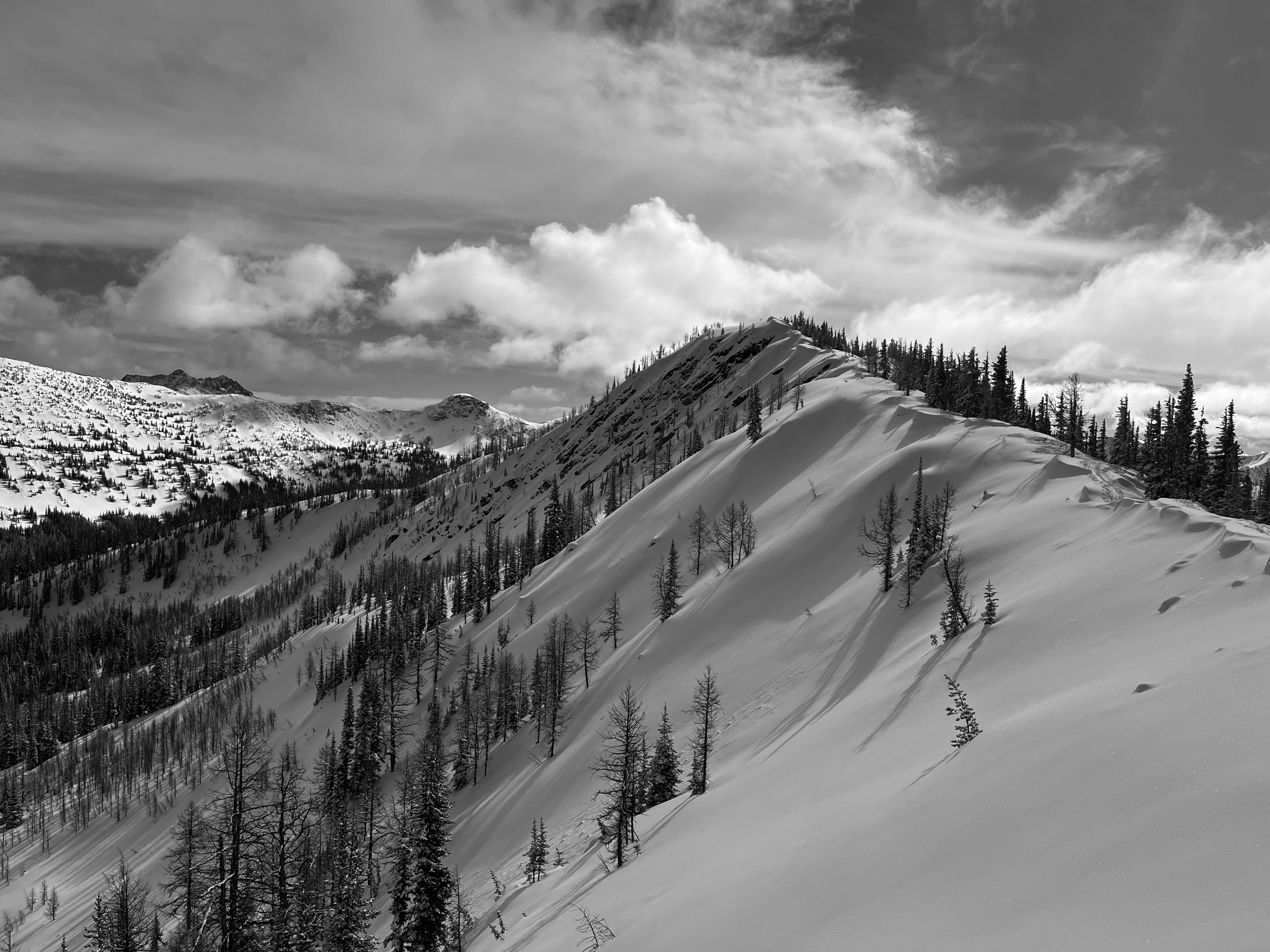
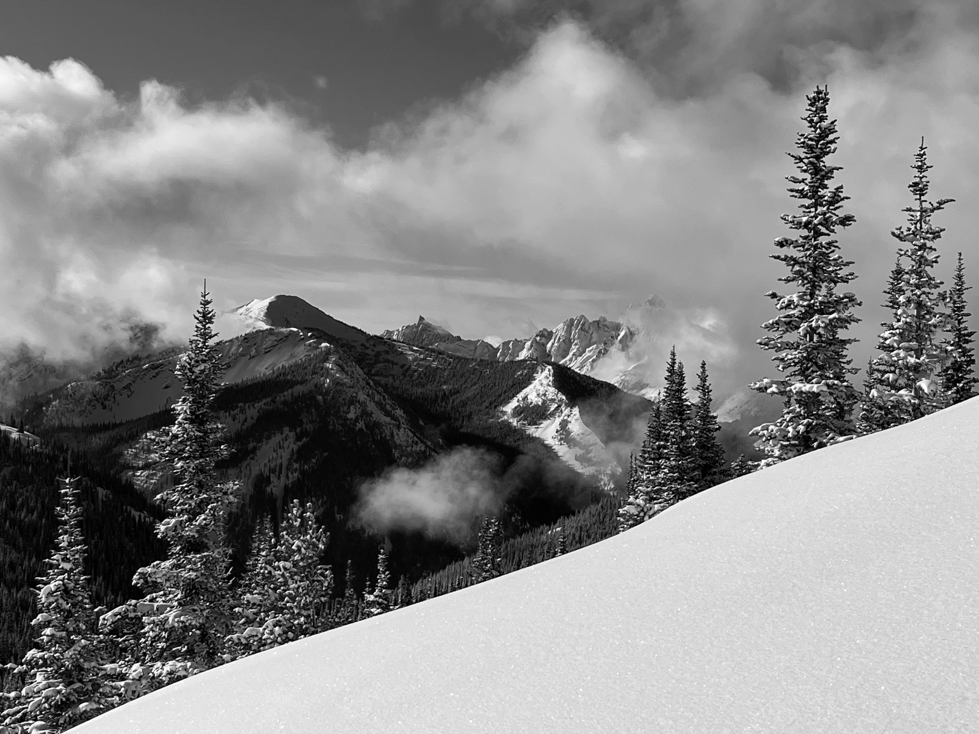
Quick report
The upper snowpack has strengthened, with favorable cooling on the heels of anomalous warming. Recent low-density snowfall across the zone has returned some stoke to dismayed local skiers. The facets of the JDL remain on the radar of all savvy skiers and riders, with wise terrain selection demanding a high level of attention and engagement.
Recent avalanches were lmited to low density surface snow and were Dry Loose in character.Weather
- Air Temp
- low 20's
- Cloud Cover
- broken
- Wind Loading
- light
- Recent Snowfall
- 15cm
- Snow Avail For Transport
- moderate amounts
Between 3/2 - 3/6, we generally experienced increasing cloud cover, cooling ambient temperatures, and 15cm low density snowfall. A period of moderate southerly winds on 3/5 shifted to NW on 3/6, albeit with only light transport observed.
Snowpack
With the Harts Pass Snotel recording 72% of SWE, based on a 30 yr period, the headwaters of Bonita Creek and surrounding ridges seemed representative. Field snowdepths throughout the ski terrain ranged from ~140cm to 180cm. Anecdotally, ~250cm to 280cm feels more "normal", based on over a decade of observation in the area.
On 3/2, we arrived near the tail end of an anomalous warm period. Snow surfaces were entirely moistened, saturated, or refrozen on all aspects below ~7000' or so. With subsequent cooling, these surfaces ranged from robust and ski-supportable crusts (steep SE thru SW) to weakly crusted and faceted "zipper pow" on NW thru NE. Many areas held breakable crusts that became skiable for ephemeral periods of the day, with warming.
The evening of 3/4 brought a brief but vigorous period of snowfall that resulted in a 15cm accumulation of low density snow. This was prone to sluffing, mainly on the cold aspects, as the solars quickly succumbed to warming.
Light to moderate wind effects gently affected surfaces into 3/6, with no substantial loading observed.
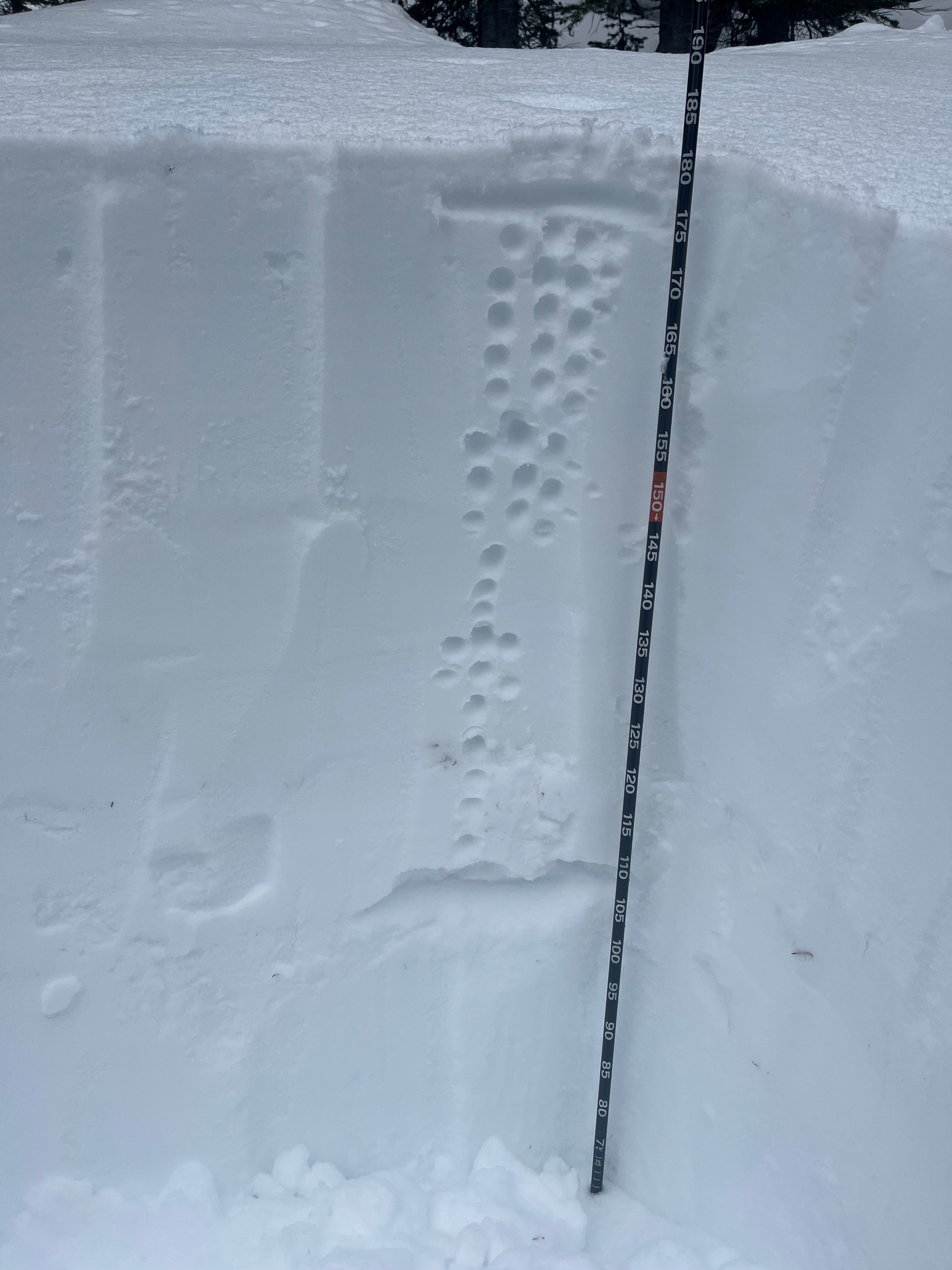
Snow profiles, of course, targeted the regional layer of concern: the January Drought Layer, buried 1/31. We focused on mid-elevation northerly aspects and found the following:
6050' NE: HS: 175cm JDL down 75cm, with the upper part of the layer consisting of 4F hard 1-1.5mm rounding facets Hard, sudden planar results in a small column CTH(sp) 21
6400' N: HS: 140cm 15-20cm recent low density over strong slab of 4F to 1F from previous wind effects. In this location, the JDL was down only 50cm and consisted of a 10cm thick layer of 2mm facets that were F hard, with 4F hardness below. A small column produced a hard break within the facets. A large column did not show propensity for propagation (ECTX).
At both profile locations, and throughout the colder-aspect ski terrain, we found weak crusts, now buried beneath the recent low-density snowfall. The upper snowpack beneath the most-recent snow has strengthened and hardened since the warm event and subsequent cooling, resulting in predominantly 1F to 4F snow over the JDL.
Avalanche
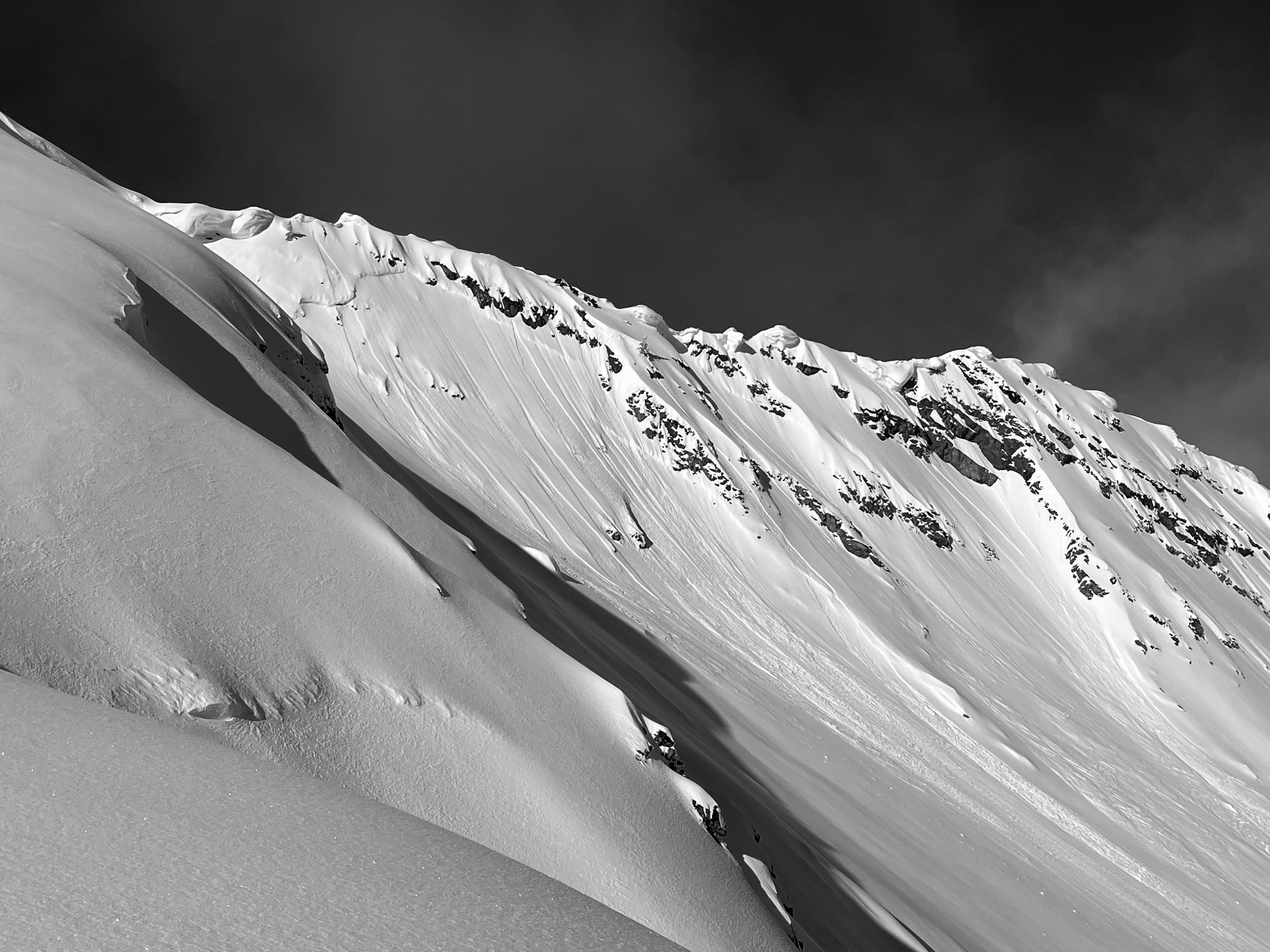
A natural cycle of sz 1 Dry Loose avalanches was observed on 3/5, mainly specific to NW thru E aspects.