
Quick report
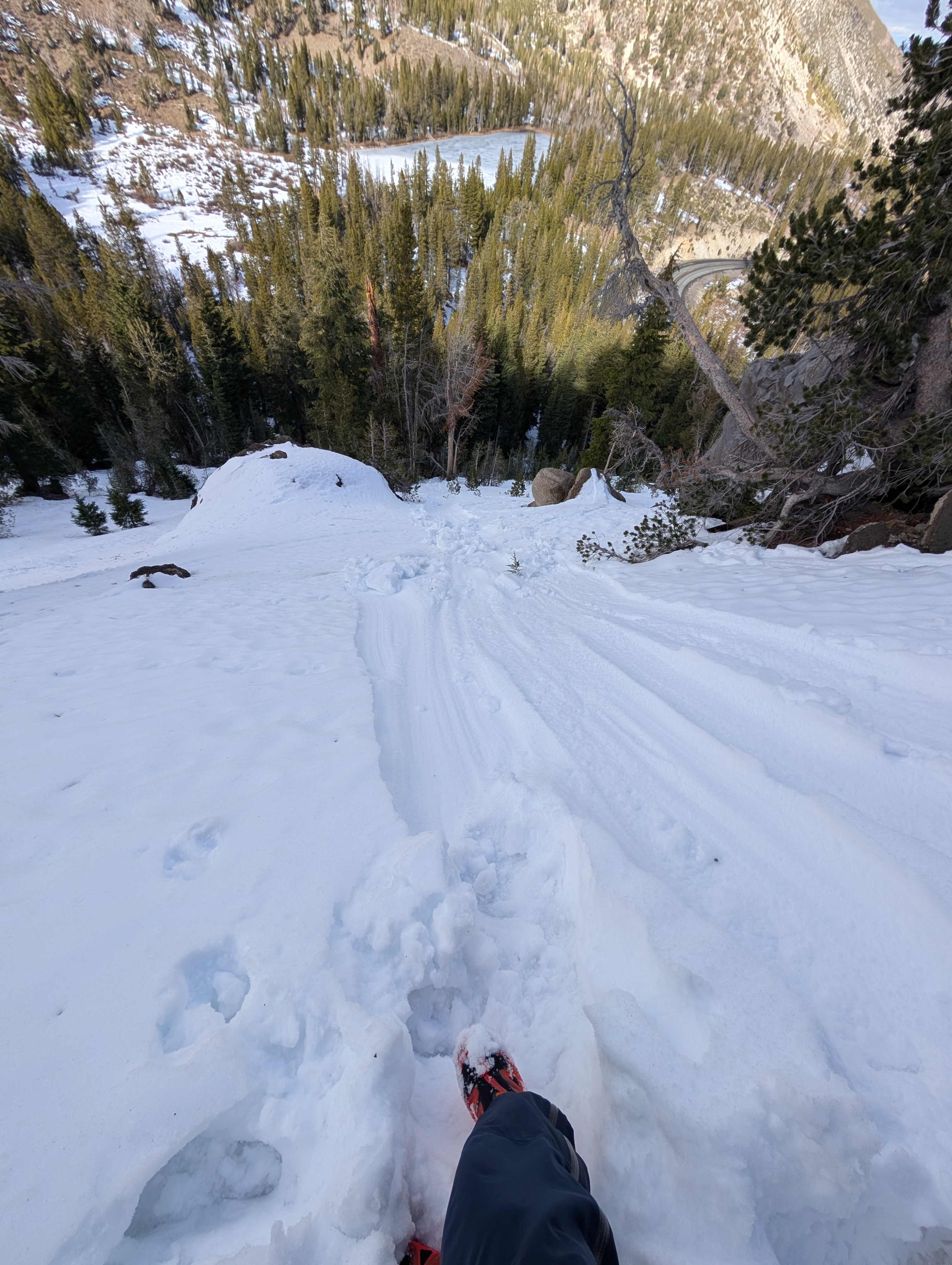
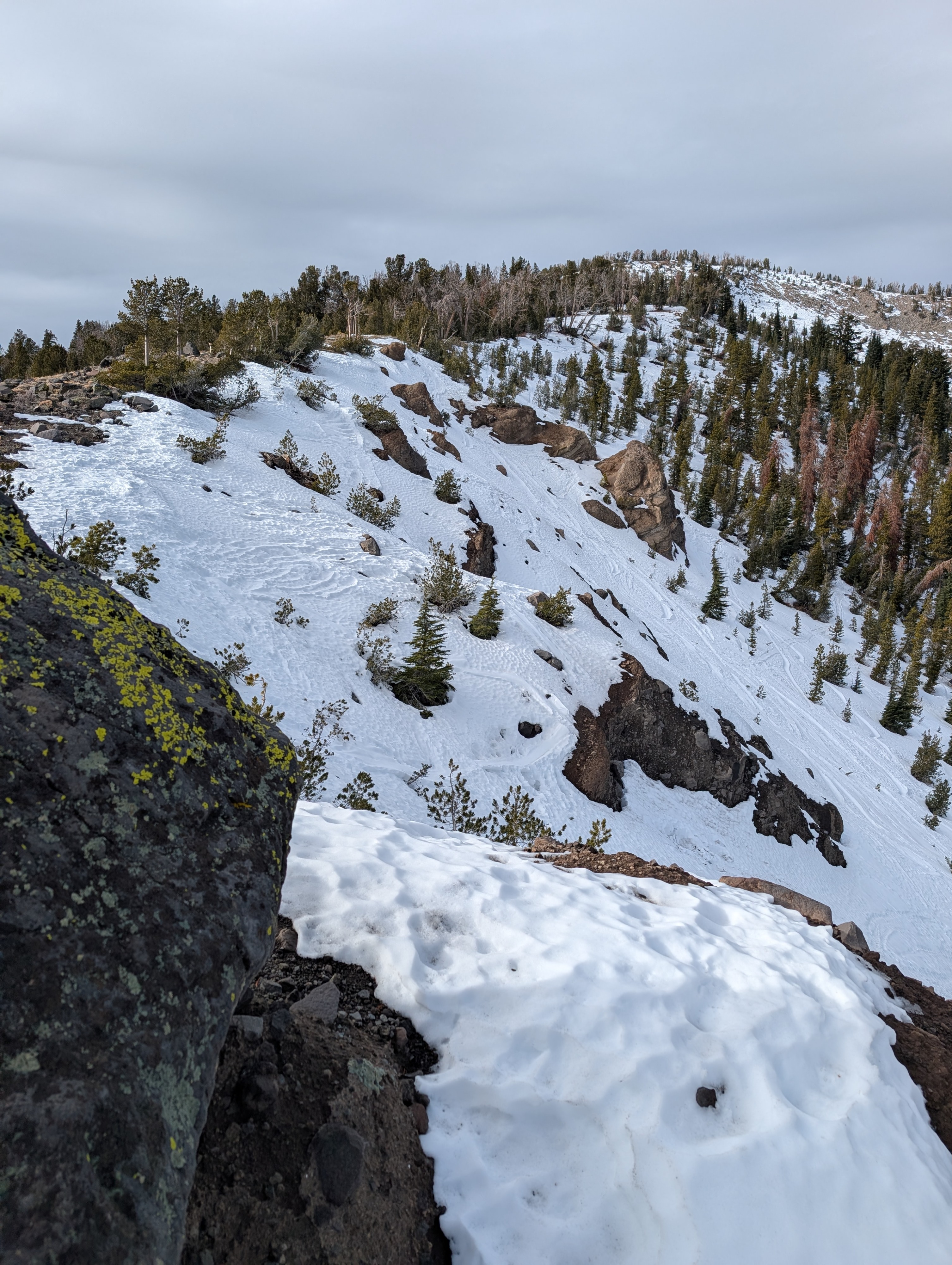
We went to the Mt. Rose area today to make observations. After some rain this morning, we had mostly cloudy skies and mild conditions. Additional snowmelt has occurred in this area since our visit on last Friday. The upper 3-4'' of the snowpack was wet and cohesive from the recent rain this morning. This was more apparent in areas where previous wind loading had formed small cohesive slabs. ECT's showed consistent results propagating just below where the rain saturated snow exists on top of weak faceted snow. This faceted snow is moist, but has not been wetted by the recent rain amounts and remains much less dense than the heavy rain soaked snow above it. We saw no recent natural wet loose instabilities while on our hike. On wind protected slopes, boot kicks of snow would easily release the top rain soaked layer and it would slide downhill. On previous wind scoured slopes with more consolidated snow, we couldn't get any wet snow to slide downslope.
Weather
- Air Temp
- 43
- Cloud Cover
- broken
- Wind Loading
- none
- Rain Elevation
- 10,000'
- Recent Snowfall
- .2" rain
- Snow Avail For Transport
- none
We hit a break in the storm late morning into the midday where the rain let up with mostly cloudy skies and light winds. The nearby Mt. Rose Snotel station reported .2'' of rain this morning. It started to rain again as we left the trailhead.