
Quick report
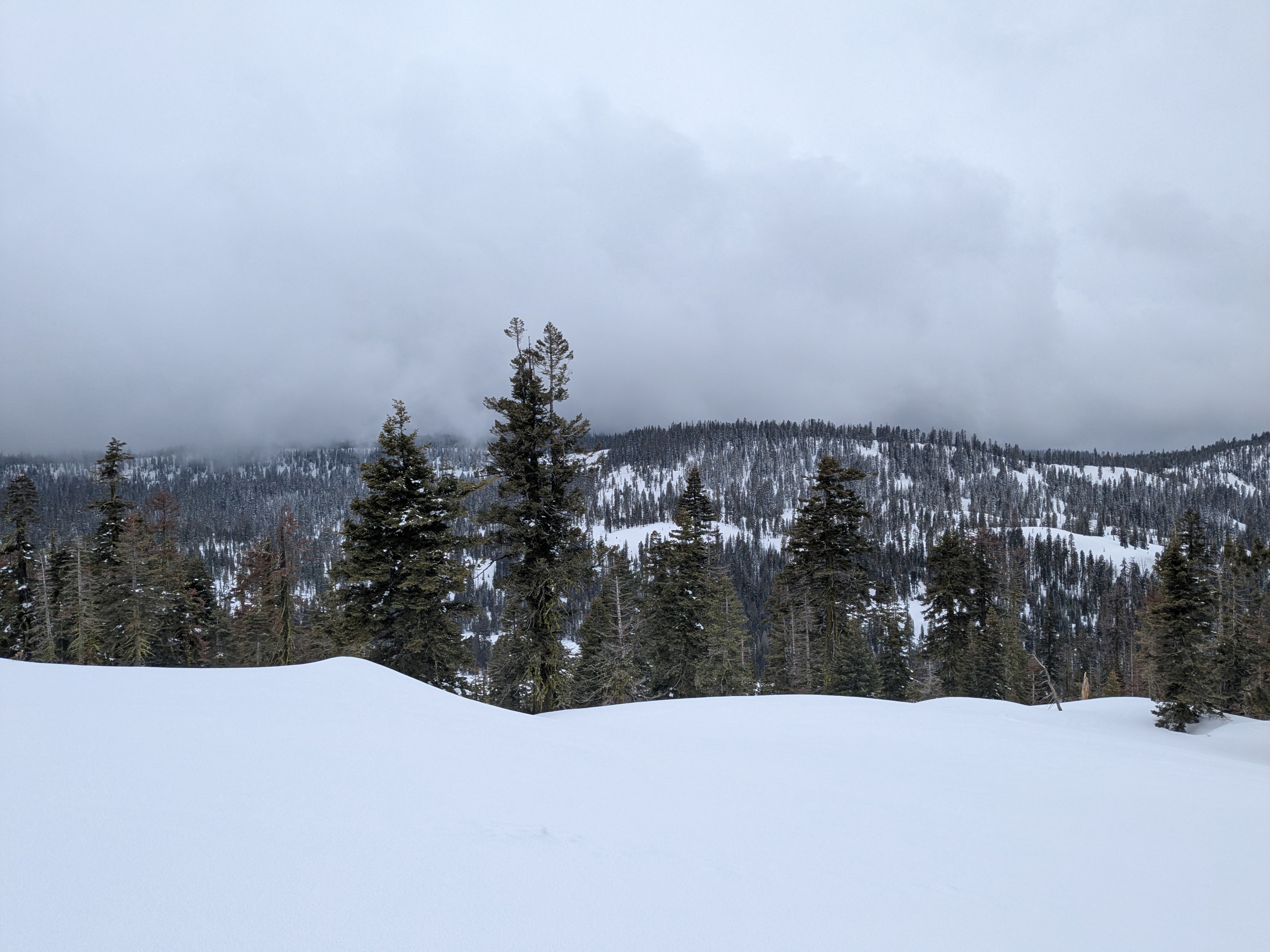
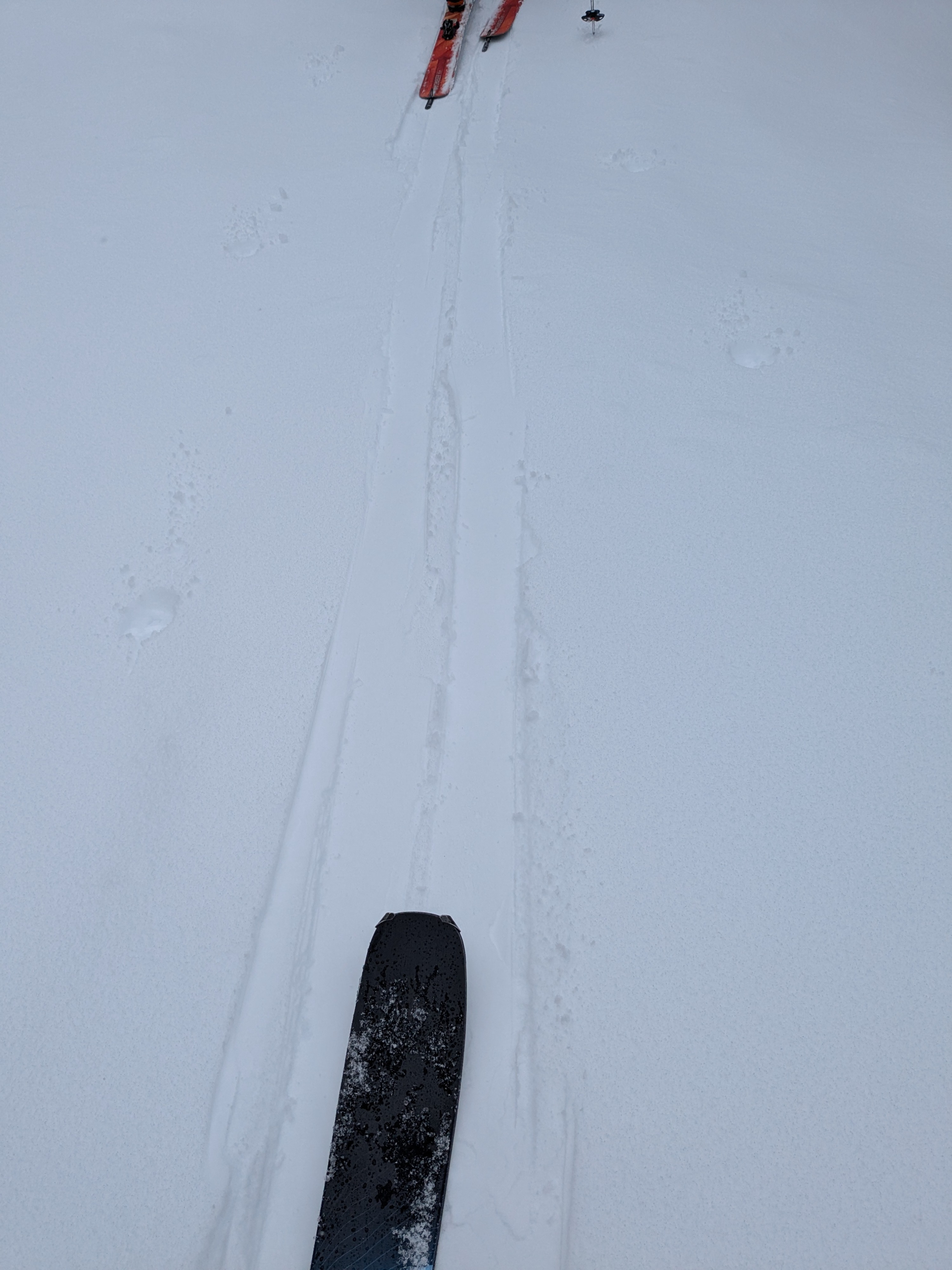
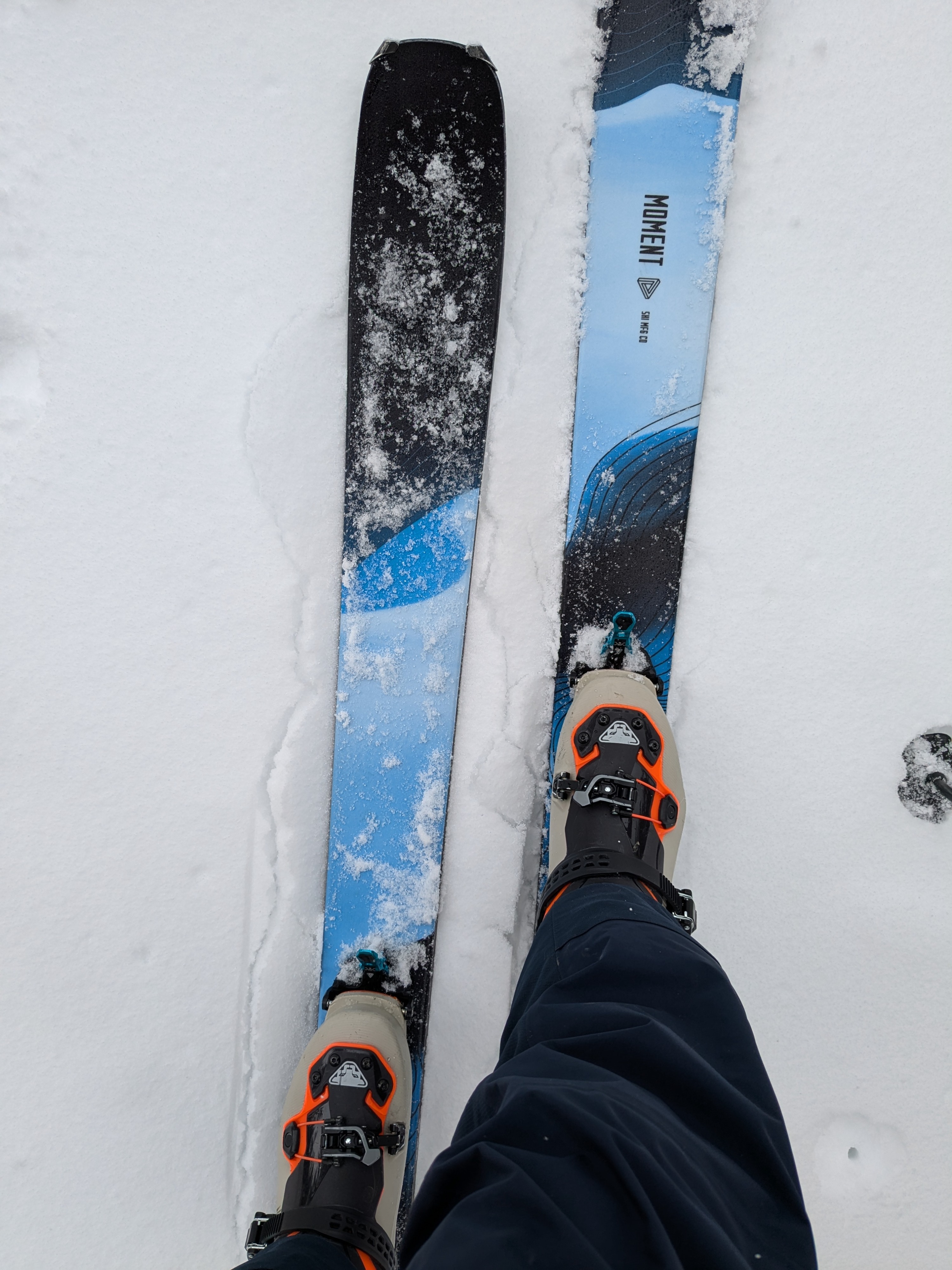
We toured the Yuba Pass/Lincoln Ridge area this morning. There was only 0.5 to 1 cm of new snow on the surface. Underneath this new snow there was a widespread, 1 F hard, 2 cm thick crust that was evenly distributed across all aspects, suggesting that precipitation in this area last night started as rain before transitioning to snow. This rain crust was ski supportable at and below 7,200'. Above 7,200' the crust became increasingly breakable with skis penetrating right through it, into the softer snow from the last storm. This rain crust was present along the top of the ridge at 7,800'.
We noted around 4 inches of snow in this area from Sunday's snowfall and previous wind loading up to 1 foot deep around some cornice areas. No cracking of any kind was triggered today in these previously wind loaded areas. Winds today were light with no drifting snow observed.
Weather
- Cloud Cover
- overcast
- Wind Loading
- none
- Rain Elevation
- Above 7,800'
- Recent Snowfall
- 0.5 to 1 cm
- Snow Avail For Transport
- small smounts
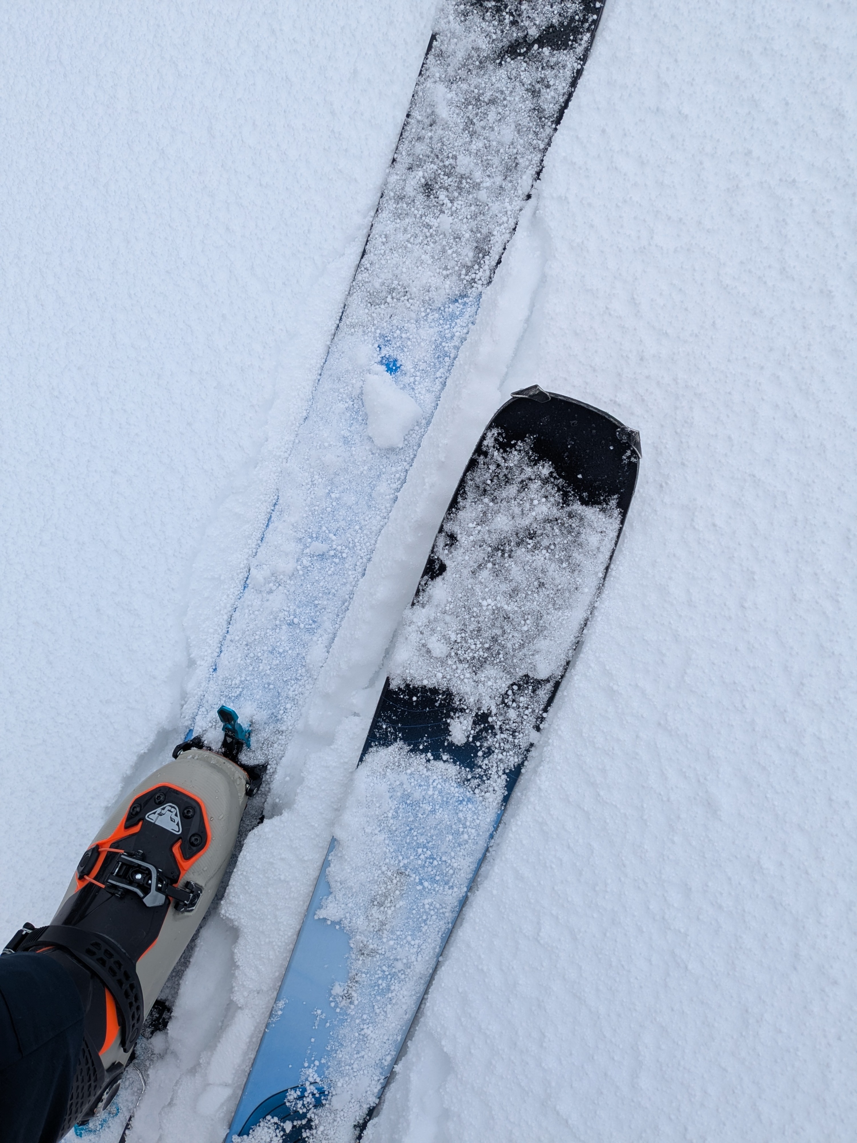
Periodic light snow flurries, very occasional, shorted lived convective showers of graupel.