
Quick report
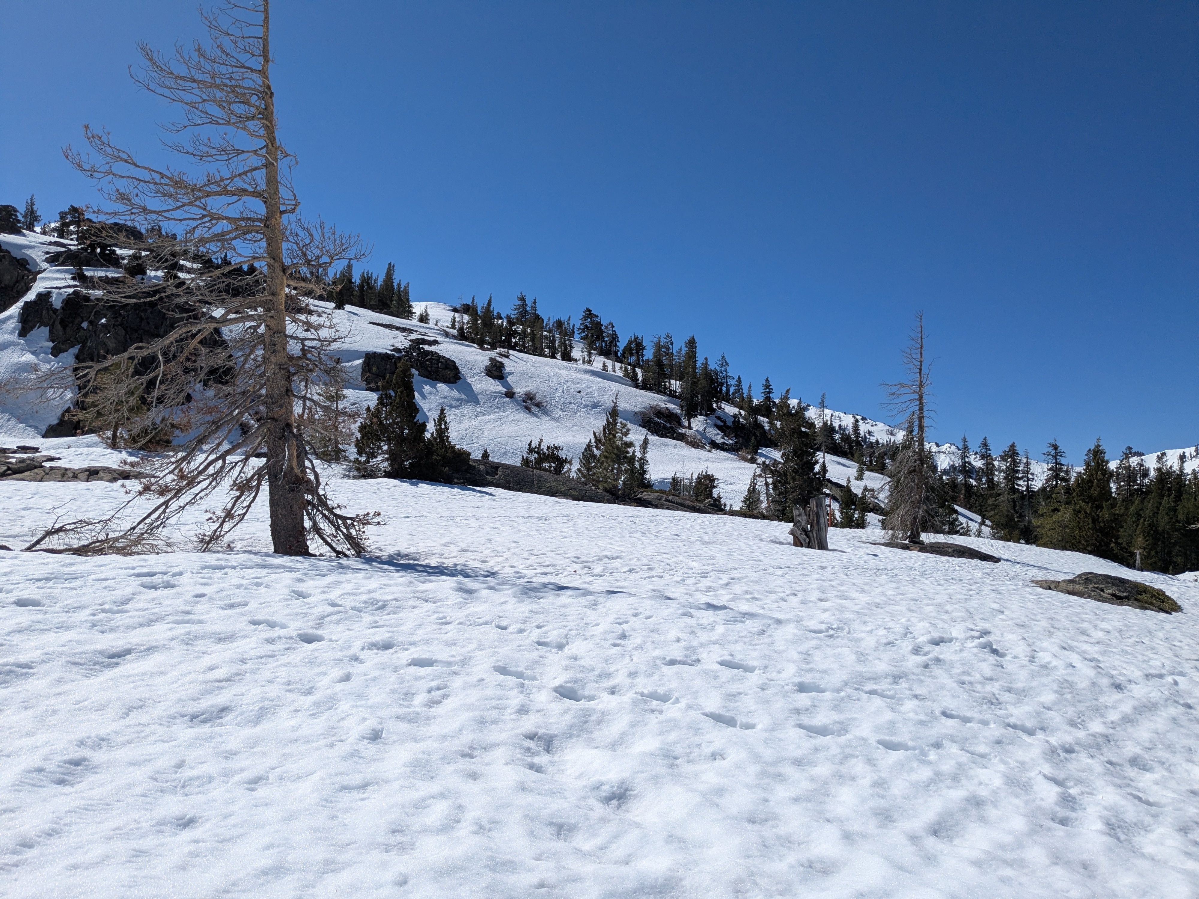
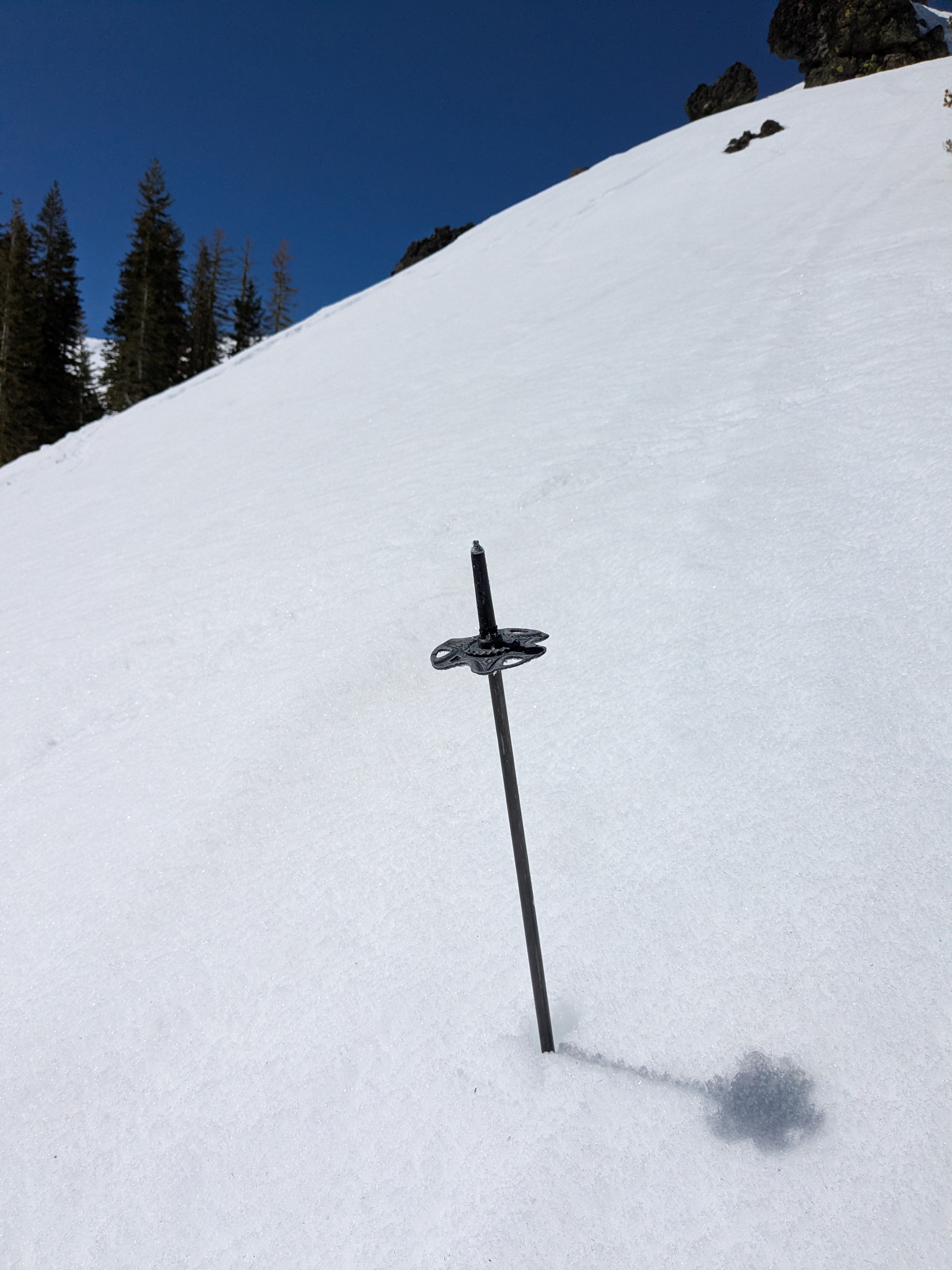
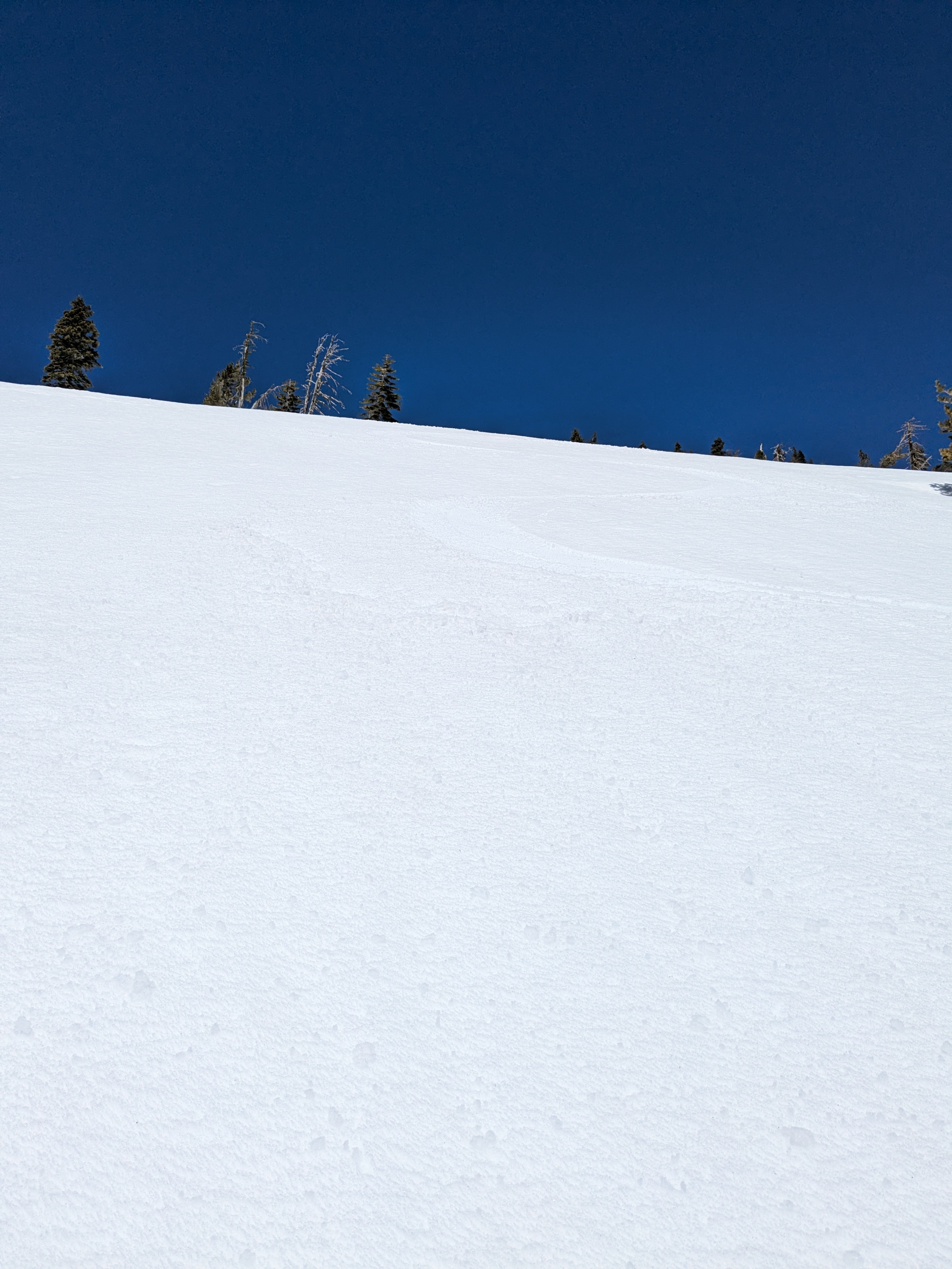
With the expected strong snow surface refreeze last night, I planned a 10:30 am start this morning for Mt. Judah. On my arrival on the top of Donner Pass, the top 6 inches of the snowpack was K hard melt-freeze crust. Some sun exposed, wind protected areas were just starting to soften. I appreciated having my ski crampons for the steeper portions of the northerly aspect ascent.
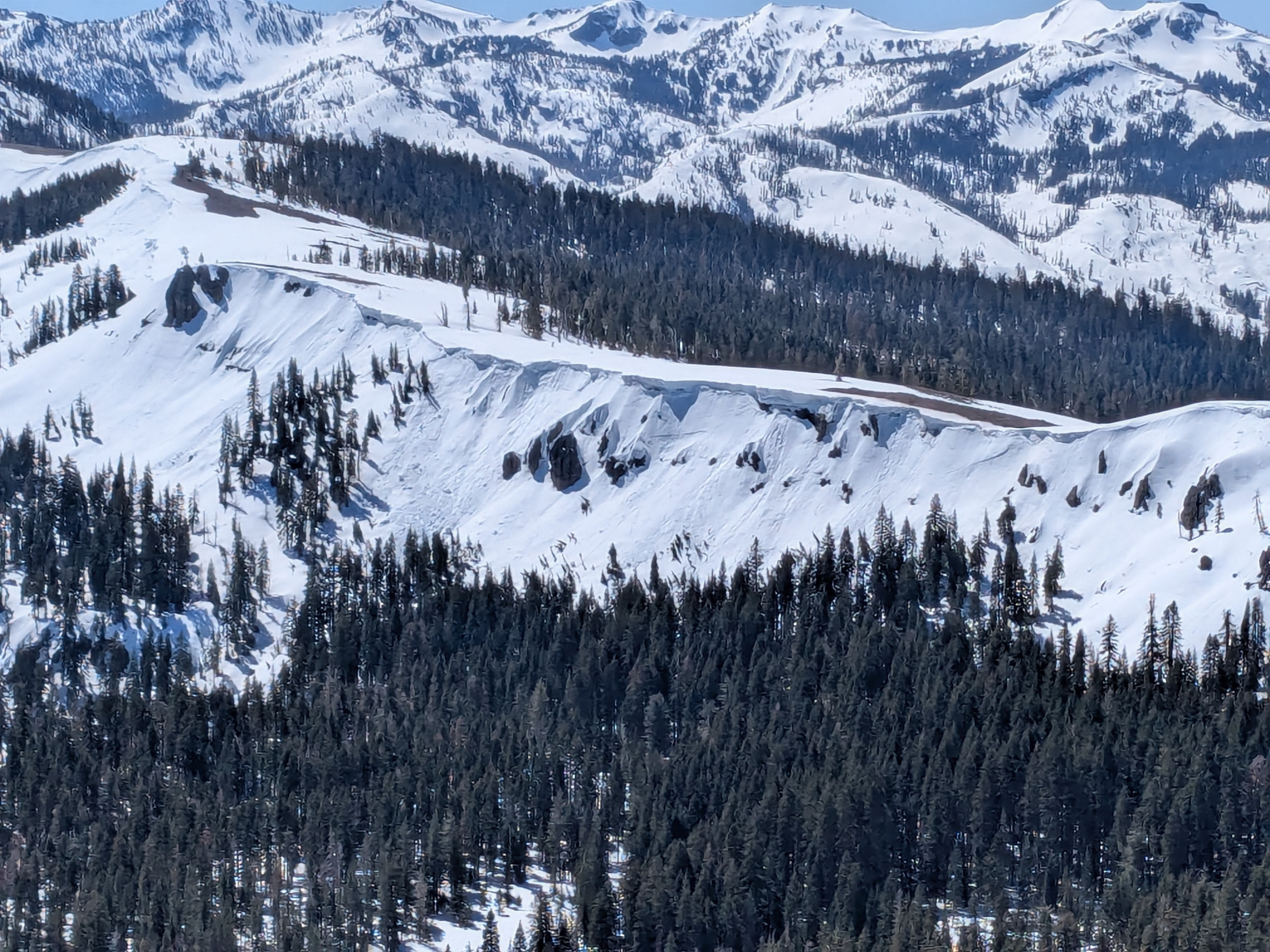
Ridgetop winds were stronger than forecast with gusts 40 to 45 mph rather than the forecast 30 mph. This kept the snow surface from melting in wind exposed areas. By 11:30 am, sun exposed, wind protected slopes held 1 to 2 inches of soft corn over supportable melt-freeze crust. By 12:30 pm, this had increased to 1 to 3 inches in wind protected areas across all aspects, still over supportable crust. The snow surface on wind exposed slopes and ridgetop areas remained frozen when I exited the general area just before 1 pm.
Weather
- Cloud Cover
- clear
- Wind Loading
- none
- Snow Avail For Transport
- none
NE winds were stronger than forecast with ridgetop gusts 40 to 45 mph.