

Quick report
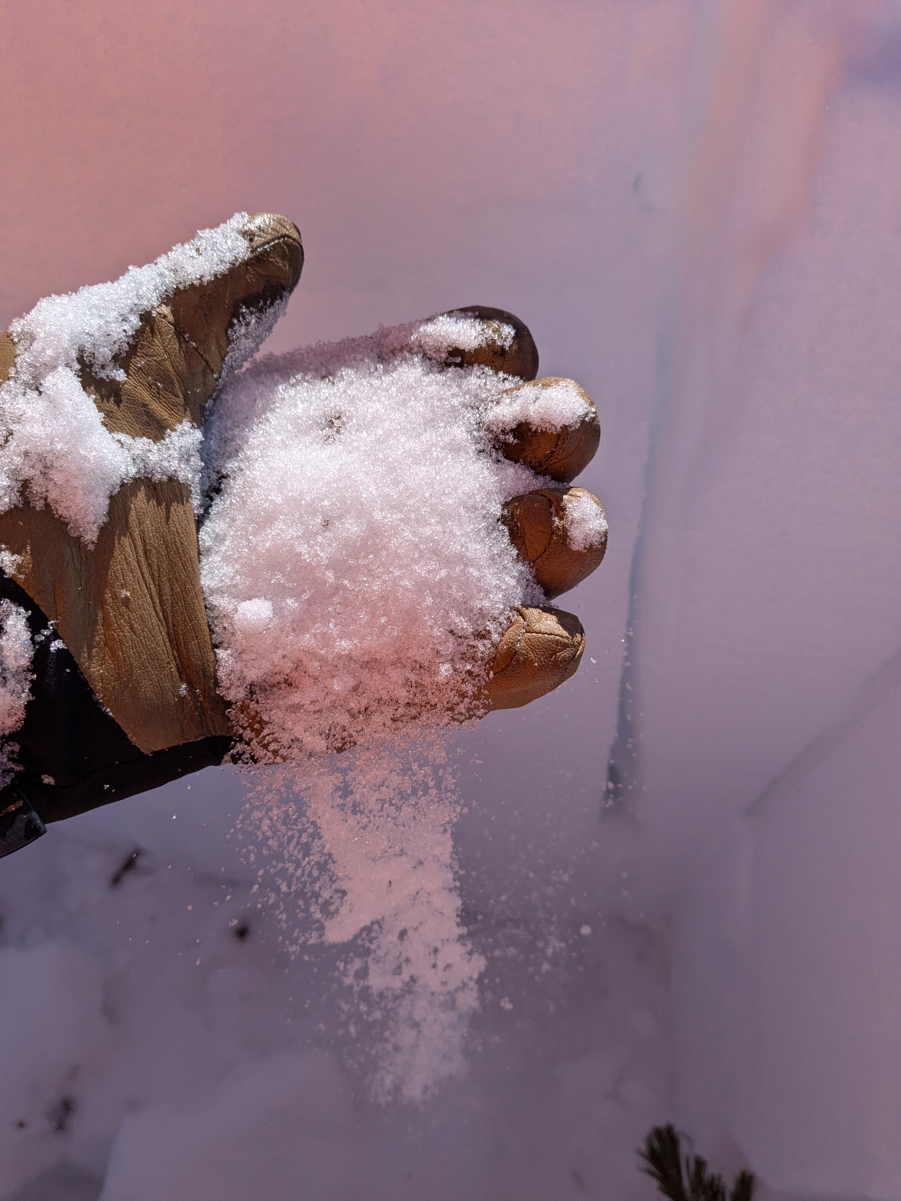
We toured out to the NW of Incline Peak today. Across wind protected shaded slopes, 4 to 5 inches of recent storm snow remains. Many solar aspects were wind scoured. Portions of solar aspects that were not wind scoured held 1 to 2 inches of settled recent storm snow. While the day was warming, the snow surface was not getting wet in areas of direct sun exposure at 9,000'. We saw no blowing snow today.
We dug into the snowpack on the edge of an upper elevation avalanche start zone at 9,680' that wind loads under SW storm wind conditions. HS was fairly shallow here at 1 m. I could push the handle end of my ski pole all the way to the ground without much extra effort. There were some near surface facets, but the weakest snow was at the base of the snowpack. One of our ECTs yielded a propagation result along the top of the basal facet layer. This layer was once early season depth hoar. It gives some pause about the potential for failures deeper in the snowpack in the eastern and southern portions of the forecast area now that the potential for a series of AR storms is on the horizon.
Weather
- Air Temp
- 24
- Cloud Cover
- clear
- Wind Loading
- none
- Snow Avail For Transport
- small smounts
Snowpack
Basal facets still exist in a weak state (dry, loose grain) at the bottom of the snowpack on upper elevation northerly aspects.