
Quick report
We toured NW to W aspects on Castle Peak above Round Valley and on the E to SE aspects of Andesite Peak this morning. Between 9 am and noon there was 3 to 4 inches of new snow in the area, fairly evenly distributed across all aspects at and below treeline. Most of the new snow fell last night, will little additional accumulation in this area between 9 am and noon.
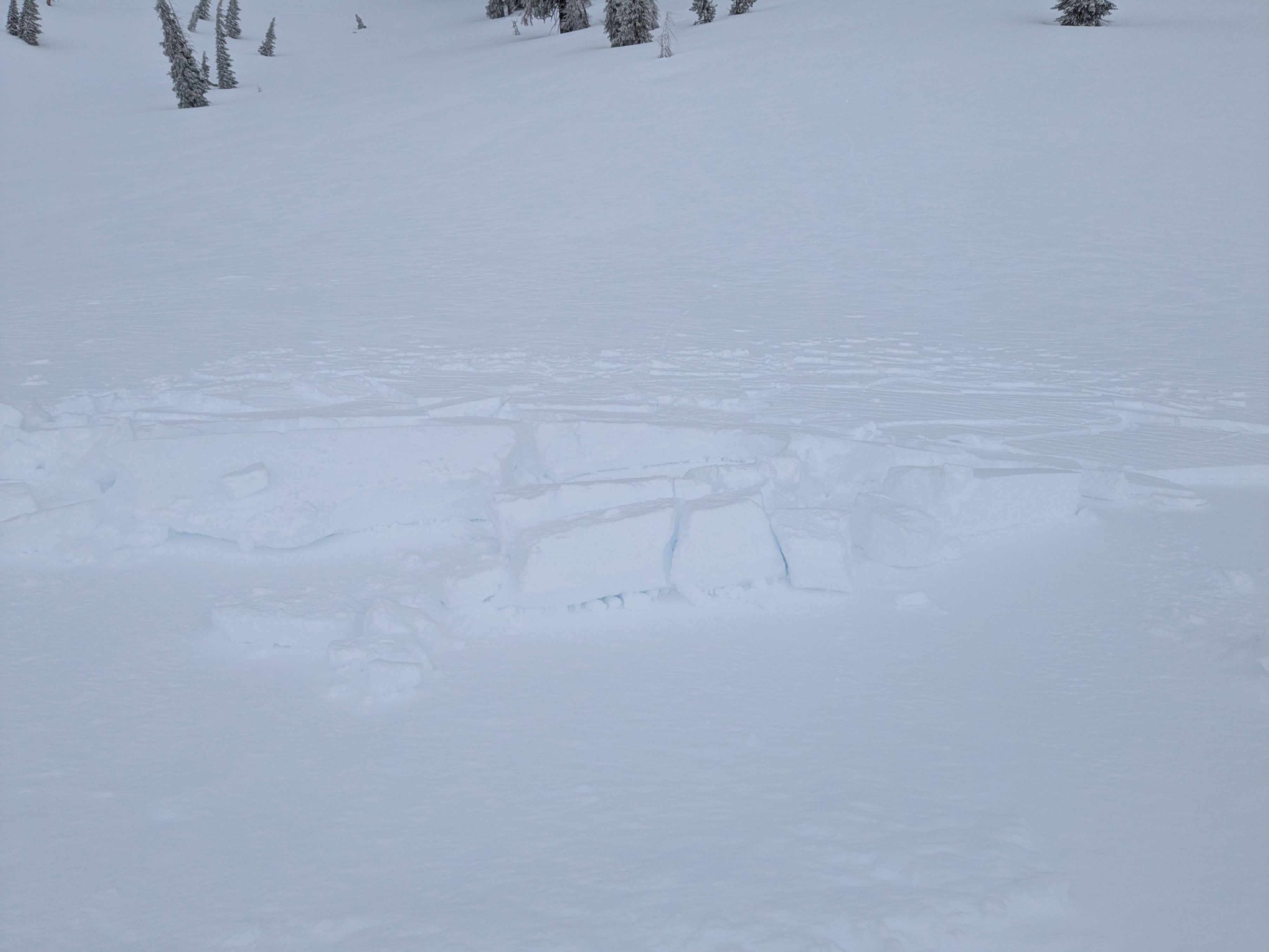
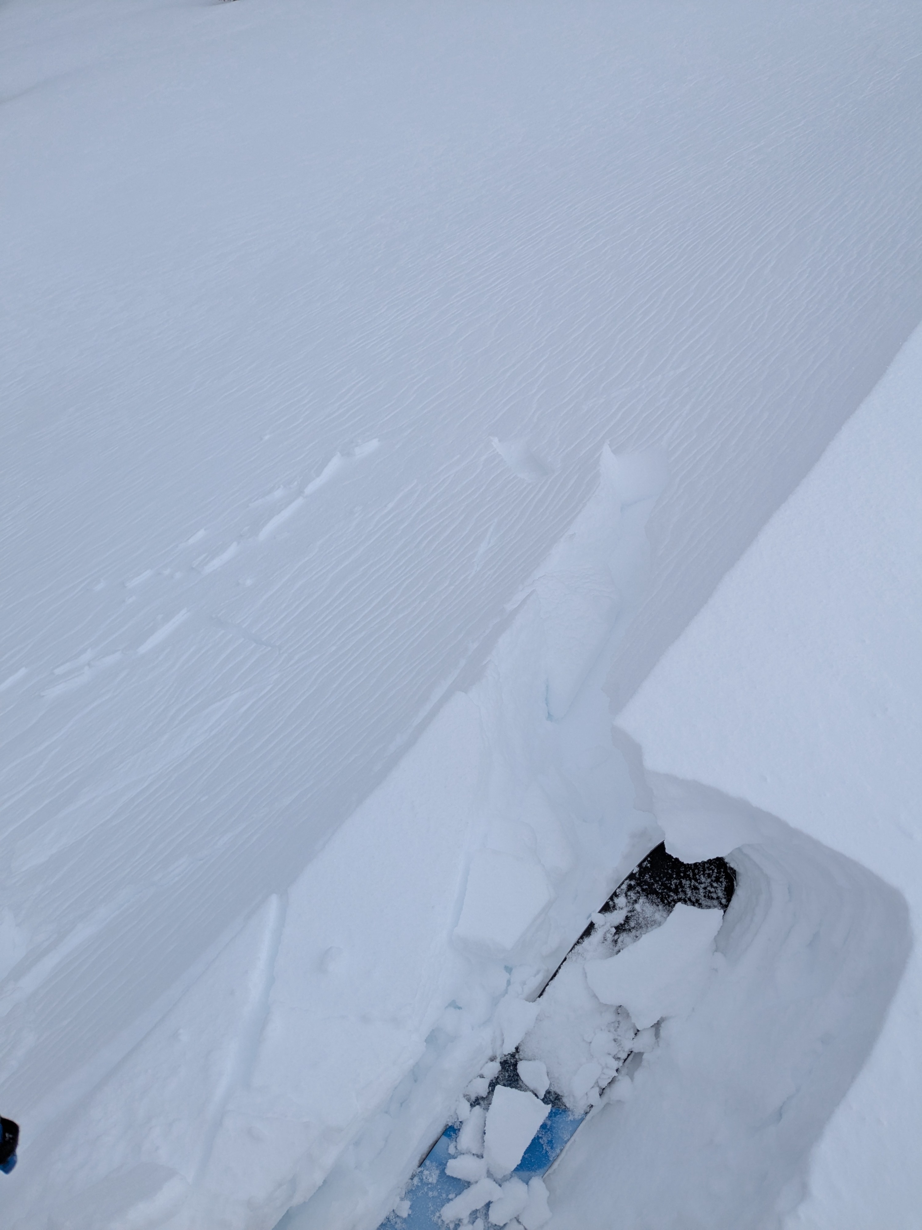
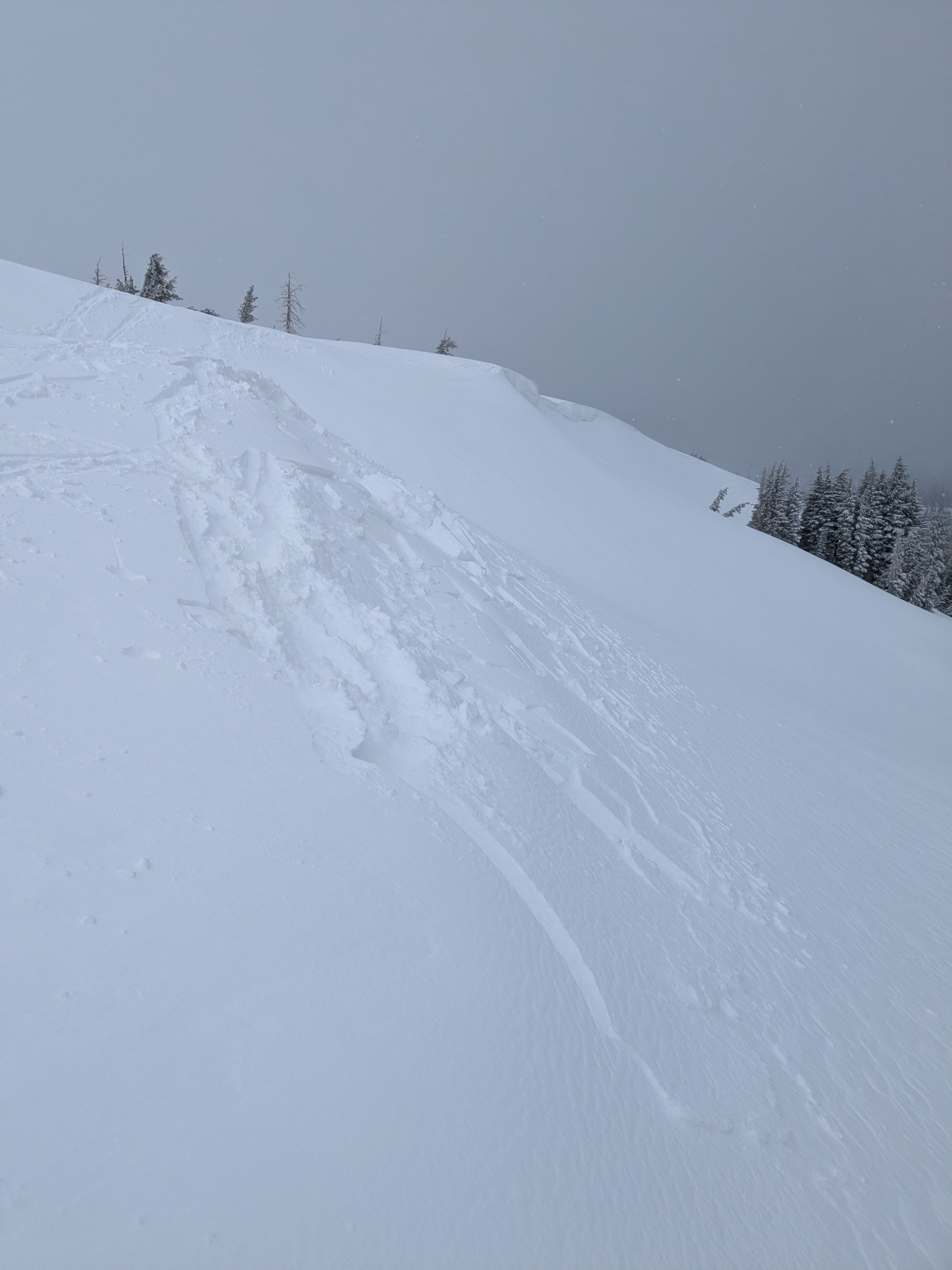
Light to moderate speed SW winds were drifting snow in specific areas, but wind slabs were not present in all areas below cornice features. We intentionally triggered some size D1 wind slabs on WNW aspect terrain on Castle Peak near 8,300'. These wind slabs were up to 10 inches deep, but did not extend very far down slope. These wind slabs failed within the new snow. Below the failed wind slab was another 2 to 3 inches of recent storm snow on top of the melt-freeze crust buried last night. The warm to cold nature of the storm allowed for some bonding to occur at the old/new snow interface, but not enough to make skinning easy on steeper slopes.
We noted a couple of other size D1 wind slab avalanches. One that had been triggered by cornice collapse on ENE aspect, ATL terrain on Andesite Peak and another that had been triggered by a snowshoer on N aspect terrain on the SW Ridge of Castle Peak near 8,250'.
Active light to moderate wind loading. New winds slabs failed easily in places where they were well developed, but did not extend more than a few meters down slope.Weather
- Cloud Cover
- overcast
- Wind Loading
- moderate
- Recent Snowfall
- 8 to 10
- Snow Avail For Transport
- moderate amounts
Off and on snow showers, mostly light at <S1. Occasional short lived convective showers of higher intensity.