
Quick report
- Cracking
- specific
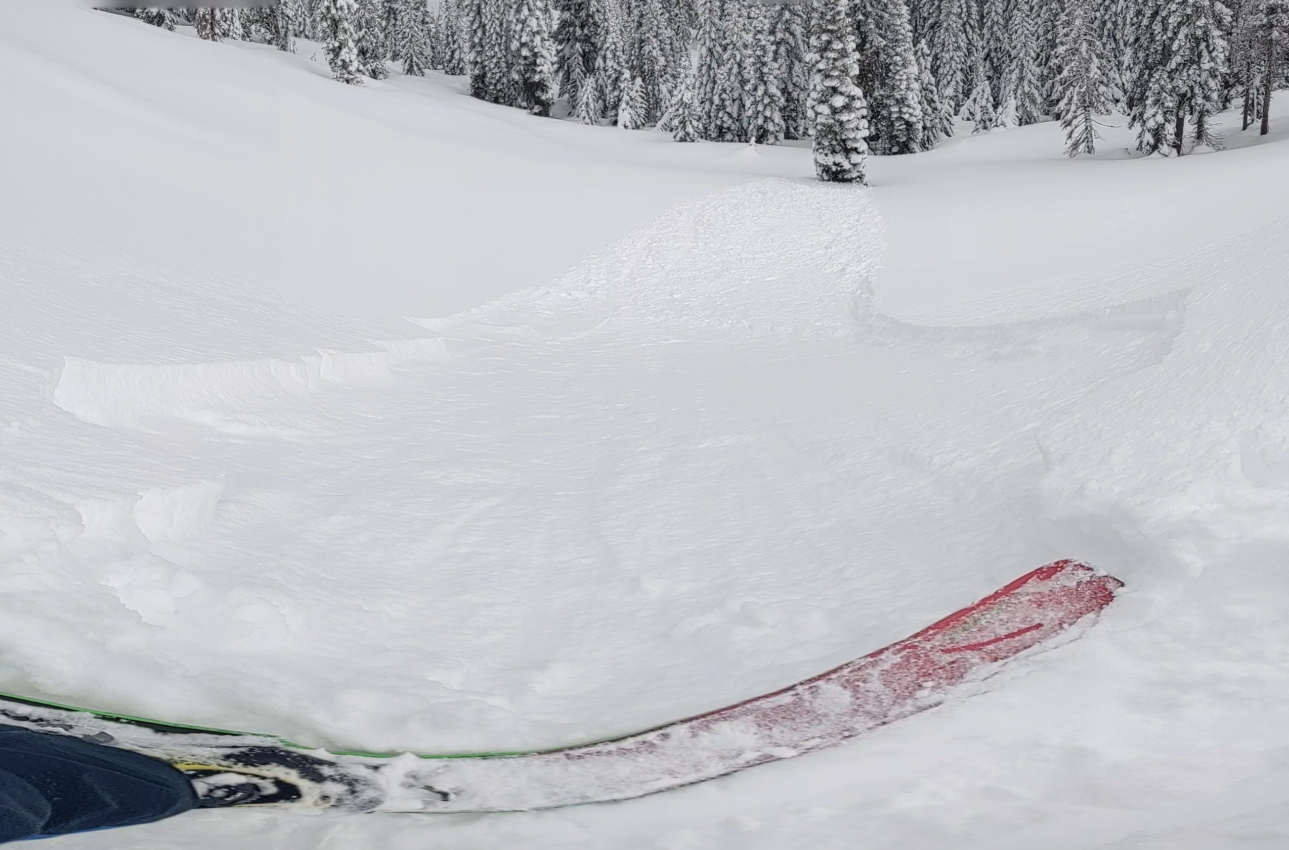
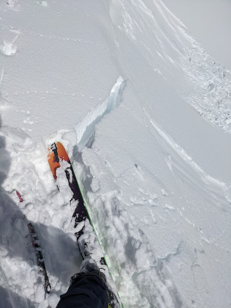
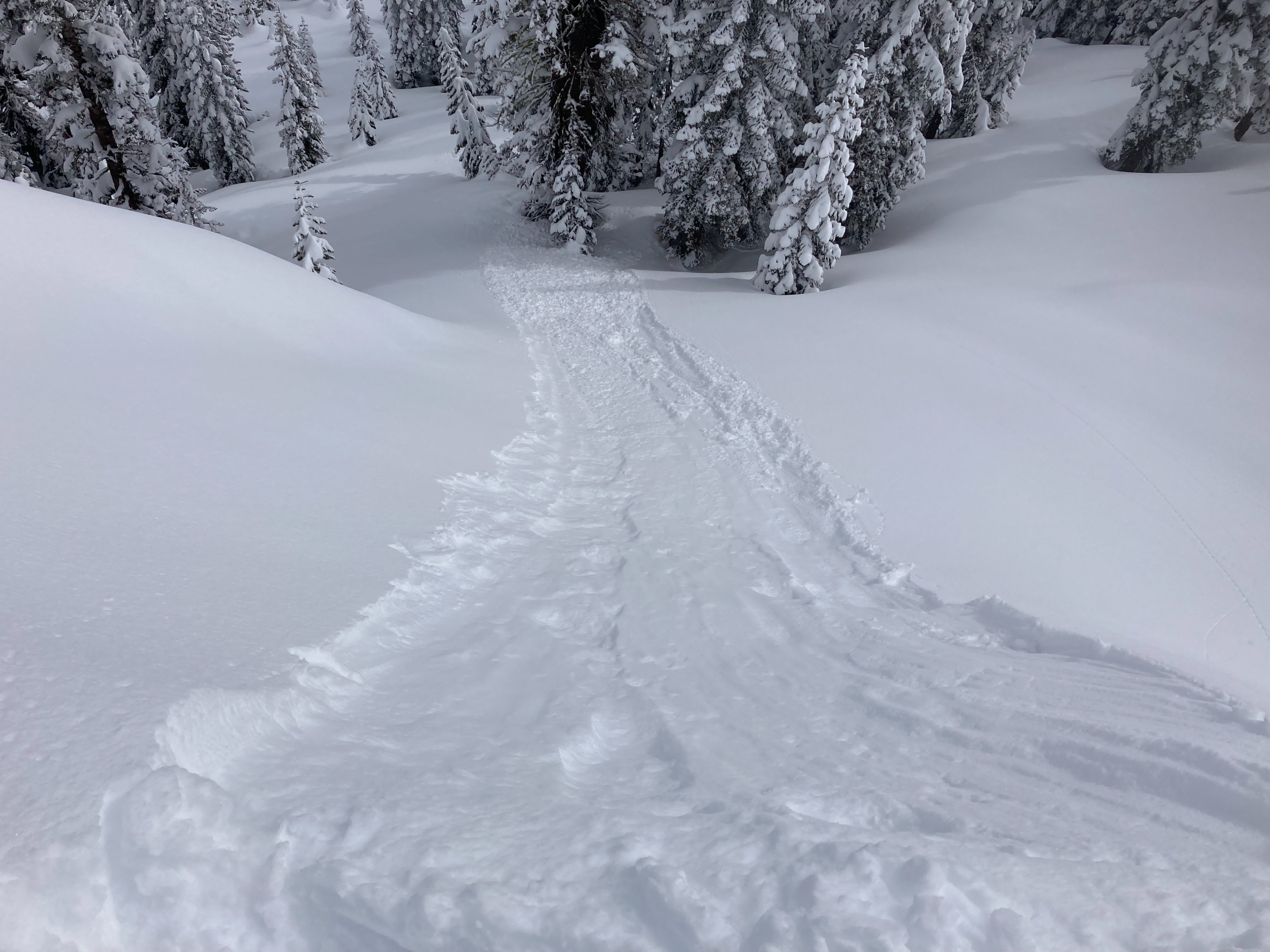
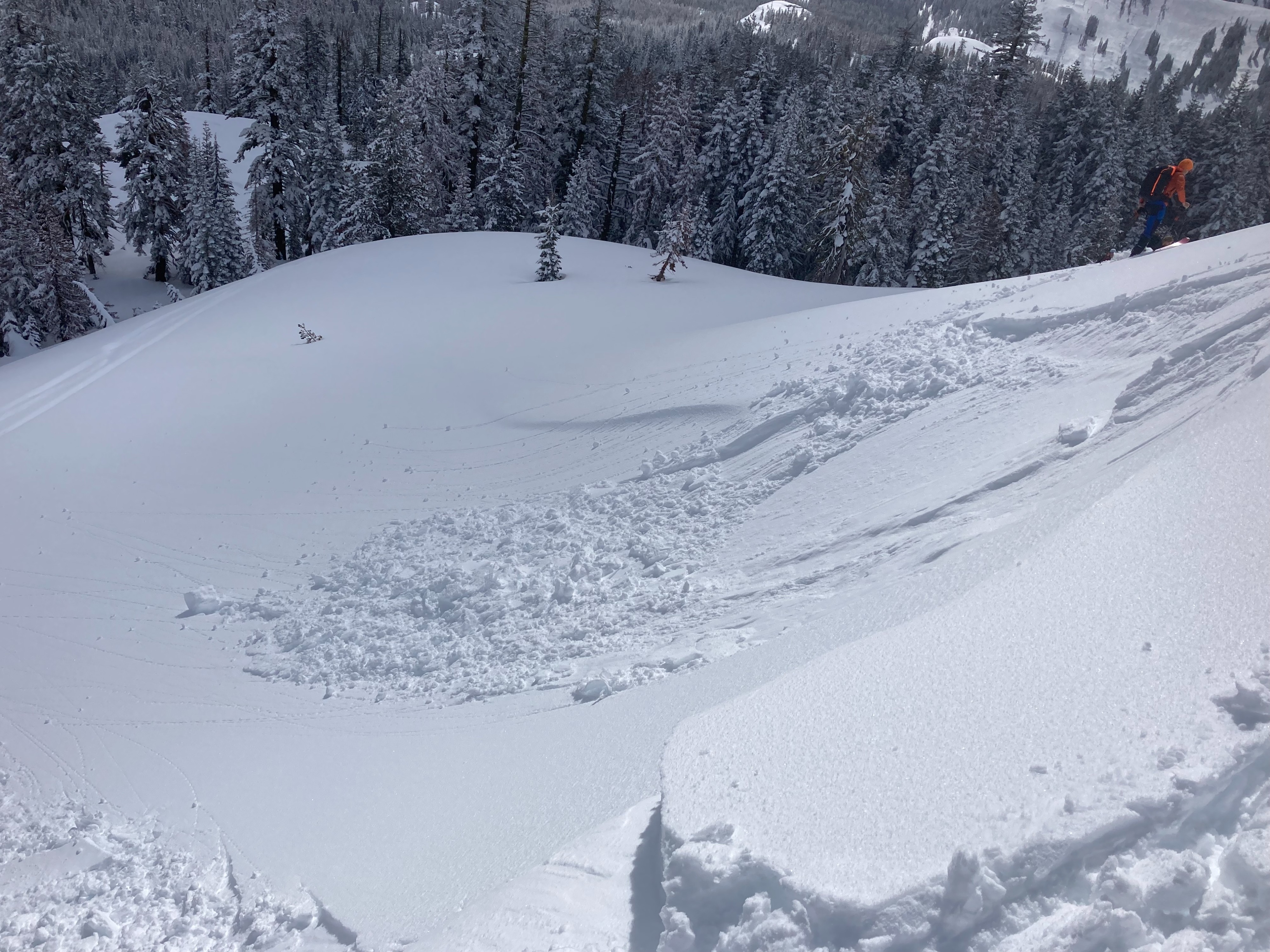
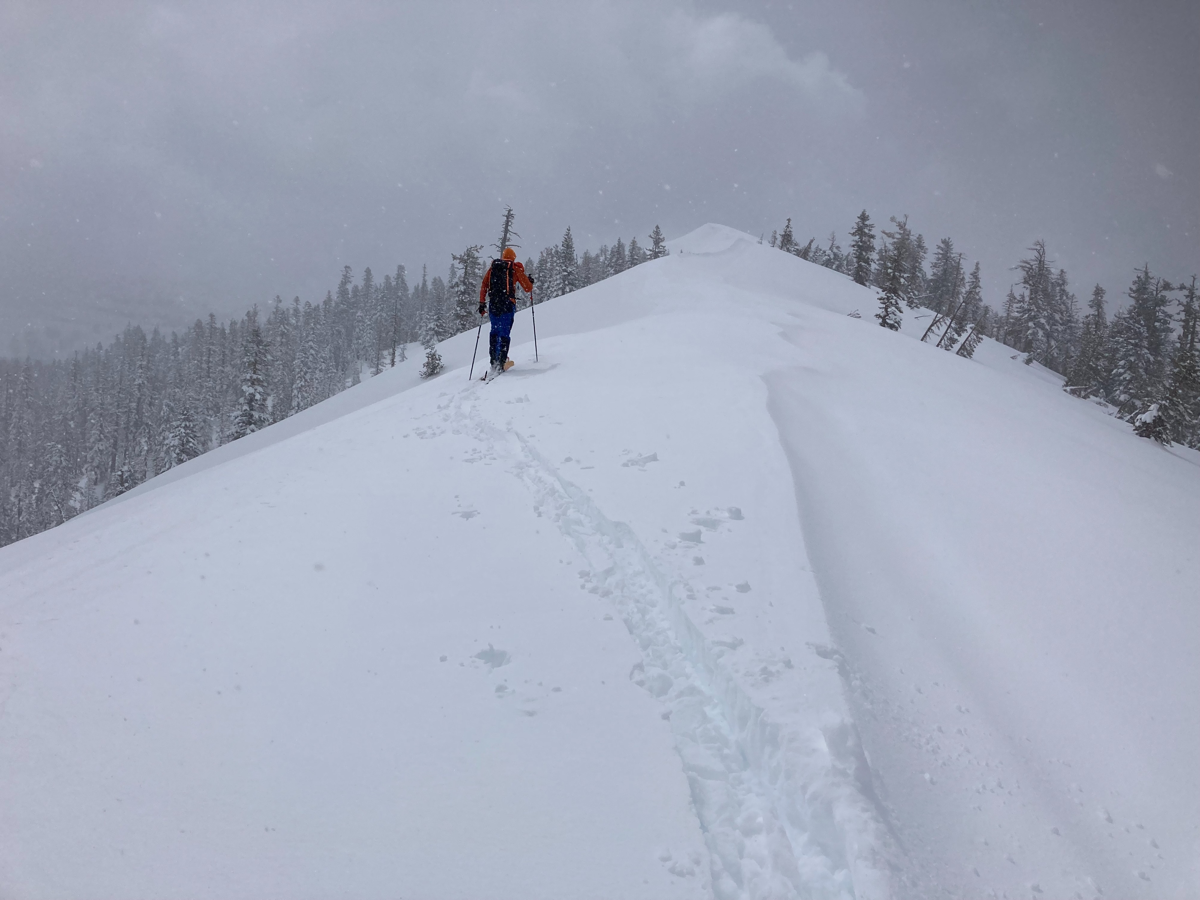
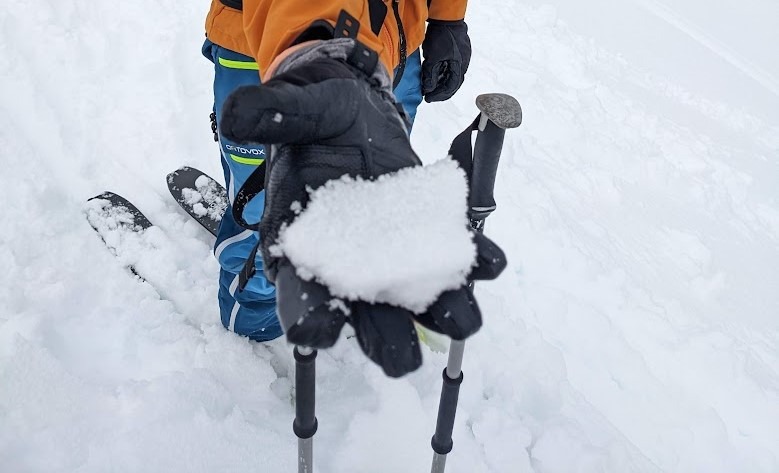
We toured in the Andesite Peak area today. Up to 8'' of new snow was found here this morning. Warming temperatures with a couple hours of partial sun occured this morning before clouds and light snow showers returned by midday. This period of sun created wet and heavy surface snow quickly on sun exposed slopes this morning. As the clouds and light snow returned, the wet snow became a thin sun crust on these sun exposed aspects. The recent SE-S winds created wind slabs in unusual locations than our normal SW winds. These wind slabs would crack and propagate somewhat, but would fail more like dry loose avalanches. These dry loose avalanches occurred in wind loaded areas and wind protected locations and would travel long distances in steeper terrain. Most of these were failing on the new snow/old snow interface and some also failed within the recent storm snow.
Weather
- Cloud Cover
- broken
- Wind Loading
- light
- Recent Snowfall
- 20
- Snow Avail For Transport
- large amounts
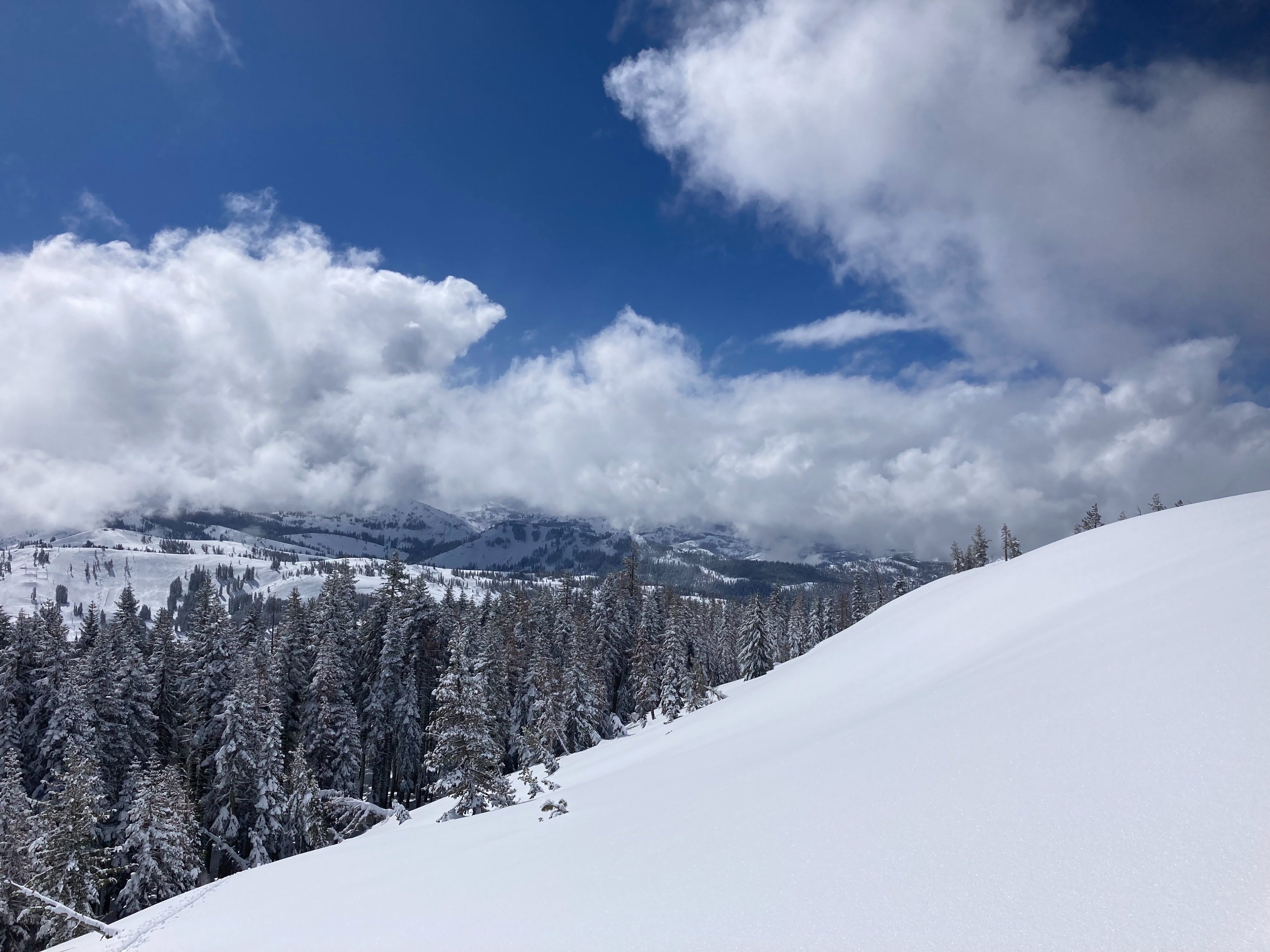
Clearing skies this morning with a period of a couple hours of sun mid to late morning. Clouds came back in with light snow showers starting at noon. Winds were light throughout the day with evidence of light wind loading overnight. Moderate amounts of snow remain available for wind transport if wind speeds increase.