
Quick report
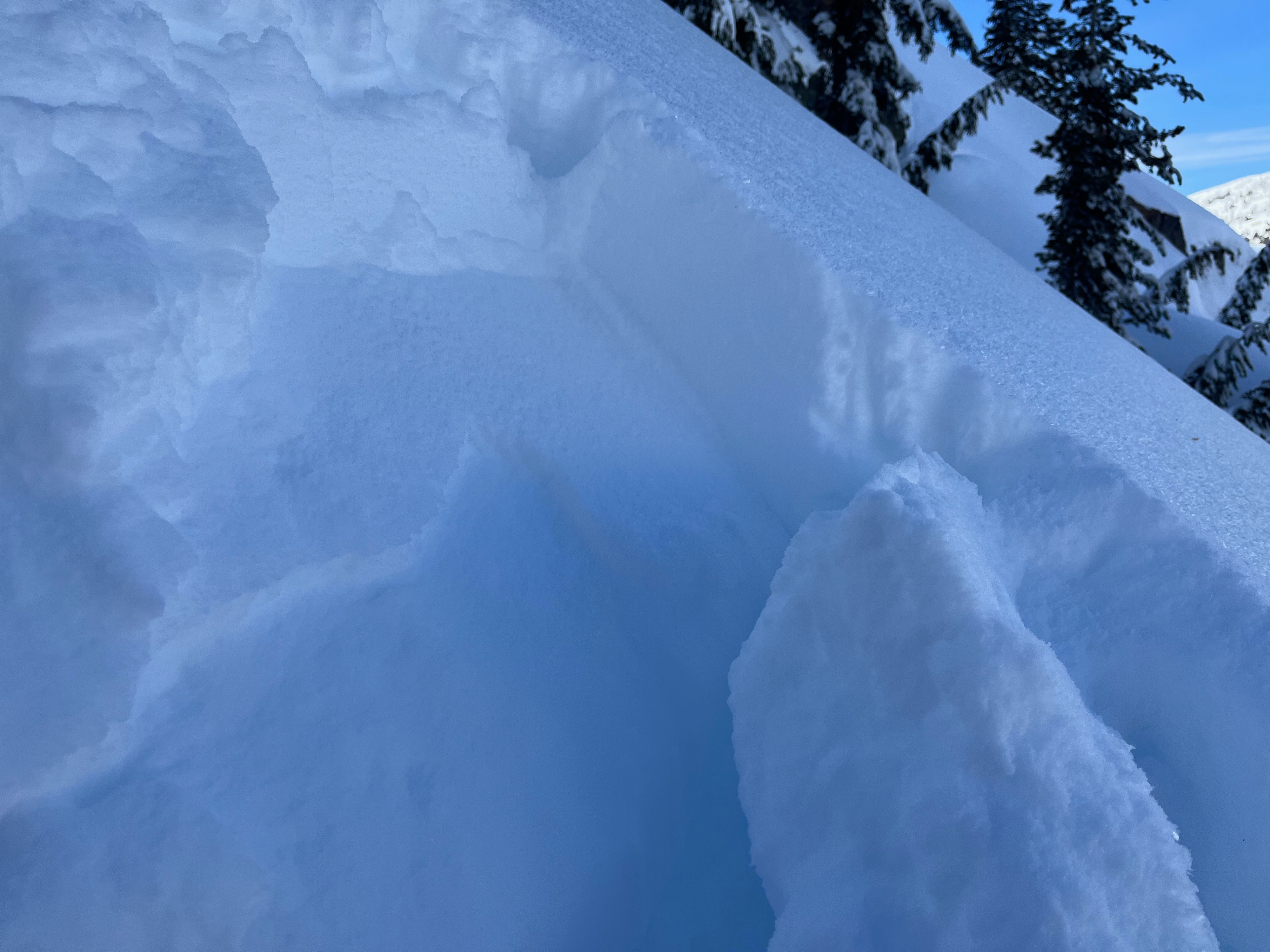
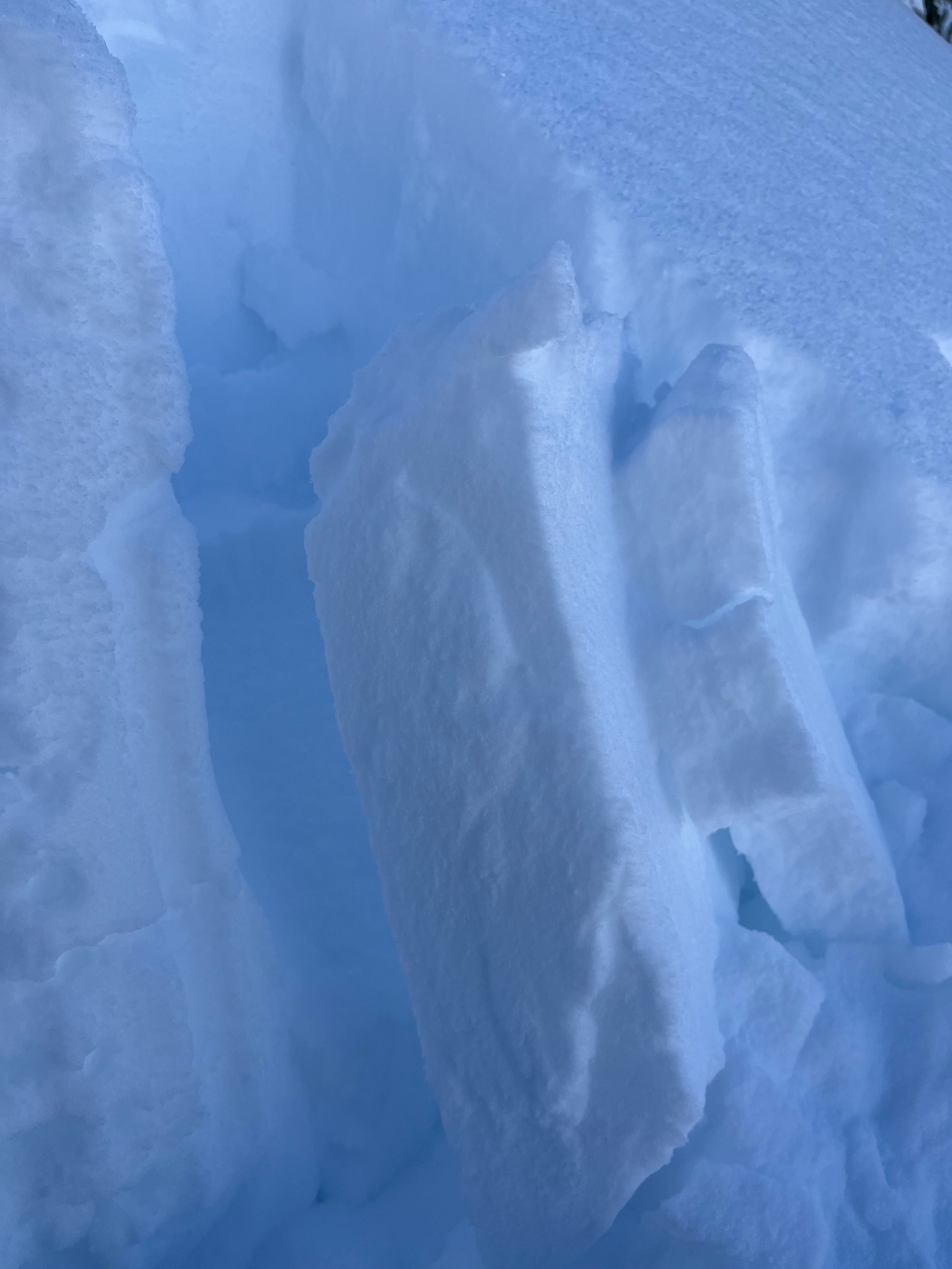
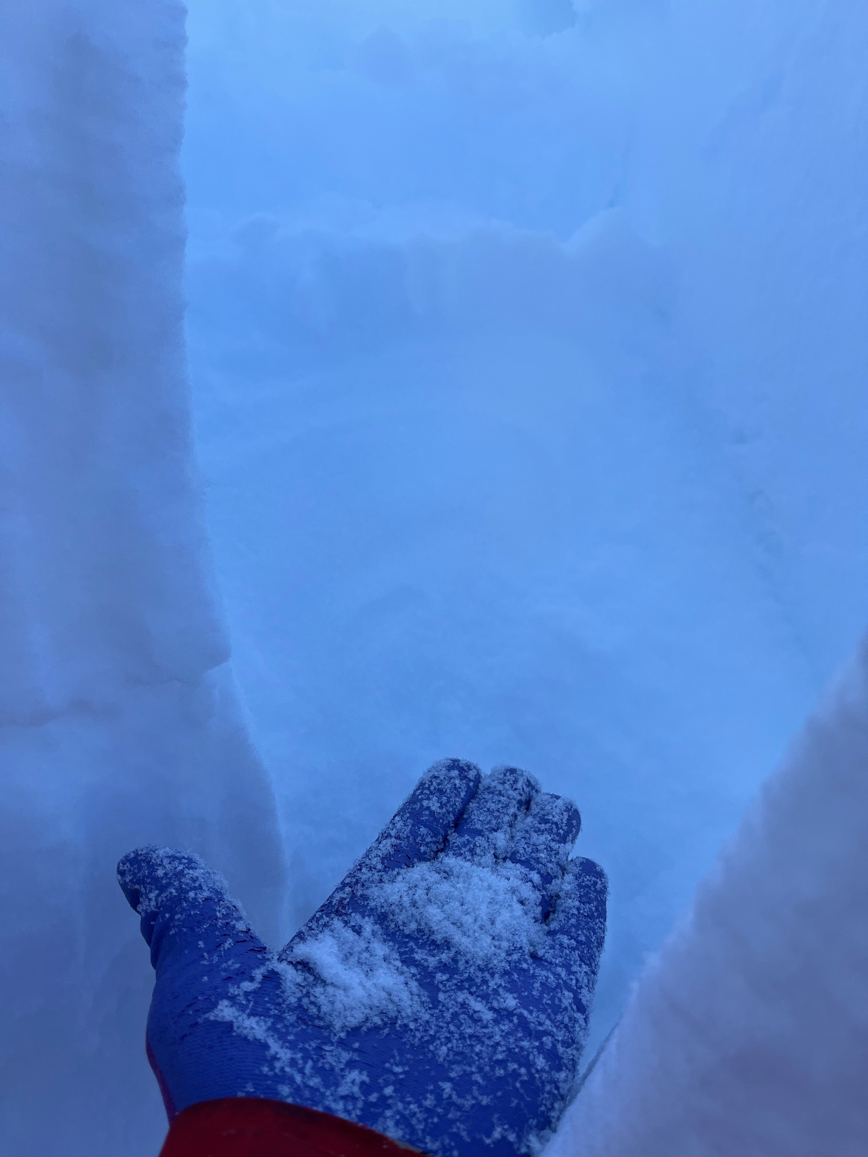
- surface hoar development above the 7k elevation band is notable in the Frog/Castle/Warren Lake basins. We found widespread 6-8mm surface hoar in sheltered terrain BTL, on all polar aspects. - after observing the natural avalanche in the Warren Lake basin, I dug in at a similar aspect (NNE) and elevation (7730 ft) to investigate the snowpack structure. HS 305 cm (!!!). The upper meter of the snowpack was comprised of about 20cm of precip/decomposing/fragmented particles sitting on a defined 2.5 cm P rain crust sitting on 75cm of 4F facets - CT21 down 40 cm, failed in the old snow (facets) below the rain crust. A shovel shear of the column after failure produced the photo (attached) that shows 2 clearly defined slabs (just below the rain crust and down 60cm within the old snow/facets - ECTN19 down 35 cm - no other signs of instability noted
Avalanche
- Size
- D2
- Aspect
- NE
- Trigger
- N
- Elevation
- 7715 ft
observed a natural avalanche that appeared to have released during the recent storm event. Didn't get the best view, but it appeared to have started as a wind slab avalanche and stepped down to deeper persistent layers