
Quick report
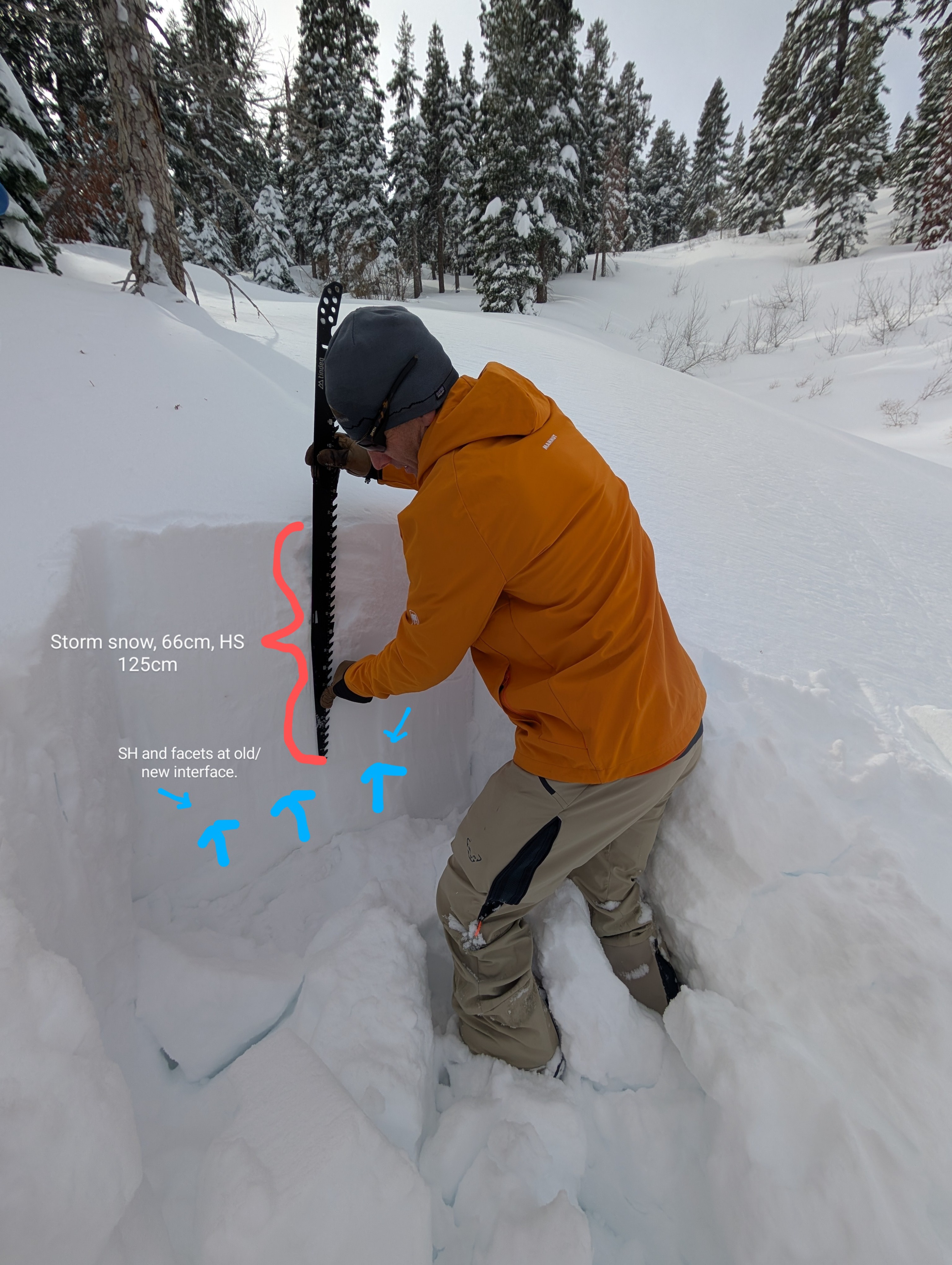
We returned to Peak 8,901' today, knowing that large surface hoar and near surface facets were widespread in this area prior to the recent storm. There was just over 2 feet of settled storm snow in this area. Across northerly aspects, it was on top of laid down surface hoar and facets at the old/new snow interface. We traveled several miles of NW, NE-E-SE-S aspect terrain without triggering any snowpack collapses or whumpfs, which was unexpected.
We expected to enconter whumpfing in this area, but triggered none.Weather
- Wind Loading
- light
- Recent Snowfall
- 66
- Snow Avail For Transport
- moderate amounts
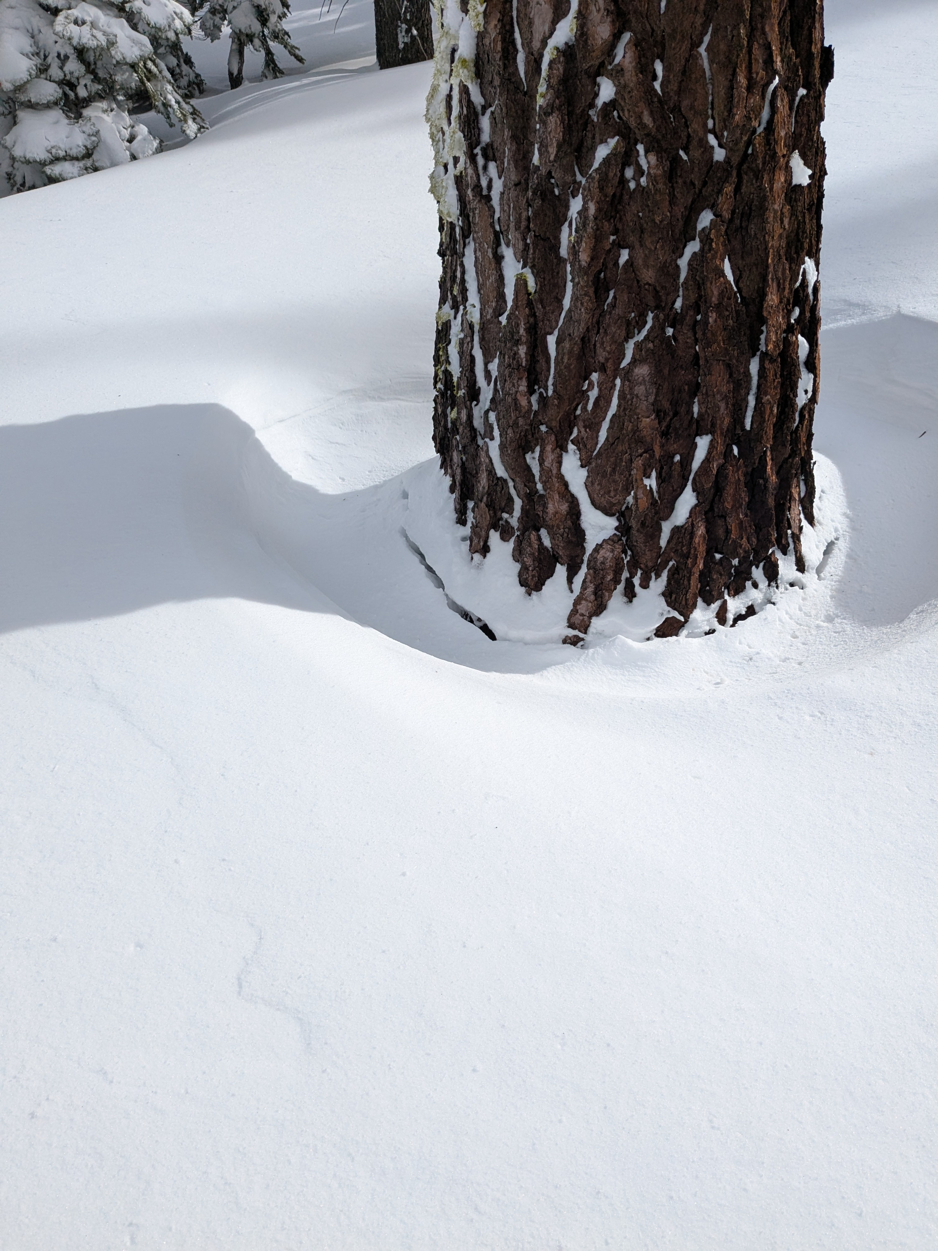
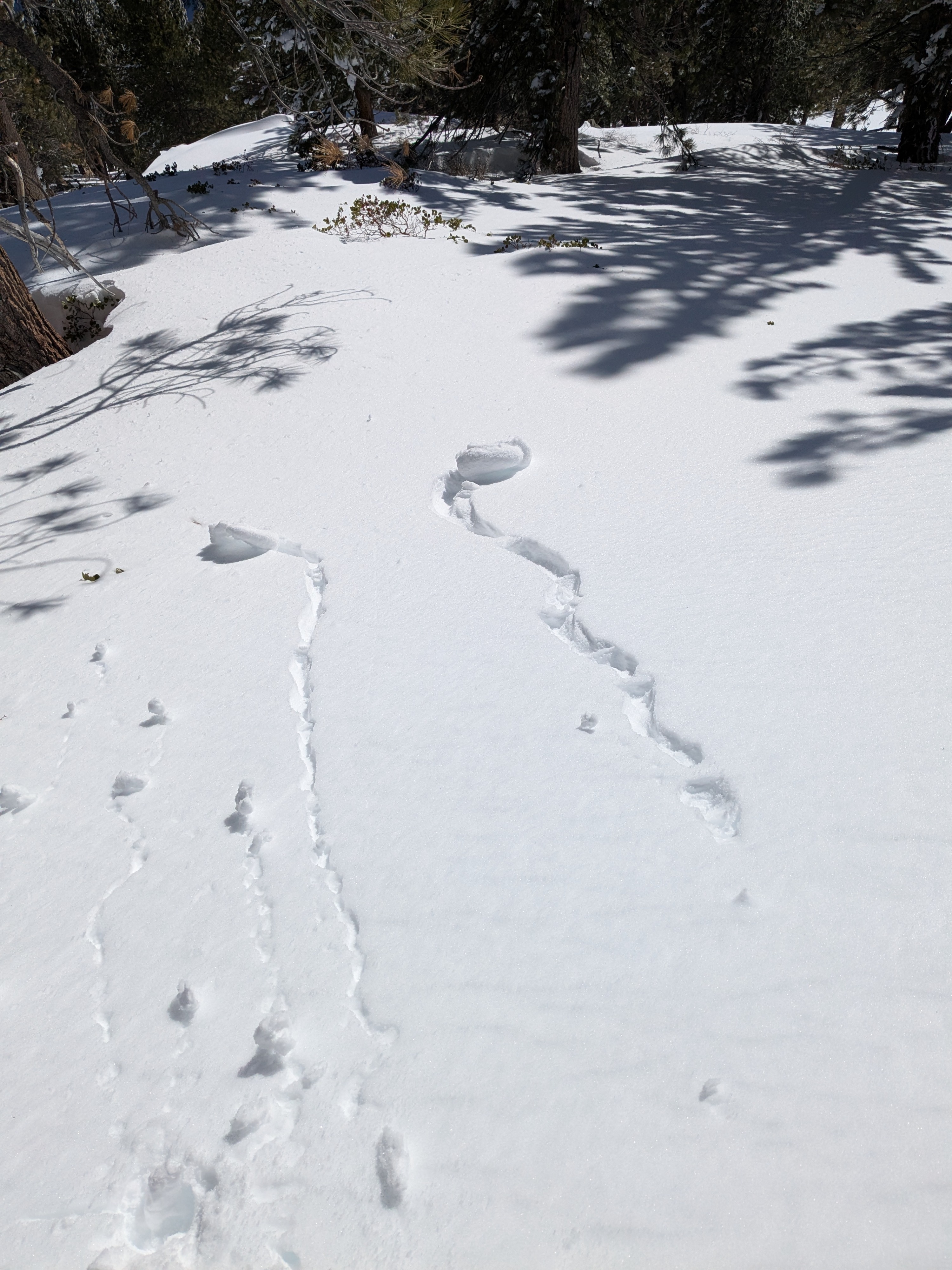
High level overcast during the late morning hours gave way to clear skies in the early afternoon. Air temps warmed above freezing.
Snowpack
We measured 66 cm of recent storm snow with signs of 5 to 8 cm of settlement. Surface hoar at 5 to 10 mm was laid down at the old/new snow interface. Storm snow was right side up at F to 4F hard. Old, faceted snow below the old/new snow interface was 4F- hard. We dug a test pit on a NE aspect at 8,060'. The SH and facets at the old/new snow interface was unreactive in this location. Test results of CTN, DTN, and ECTX targeting the old/new snow interface. Areas of NE aspect terrain at and below about 8,000' felt like they had a poorer snowpack structure than areas higher up based on pole probing (weaker basal layers).