
Quick report
By morning, this area will have 2+' of settled snow since (2/1) resting on a stout crust and occasionally facets or surface hoar. Wind slabs are a concern in areas exposed to the wind. Storm totals are enough to cause loose snow issues on many steep slopes. These will run fast and far atop crusts. The widespread weak layer beneath all of this showed signs of healing on some slopes, but an ongoing storm will keep it on edge and any smaller slide has the potential to step down.
No hard signs of instability. One isolated collapse near a ridge where previous wind reduced the snowpack to a thin recent slab and basal facets.Weather
- Cloud Cover
- overcast
- Wind Loading
- previous
- Recent Snowfall
- 15 cm overnight. Snowing 1 cm per hour most of the day.
- Snow Avail For Transport
- large amounts
Light snowfall for the duration of my tour. It was pretty warm at the Headwaters Parking but I did not observe any rain. Very little wind, almost calm. As I drove home, light rain began around 6,000' near Lake Ck just north of Ketchum.
Snowpack
Valley Floor:
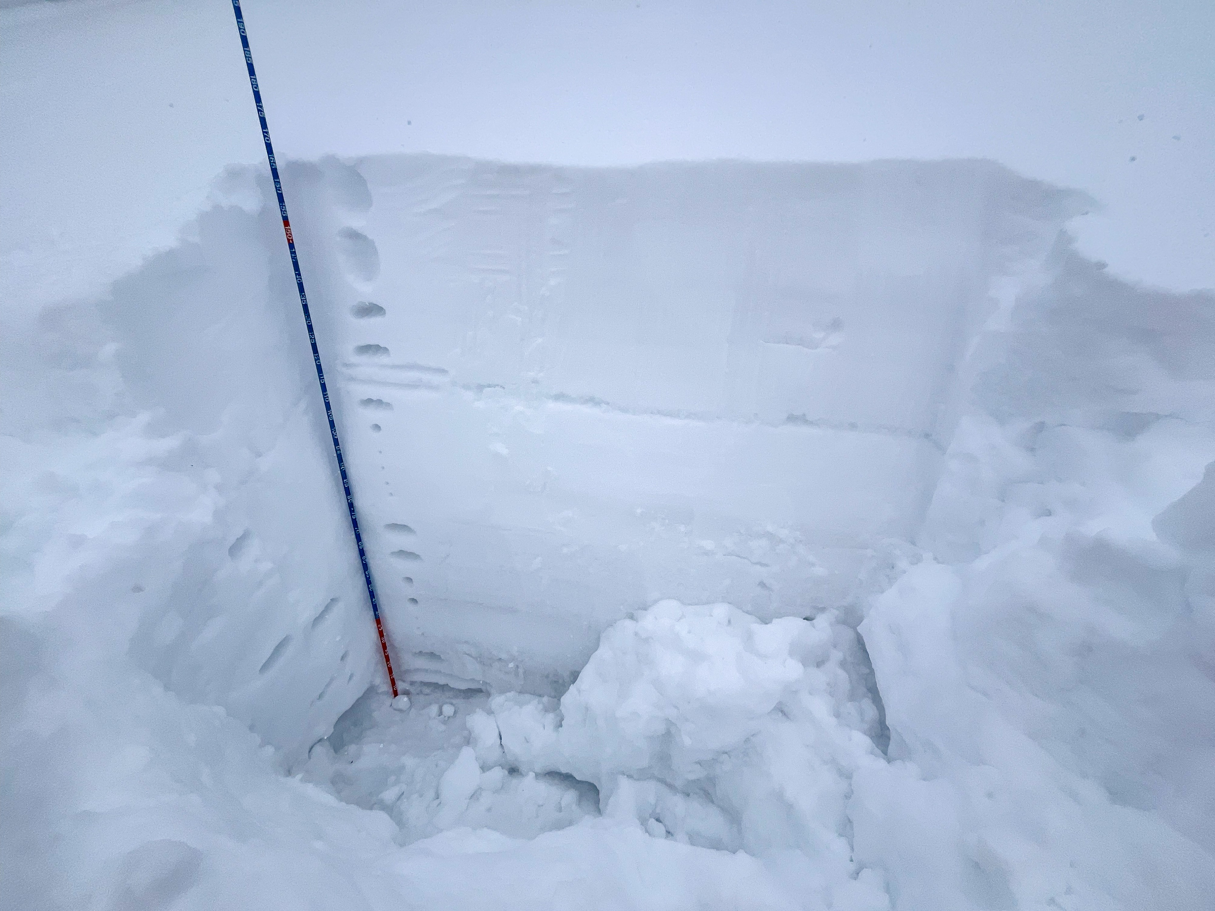
(2/1) presented as a 5 cm MFcr down 25 cm.
(1/6) was down 55 cm. The base of this slab was very dense.
W @ 7,900', HS = 115 cm:
The snowpack looked good here with a combination of a very thick crust at (2/1), the dense slab below, and moist clumping facets. (see photo)
N @ 8,300':
(2/1) presented as a 1.5 cm rain crust down 45 cm with very small facets above the crust and slightly bigger facets below the crust.
(1/6) was down 90 cm under a meaty slab.
NE @ 8,700':
(2/1) presented as a 1.5 cm rain crust down 46 cm with very small facets above the crust and slightly bigger facets below the crust. ECTX
(1/6) was down 105 cm (previous wind-load) under a very dense slab. The weak layer was a thick but fairly strong (4F+ to 1F-) layer of facets on the ground.
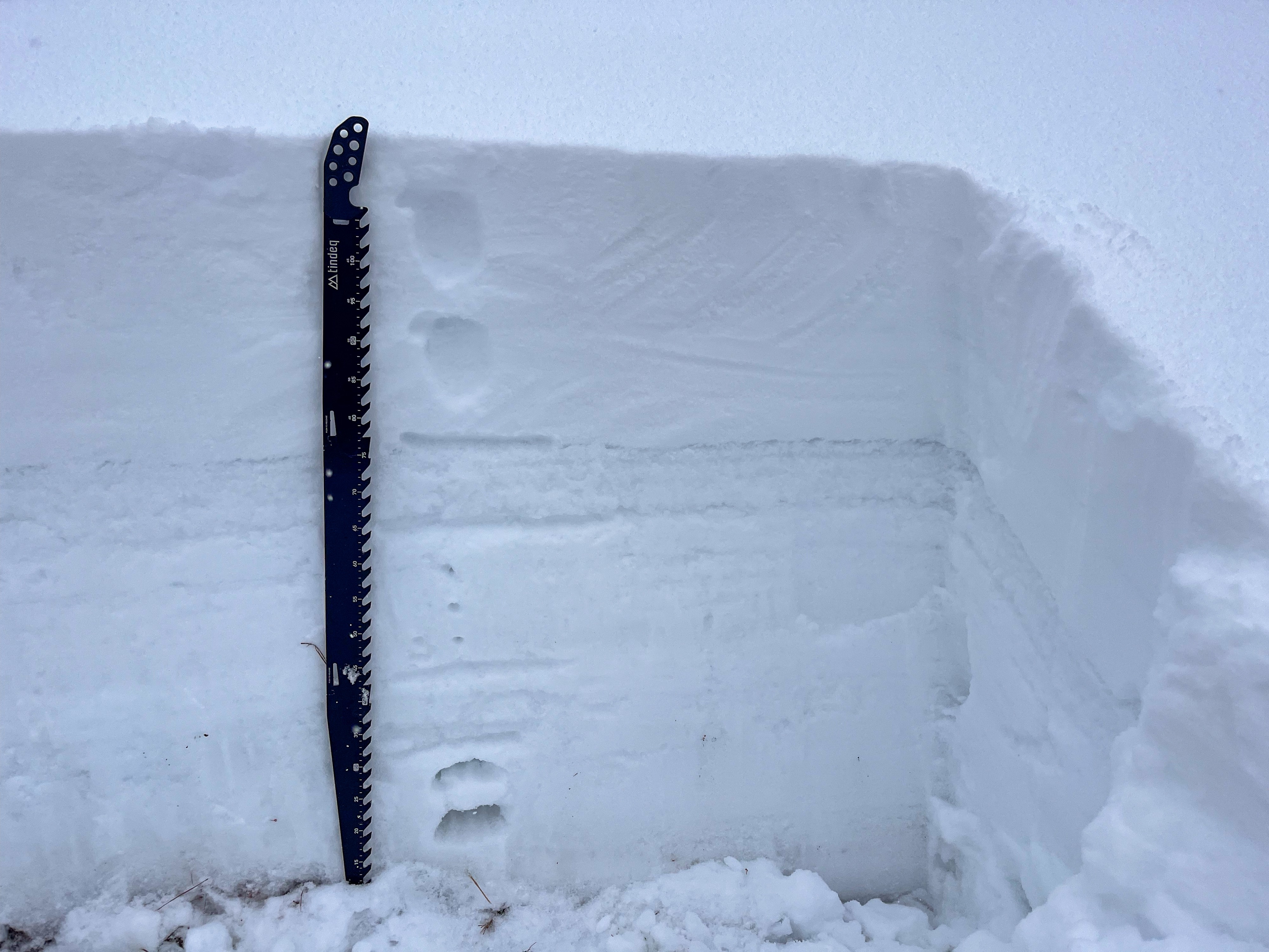
WNW @ 9,050':
(2/1) presented as a 1.5 cm rain crust down 46 cm with very small facets above the crust and slightly bigger facets below the crust. ECTX
(1/6) presented as a stack of small rounding facets (4F+). ECTX
(see photo)
ESE @ 9,200':
Previous wind scouring. Recent snow sat atop the (2/1) very stout 4-5 cm MFcr.