
Quick report
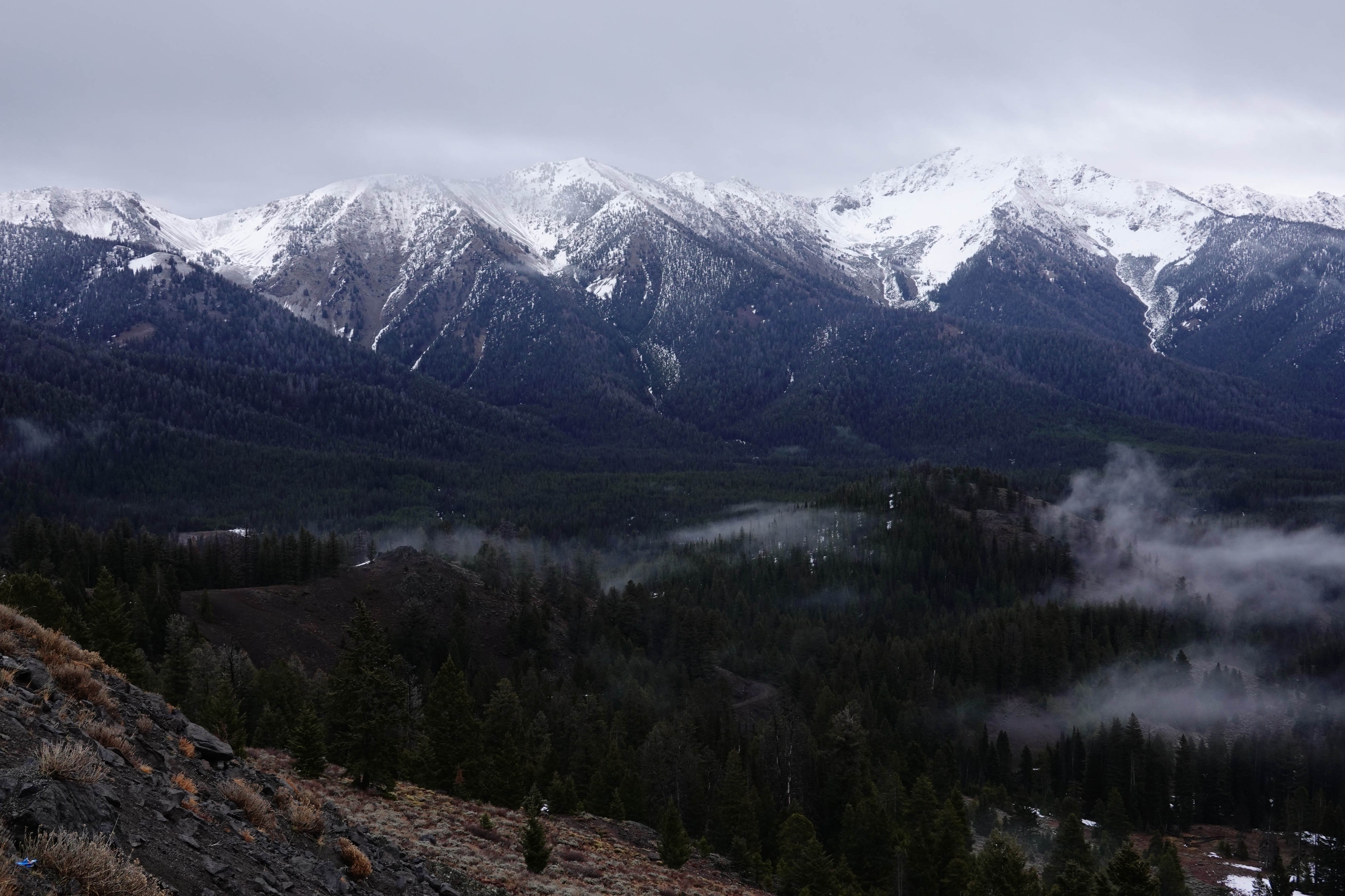
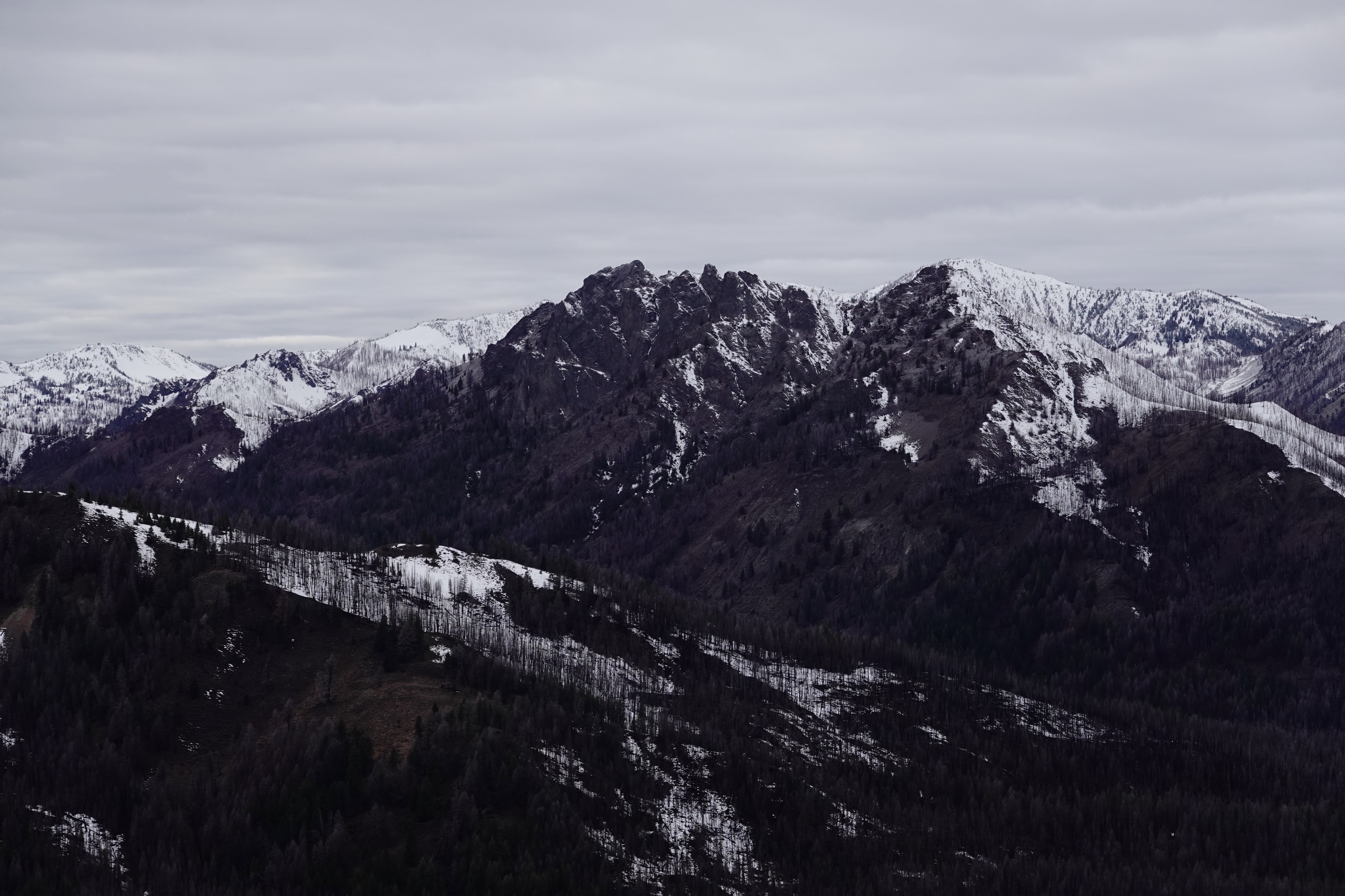
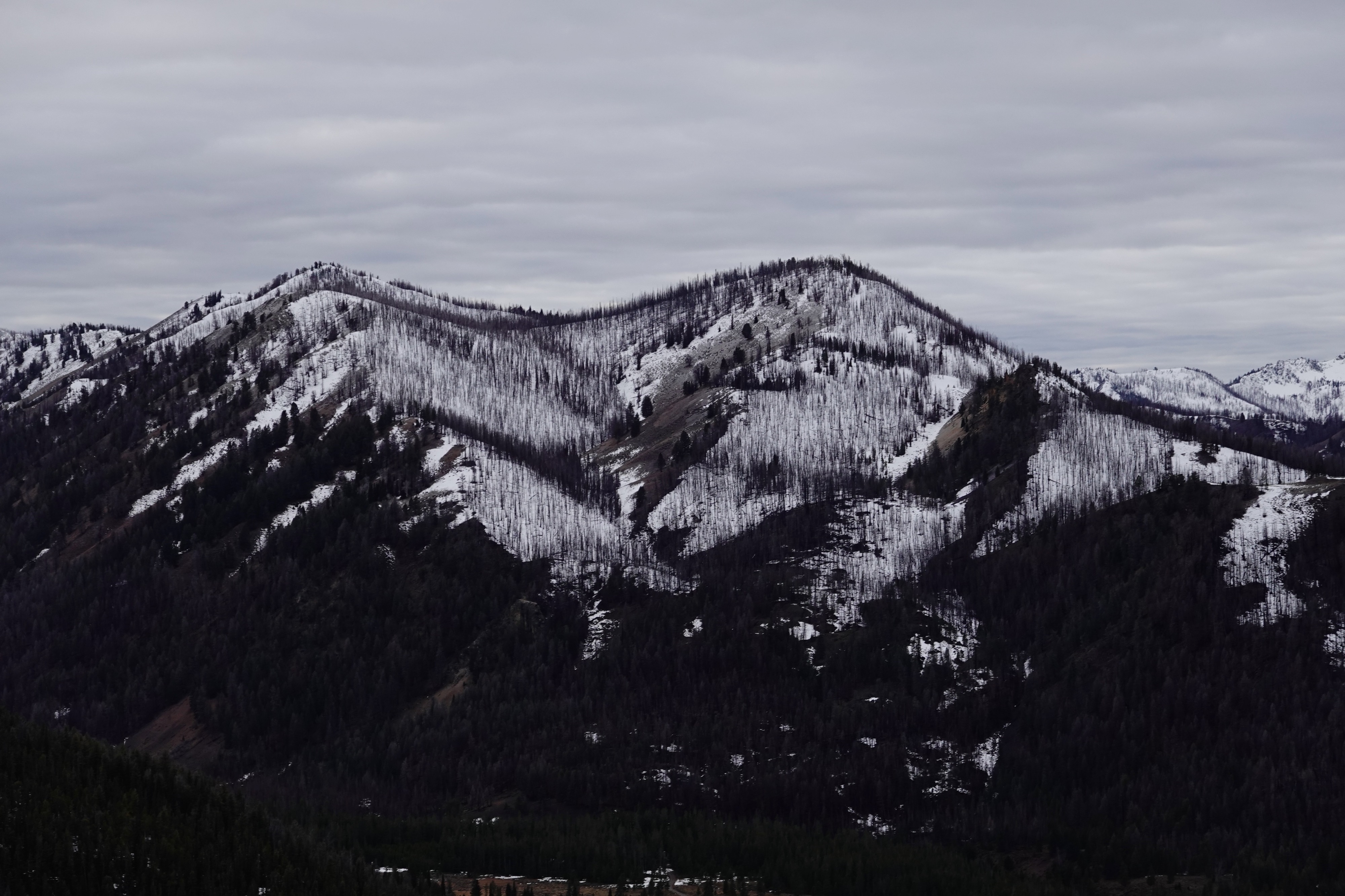
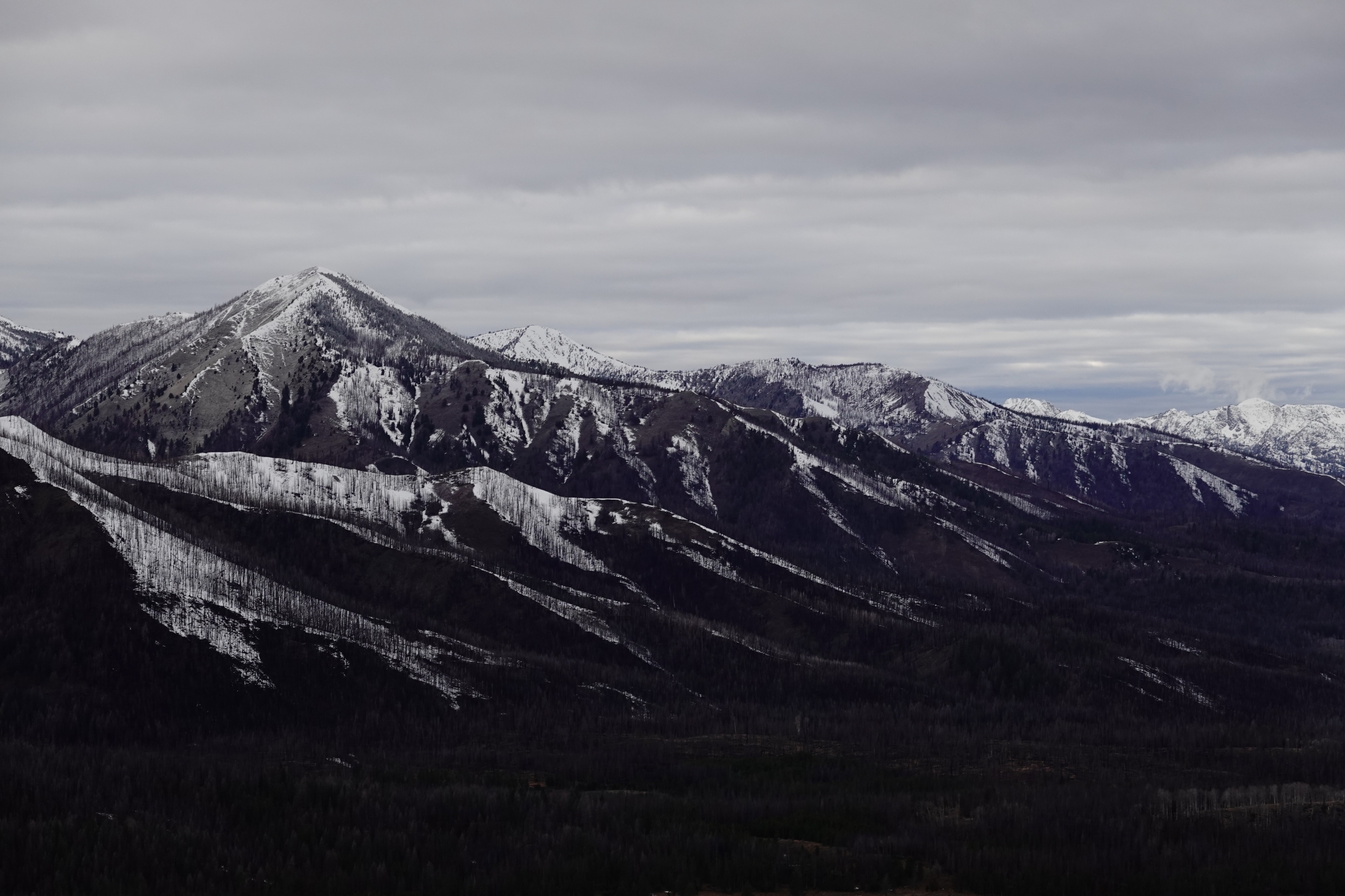
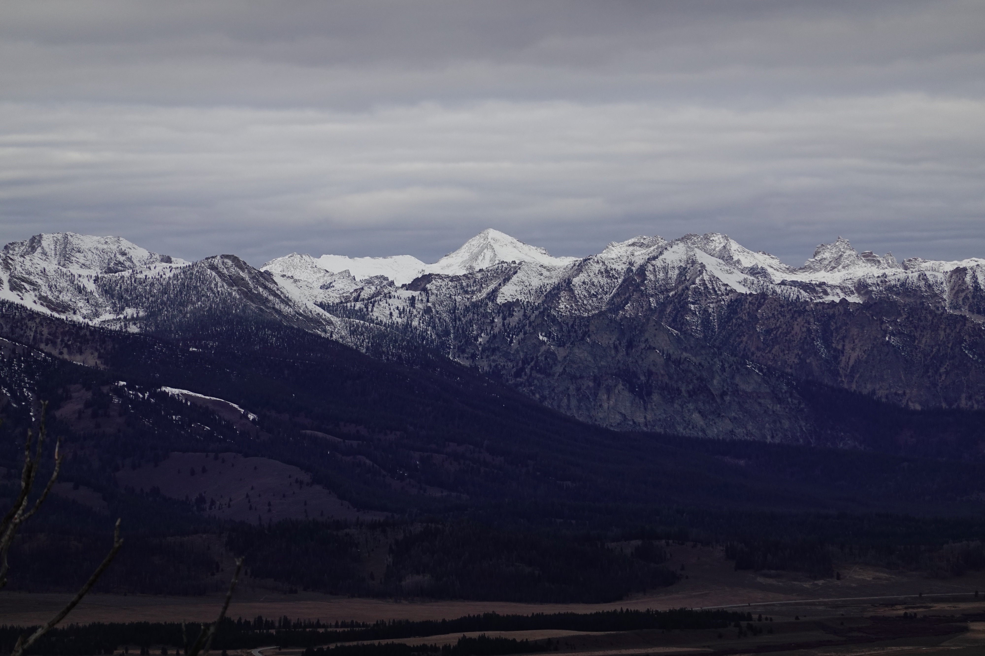
We drove from Ketchum to Banner Summit to get a quick peek at conditions after a small storm passed through the area over the weekend.
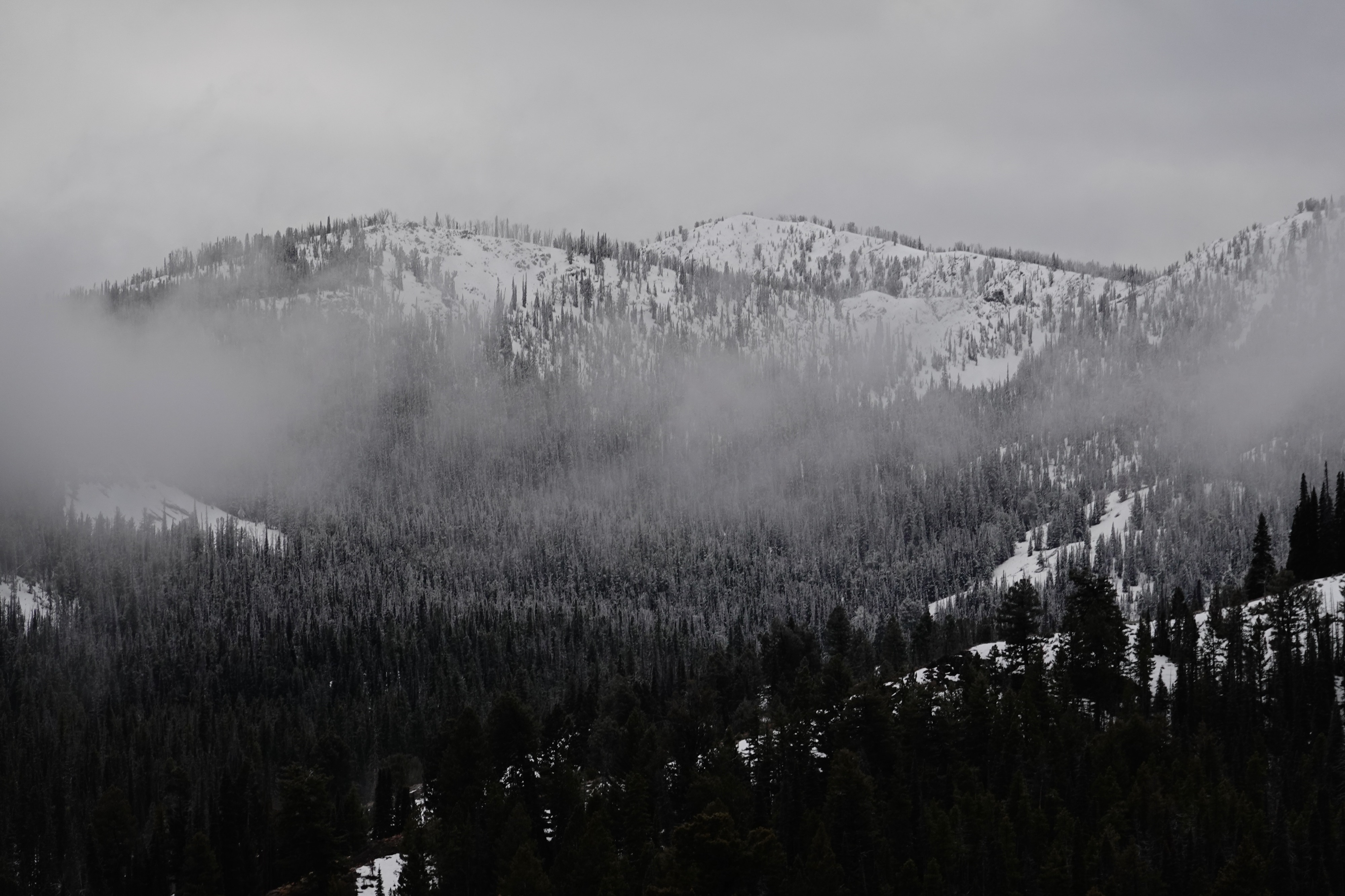
- There seemed to be more upper elevation snow in the Wood River Valley and in the Western Smokys with the rain/snow line observed at ~8,350 ft
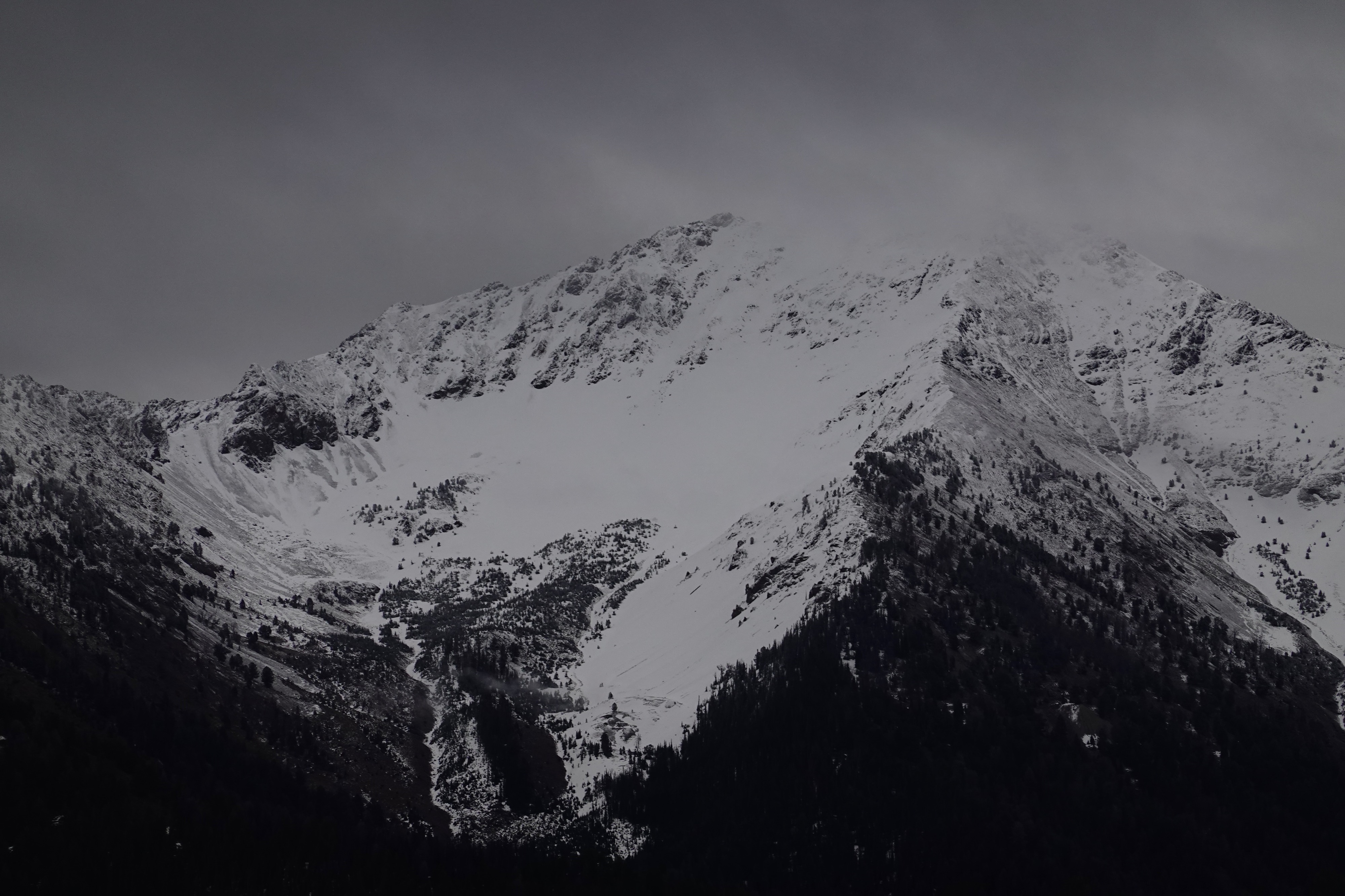
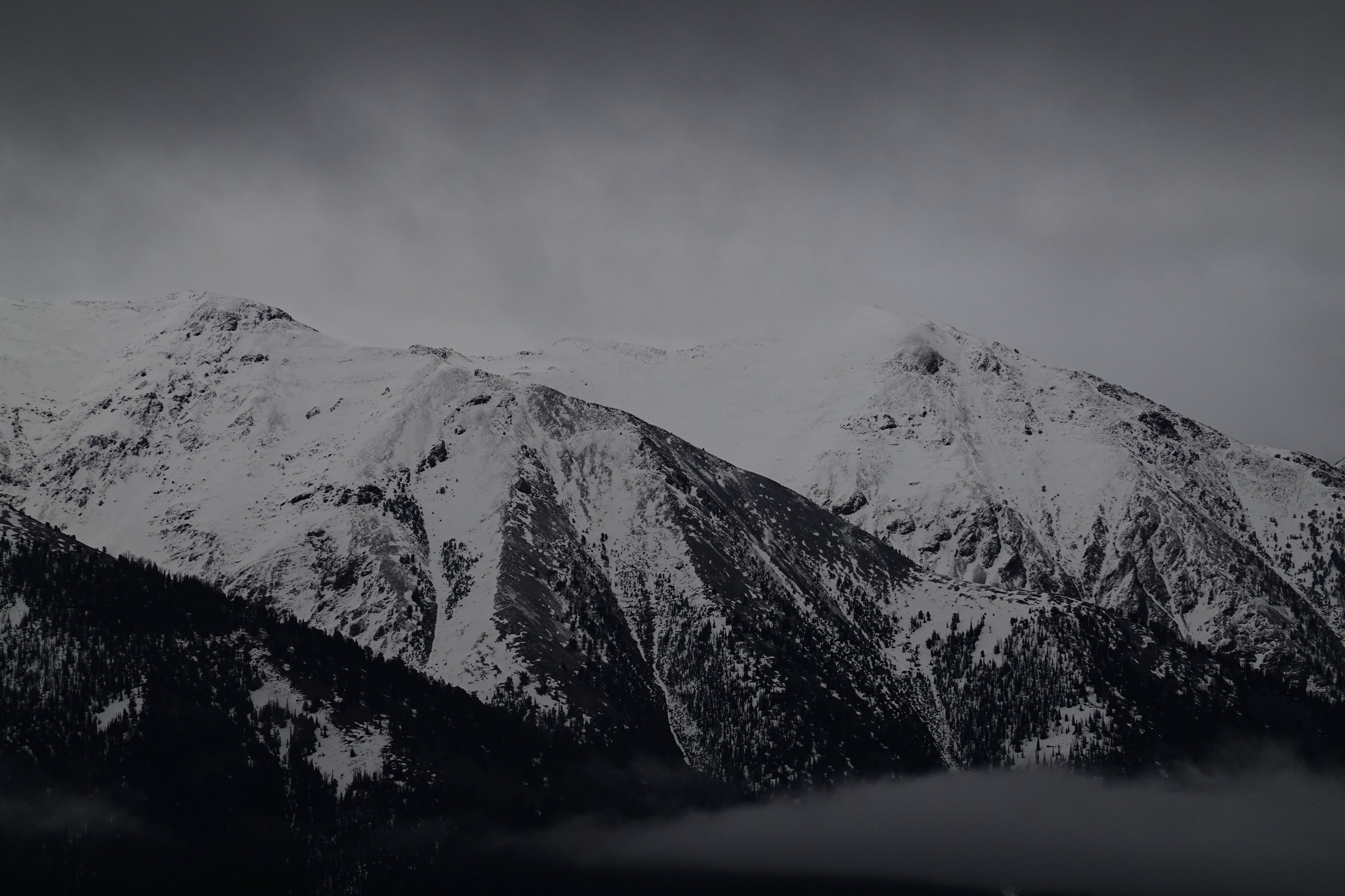
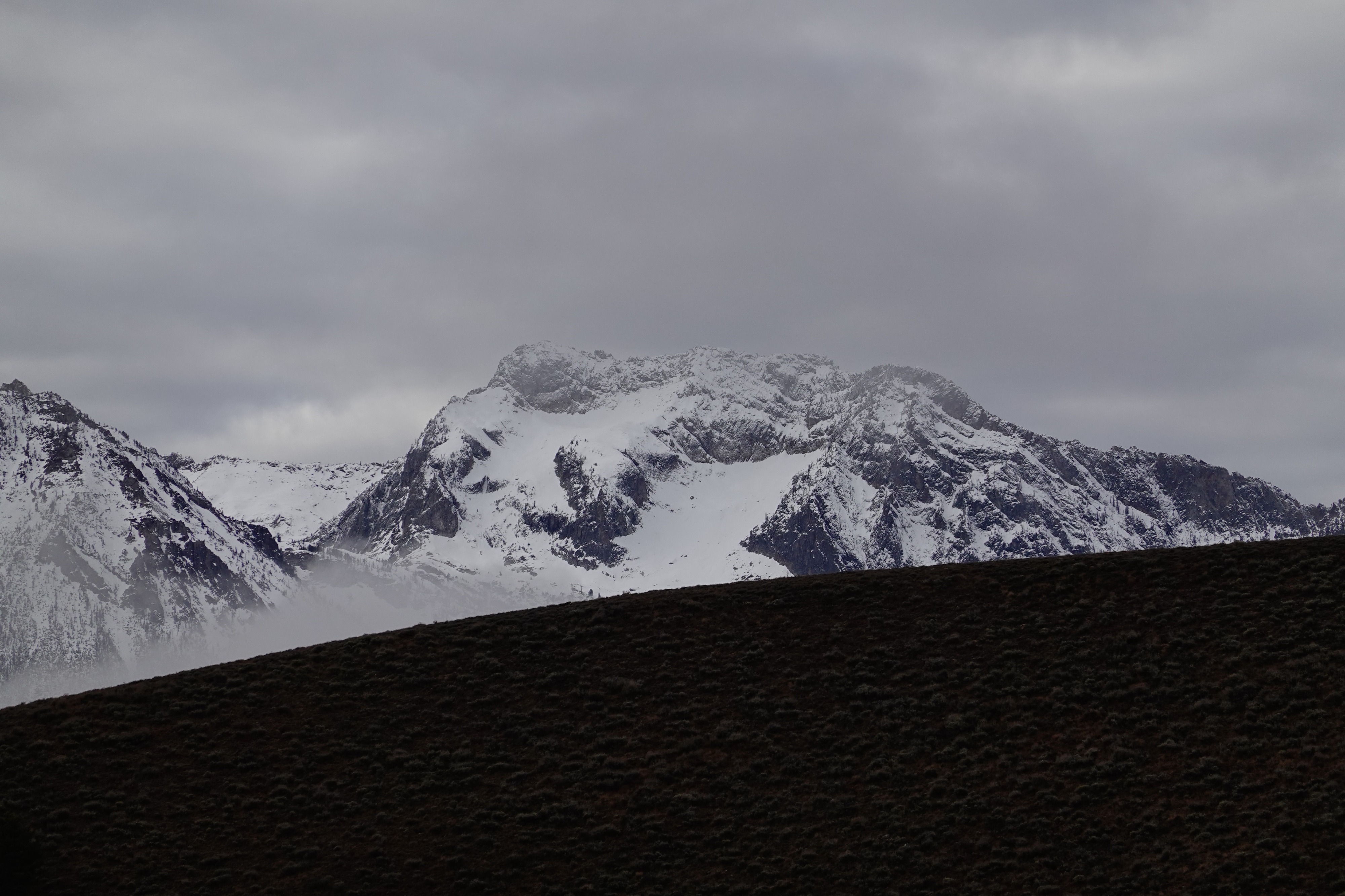
- New snow in the Boulder Mountains and around Galena Summit fell primarily on old snow surfaces on northerly aspects and dry ground on southern aspects
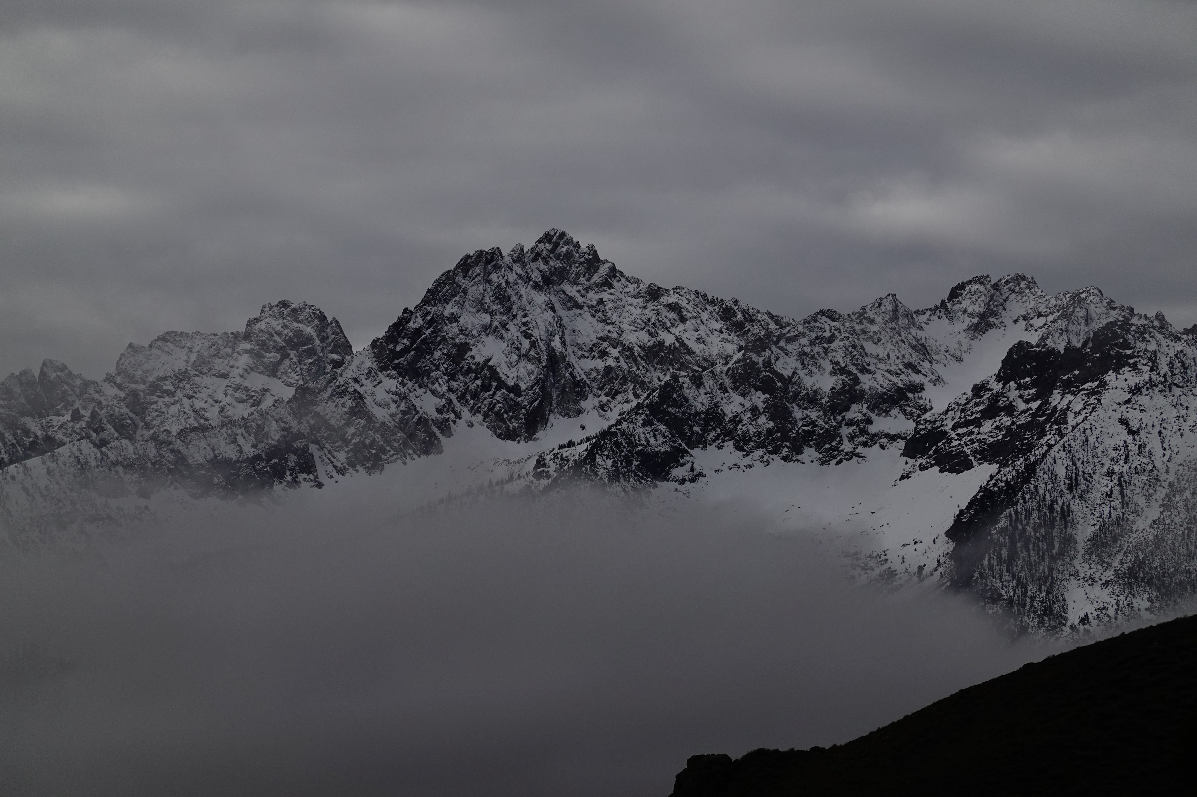
- Visibility north of Stanley was limited by low clouds, but small breaks provided views of Copper Mountain with minimal new snow observed
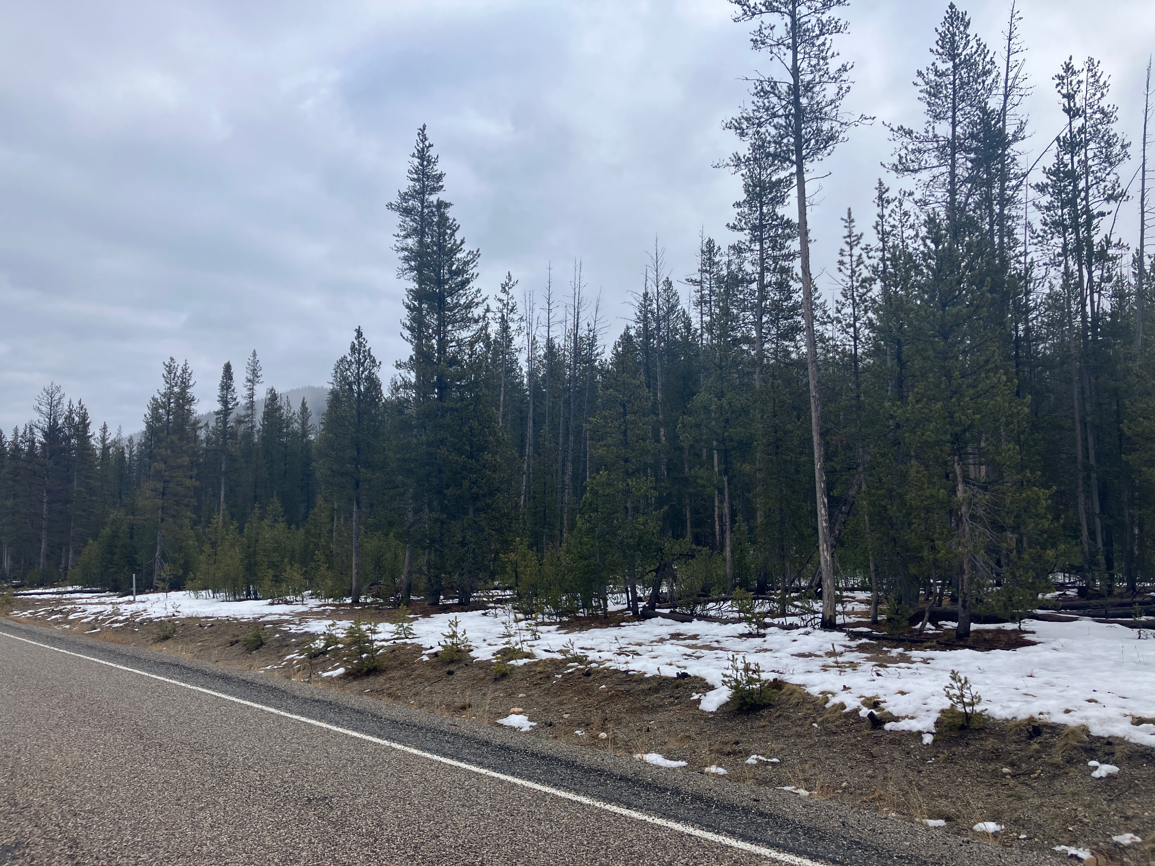
- The Cape Horn and Bull Lake trailheads are still quite dry with patches of old wet snow up to 5 inches deep
Weather
- Air Temp
- 35-40
- Cloud Cover
- overcast
- Rain Elevation
- 8350'
- Recent Snowfall
- trace to 5
- Snow Avail For Transport
- none
Snowpack
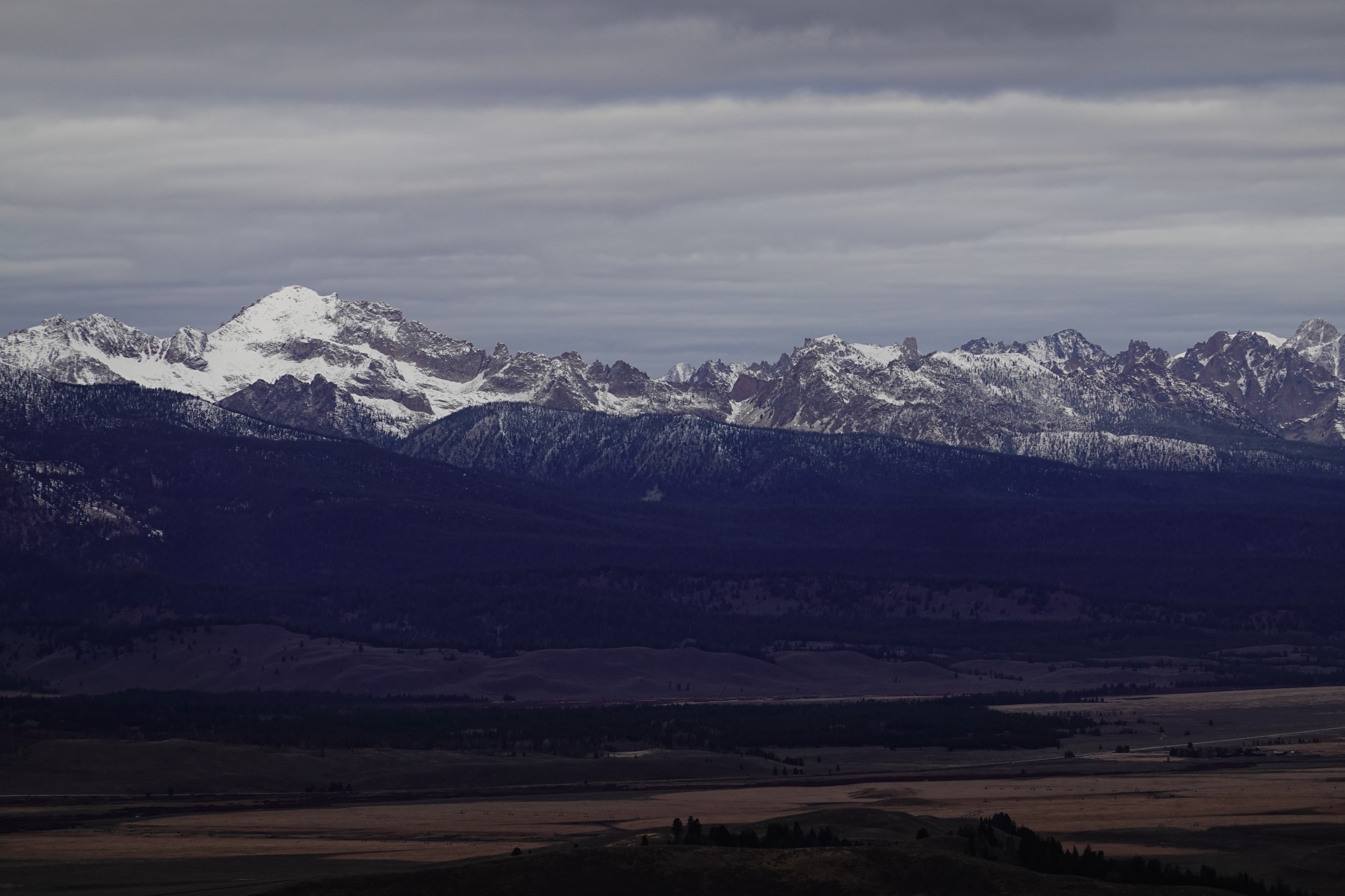
We found a dusting of new snow atop the old, weather-beaten snow surface around Galena Summit above 8,350 ft. The Salmon Valley Sawtooth Mountains appeared to have received less recent snowfall (not much snow on trees) when compared to the Western Smokys. The snowpack at the Bull Trout Lake trailhead at Banner Summit was very shallow (2-5 inches) and was primarily composed of large moist grains of cohesive snow.
Avalanche
No avalanches observed