
Quick report
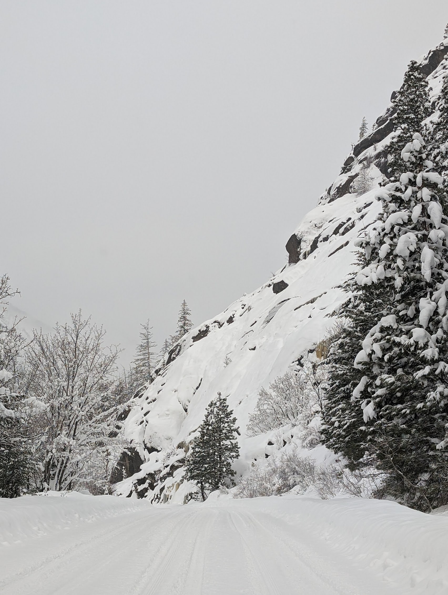
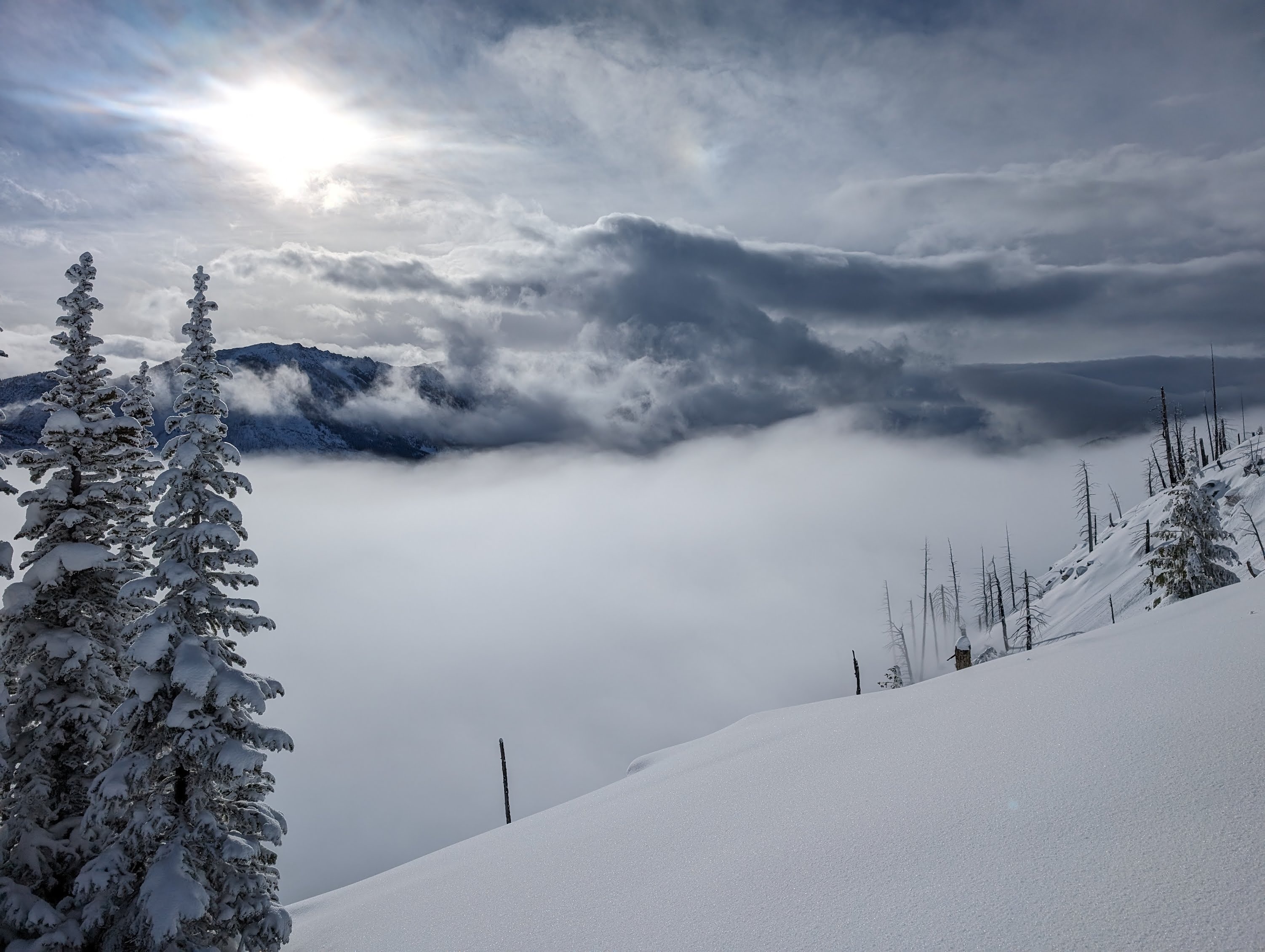
Quick tour to ~6000' on E/SE/S. 4-5cm of new overnight, HST in the last seven days approaching 40-50cm, full temperature inversion from valley to ridgeline. Obscured sky below 5000' with temps in upper 20s F, clear above with warm, still, and humid conditions. It was a sunny late morning/mid-day and trees were dripping at 5500' with direct sun causing widespread roller balls on solar aspects down to 4800' where snow was rimed, fast, faceted powder under recent storm snow. Probably upper 30s F, but thermometer read 45 F at transition. Cloud deck around Cannon, Colchuck, Stuart hovered around 7800' and inversion deck was 4800-5500' at transition. Snow likely started an hour after exiting the field judging from lower Icicle conditions(1300?) Roller balls occurred as rapid warming occured mid-AM.
Weather
- Air Temp
- 38
- Cloud Cover
- few
- Wind Loading
- none
- Rain Elevation
- 5000
- Recent Snowfall
- 5
- Snow Avail For Transport
- small smounts
Sunny, still, and balmy NTL, colder below and above.
Snowpack
HS ranged from 135-165cm