
Quick report
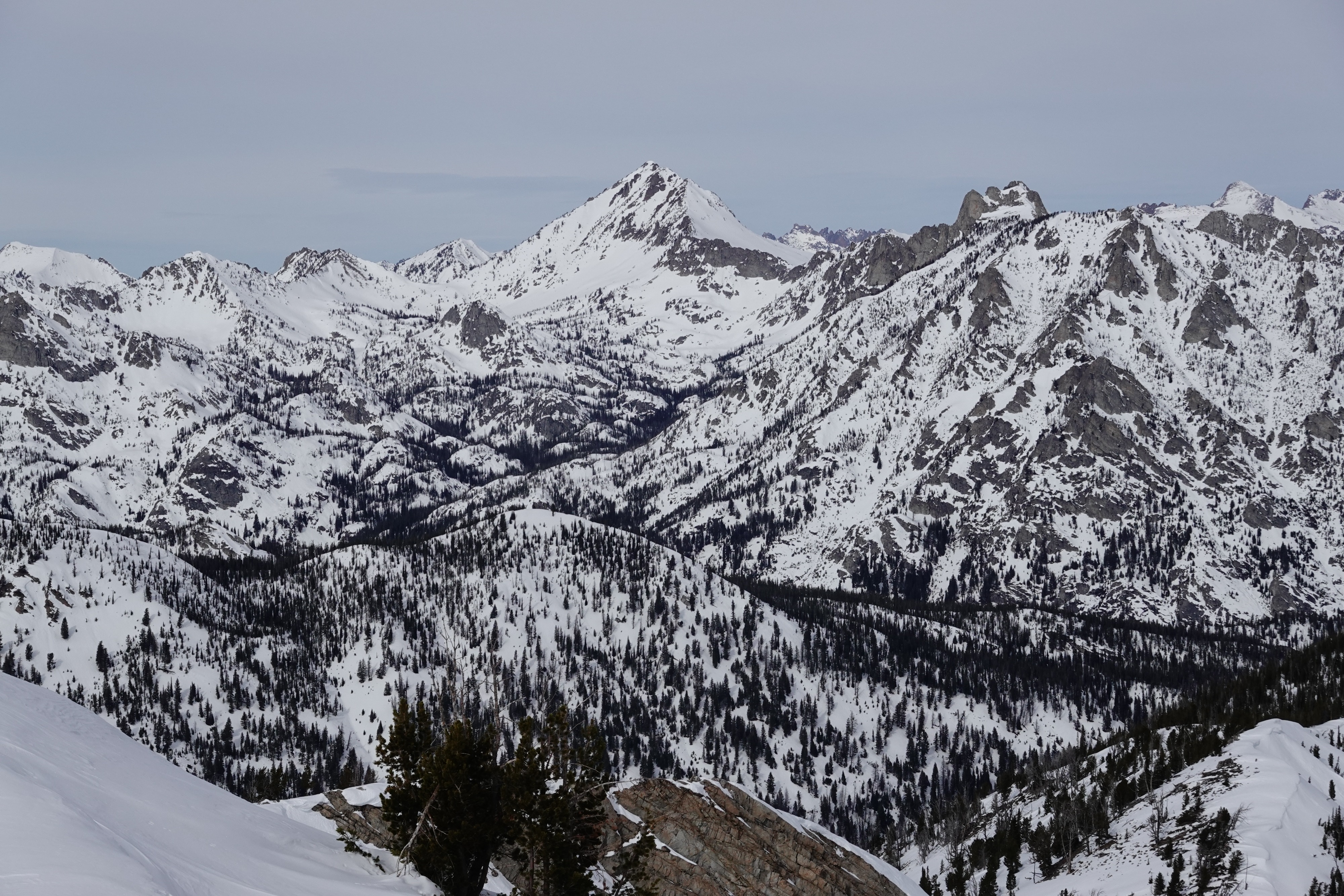
Generally stable conditions were observed in the Alturas area today. Widespread faceting of the upper snowpack is evident everywhere we traveled. At lower and middle elevations, variable crusts exist on most slopes receiving direct sun exposure. At upper elevations, a variety of small wind skins and wind slabs exist on the surface.
No obvious signs of instability were observed.Weather
- Cloud Cover
- broken
- Wind Loading
- previous
- Recent Snowfall
- 0
- Snow Avail For Transport
- small smounts
Clear in the morning with high thin clouds rolling in around noon. Temperatures remained cooler up above 9k'. Light SW winds blew at ridgetop.
Snowpack
We found widespread near surface faceting of the upper 8-20 in (20-50cm) of the snowpack observed on all sheltered slopes. On sunnier slopes, old crusts were breaking down. In the afternoon, the snow surface was moistening wherever the sun lingered below 7500'.
The status of faceting from our tour today was:
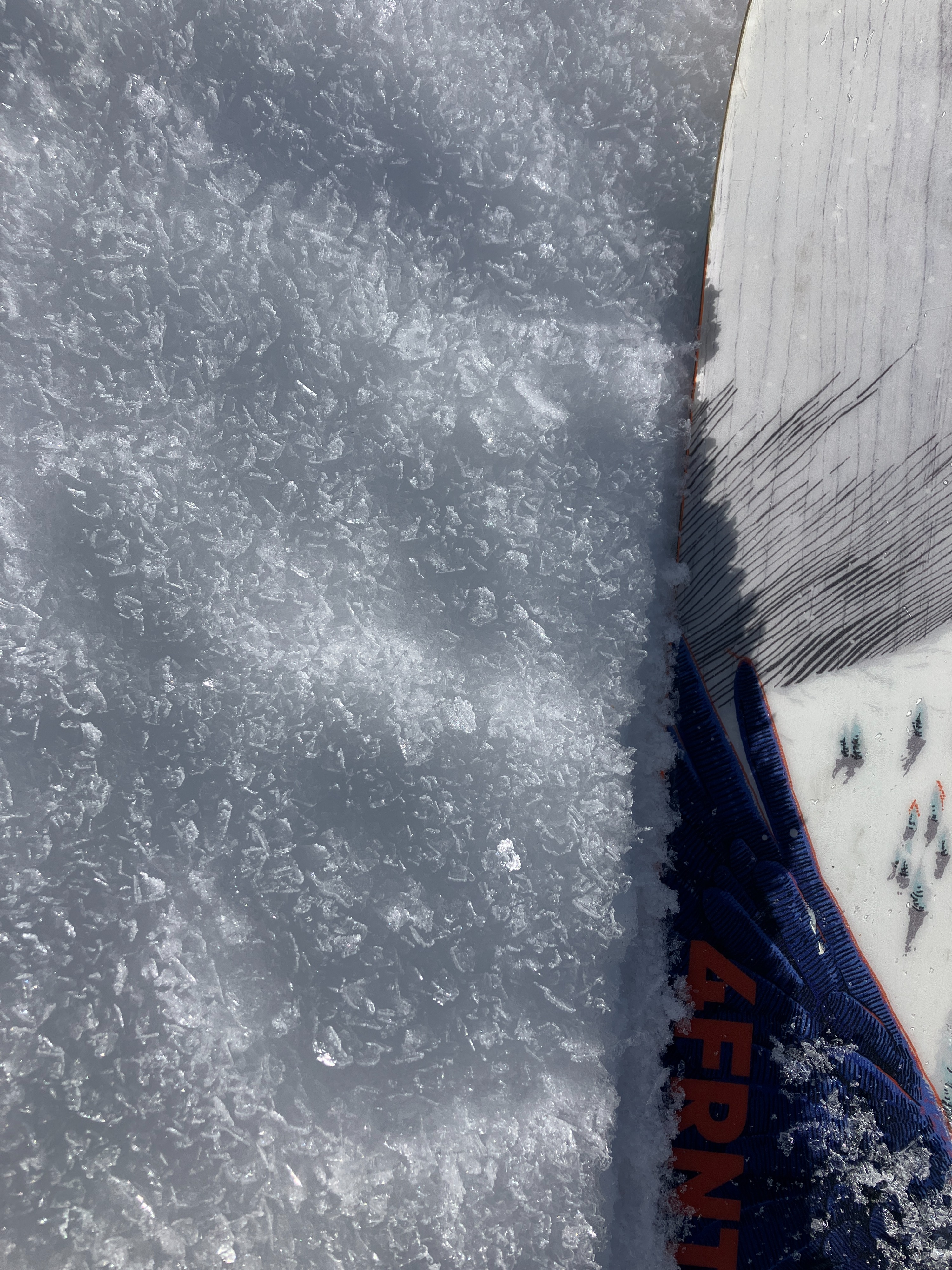
- 5-10mm surface hoar was widespread below 9000', except in areas with strong direct sunlight. Some of this surface hoar has grown on top of thin weak surface crusts (pictured).
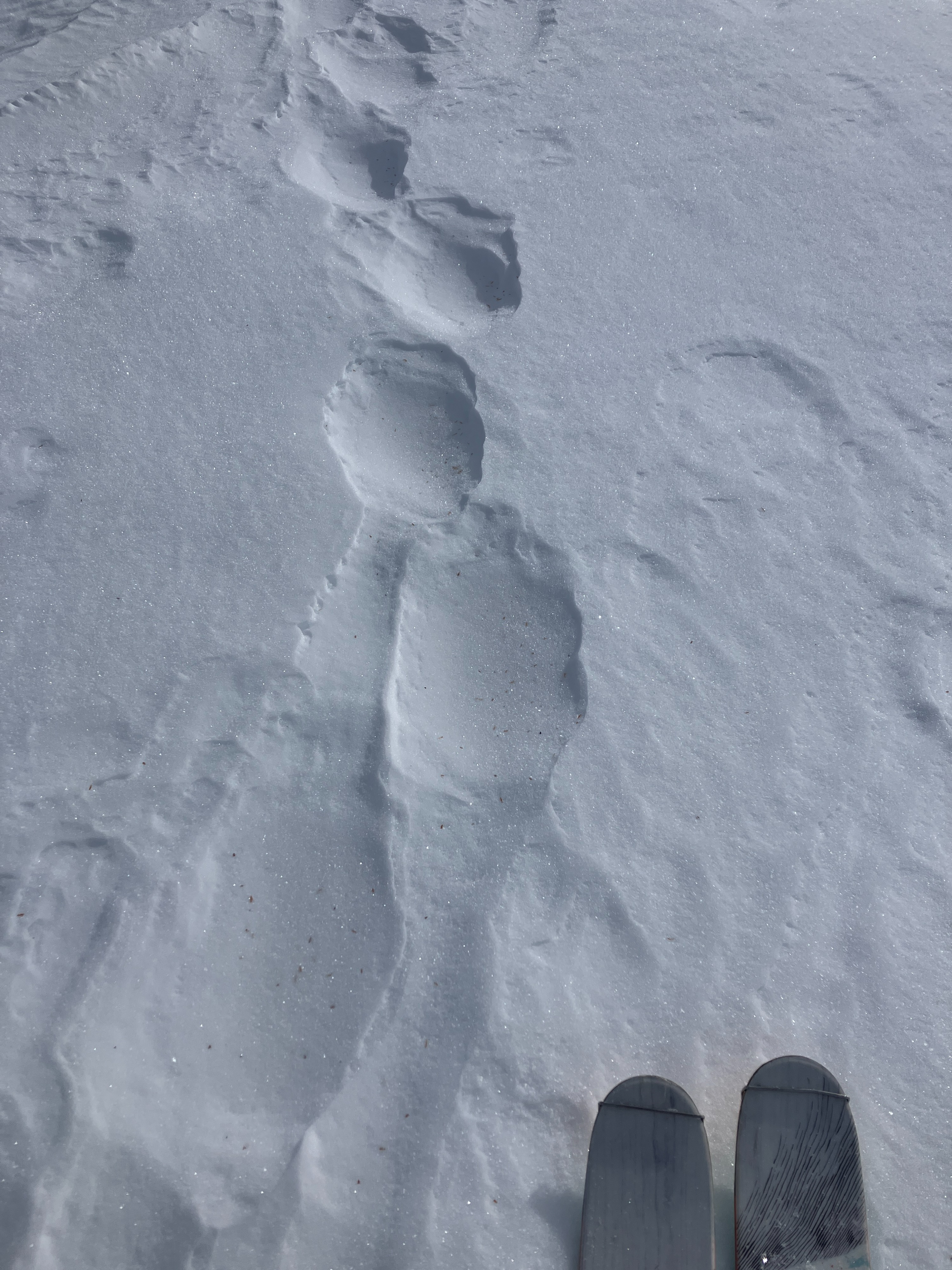
- Thin, isolated windslabs and wind skins exist in the alpine and are faceting away gradually.
- Shallow snowpack locations with less than 3 ft(<1m) around rock outcrops and cliffs in the alpine harbor the weakest snow structure, with top-to-bottom sugary facets.