
Quick report
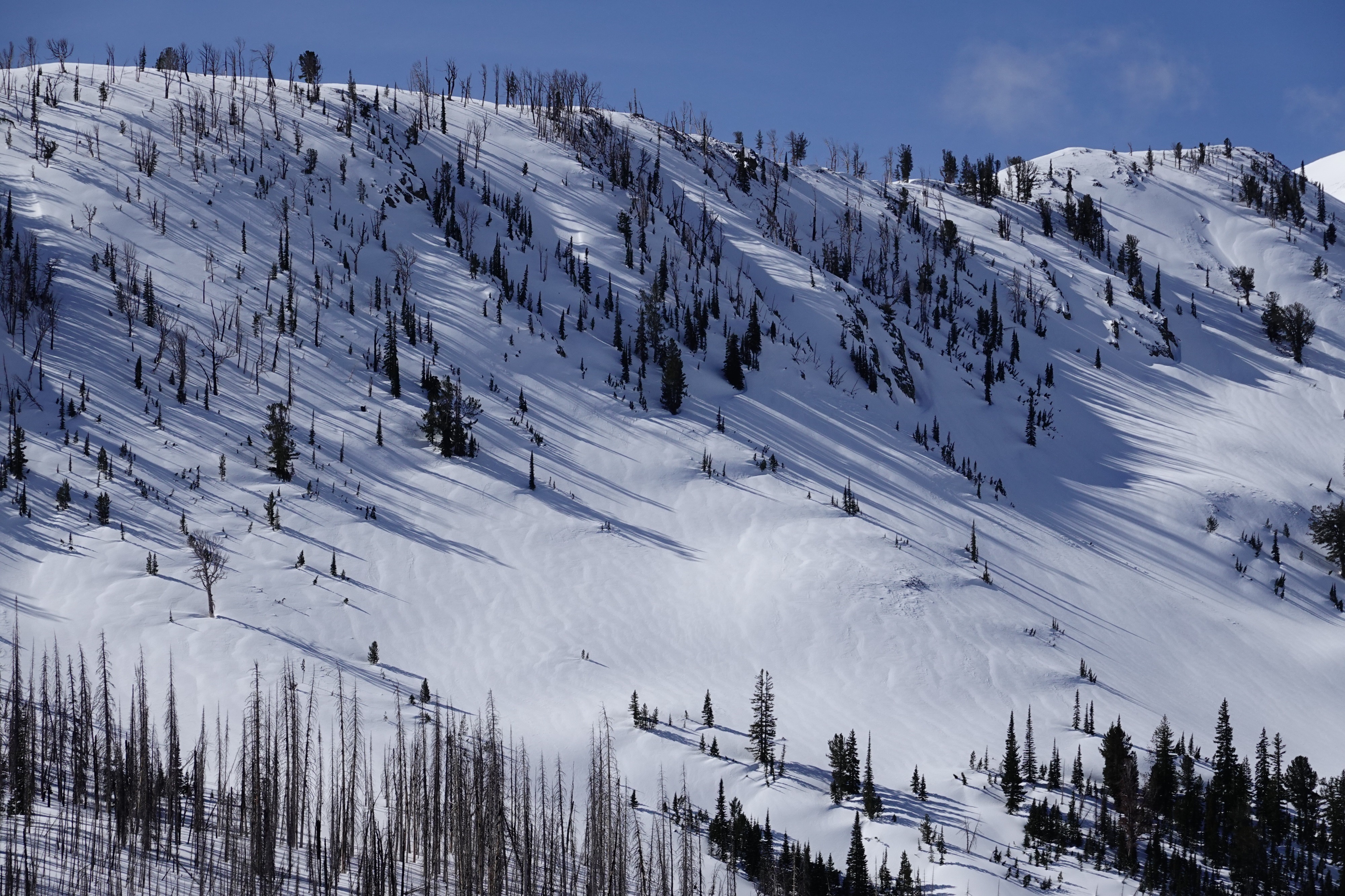
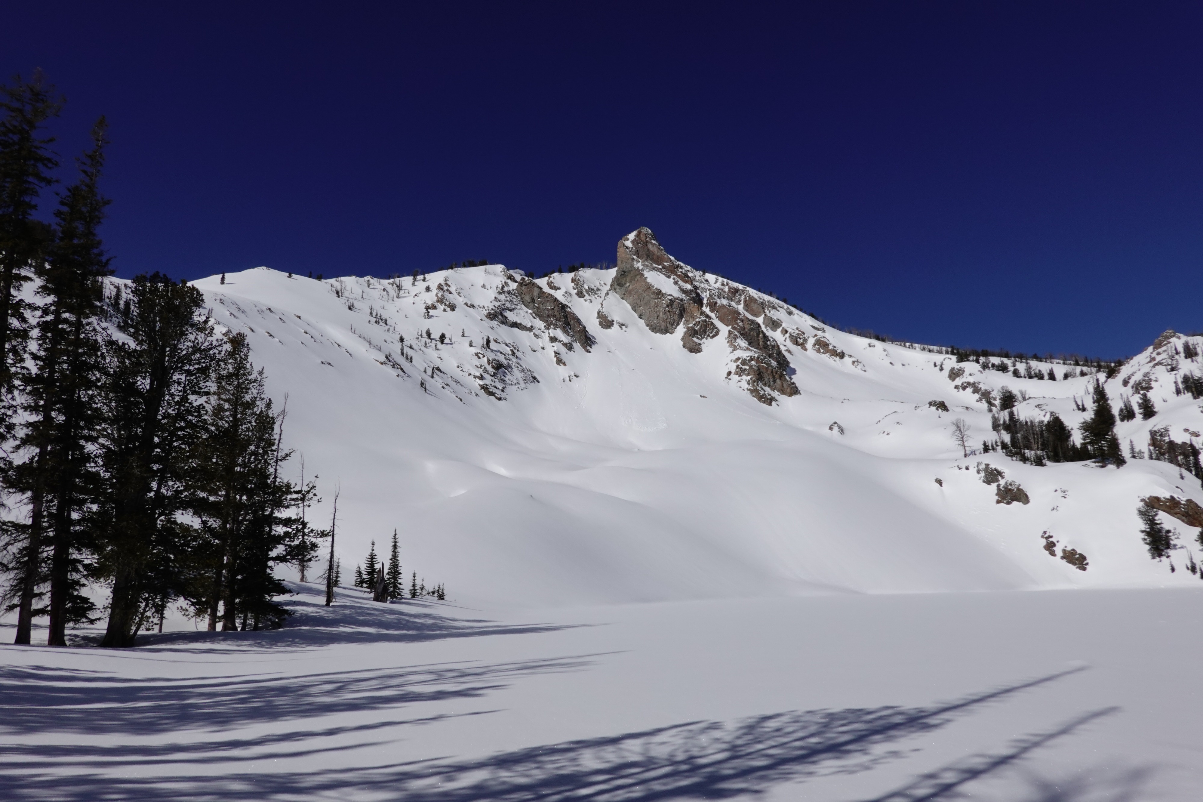
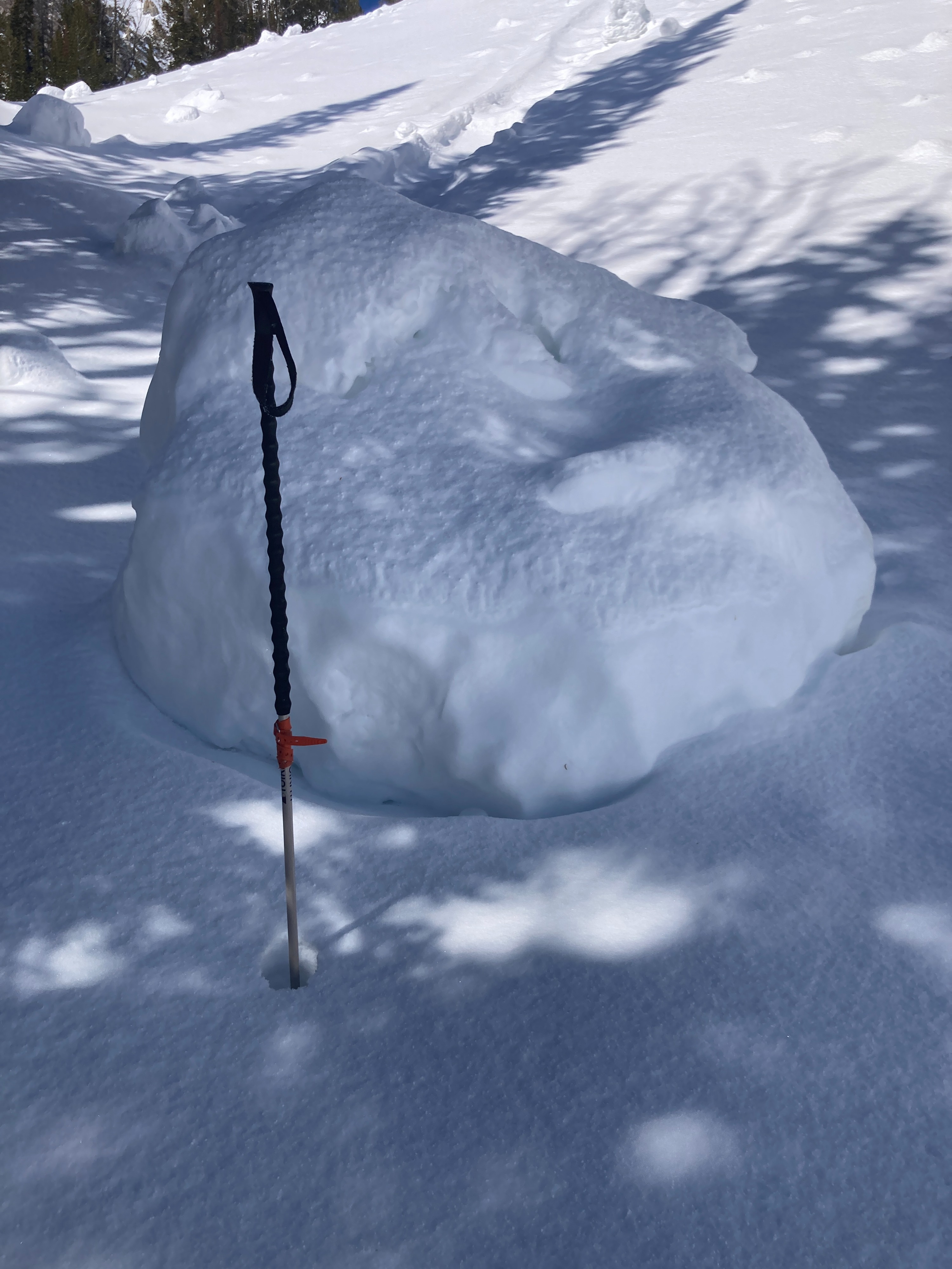
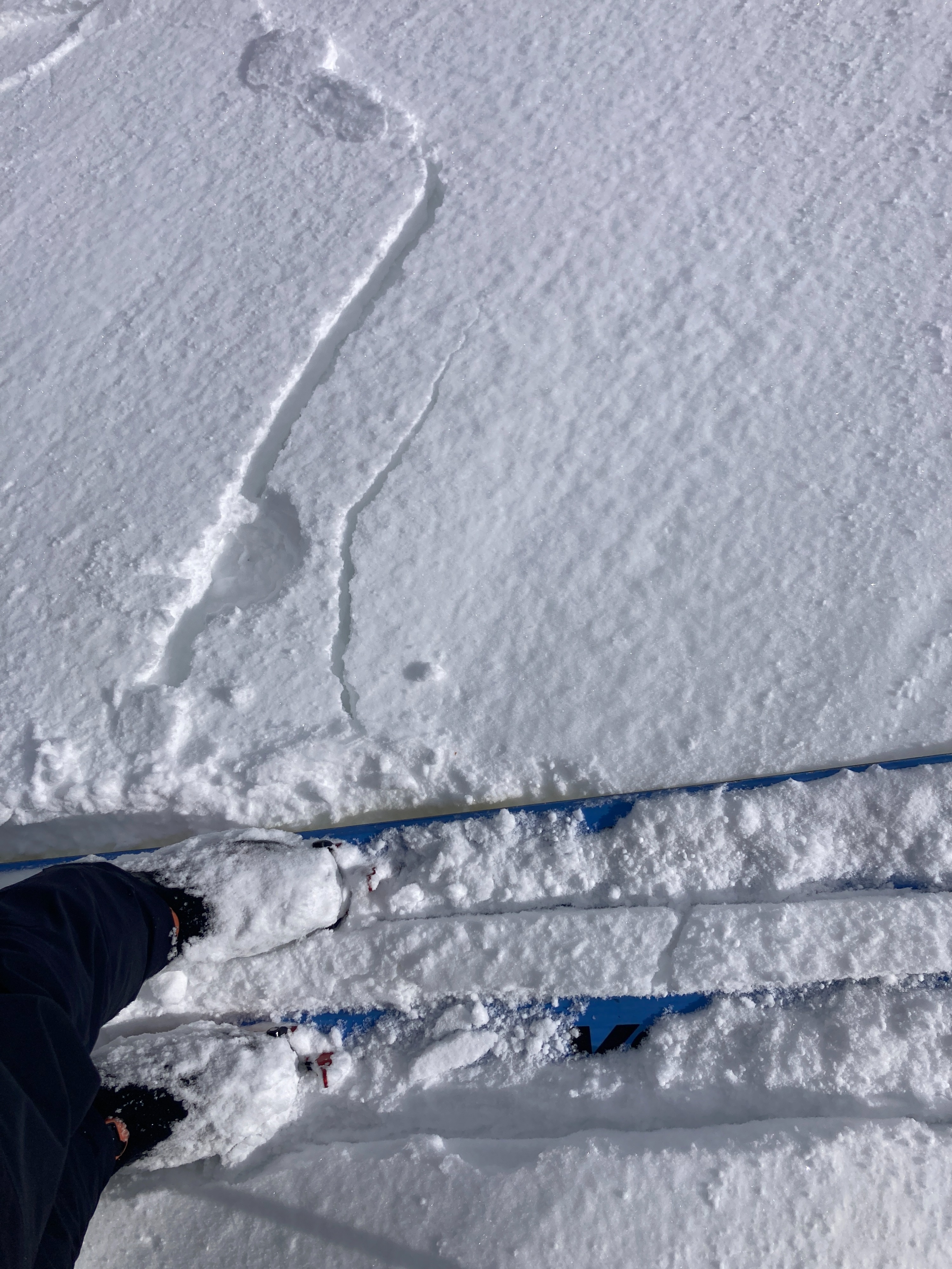
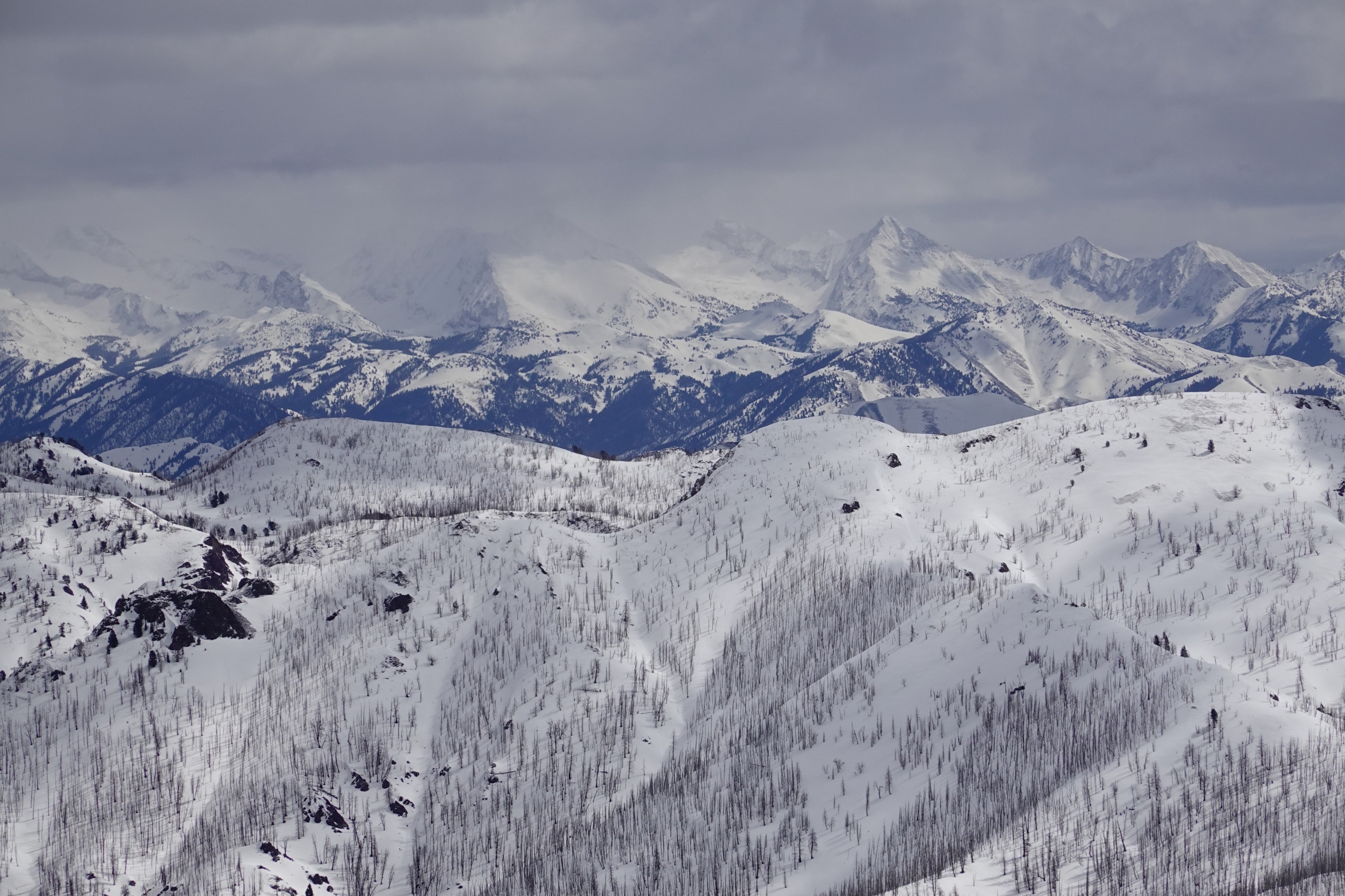
We found generally stable conditions while out in the Baker Lake and Backdrop Peak area today. We did not observe any recent avalanches. 2-4 inches of recent snowfall landed on stout crusts and firm wind-buffed surfaces, making for easily overheating sleds and slippery skinning. While travelling today, we kept our eyes peeled for evidence of wind slabs and avoided terrain that appeared to have additional wind deposition.
No obvious signs of instability observed today.Weather
- Air Temp
- 15-35
- Cloud Cover
- broken
- Wind Loading
- none
- Snow Avail For Transport
- none
Calm winds and beautiful sunshine in the morning shifted to light W winds and mostly cloudy skies around noon. Light snowfall fell in the afternoon with little accumulation and periods of greenhousing occurred.
Snowpack
2-4 inches of fresh storm snow has fallen atop old crusty and firm surfaces. The buried 3/28 surface crust disappears above 9900 feet on northerly aspects near Baker Lake. Water from the recent warm-up seems to have infiltrated most of the upper snowpack up to 9000 feet. That same water infiltration is much less deep on similar elevation slopes facing nearer to true north.