
Quick report
A white Christmas! At mid and upper elevations.
We mostly traveled on solar aspects. At mid elevations, the snow started cold and by early afternoon was warm due to ambient air temperatures and greenhousing. Solar aspects also took on heat at high elevations during brief periods of sun. Below 9,100 feet, old snow beneath the surface is moist and saturated for at least the top foot. Cold snow may still exist on northerly slopes above 9,500 feet.
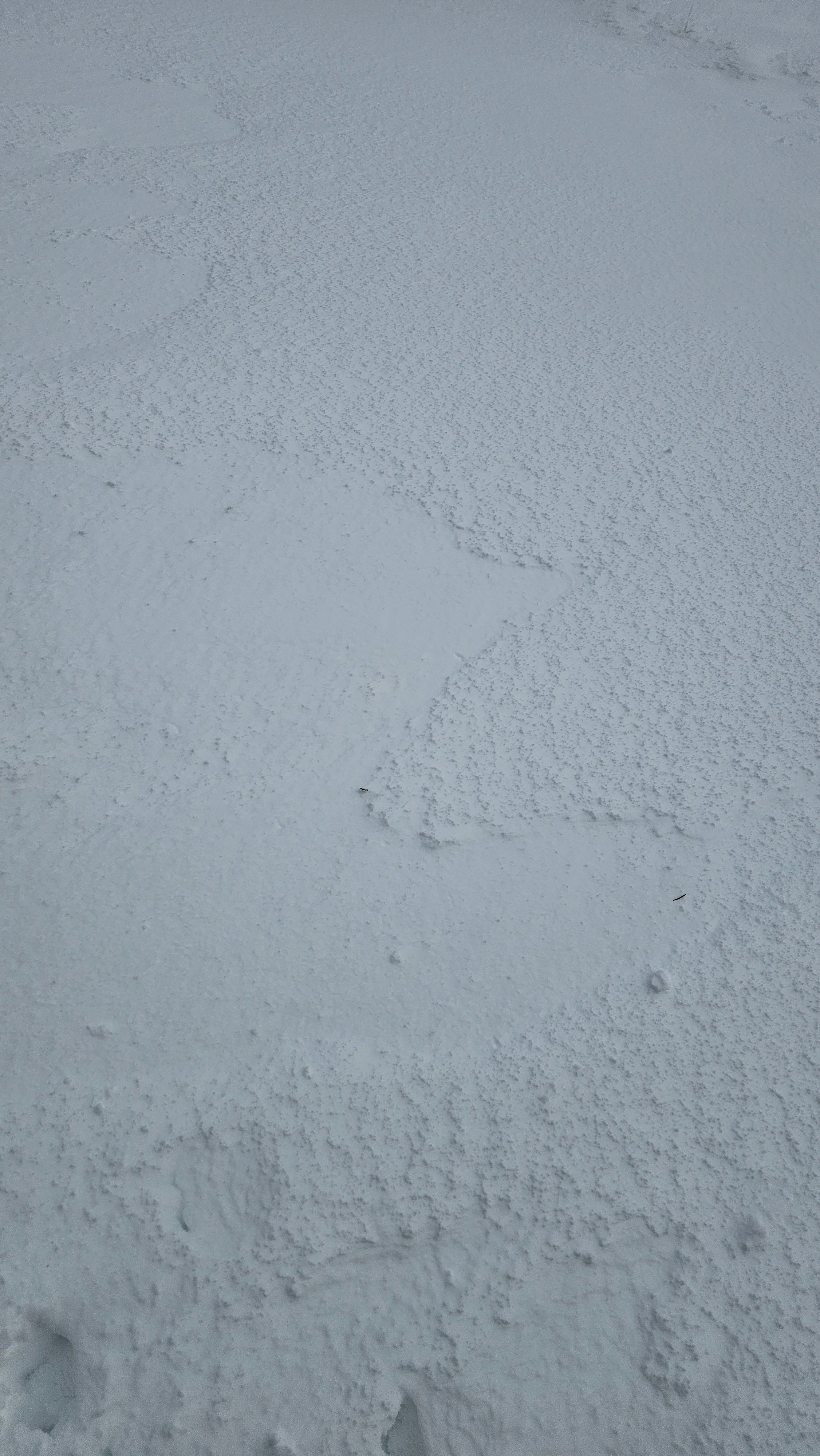
We dug a snowpit on a leeward SE slope at 9,700'. There was a small density change below the fresh drift on some intact precipitation particles, but overall the snow was bonding well. Ski cutting small, wind loaded test slopes yielded no results overall. In the Teton Pass area, it seems that the new snow was bonding well.
At lower mid and low elevations, runnels have formed within the snowpack. There appeared to be roller balls from yesterday, but I did not see many that looked fresh.
We observed no signs of instability in our travels.Weather
- Air Temp
- 32
- Cloud Cover
- overcast
- Wind Loading
- light
- Rain Elevation
- 8000
- Recent Snowfall
- 10
- Snow Avail For Transport
- moderate amounts
Rain line was likely higher overnight, but had come down by mid morning. There was drifting at upper mid elevations and upper elevations. There were period of light snowfall, but no accumulation.