
Quick report
- Cracking
- Observed
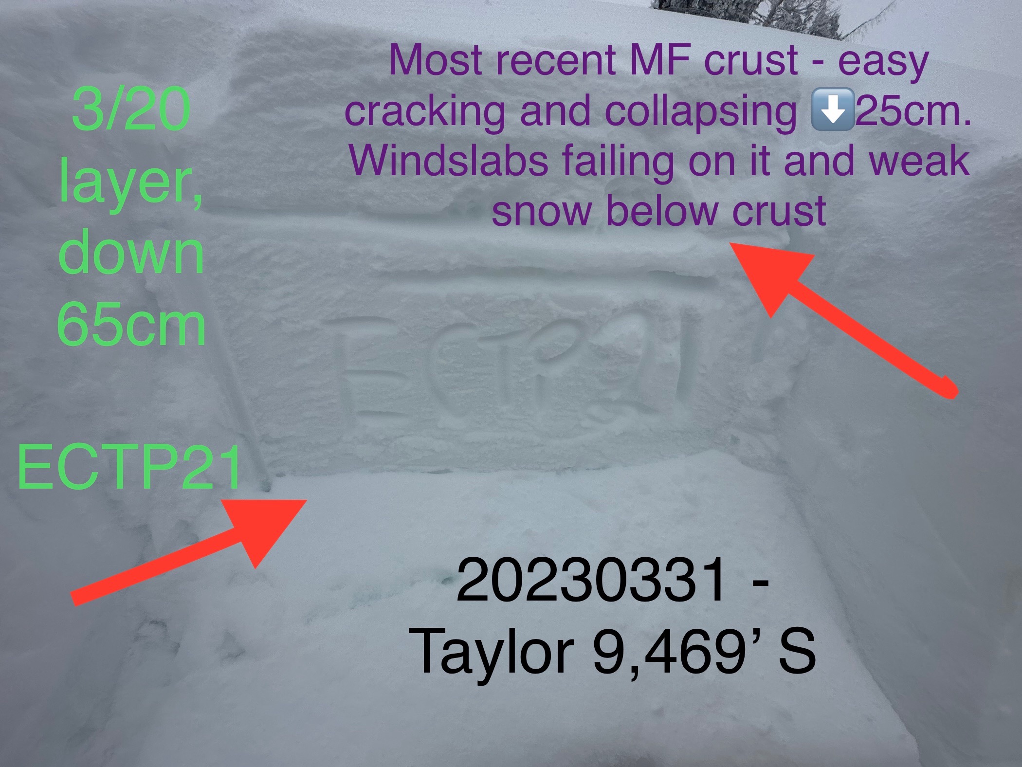
Travel today was up Glory, down Snowshoe to Coal Creek and then Taylor south trees and diving board. Noted easily triggered wind slabs in the upper elevations and wanted to gauge the 3/20 layer as this storm pushed through and we get ready for the next one. While the calender shows April 1 tomorrow, make no joke about it we have a complicated winter snowpack on our hands within the top meter of our snowpack. Height of new snow was around 25cm, comprised of graupel and rimed stellars. This newest snow lies on top of a slick melt freeze crust, which also has weak snow beneath it - a product of our last warm up. Wind slabs were failing on top of this layer, and I was able to trigger a couple test slopes that failed beneath this crust where it was thinner.
The 3/20 layer is alive and producing results in pits, and just yesterday there was a human triggered slide on Taylor that failed on this layer. As the next storm arrives this weekend, it will continue to be stressed.
Photos below:
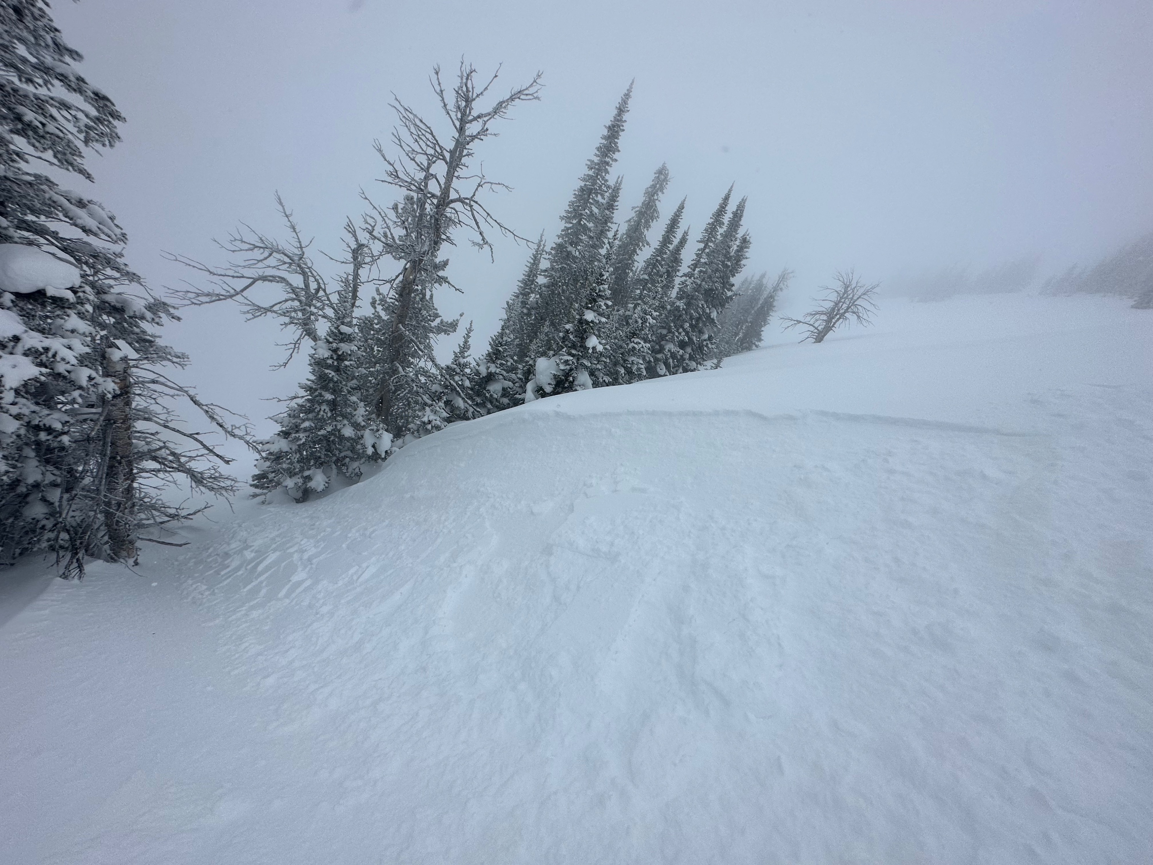
Evidence of morning wind slabs which increased in size throughout the day. D1's
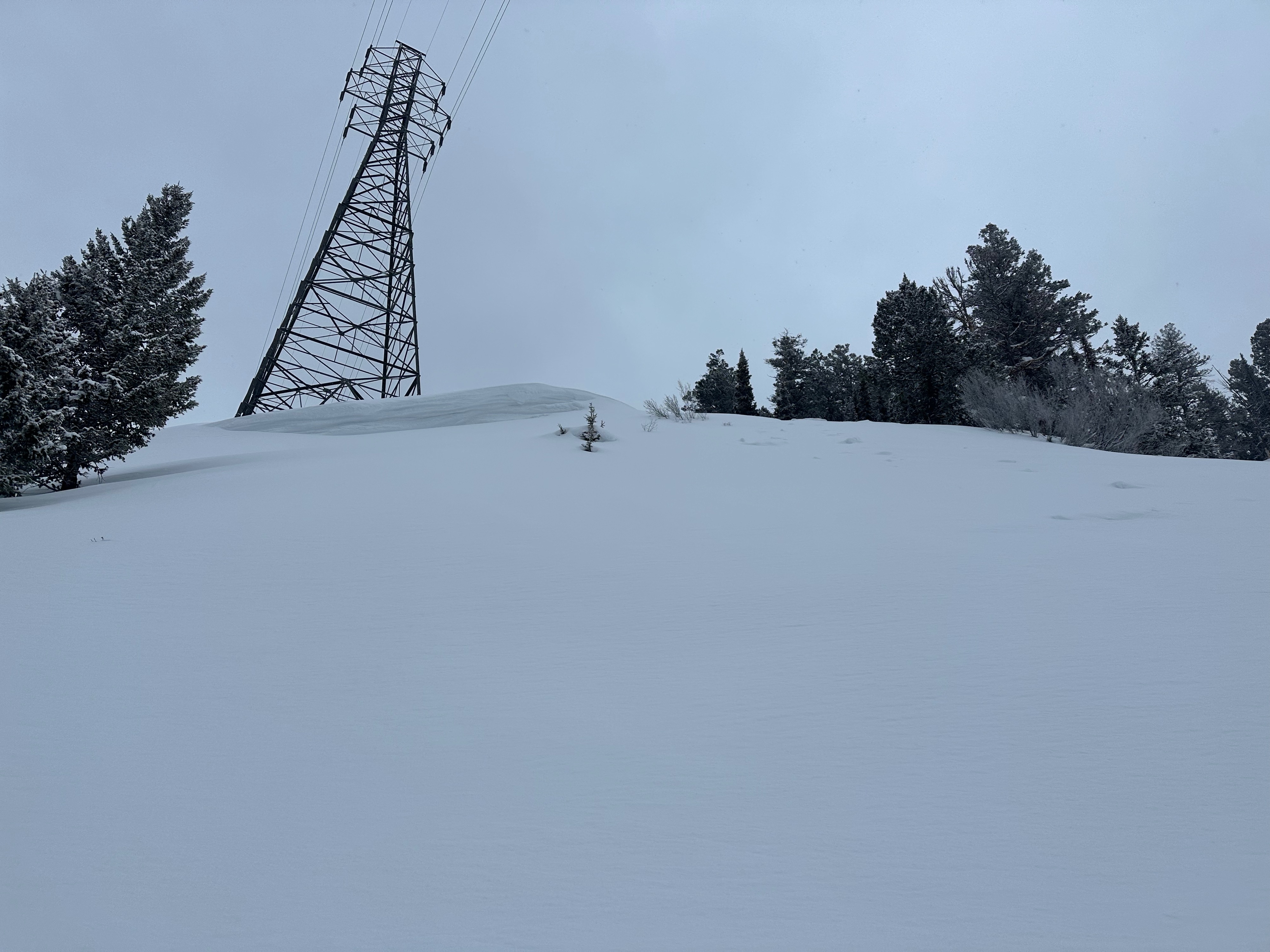
Old slide 7,948’ SE on the road back from Snowshoe to Coal Creek. Not sure when it failed, but the crown was decent in size and was a wind loaded feature.
Snowpit results. Also uploaded a video, mind the wind near the end - it was western out there.
Cracking and collapsing occuring above and below new old interface - dare I say the 3/29 layer... This latest MFcr had weak snow below and produced two CTV's at the middle and upper elevations E through SE. Wind slabs were breaking on the new/old interface which was a slick crust (hardness of this crust ranged from pencil minus to one finger minus, depending on location).Weather
- Recent Snowfall
- HN past two days around 20cm
Mostly cloudy with snow showers, and heavier bouts of grauple and snow S1-2, which ramped up after noon. Consistent Light winds with Moderate gusts from W/WSW. Lots of blowing and drifting around of snow and graupel. Approx HN 20-25cm above 9,000'