
Quick report
We traveled from the summit of June Mountain to San Joaquin Mountain today to investigate warming and look for any signs of recent Wet Loose avalanching. Overall it was cooler than expected with strong SW winds matching what was forecast this morning. The snow responded by softening slowly and presenting as a stable snowpack in this region. Our takeaway was that the snow is still transitioning toward a predictable spring snowpack. The early stages of this warm spell kicked off a cycle of wet loose avalanching given the abrupt change and now the process is much slower.
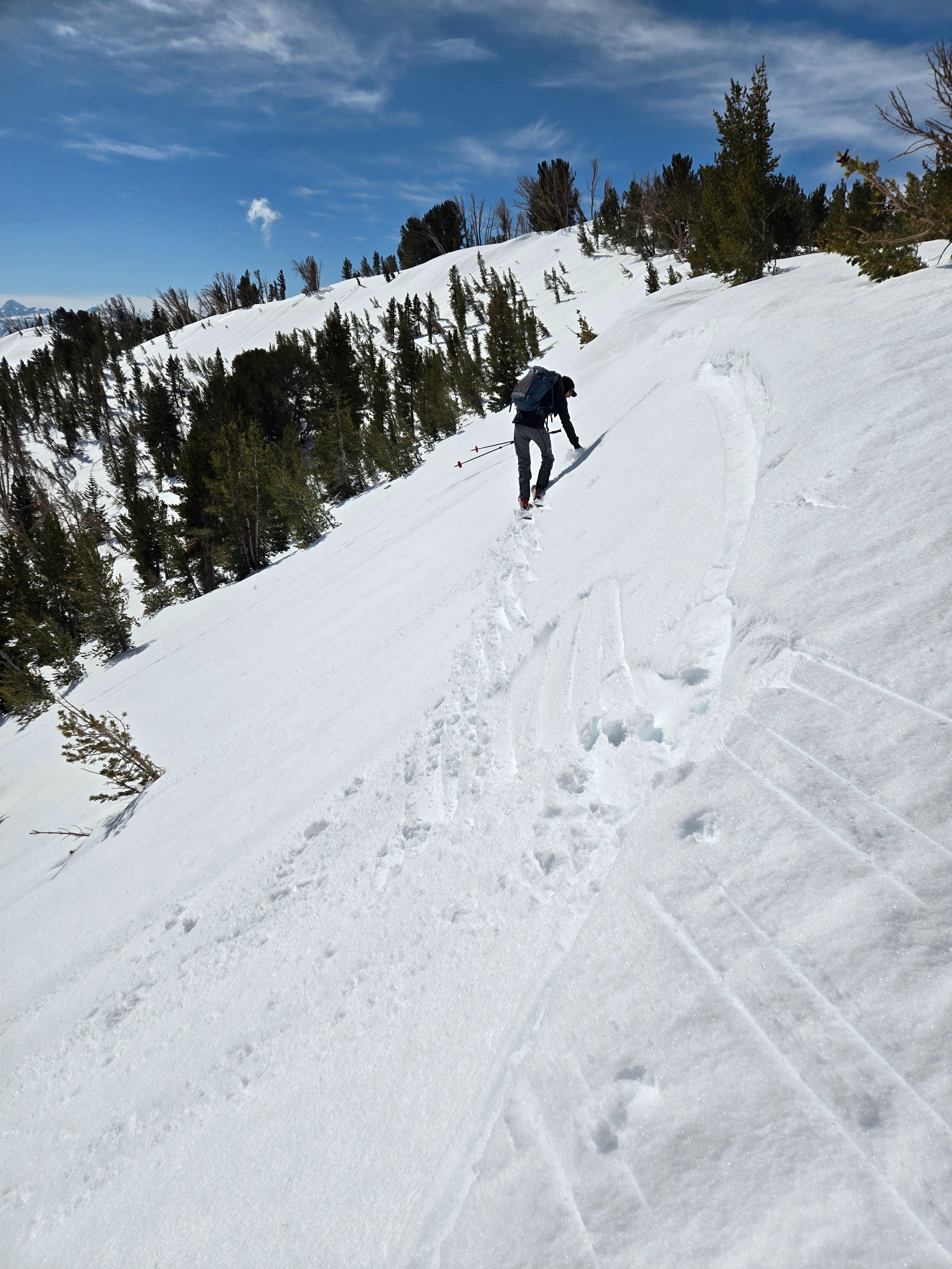
- Leaving the boundary we experienced strong SW winds and firm snow on all but direct East facing slopes where ski penetration was about an inch and boot penetration was above the ankle.
- The sun was strong but the wind was stronger, which kept temperatures cooler than expected. At 9800' at 10:30 it was 37F.
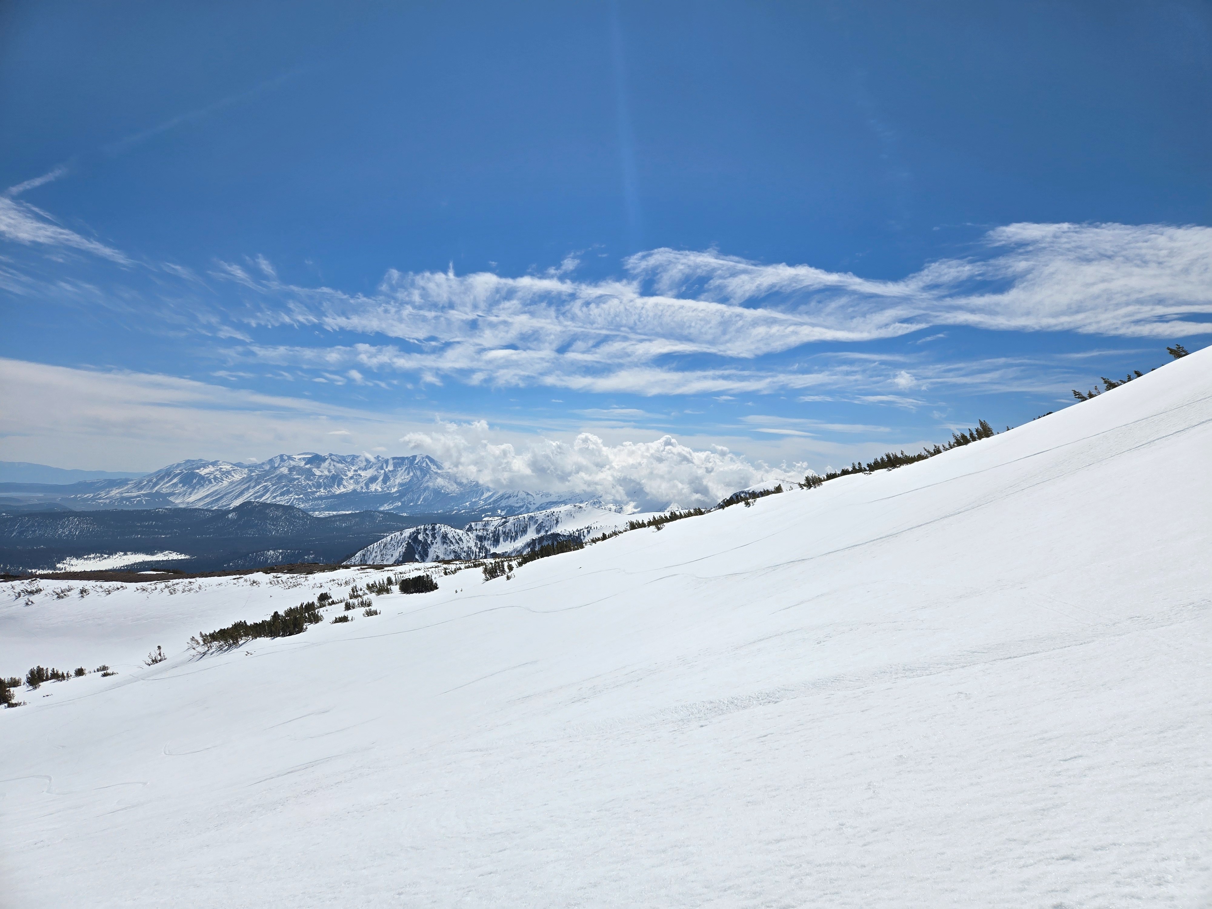
- The cooling effects of the wind were most pronounced above 10000 feet. In fact, it was near freezing at 11200 feet at about noon. On a SE aspect at this elevation ski penetration was minimal.
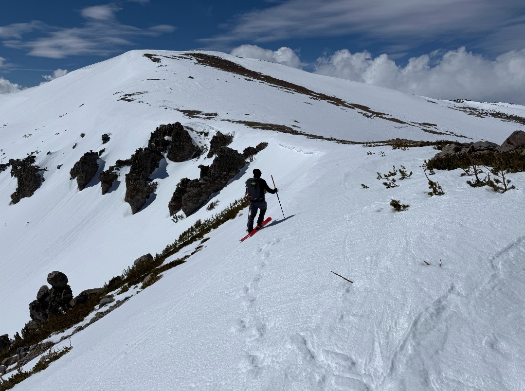
- We chose a descent from 11000 feet that faced the sun and was guarded by rockwalls. With these two factors we still weren't able to initiate any roller-balls or loose wet avalanches. It was still a bit scratchy even at 1230.
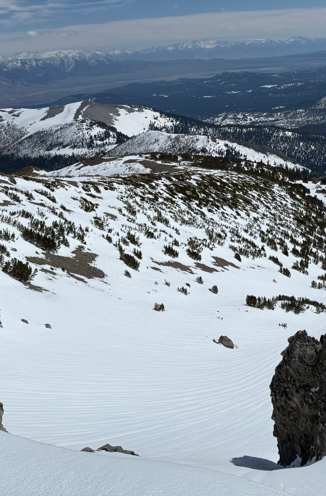
- Runnels from melt water draining through the upper snowpack were present on this East aspect introducing a slightly challening surface condition. These were observed on similar aspects in the area.
- We dug into the snowpack on a NNE aspect in a forested area while returning to the ski area.
- There was more than 2 meters of snow at this location at 9650 feet.
- A strong layer was felt with a probe beginning at about 65 cm from the surface.
- Weaker snow was felt between 135cm and 165cm from the surface.
- The top 10 cm of the snowpack was wet, transitioning to moist snow, then dry snow within the top 50cm.
- There was a complex of crusts near the surface which we think helped to prevent melt water from percolating deeper into the snowpack.
Weather
- Air Temp
- Near or above freezing.
- Cloud Cover
- scattered
- Wind Loading
- none
- Snow Avail For Transport
- none
Cloud cover increased slightly thoughout the morning before clearing to mostly sunny in the afternoon. Winds increased out of the southwest at all elevations throughout the day, with their effects being most prominent above about 10,000 ft.
Snowpack
- We found a stable snowpack today where we travelled.
- There were no recent signs of instability.
- The snowpack was slower than expected to soften on direct solar aspects and even near sources of radiation such as trees and large rocks.
- Surface snow showed at least some sign of a melt/freeze process on all aspects and elevations on which we traveled. However, signs of melt were faint on a North aspect near 11,000 feet with dry snow almost immediately below the surface.
- By 1230, below 10,000 feet, all aspects had begun to soften with East aspects being the least supportive on skis. We still could not trigger any rollerballs or small loose wet avalanches on test slopes at these elevations.
- North aspects below tree line had approximately 10 cm of wet surface snow which had previously been frozen as a stout crust.