
Quick report
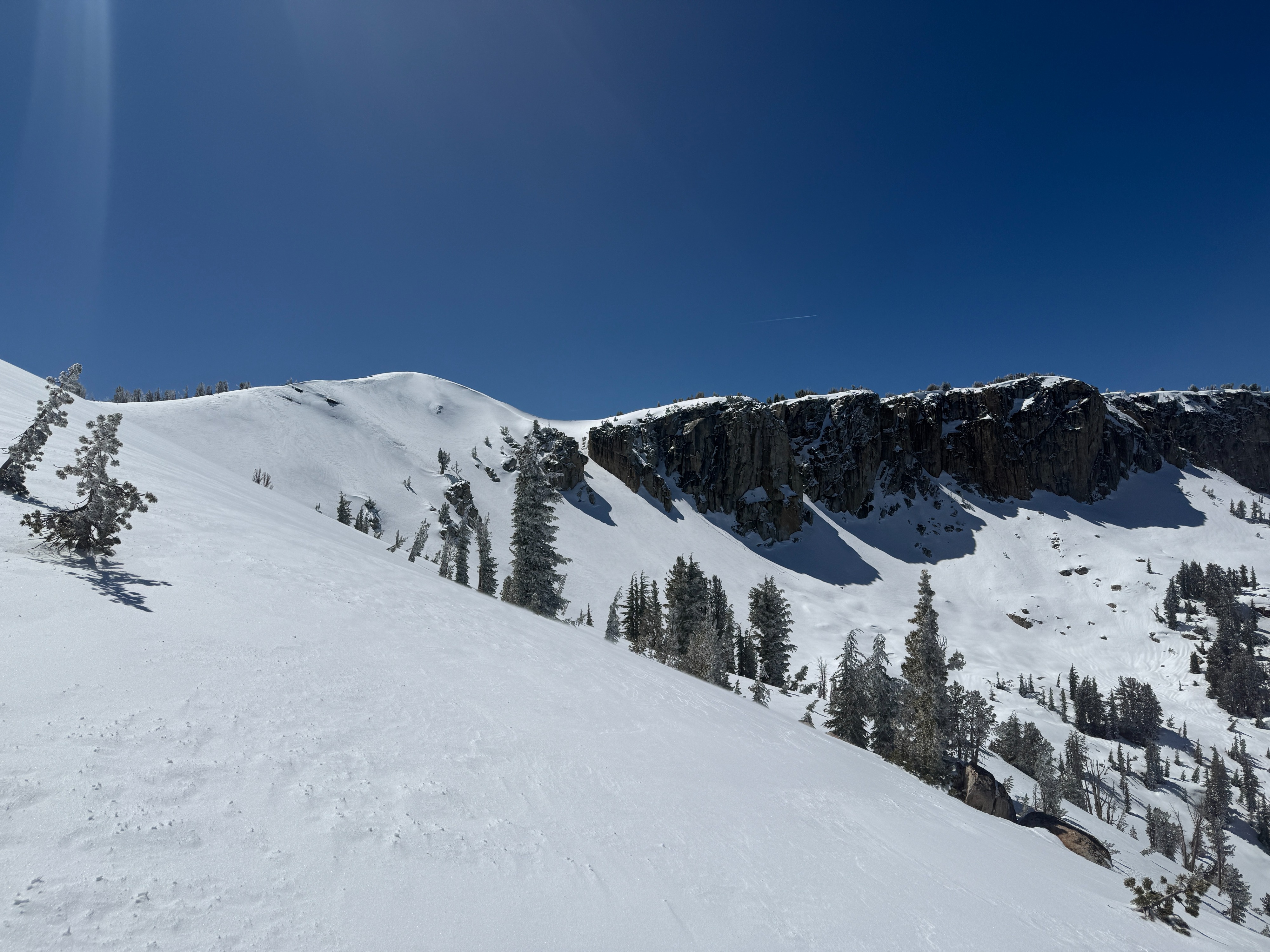
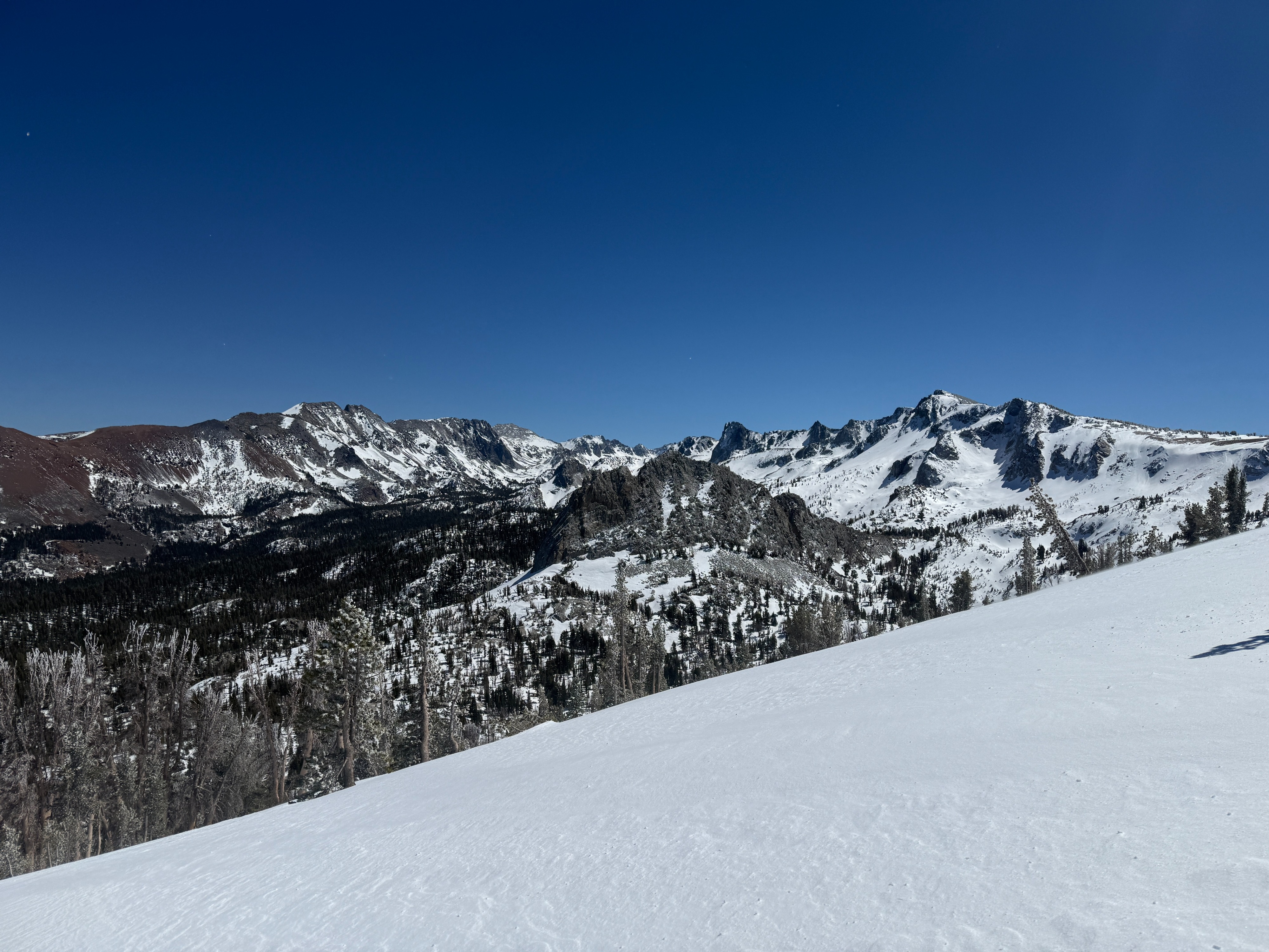
I went for a tour in the lake basin today to get a read on how much new snow fell over the last couple days and to get an idea of the distribution of recent wind loading.
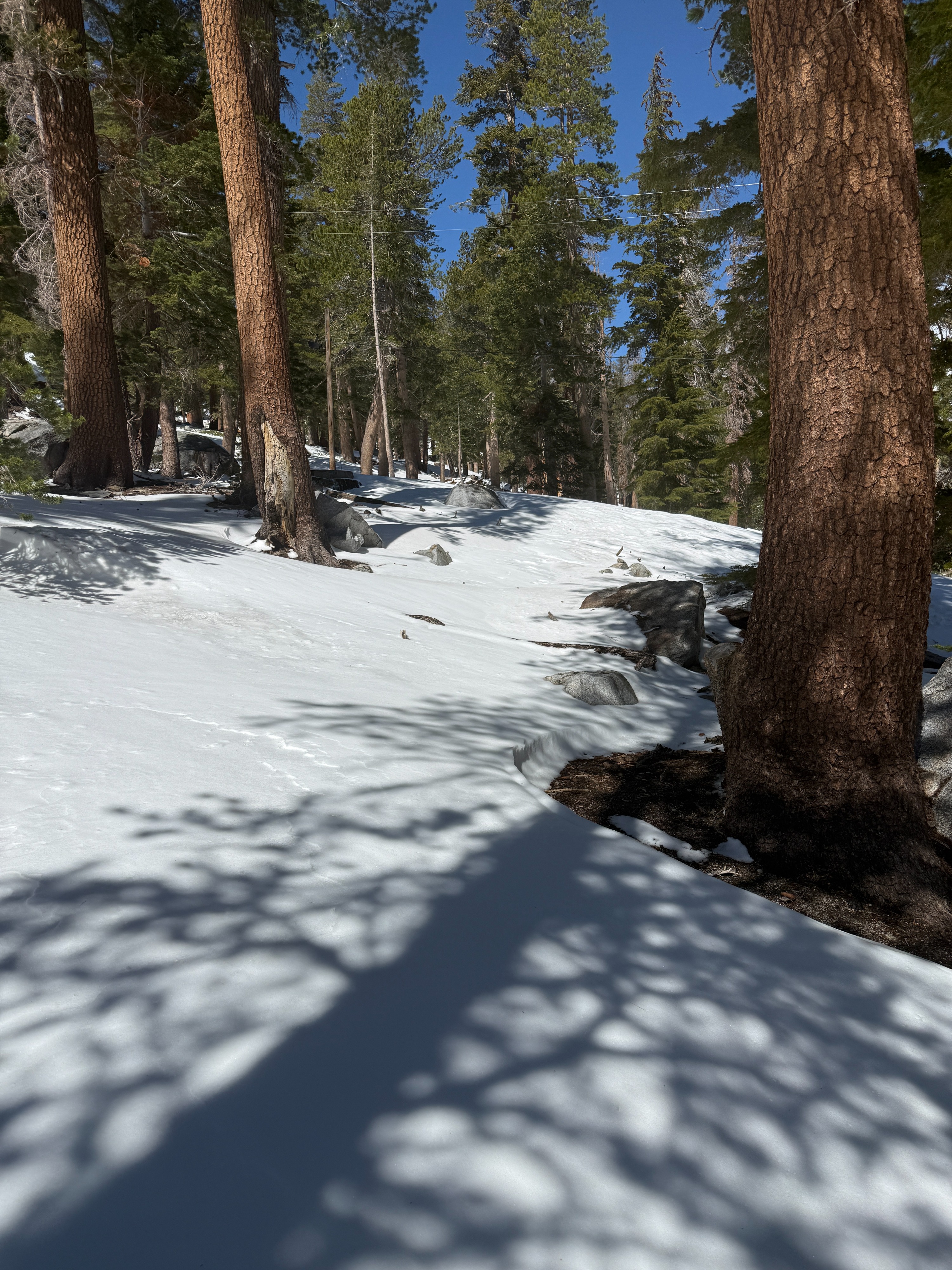
- Crews are working on clearing the roads, and I walked in tennis shoes from the tamarack trailhead to the Lake George parking area. Coverage was thin and discontinuous below 9200 feet or so.
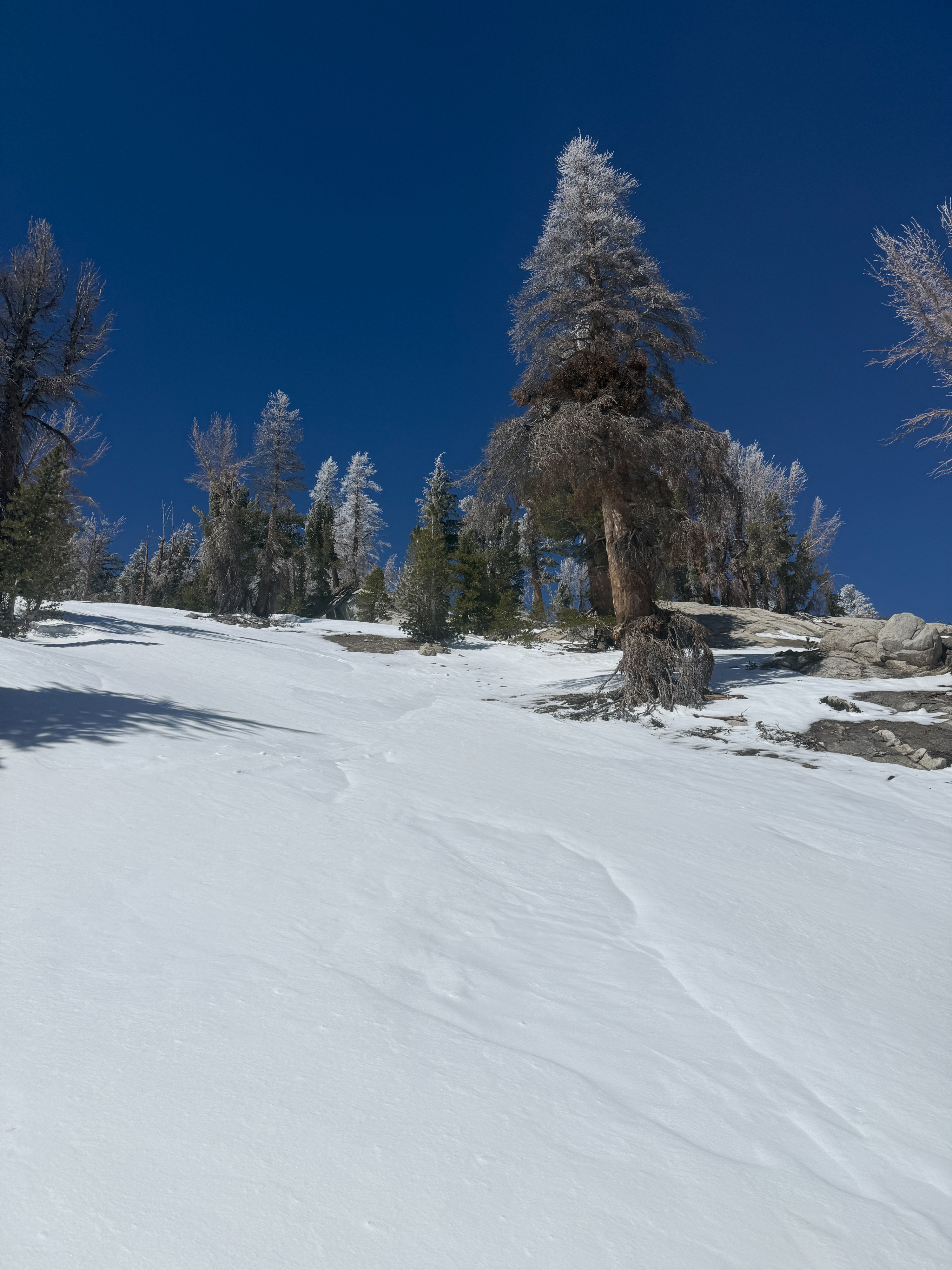
- New snow totals are a bit hard to gauge because our recent extreme winds have done a good job of redistributing it. I measured about 2 to 6 inches on average for my tour today. In favorable catchment areas, I measured as much as 12 inches, and at lower elevations, a trace would be most accurate.
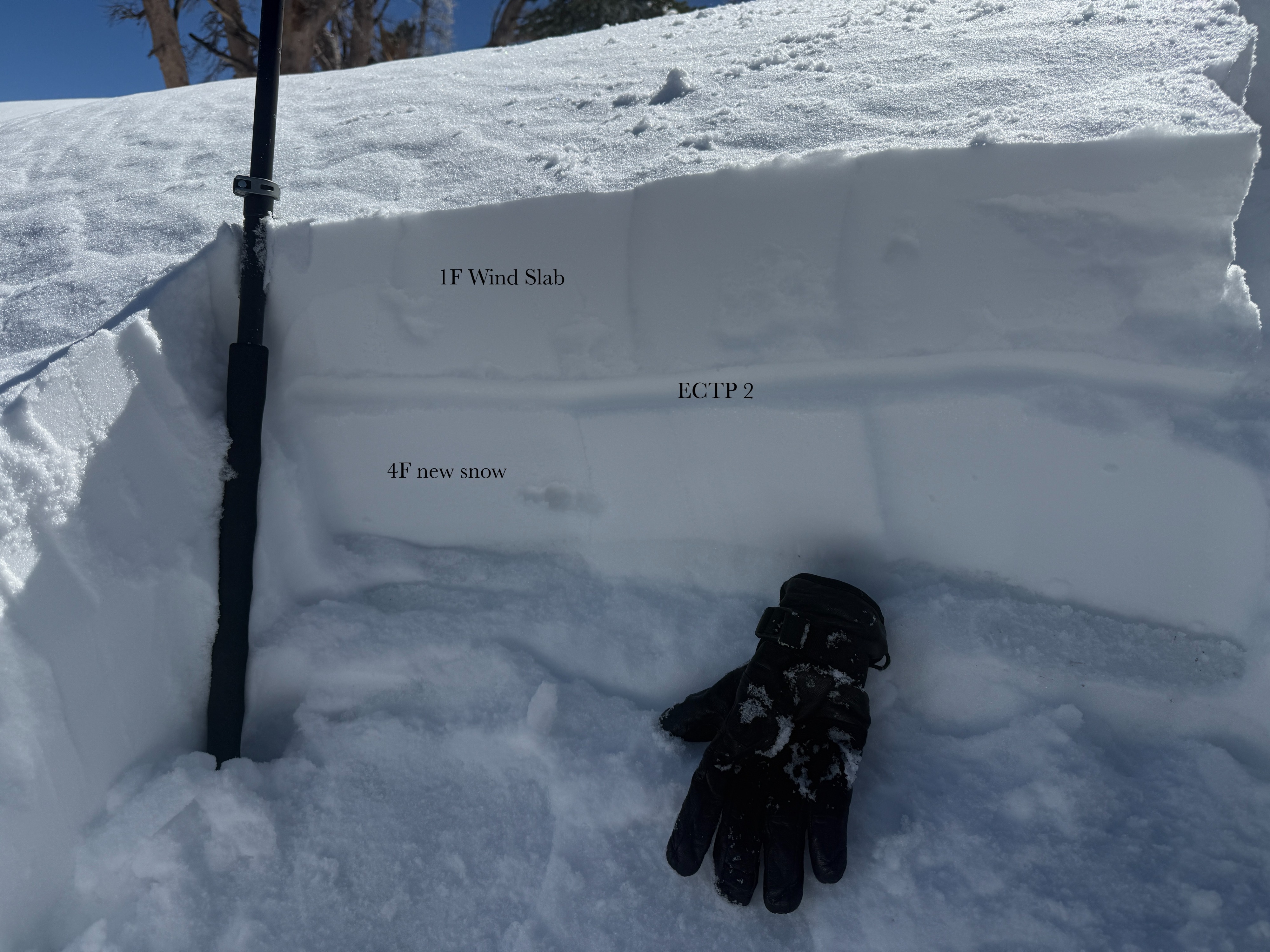
- I found a few areas with recent wind deposits. One finger slabs resting on four finger snow below. I would describe these areas as stubborn and shallow. Slab depths were about 4 to 6 inches.
- I don't quite pit on a wind-loaded terrain feature at about 10,100 feet on the north aspect. I saw propagation in an ECT test after two taps from the wrist, but I was unable to initiate an avalanche or shooting cracks when stomping around on the feature.
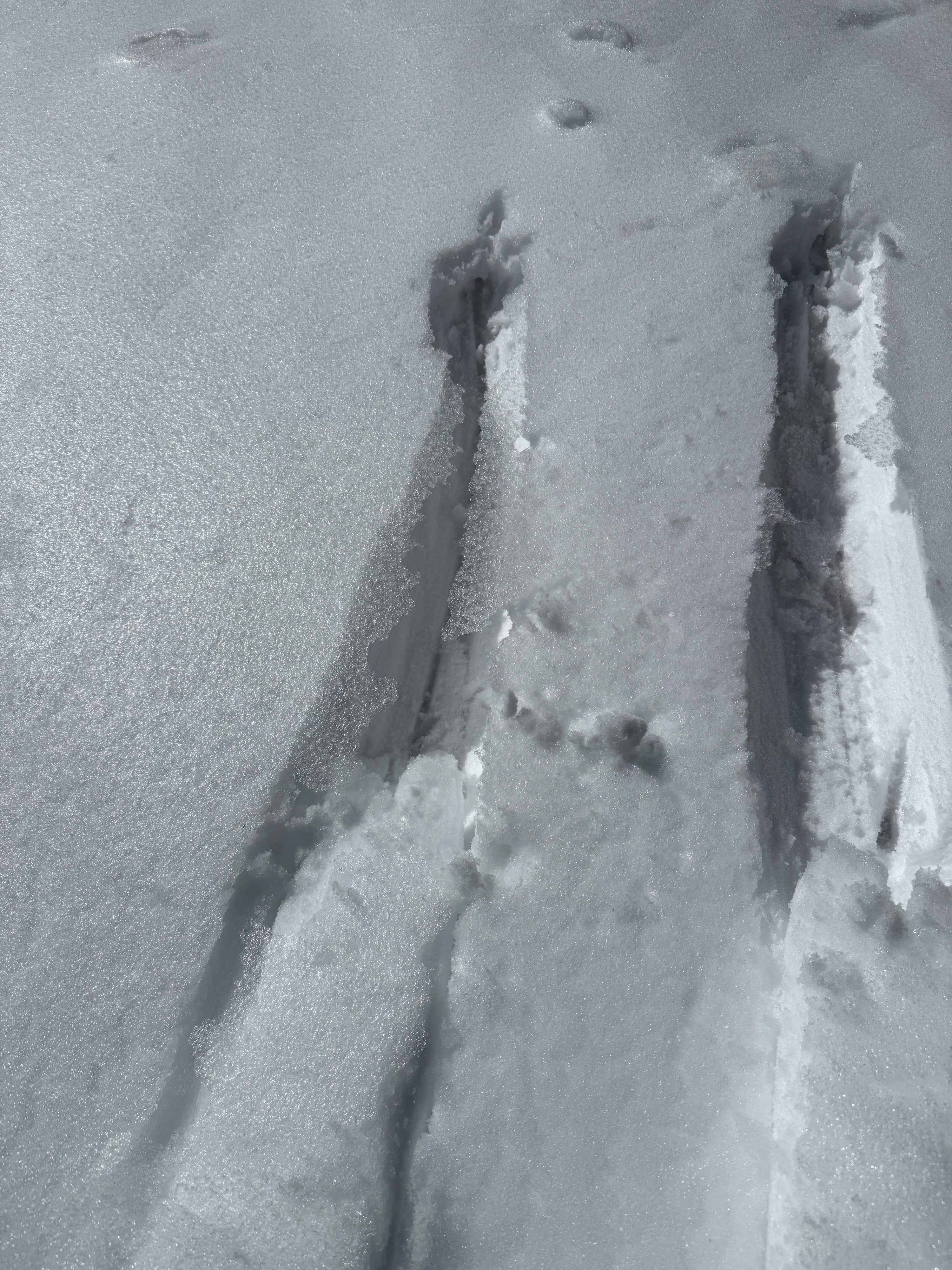
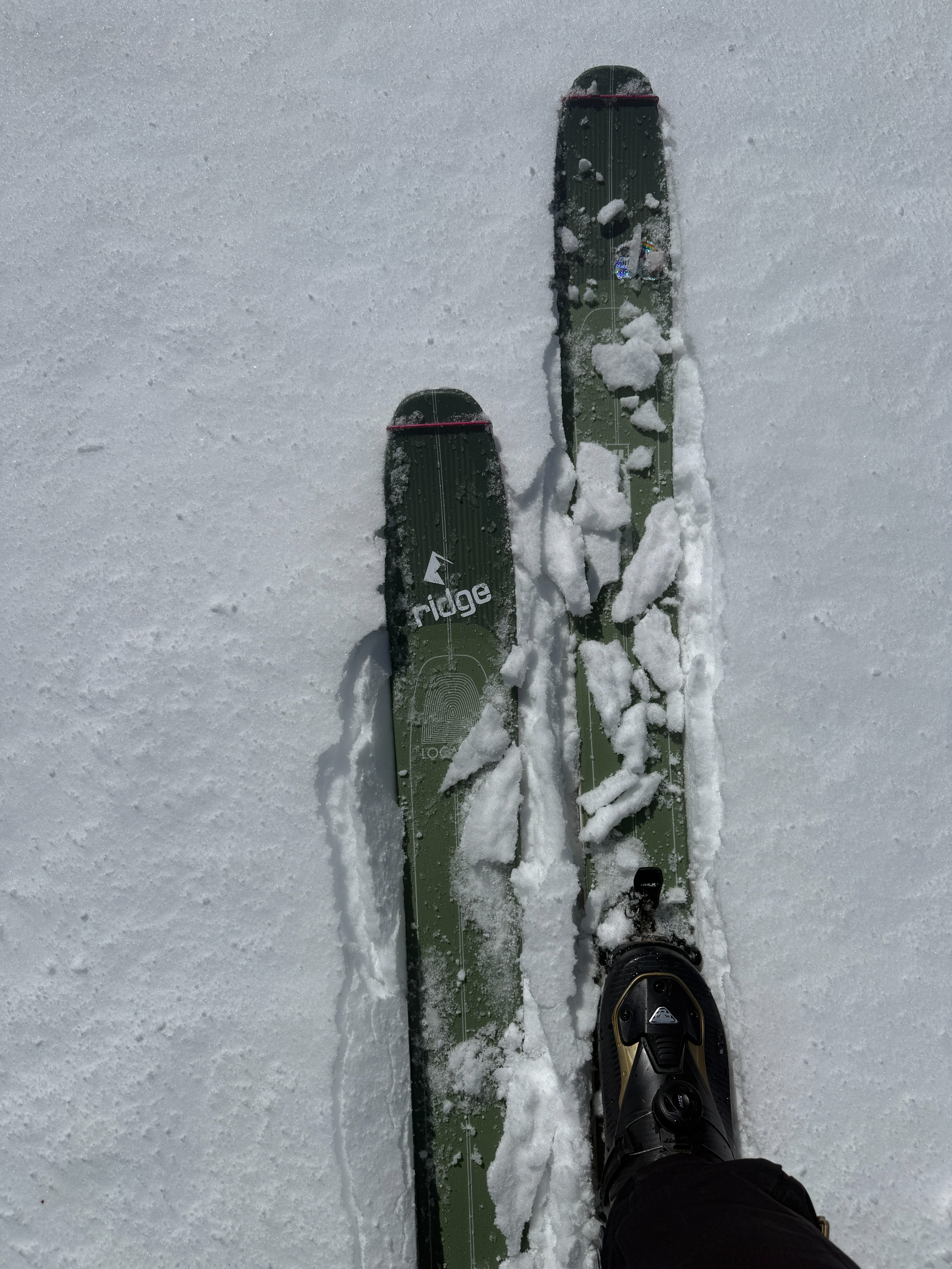
- I observed that surface snow was becoming moist and heavy on sun-exposed slopes and at lower elevations by mid-afternoon. I also observed a thin melt freeze crust in several areas that likely formed during the day yesterday.
No recent avalanches or signs of instability were observed.
Weather
- Air Temp
- 29
- Cloud Cover
- few
- Recent Snowfall
- 15
- Snow Avail For Transport
- small smounts
Strong winds this morning decreased throughout the day, becoming light/moderate by this afternoon. Temperatures were near freezing, but mostly sunny skies made for a pleasant day in the hills.