
Quick report
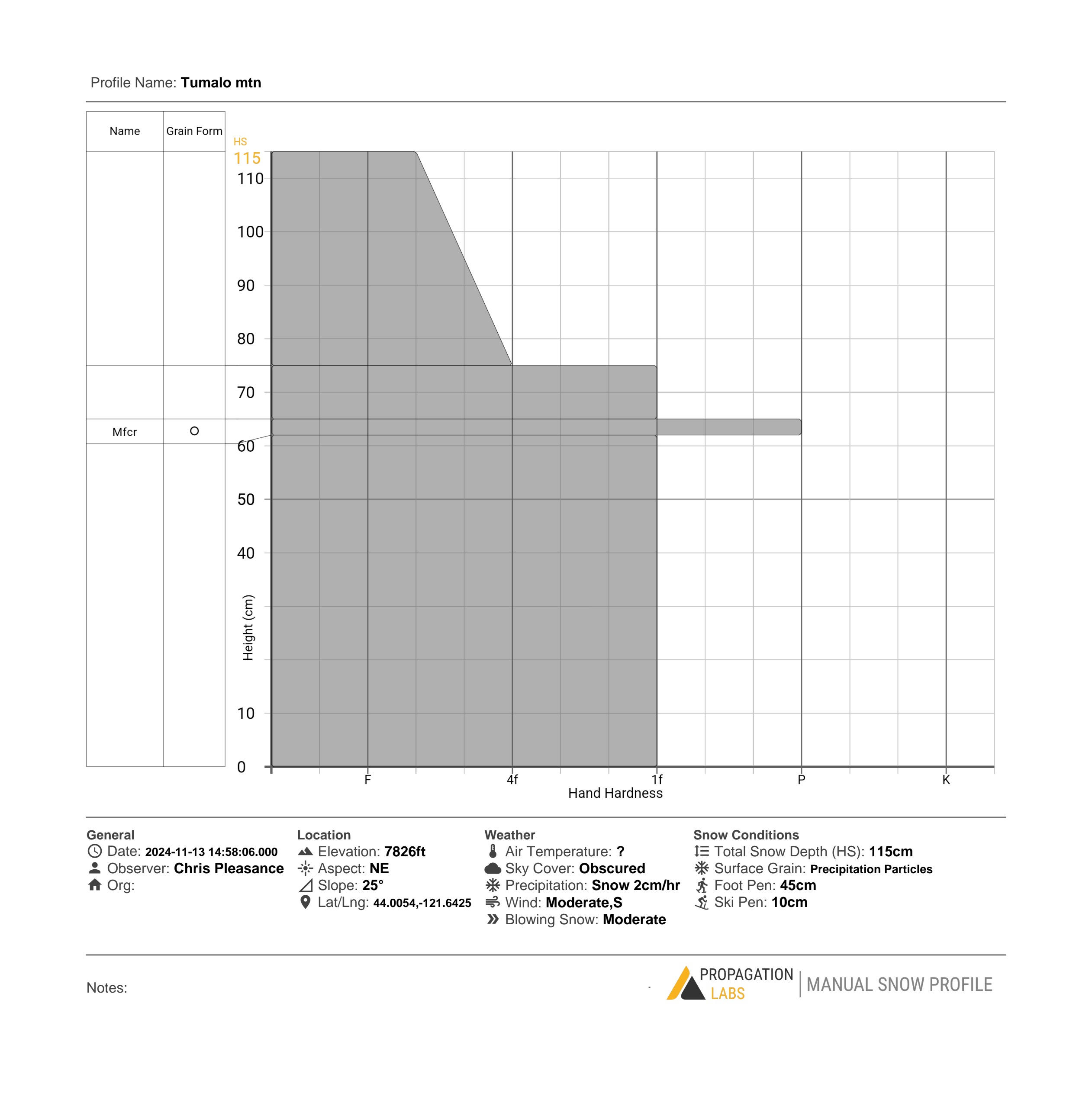
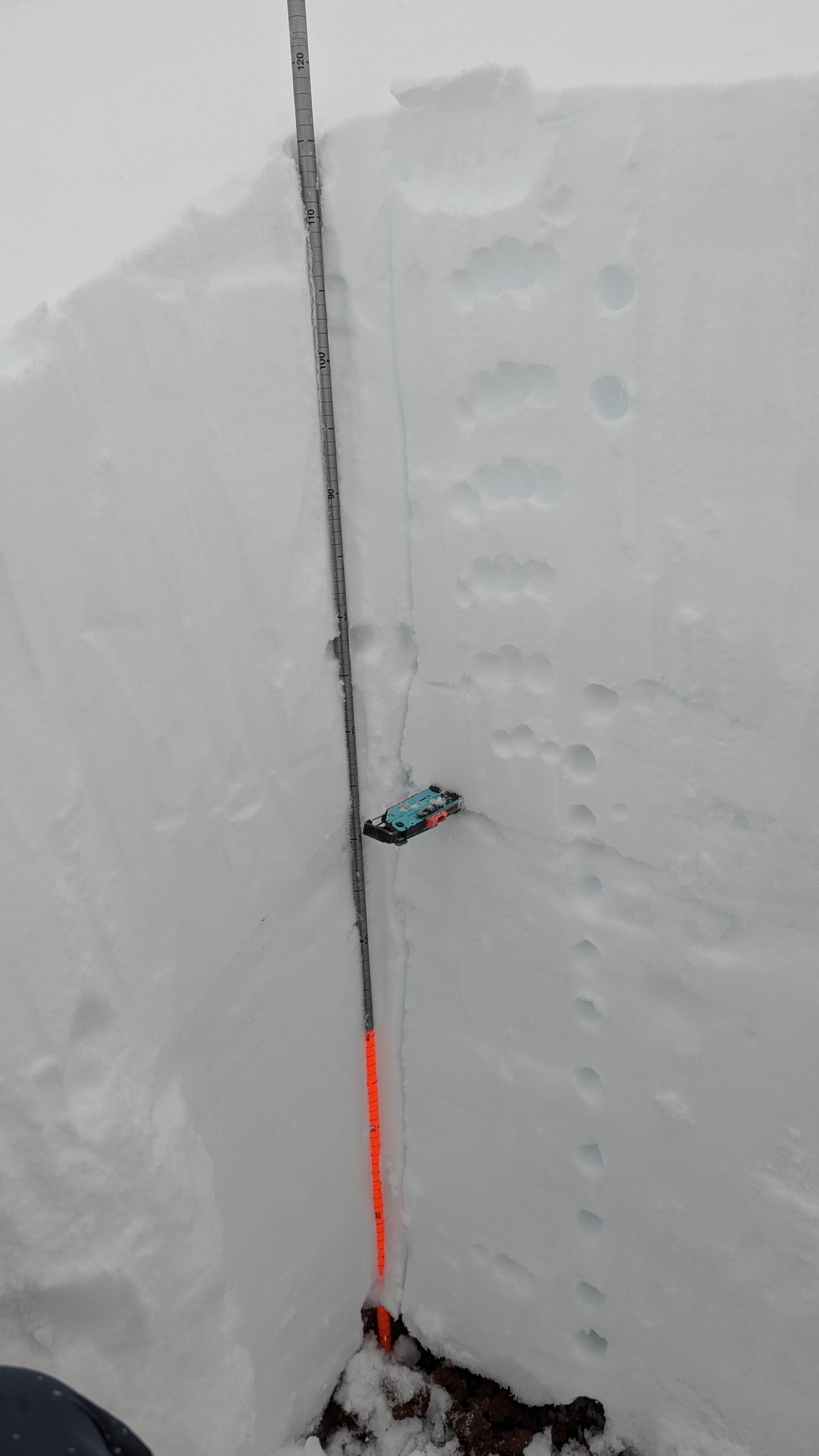
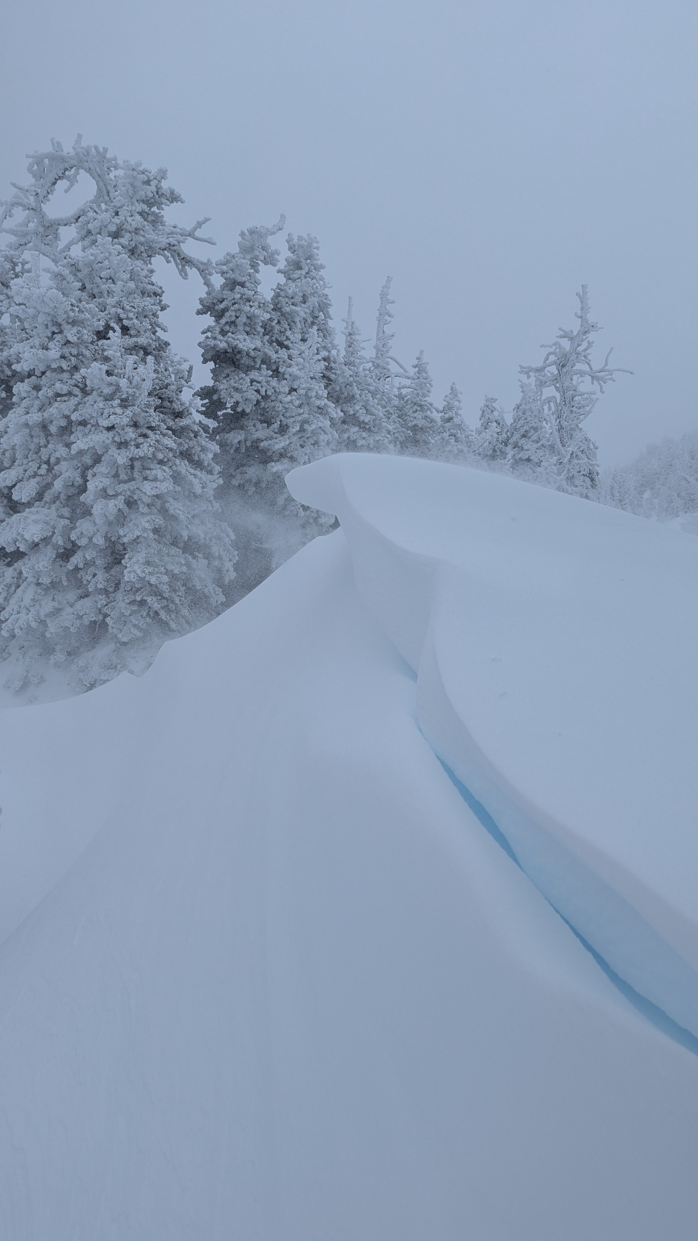
I was pleasantly surprised by an early-season snowpack that provided fun turns from the summit back to the Dutchman parking lot. I observed roughly 70-80cm of snow at the base (6400') and 100-115cm at the mid and upper elevations up to 7700'. The recent snow was medium-density powder with notable wind effect in the more exposed terrain above 7400'. Cornice development was in progress. Overall skiing was great for mid-November and the storm snow seemed like it was bonding well to the older surface. However, heavy snowfall and wind transport will continue overnight so I suspect the instability will continue to rise. A CT test was performed with no planar failures occuring. Inner storm layers made themselves visible through irregular and resistant fractures in the upper 30cm, around 22 taps.
Weather
- Cloud Cover
- obscured
- Wind Loading
- moderate
- Recent Snowfall
- 40cm Storm Total
- Snow Avail For Transport
- moderate amounts
The storm is in progress! I observed blowing snow at all elevations, although the tree cover provided good protection. There was a moderate wind out of the S-SW that contributed to moderate loading on the N-NE aspects (i.e. Tumalo bowl). It was cold enough to be snowing down to Wanoga!
Snowpack
I observed a relatively cohesive snowpack made up of two major storm events. A lower layer (1f) extending up 65cm from the ground makes up our earlier snowfall -- prior to the brief high-pressure system from last week. This layer is capped by a 2-3cm MFcr atop which sits our more recent 50-60 cms of snowfall which appears to be right side up from 1f to fist hardness. The surface is made up of precip particles.