
Quick report
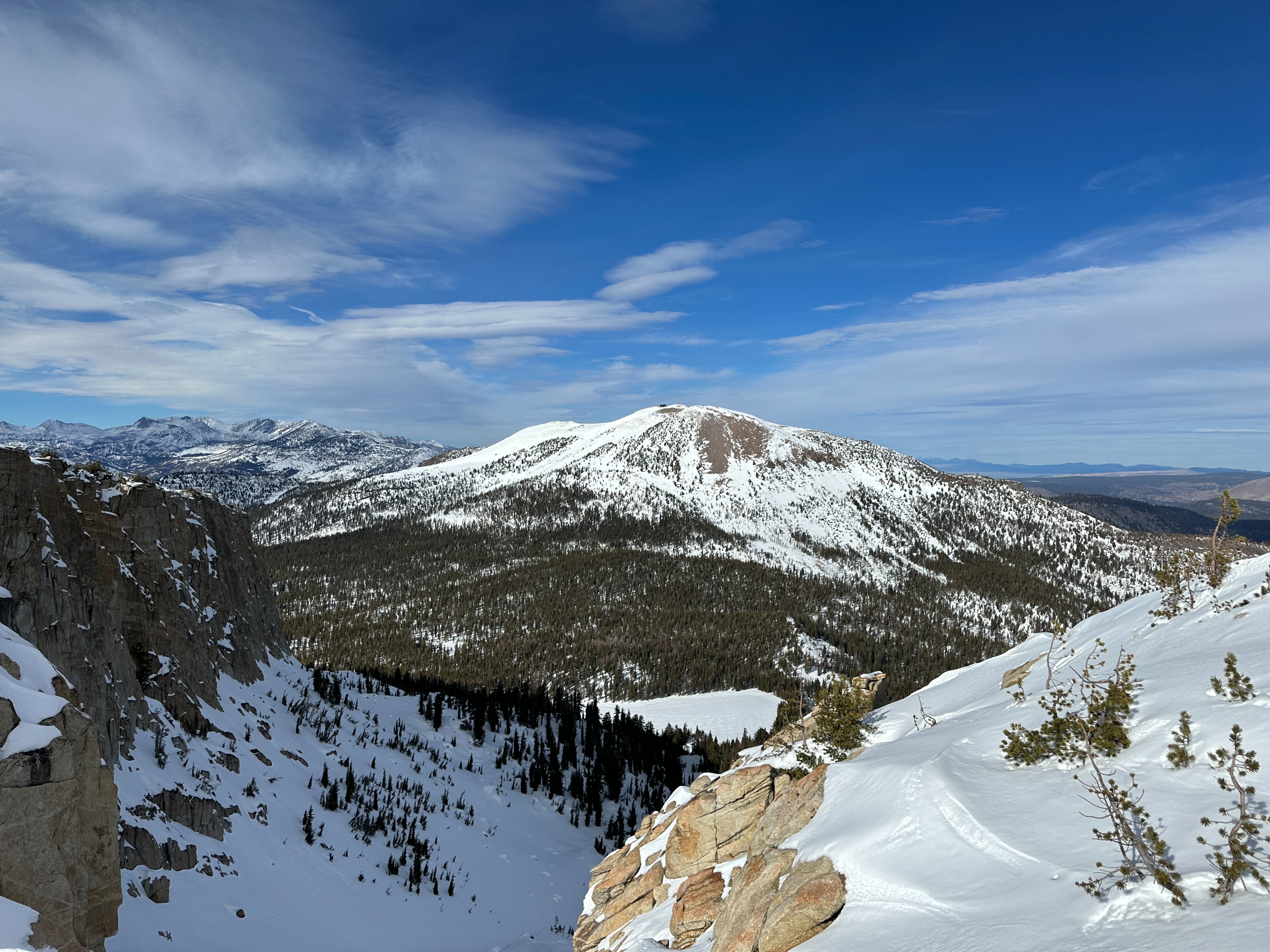
I ventured into the Lakes basin for a pre storm survey of surface conditions and to get an idea of any changes we may have seen to the basal facet layer with this week’s warm up.
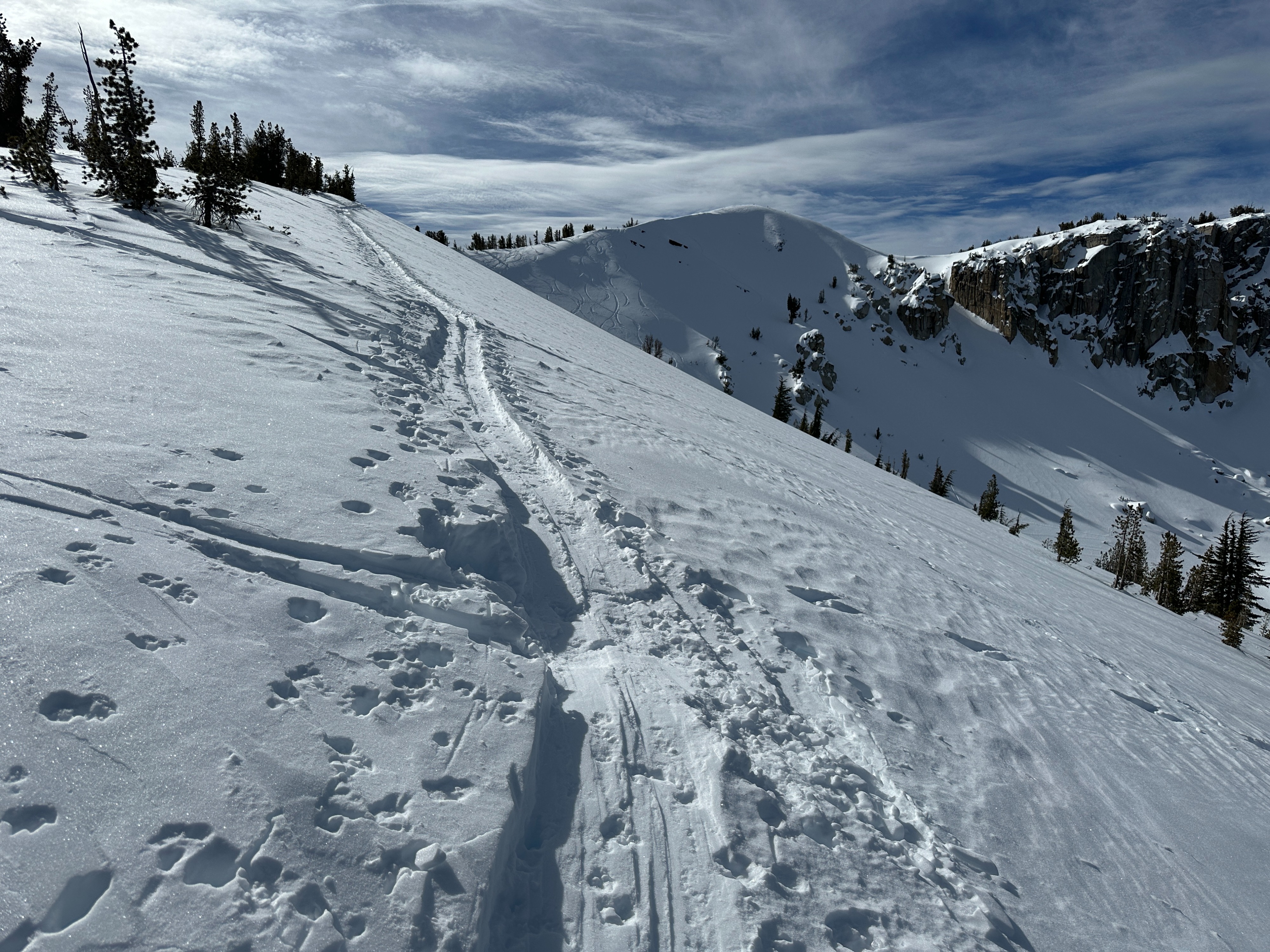
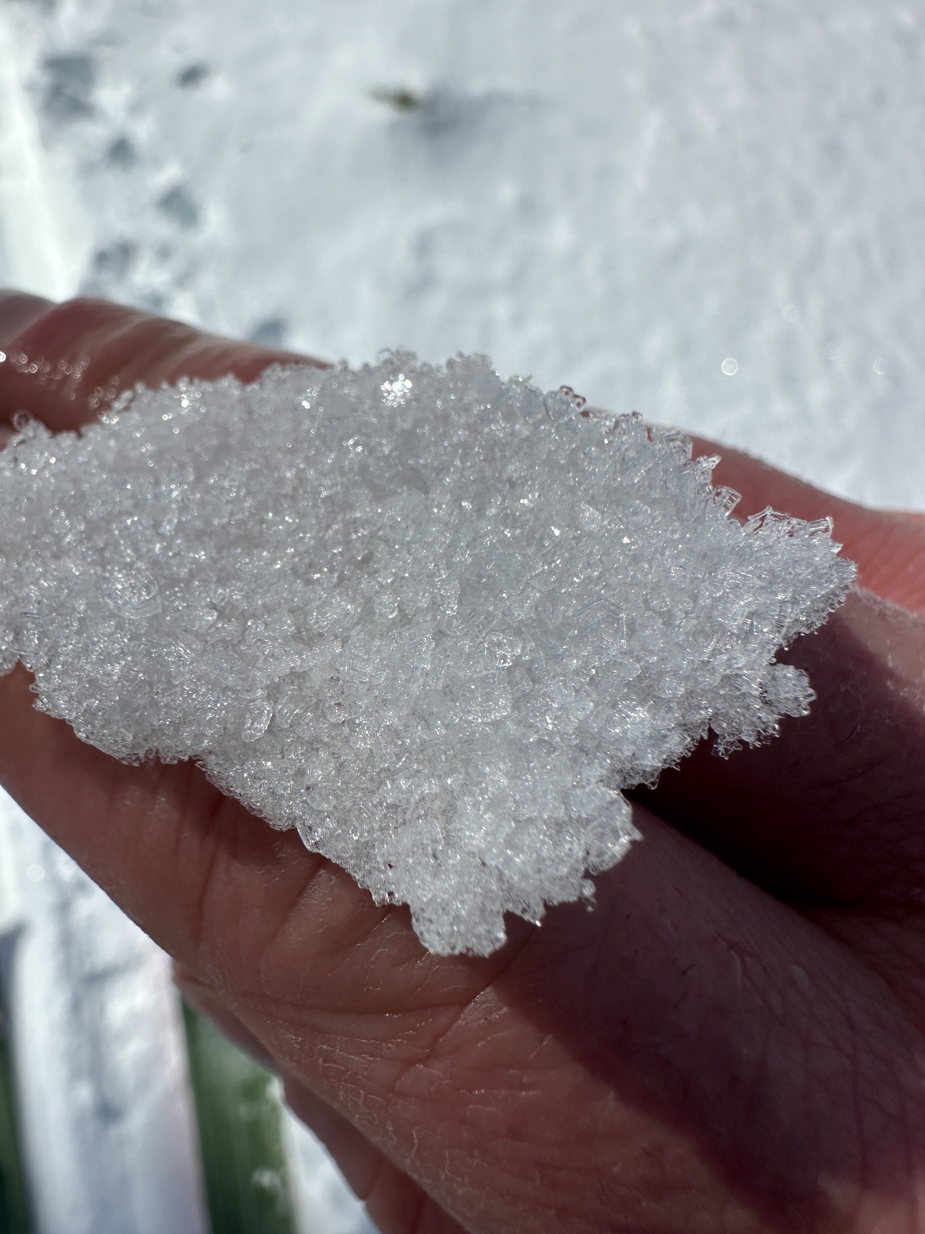
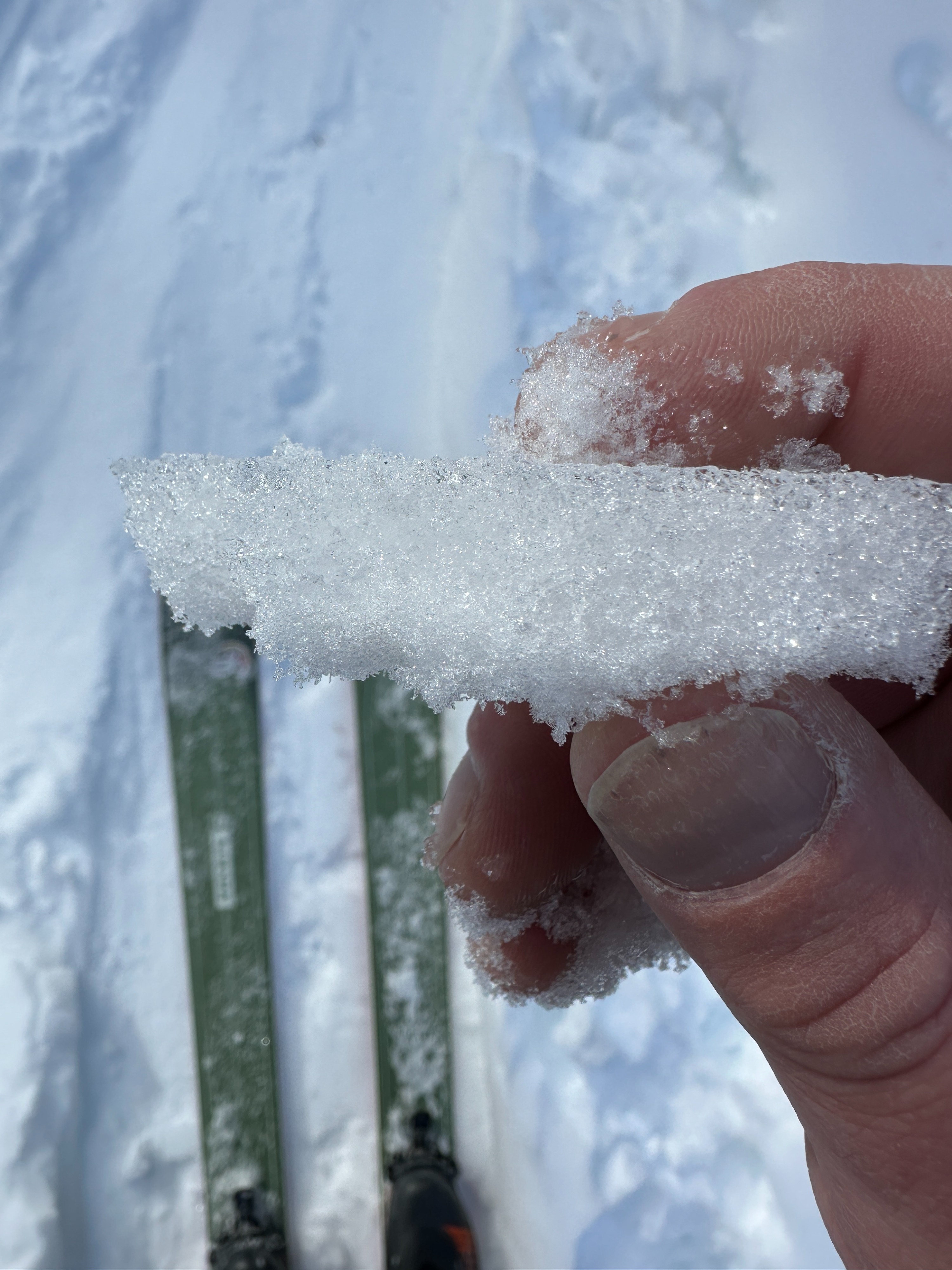
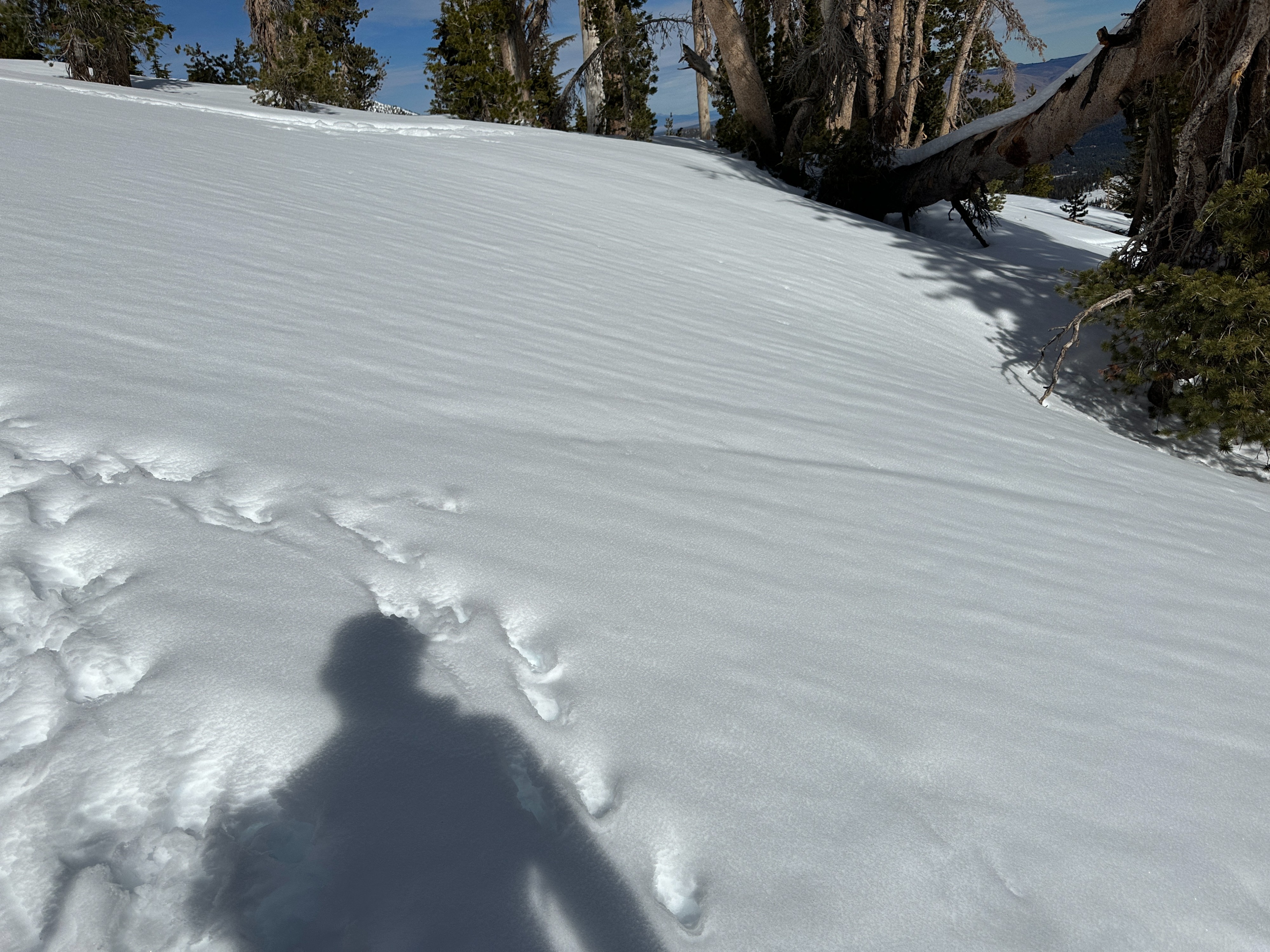
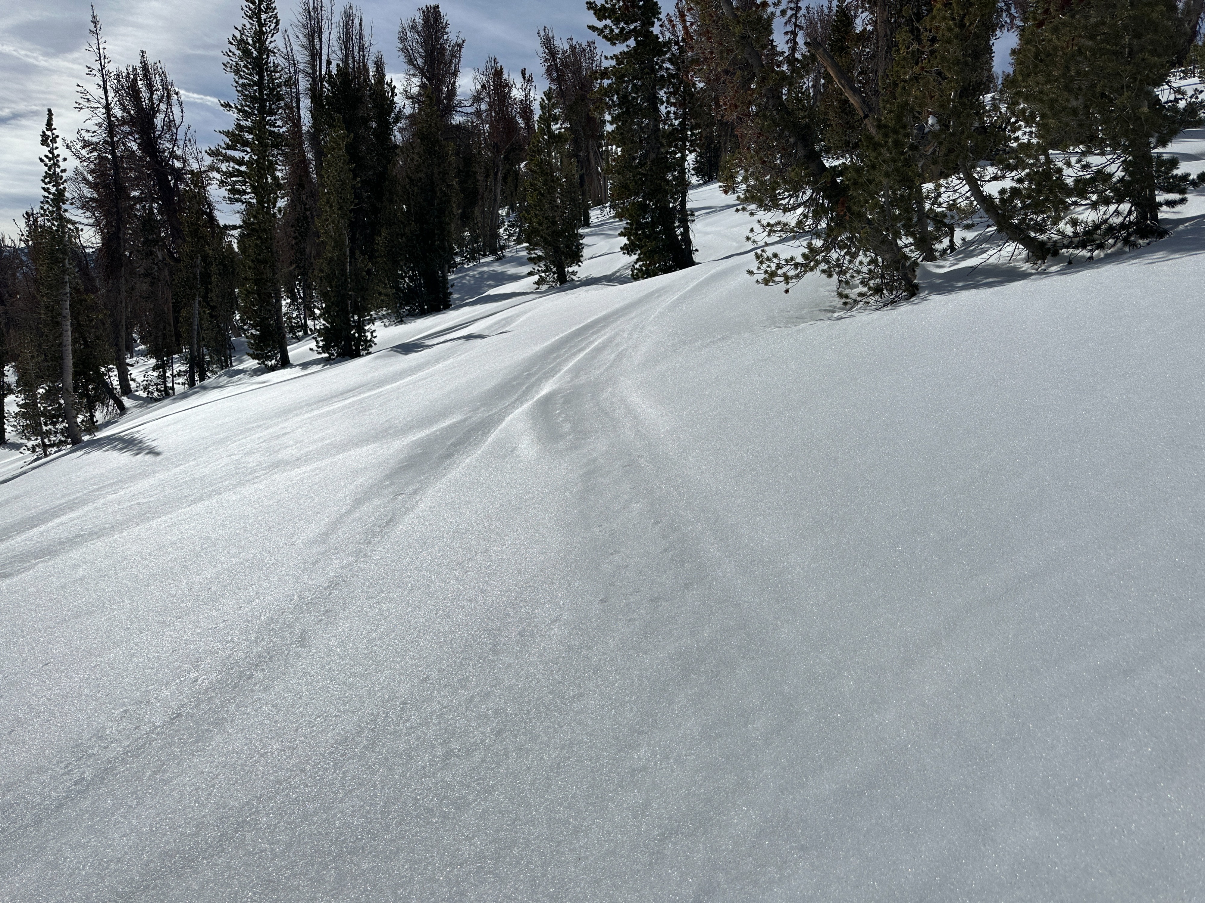
- Melt forms were widespread along my tour at all elevations today. Below treeline the surface was wet, and sticky basically everywhere. Near and above treeline surfaces were moist where exposed to the sun. In areas with indirect sun or in the shade, melt freeze crusts up to 2 cm thick dominated. The exception to this was In sheltered and shaded slopes above 10,000’ where I managed to find a few isolated areas with loose and dry surface snow.
- I saw a few fans of roller balls that likely occurred over the past couple days but no fresh signs of wet instabilities were noted on my tour today.
- Below 9000’ or so the entire snowpack is moist to wet.
- Above 9500’ or so the basal facets are consistently dry and well formed.
- For those who have been wondering about the incorrect HS numbers at the Mammoth pass gauge. The equipment is in need of repairs, but I did get a manual read today HS= 135 cm (53”)
Weather
- Cloud Cover
- broken
- Wind Loading
- none
- Snow Avail For Transport
- small smounts
Mostly cloudy skies with warm temps and light to moderate winds out of the southwest
Snowpack
I dug in in two locations near treeline. My first pit was on a WNW aspect at 10200’ and my second was on a NE aspect at 10,400’. In both locations I observed a thin MF crust on the surface with some near surface faceting below the crust. And in both locations the basal facets were identified as the layer of concern. This weak layer near the ground showed sudden collapse results in compression tests and propagation in both my ECT test as well as a PST. (see profiles for more details)