
Quick report
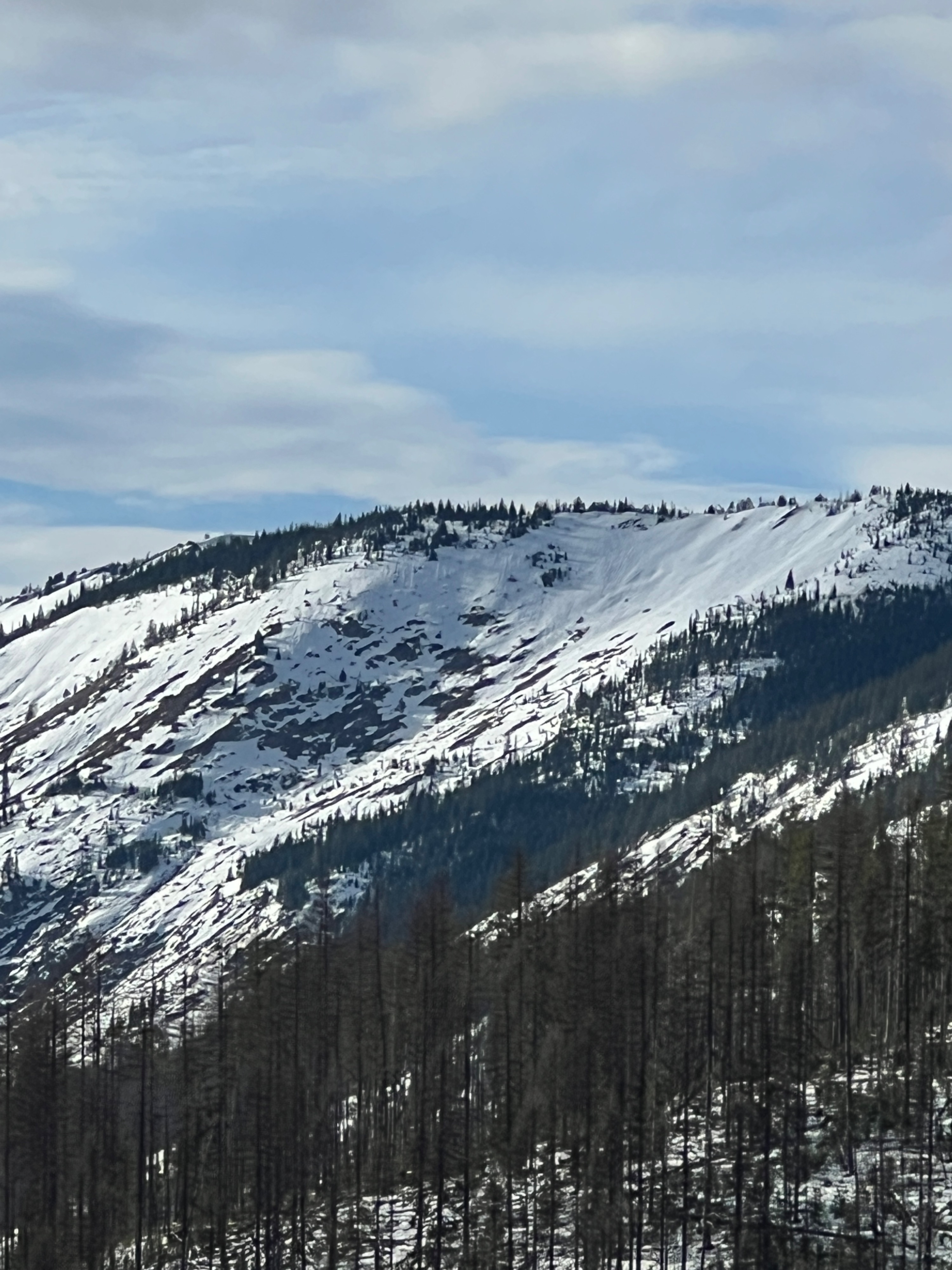
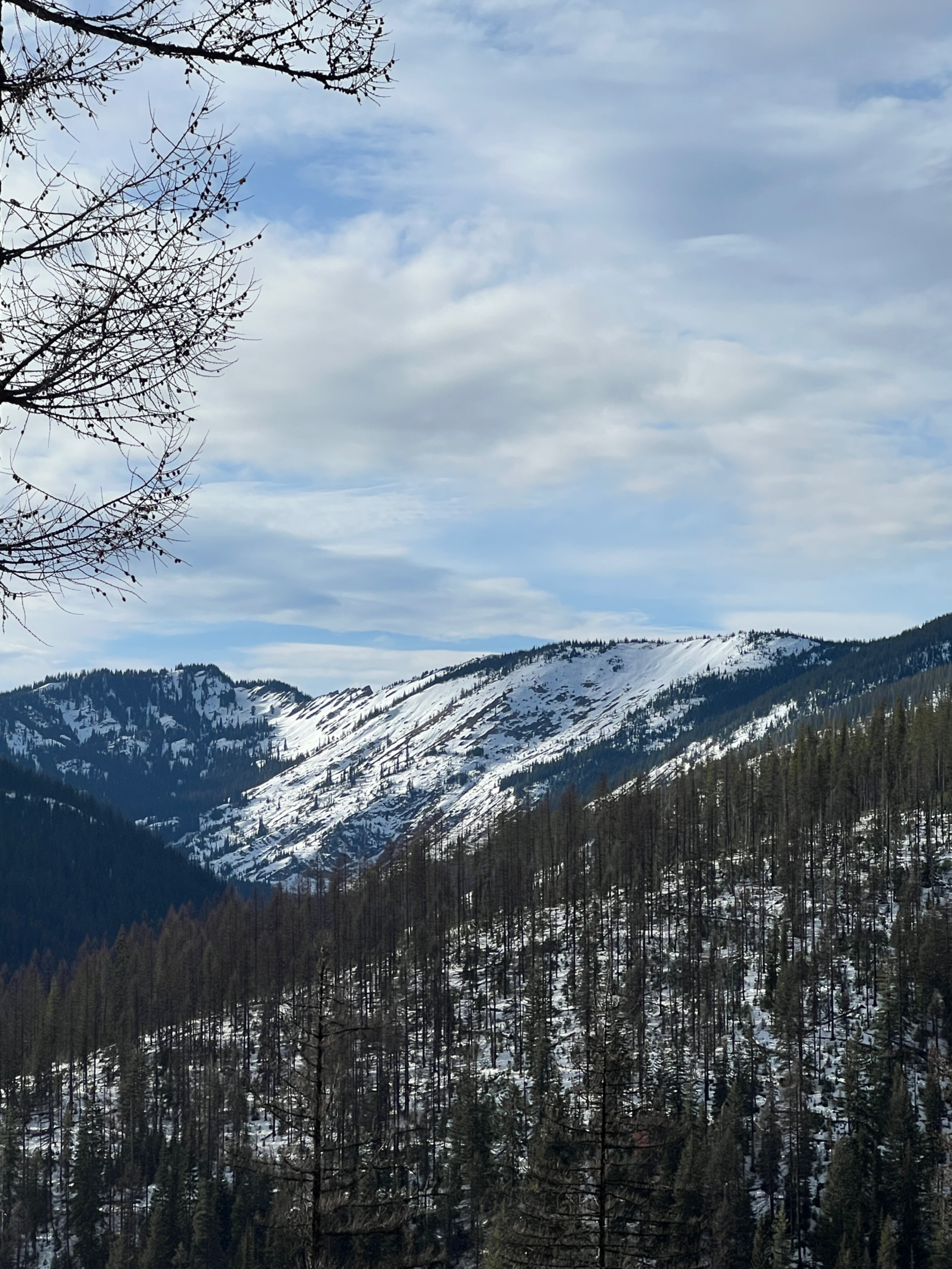
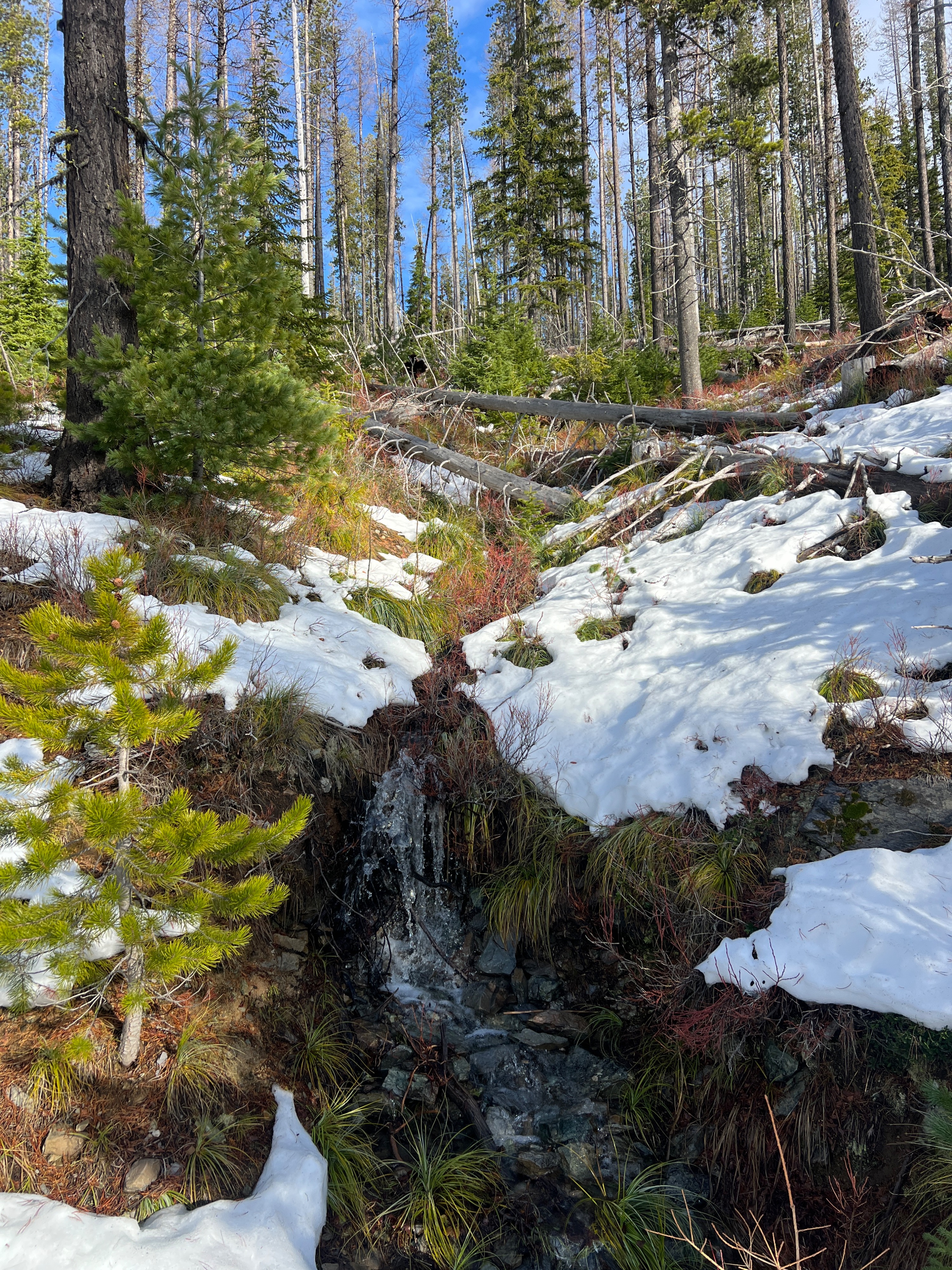
The amount of water in the snowpack from rain, and the presence of warm temperatures-which has accelerated the amount of meltwater, significantly decreased snowpack height and coverage on all aspects and elevations. Unfortunately, BTL is back to being mostly bare ground with very patchy snow coverage.
Not observedWeather
- Air Temp
- 40
- Cloud Cover
- broken
- Wind Loading
- previous
- Rain Elevation
- Not observed
- Recent Snowfall
- 0
- Snow Avail For Transport
- none
High and dry. Mild temps, upper 30s F to low 40s F. Scattered skies evolved to broken by the end of the day, as the weather started shifting with the onset of another active weather pattern on the horizon. Light winds from the west, with the occasional moderate gust near ridge top.
Snowpack
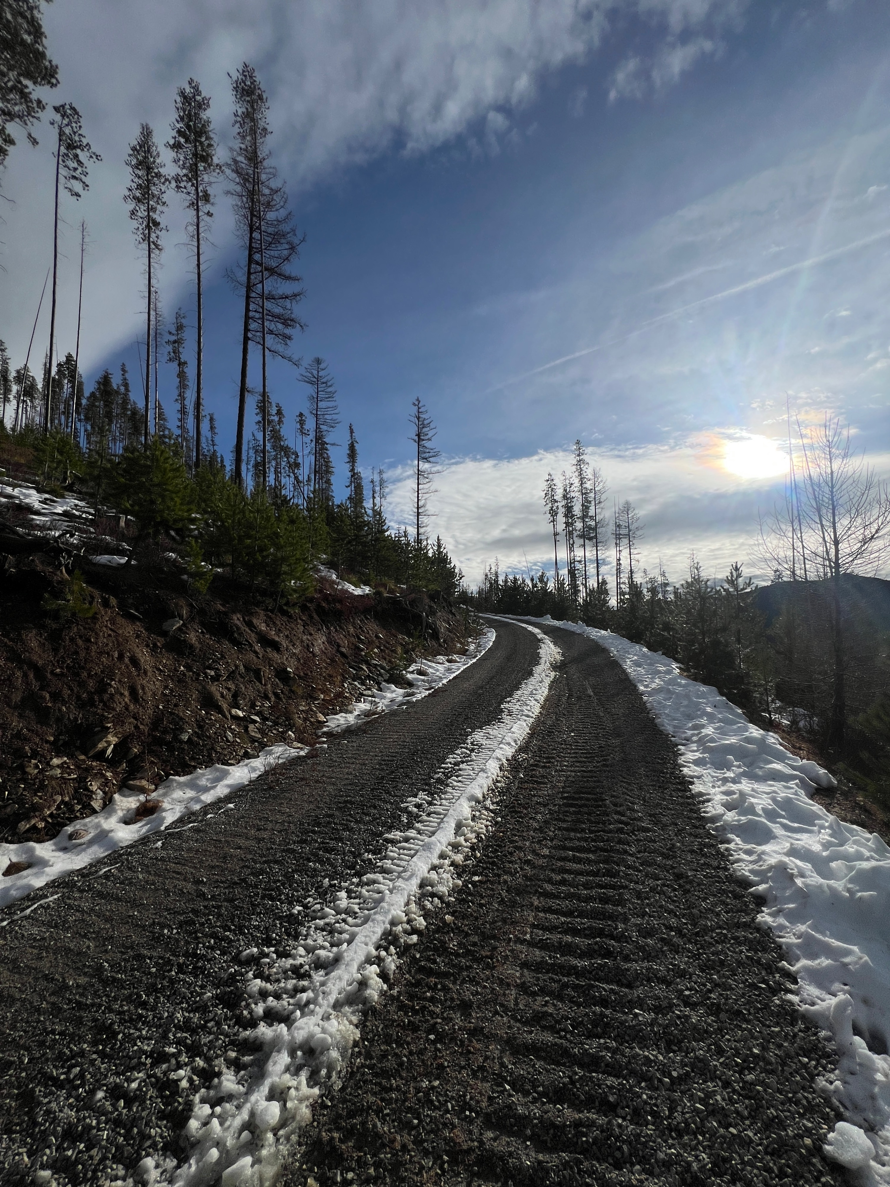
Our poor snowpack has really been through the wringer this past week. Below tree line has taken a massive hit, and snow cover is dismal below 5500'. Trailheads are back to dirt, creeks are running, and grass is emerging. Accessing higher terrain with better coverage is quite a journey right now. Everything looks and feels like late spring.
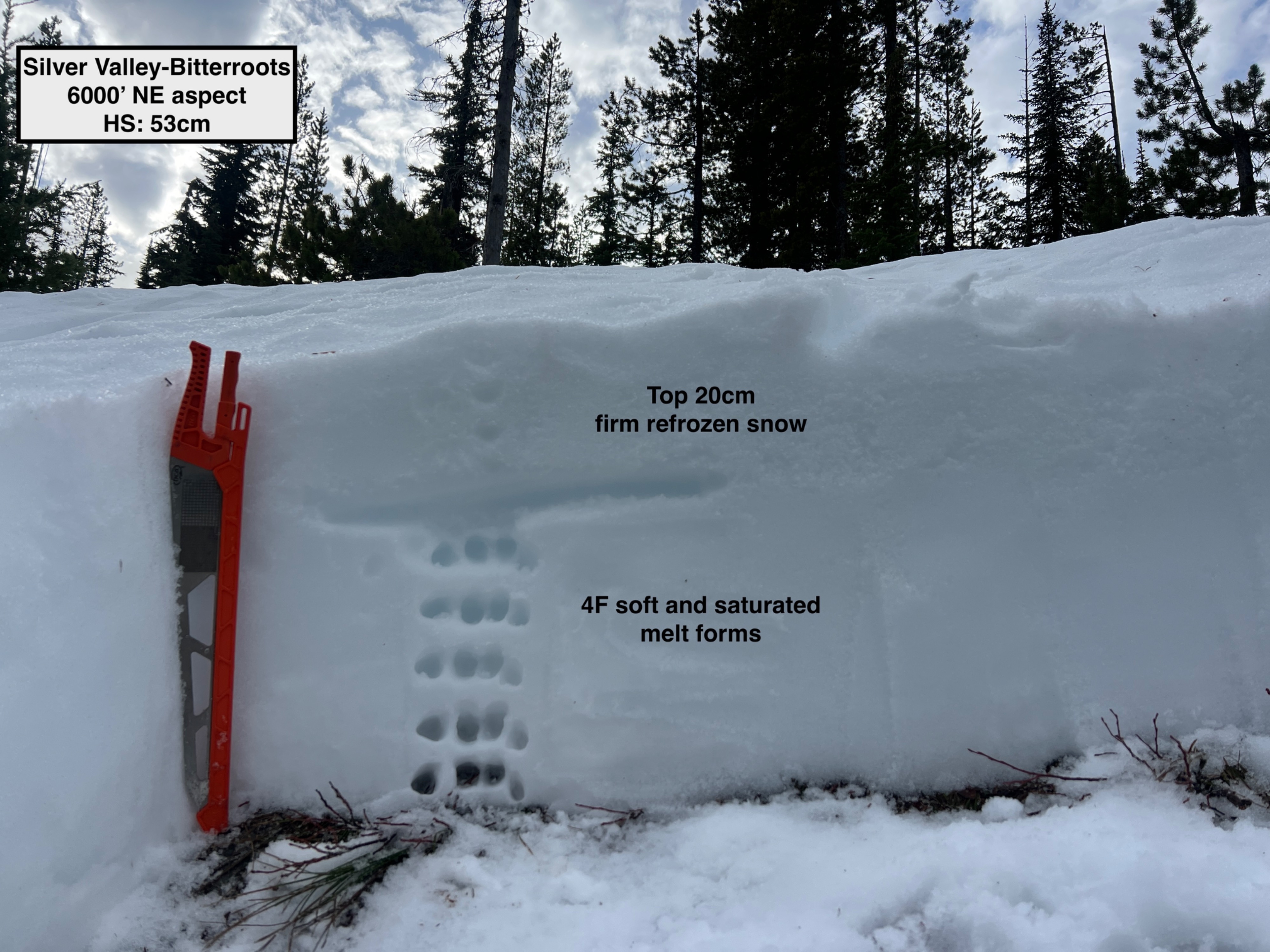
On a NE aspect at 6000', HS was 53cm. The upper 15-20cm of the snowpack is starting to refreeze, and was mostly supportable, but occasionally my boot would punch through. Below the refrozen snow, the rest of the snowpack was soft and saturated 4F melt forms. My test results yielded a CT11 SC 20cm down directly below the refrozen snow, and an ECTN18 in the same spot. I don't put a ton of weight in these results, as I think having to cut the crust skewed the outcome a bit.
Avalanche
None observed