
Quick report
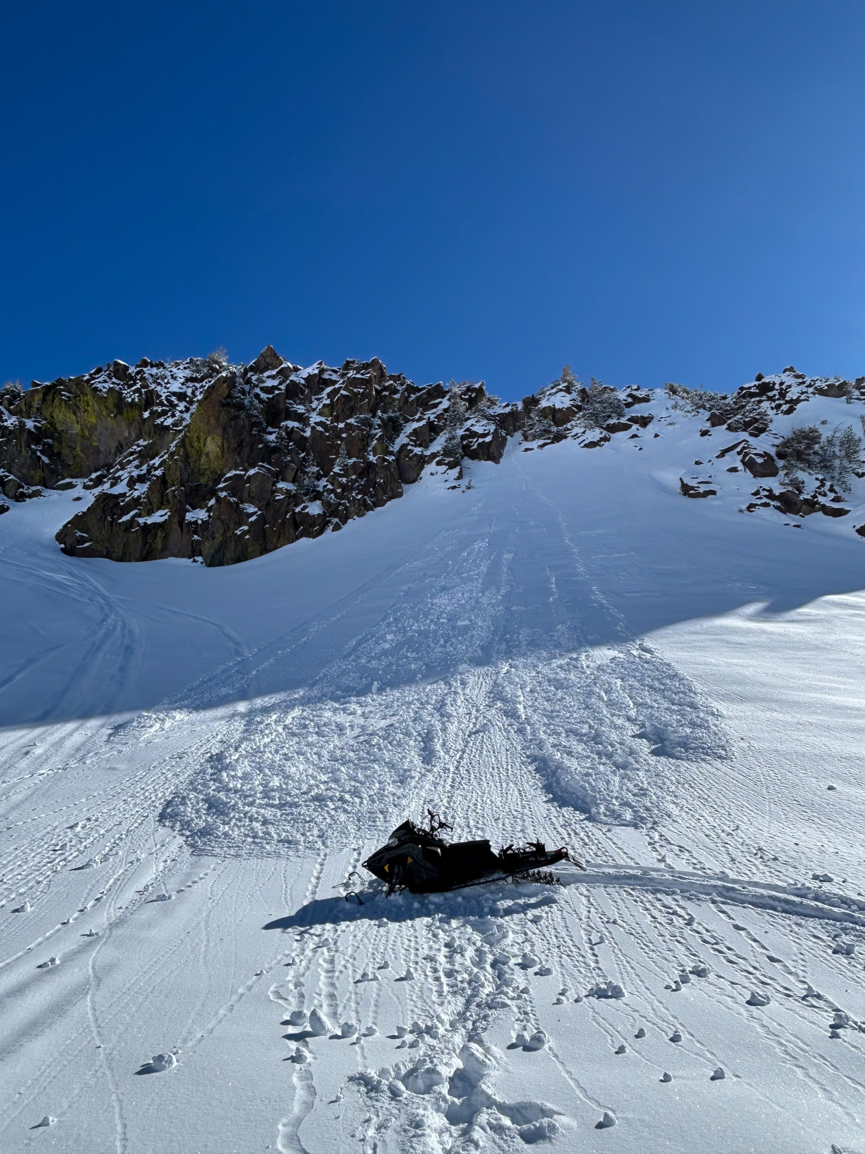
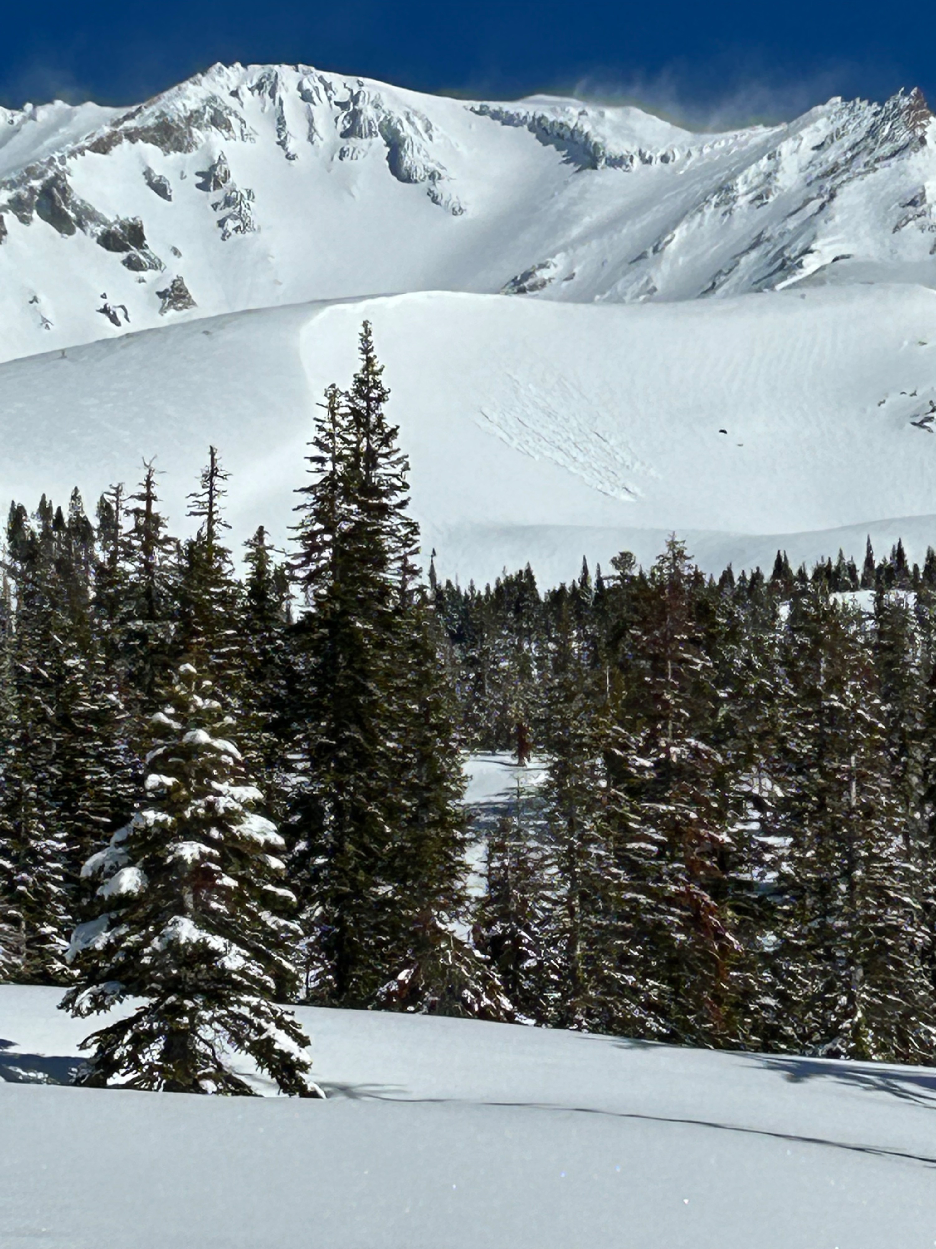
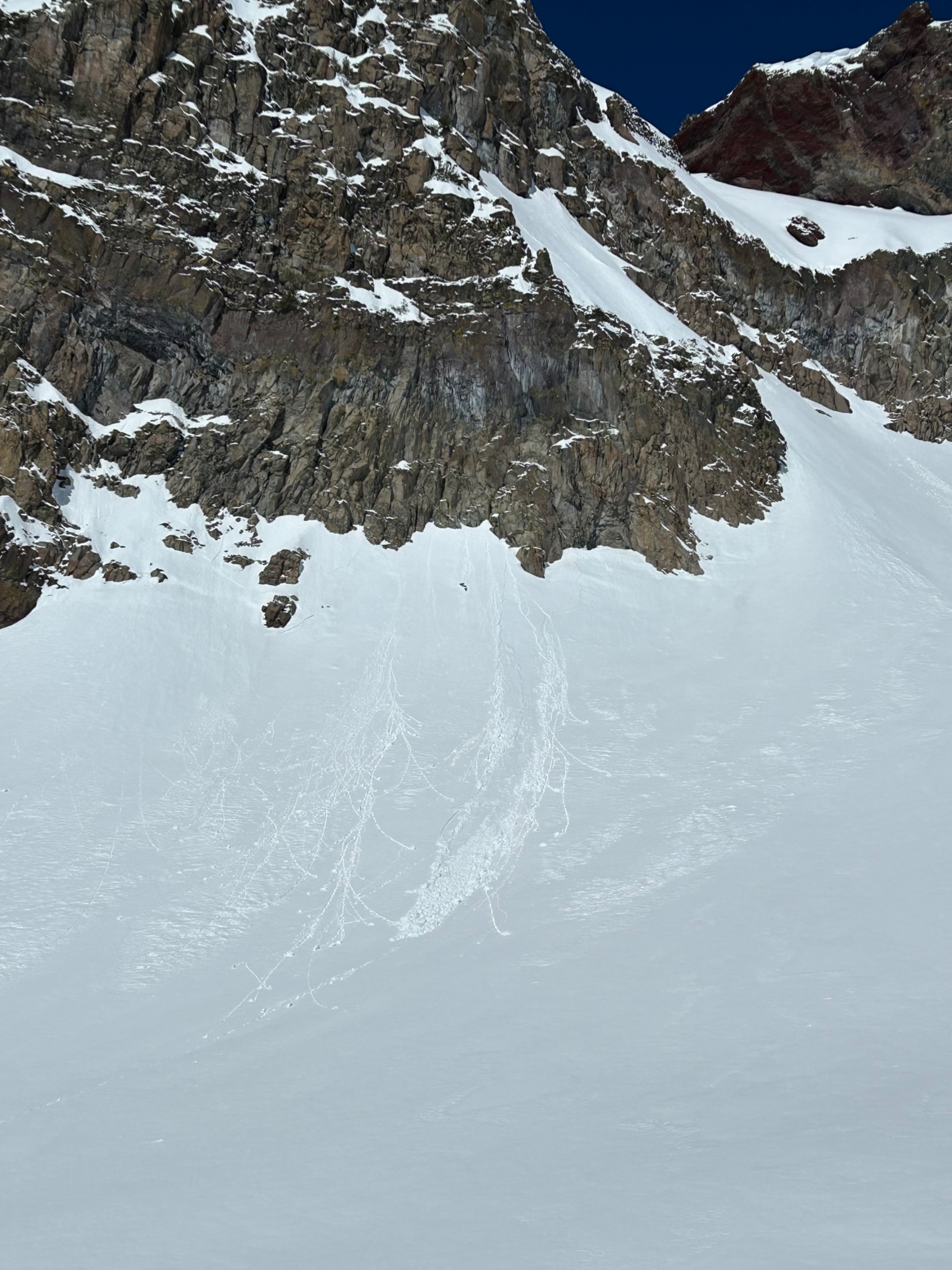
Today, forecasters observed multiple natural D1 wet-loose point releases. These likely released yesterday afternoon during a warming event. These point releases were observed on west, south, and east aspects near and above treeline. Roller balls were seen on sunny slopes beneath cliff bands; otherwise, no other red flags or signs of instability were observed.
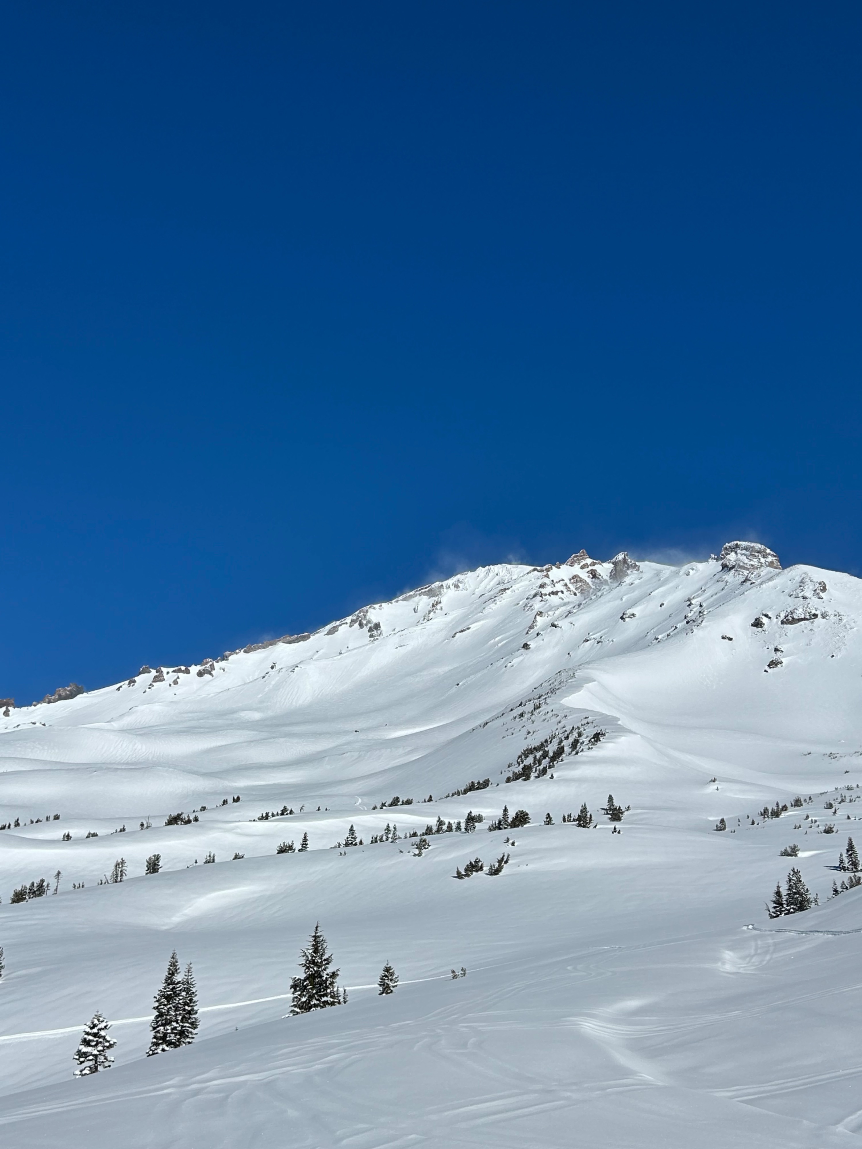
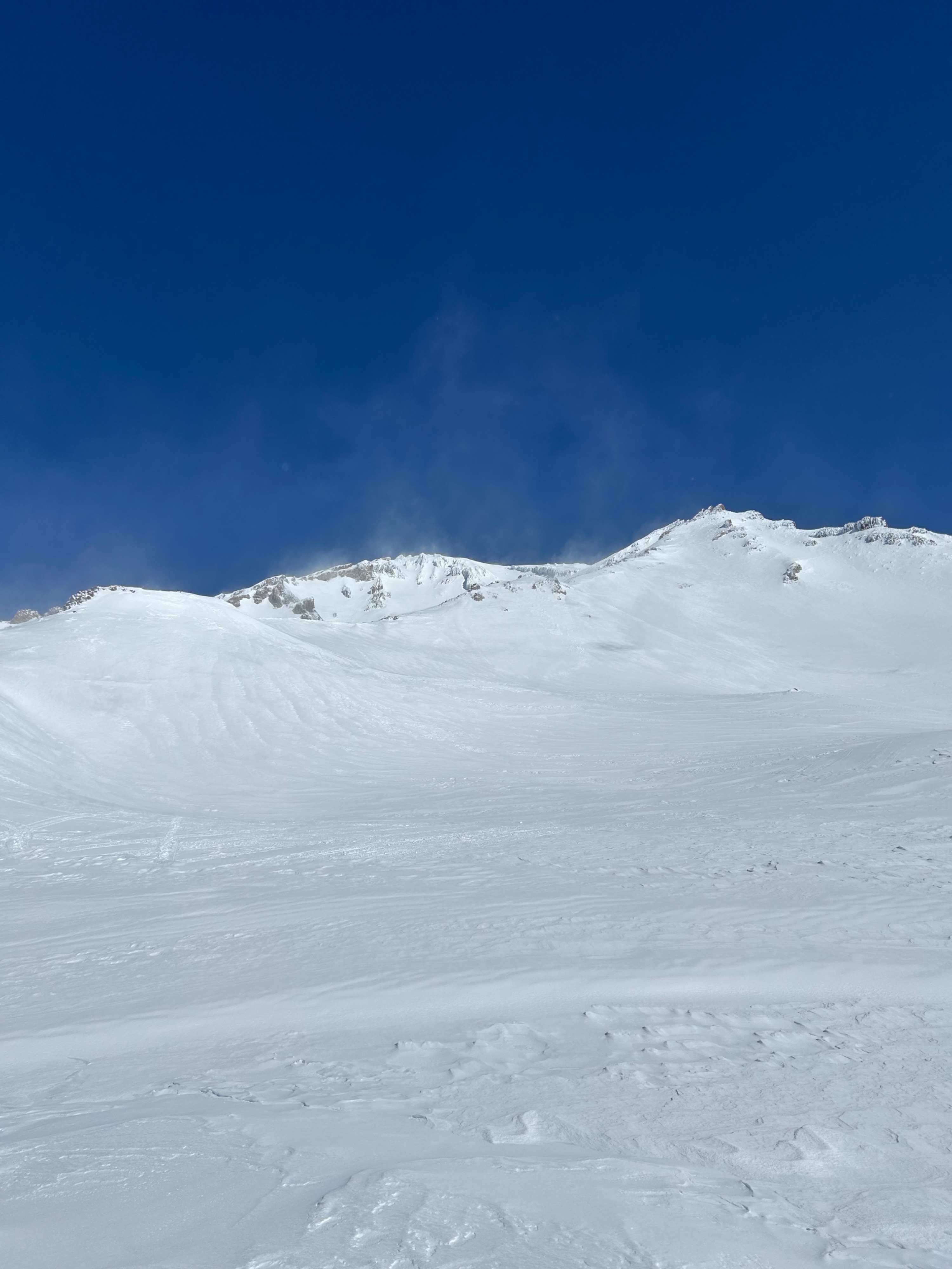
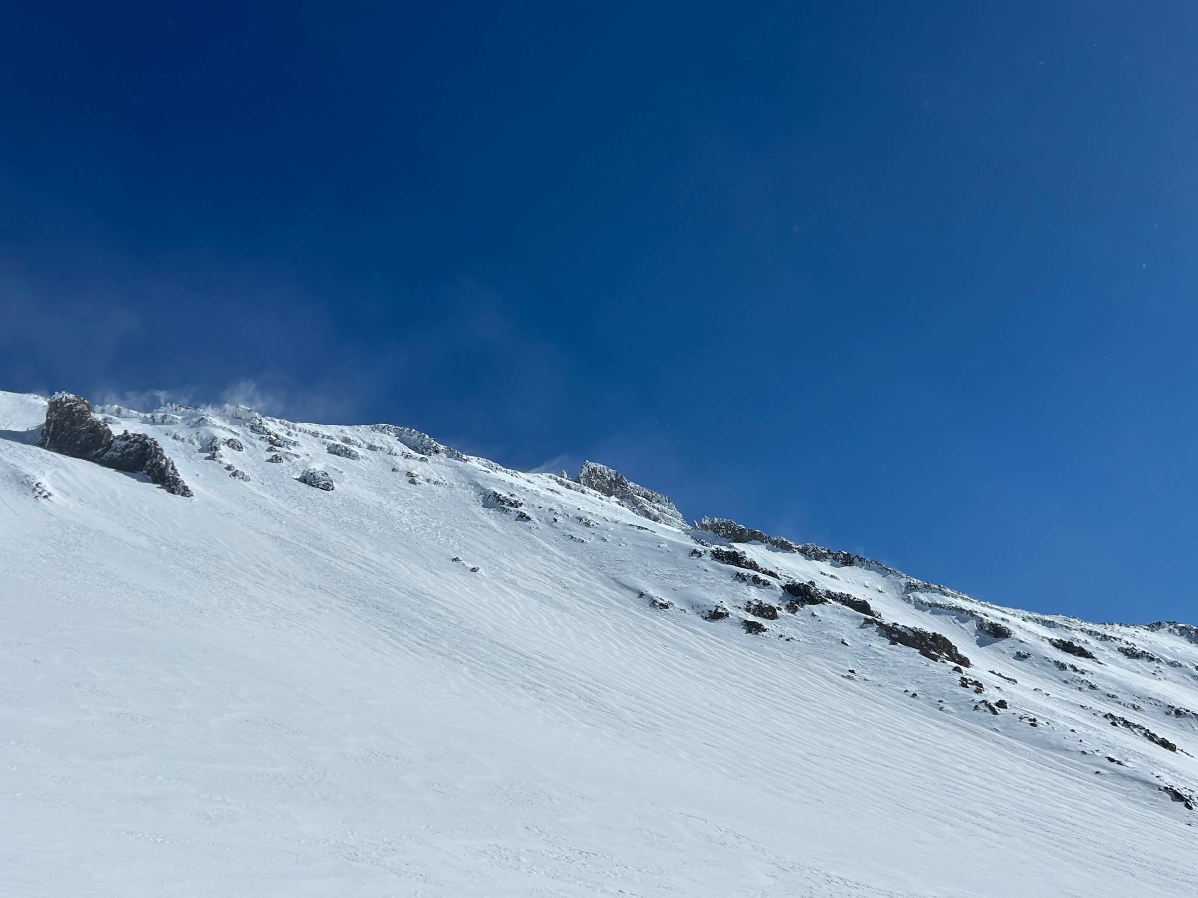
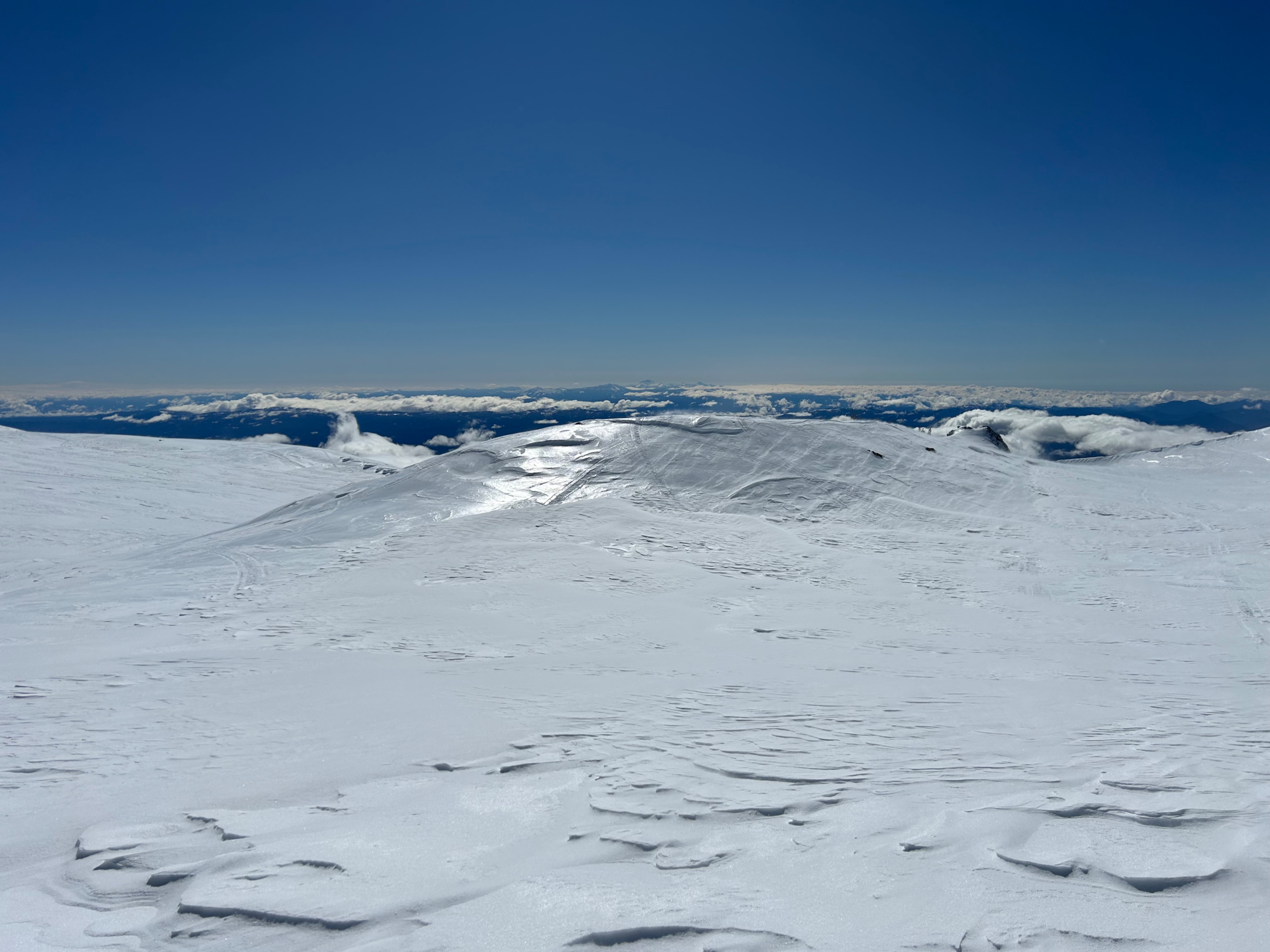
Wind effected snow exists near and above treeline. Most surfaces remain soft, with varying degrees of wind stiffened and textured surfaces. In exposed areas, surfaces have been scoured down to ice—tread cautiously.
Multiple natural D1 wet-loose point releases were observed on west, south, and east aspects, primarily near treeline.Weather
- Air Temp
- 35
- Cloud Cover
- few
- Wind Loading
- previous
- Recent Snowfall
- 12
- Snow Avail For Transport
- moderate amounts
The sky remained mostly clear. Northwest winds blew at moderate to strong speeds. Temperatures rose into the mid to high 30s.
Snowpack
The five to seven inches of new snow has settled out under sable weather and sunny skies. Warming snow surfaces were observed throughout the day on southerly facing slopes. As temperatures drop tonight, a surface crust is likely to develop in most areas.